2010s Maps of Jones County, Mississippi
Explore 60 historic maps of Jones County from the 2010s. These maps offer a rare glimpse into what life looked like during the 2010s — showing old roads, neighborhoods, homes, and landmarks that have changed or disappeared over time.
Whether you're researching your family's past, planning a metal detecting trip, or studying how Jones County's landscape evolved across the 2010s, these high-resolution maps are a powerful tool for exploring the history of this region.
- Focus on a specific era: All maps on this page are from the 2010s, giving you a focused view of this time period.
- See what’s changed: Compare century-old streets, trails, and buildings to today's modern landscape using overlays and satellite layers.
- Research with precision: Use these maps for genealogy, historical research, land use analysis, or educational projects.
- View, download, or print: Maps are fully viewable online in high resolution, and can be downloaded or printed for your own records.
Start exploring Jones County's history through authentic maps from the 2010s. This is your window into the past.
Jones County, MS maps
(60)- 2012 Map of Heidelberg SW, 2012 Print
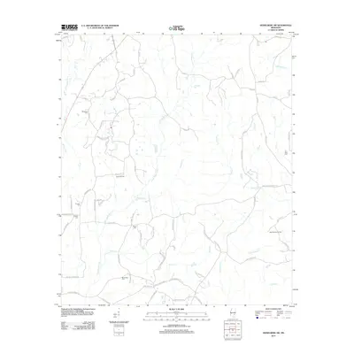 2012 Heidelberg SW2012 Print · USGSJasper County is captured here in the early twenty-first century, showing a landscape defined by creek drainages and petroleum extraction. Local historians can trace old family sites and burial grounds like Choctaw Cem, Florence Cem, and the West Eucutta Oil Field.
 - 2012 Map of Strengthford, 2012 Print
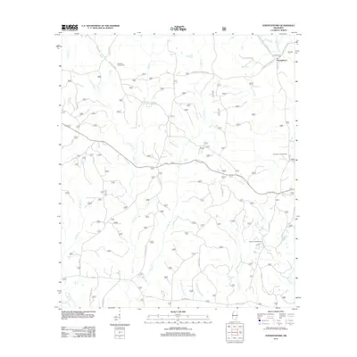 2012 Strengthford2012 Print · USGSStrengthford and the surrounding Wayne County woodlands are captured here in the early twenty-first century. Genealogists and local historians can locate Strengthford Cem, trace the Thompson Creek Oil Field, and follow old routes like Old Culpepper Rd.
 - 2012 Map of Myrick, 2012 Print
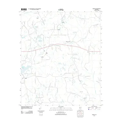 2012 Myrick2012 Print · USGSJones County and the community of Myrick are shown during a period of active resource extraction in the early twenty-first century. Genealogists and researchers can trace local family lines through sites like Myrick Cem or Sellers Cem and locate industrial landmarks like the Pool Creek Oil Field.
 - 2012 Map of Rhodes, 2012 Print
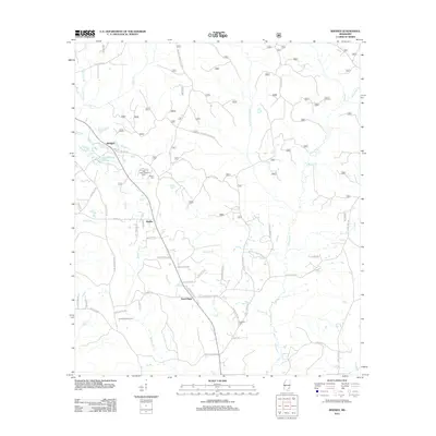 2012 Rhodes2012 Print · USGSJones County at the turn of the century shows a landscape where timber and agriculture meet along the many branches of Tiger Creek. Local historians can trace family roots through landmarks like Edwards Cemetery and the Tiger Creek Lookout Tower.
 - 2012 Map of Taylorsville, 2012 Print
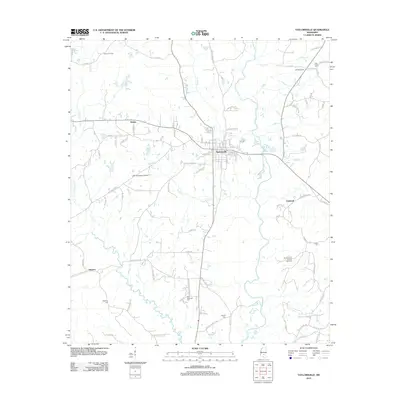 2012 Taylorsville2012 Print · USGSTaylorsville and the surrounding Smith County countryside appear here in the early twenty-first century, showcasing a landscape of timber and oil. Genealogists and local historians can trace family locations near Old Taylorsville, Gambrell, and the Oakhay Cem.
 - 2012 Map of Sanford, 2012 Print
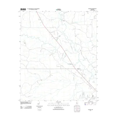 2012 Sanford2012 Print · USGSForrest County, Mississippi, is shown here in the early 2000s as a landscape of river-fed bottomlands and rural family settlements. Genealogists can locate several historic burial sites, including Byrd Cem, Rawls Cem, and Clinton Cem, while tracing the course of the Bouie River.
 - 2012 Map of Seminary, 2012 Print
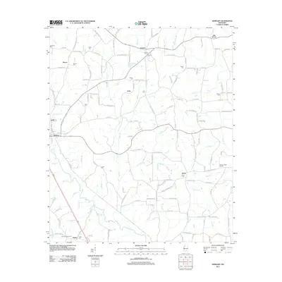 2012 Seminary2012 Print · USGSCovington County, Mississippi, is shown here as it appeared in the early 21st century, centered on the town of Seminary and the banks of Okatoma Cr. Researchers can locate several family burial grounds and historical landmarks, such as Moscos Cem, Lebanon Church, and the Sanford Lookout Tower.
 - 2012 Map of Hot Coffee, 2012 Print
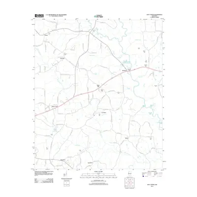 2012 Hot Coffee2012 Print · USGSCovington County, Mississippi, is shown here in the early twenty-first century, centered on the uniquely named settlement of Hot Coffee. Researchers can trace local lineage across nearly a dozen burial sites, including Old Hopewell Cem, Hebron Cem, and Geiger Cem.
 - 2012 Map of Moselle, 2012 Print
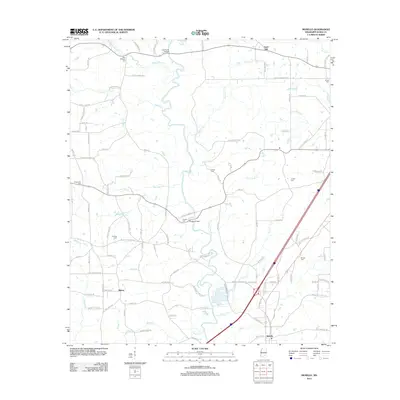 2012 Moselle2012 Print · USGSJones County, Mississippi, is shown here as it appeared in the early 21st century, centered on the Leaf River and its many tributaries. Researchers can locate family landmarks like Crosby Cem, Fairfield Cem, and the old crossing at Cranfords Bridge.
 - 2012 Map of Soso, 2012 Print
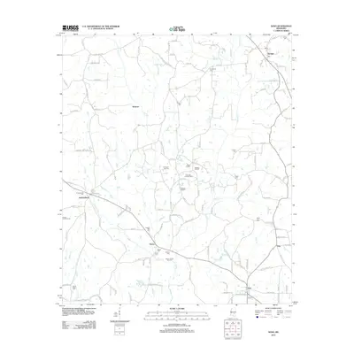 2012 Soso2012 Print · USGSJones and Jasper Counties in 2012 reveal a landscape shaped by both old timber settlements and the modern energy industry. Researchers can trace family history at Knights Mill Cem or explore the reach of the Gitano Oil and Gas Field and Soso Oil and Gas Field.
 - 2012 Map of Ovett, 2012 Print
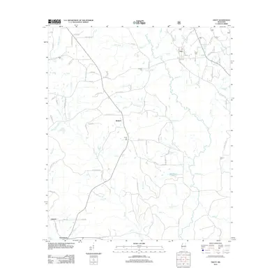 2012 Ovett2012 Print · USGSThe community of Ovett and the surrounding piney woods are documented here during the early twenty-first century. Genealogists and local historians can trace old homestead locations and cemetery sites like County Line Cem, Woodard Cem, and the rural settlement at Whitfield.
 - 2012 Map of Lanham, 2012 Print
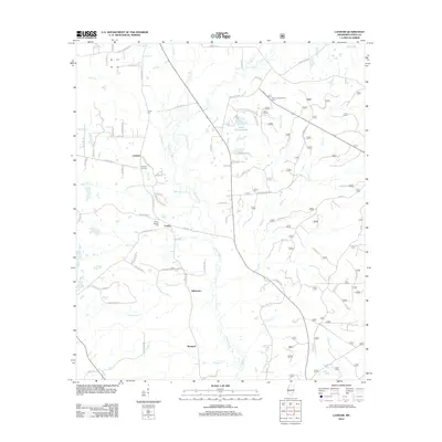 2012 Lanham2012 Print · USGSJones County, Mississippi, is shown here as it appeared in the early 2010s, defined by its rural settlements and the winding course of Bogue Homo. Family historians can trace local roots through Mount Moriah Cem, Tucker Cem, and the communities of Lanham and Crotts.
 - 2012 Map of Moss, 2012 Print
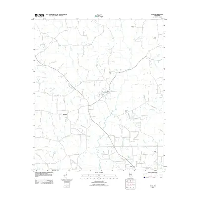 2012 Moss2012 Print · USGSJones County at the start of the decade shows a landscape of rural hamlets and family landholdings. Researchers can locate ancestral burial sites like Union Seminary Cem and Matthews Cem near settlements such as Moss and Shady Grove.
 - 2012 Map of Eastabuchie, 2012 Print
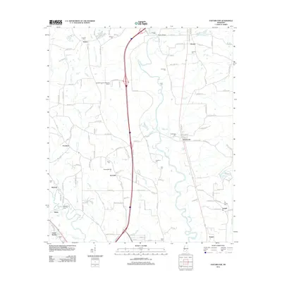 2012 Eastabuchie2012 Print · USGSThe Pine Belt region north of Hattiesburg is documented here in the early twenty-first century, showing a landscape shaped by the Leaf River. Genealogists can locate numerous burial sites such as Edmonson Cem and Fairchild Cem, while tracing the rural footprints of Eastabuchie and Providence.
 - 2012 Map of Laurel West, 2012 Print
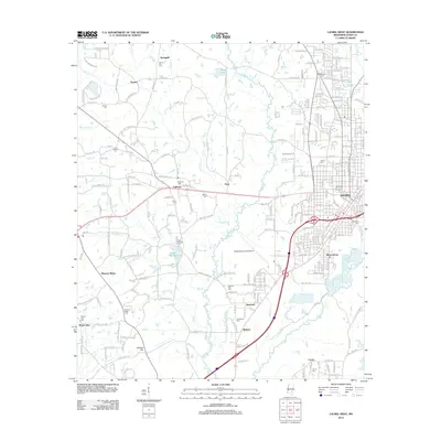 2012 Laurel West2012 Print · USGSWestern Jones County in the early 2010s shows a landscape of growing aviation hubs and deeply rooted rural communities. Genealogists can trace family footprints across Spring Hill Cem, Indian Springs Cem, and the neighborhoods of Queensburg.
 - 2012 Map of Sandersville, 2012 Print
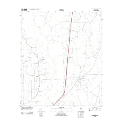 2012 Sandersville2012 Print · USGSJones County communities like Sandersville and Sharon are shown during the early 2010s amidst a landscape of oil fields and creek bottoms. Researchers can locate local landmarks like the Sharon Oil Field, Errata Lookout Tower, and numerous family cemeteries.
 - 2012 Map of Hebron, 2012 Print
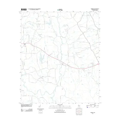 2012 Hebron2012 Print · USGSJones County's rural character and riverine landscape are captured here during the early 2010s. Local researchers can trace family roots at Big Creek Cem and Centreville Cem or follow the waters of the Leaf River and Horseshoe Lake.
 - 2012 Map of Ellisville, 2012 Print
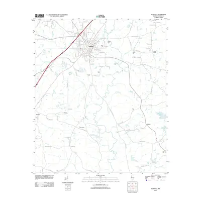 2012 Ellisville2012 Print · USGSJones County at the start of the twenty-first century reveals a landscape shaped by rural settlements and winding creeks. Genealogists can trace family landmarks through sites like Tularosa Cem, Oak Grove, and the community of Pecan Grove.
 - 2012 Map of Laurel East, 2012 Print
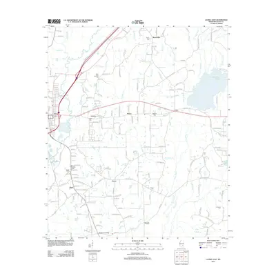 2012 Laurel East2012 Print · USGSJones County east of Laurel shows a landscape of small timber-country settlements and winding creeks in the early twenty-first century. Genealogists and local historians can locate several family-named landmarks and burial sites like the Old Meeting House and Mount Vernon Cemetery.
 - 2012 Map of Barrontown, 2012 Print
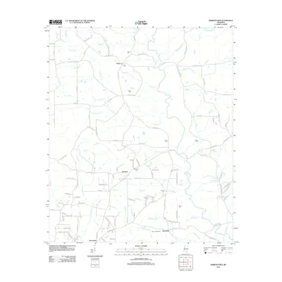 2012 Barrontown2012 Print · USGSEastern Forrest County is captured here in the early 2010s, showing a rural landscape defined by the Tallahala Cr basin and small forest-bound communities. Local historians can trace family roots through several landmarks like Morriston Cem, Barlow Cem, and the Petal Lookout Tower.
 - 2015 Map of Heidelberg SW, 2015 Print
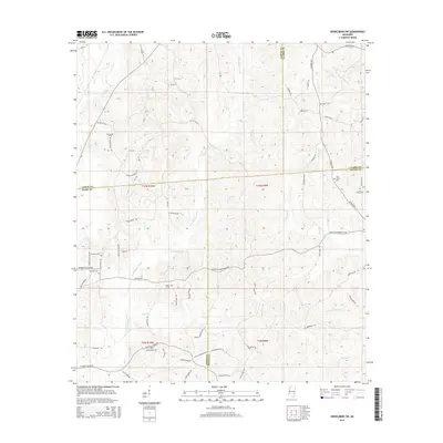 2015 Heidelberg SW2015 Print · USGSJasper and Jones counties remain largely rural in the mid-2010s, centered on the headwaters of the Bogue Homo. Family historians can trace local roots through several burial sites like Choctaw Cem, McFarland Cem, and Zion Rest Cem.
 - 2015 Map of Hebron, 2015 Print
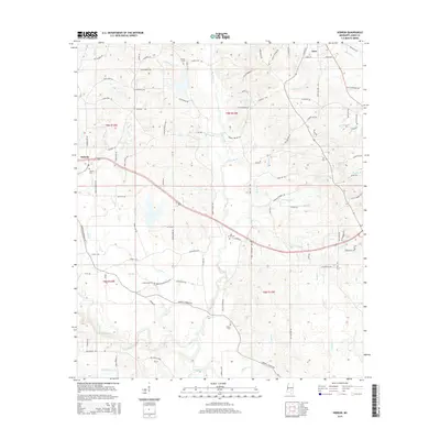 2015 Hebron2015 Print · USGSJones County communities like Hebron and Soso are captured here during the mid-2010s. Researchers can trace local lineage through numerous rural burial sites like Elzey Cem and Hill Cem or follow the path of the Leaf River.
 - 2015 Map of Moselle, 2015 Print
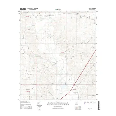 2015 Moselle2015 Print · USGSJones County's river-fed landscape is captured here during a period of steady rural continuity. Genealogists and local historians can trace family land ties near Cranfords Bridge and several burial sites like New Bethany Cem and Fairfield Cem.
 - 2015 Map of Taylorsville, 2015 Print
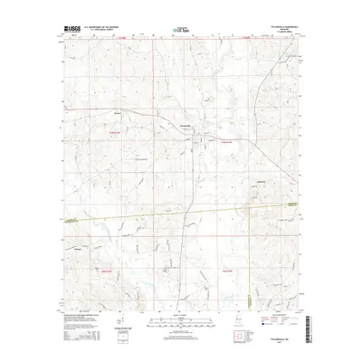 2015 Taylorsville2015 Print · USGSThe Smith County seat of Taylorsville sits at the center of this rural Mississippi landscape in the mid-2010s. Researchers can trace family history through numerous rural landmarks, including Oakohay Cem, Wisner, and the community around New Hopewell Cem.
 - 2015 Map of Seminary, 2015 Print
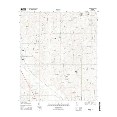 2015 Seminary2015 Print · USGSThe Covington County piney woods come alive in the mid-2010s, centered on the town of Seminary and the flowing waters of Okatoma Creek. Genealogists and local historians can trace family ties through numerous rural burial grounds like Crosby Cem, Walters Cem, and Bethel Cem.
Showing maps 1-25 of 60
Top cities of Jones County
Frequently asked questions
- What are the different types of historical maps available for Jones County?
- What is the oldest map of Jones County?
- Where can I purchase historical maps of Jones County for my home or office?
- Where can I download high-res historical maps of Jones County?
- Are there historical topographic maps available for Jones County?
- Is there historical aerial imagery available for Jones County?
- Where are historical maps of Jones County sourced from?