2020s Maps of Jones County, Mississippi
Explore 40 historic maps of Jones County from the 2020s. These maps offer a rare glimpse into what life looked like during the 2020s — showing old roads, neighborhoods, homes, and landmarks that have changed or disappeared over time.
Whether you're researching your family's past, planning a metal detecting trip, or studying how Jones County's landscape evolved across the 2020s, these high-resolution maps are a powerful tool for exploring the history of this region.
- Focus on a specific era: All maps on this page are from the 2020s, giving you a focused view of this time period.
- See what’s changed: Compare century-old streets, trails, and buildings to today's modern landscape using overlays and satellite layers.
- Research with precision: Use these maps for genealogy, historical research, land use analysis, or educational projects.
- View, download, or print: Maps are fully viewable online in high resolution, and can be downloaded or printed for your own records.
Start exploring Jones County's history through authentic maps from the 2020s. This is your window into the past.
Jones County, MS maps
(40)- 2020 Map of Eastabuchie, 2020 Print
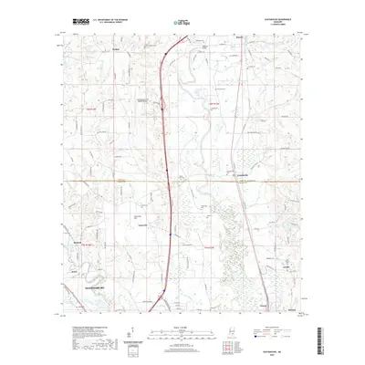 2020 Eastabuchie2020 Print · USGSCovers Jones County, including Hattiesburg, Petal, and other nearby areas
 - 2020 Map of Seminary, 2020 Print
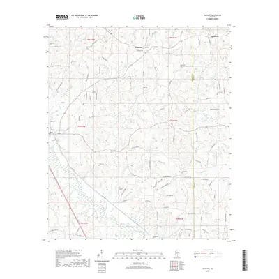 2020 Seminary2020 Print · USGSCovers Jones County, including Seminary, Moscos, and other nearby areas
 - 2020 Map of Hot Coffee, 2020 Print
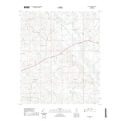 2020 Hot Coffee2020 Print · USGSCovers Jones County, including Shady Oak, Speedtown, and other nearby areas
 - 2020 Map of Sandersville, 2020 Print
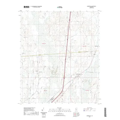 2020 Sandersville2020 Print · USGSCovers Jones County, including Laurel, Sandersville, and other nearby areas
 - 2020 Map of Moss, 2020 Print
 2020 Moss2020 Print · USGSCovers Jones County, including Hoy, Matthews, and other nearby areas
 - 2020 Map of Soso, 2020 Print
 2020 Soso2020 Print · USGSCovers Jones County, including Soso, Amy, and other nearby areas
 - 2020 Map of Moselle, 2020 Print
 2020 Moselle2020 Print · USGSCovers Jones County, including Sand Hill, Moselle, and other nearby areas
 - 2020 Map of Barrontown, 2020 Print
 2020 Barrontown2020 Print · USGSCovers Jones County, including Petal, Barrontown, and other nearby areas
 - 2020 Map of Hebron, 2020 Print
 2020 Hebron2020 Print · USGSCovers Jones County, including Soso, Hebron, and other nearby areas
 - 2020 Map of Ellisville, 2020 Print
 2020 Ellisville2020 Print · USGSCovers Jones County, including Ellisville, Pecan Grove, and other nearby areas
 - 2020 Map of Sanford, 2020 Print
 2020 Sanford2020 Print · USGSCovers Jones County, including Hattiesburg, Sanford, and other nearby areas
 - 2020 Map of Laurel West, 2020 Print
 2020 Laurel West2020 Print · USGSCovers Jones County, including Laurel, Ellisville, and other nearby areas
 - 2020 Map of Taylorsville, 2020 Print
 2020 Taylorsville2020 Print · USGSCovers Jones County, including Taylorsville, Wisner, and other nearby areas
 - 2020 Map of Laurel East, 2020 Print
 2020 Laurel East2020 Print · USGSCovers Jones County, including Laurel, Glaston, and other nearby areas
 - 2020 Map of Heidelberg SW, 2020 Print
 2020 Heidelberg SW2020 Print · USGSCovers Jones County, including Heidelberg, Wayne County, and other nearby areas
 - 2020 Map of Myrick, 2020 Print
 2020 Myrick2020 Print · USGSCovers Jones County, including Myrick, Mill Creek, and other nearby areas
 - 2021 Map of Strengthford, 2021 Print
 2021 Strengthford2021 Print · USGSCovers Jones County, including Strengthford, Wayne County, and other nearby areas
 - 2021 Map of Rhodes, 2021 Print
 2021 Rhodes2021 Print · USGSCovers Jones County, including Blodgett, Rhodes, and other nearby areas
 - 2021 Map of Ovett, 2021 Print
 2021 Ovett2021 Print · USGSCovers Jones County, including Fox, Ovett, and other nearby areas
 - 2021 Map of Lanham, 2021 Print
 2021 Lanham2021 Print · USGSCovers Jones County, including Crotts, Lanham, and other nearby areas
 - 2024 Map of Hot Coffee, 2024 Print
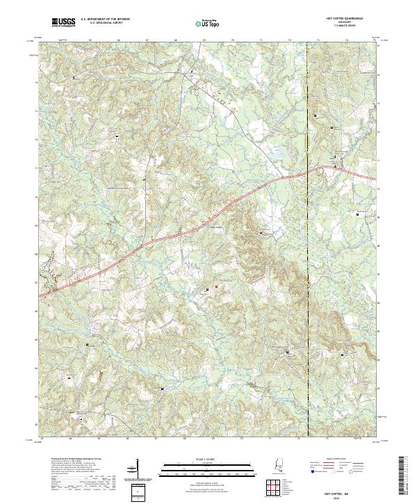 2024 Hot Coffee2024 Print · USGSCovington and Jones counties are captured here in a period of settled rural life along the Leaf River. Genealogists can trace family heritage through numerous landmarks like the John Jackie Knight Family Cem, Union Cem, and Hatton Cem.
 - 2024 Map of Rhodes, 2024 Print
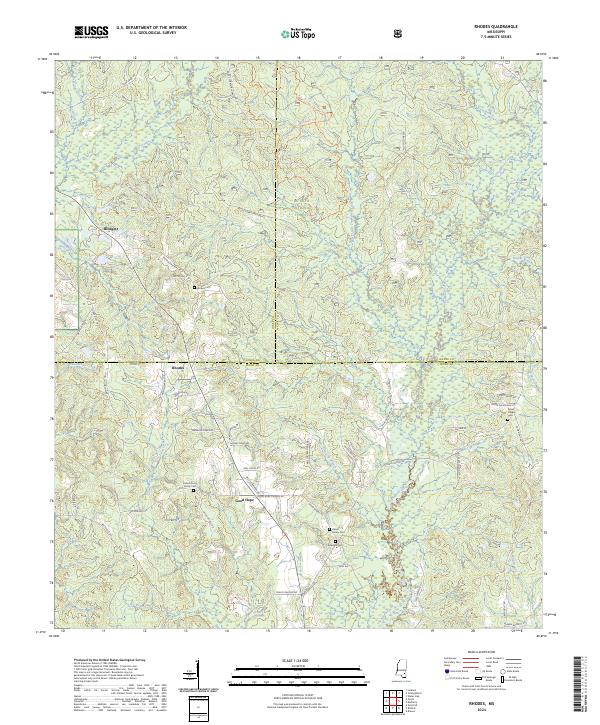 2024 Rhodes2024 Print · USGSPerry County and the southern reaches of the De Soto National Forest appear here in fine detail during the early 2020s. Genealogists can trace family connections through numerous rural burial sites like the Dewitt Family Cem and the Dykes Chapel Cem.
 - 2024 Map of Hebron, 2024 Print
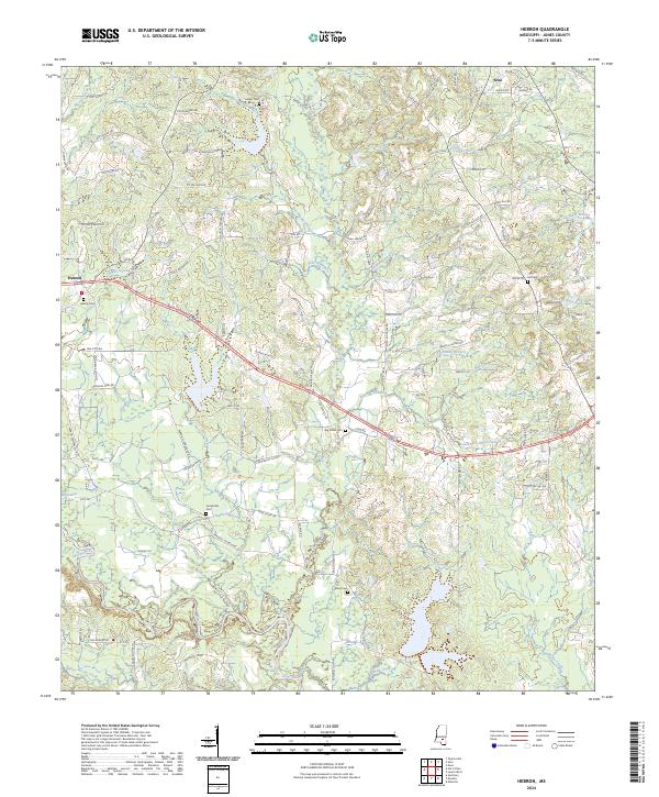 2024 Hebron2024 Print · USGSJones County's rural landscapes and the Leaf River basin are captured in this modern survey. Genealogists can trace family connections through numerous landmarks like Hebron Cem, Centerville Cem, and Soso.
 - 2024 Map of Ovett, 2024 Print
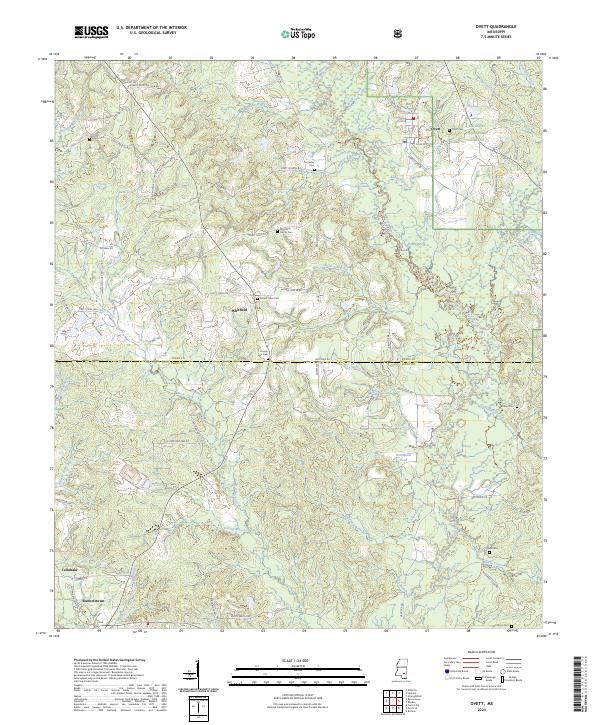 2024 Ovett2024 Print · USGSJones and Perry counties maintain their deep-seated timber and farming roots in this modern-day look at the Pine Belt. Researchers can pinpoint several family burial sites including Broadway Family Cem and Woodard Cem near Ovett and Whitfield.
 - 2024 Map of Soso, 2024 Print
 2024 Soso2024 Print · USGSThe tri-county border area of Jones, Jasper, and Smith Counties is shown here in the mid-2020s, featuring rural communities and family landmarks. Genealogists can trace ancestral sites at Union Line Cem, Welch Cem, and Summerland Baptist Church.
Showing maps 1-25 of 40
Top cities of Jones County
Frequently asked questions
- What are the different types of historical maps available for Jones County?
- What is the oldest map of Jones County?
- Where can I purchase historical maps of Jones County for my home or office?
- Where can I download high-res historical maps of Jones County?
- Are there historical topographic maps available for Jones County?
- Is there historical aerial imagery available for Jones County?
- Where are historical maps of Jones County sourced from?