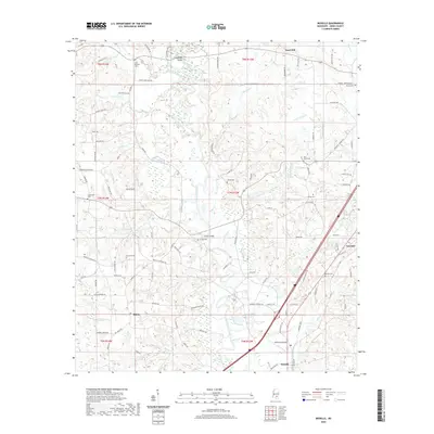
2020 Map of Moselle
USGS Topo · Published 2020About this map
Sand Hill lies in the northern reaches of this Mississippi landscape, representing a quiet rural settlement pattern typical of Jones County. The geography is characterized by the upland terrain and drainage systems that define the local topography, with Tawanta situated to the southeast. These small hubs reflect the long-standing community structures of the region, where crossroads and local names serve as the primary anchors for residency and social organization. The map illustrates the contemporary road network and land divisions that have evolved over decades, providing a detailed record of the intersections between established settlements and the natural features of the Piney Woods.
Find a feature on this map
2 named features on this map. Tap any name to fly to it.
Don’t see what you’re looking for? This feature index may not catch every label — zoom into the map to look around manually.
Map Details
Editions of this 2020 Moselle Map
This is the sole edition of this map. No revisions or reprints were ever made.
Other maps of this area

1953 · Hattiesburg
USGS Topo · 1:250,000

1958 · Hattiesburg
USGS Topo · 1:250,000

1963 · Barrontown
USGS Topo · 1:24,000

1964 · Laurel West
USGS Topo · 1:24,000

1964 · Seminary
USGS Topo · 1:24,000

1964 · Ellisville
USGS Topo · 1:24,000

1965 · Hebron
USGS Topo · 1:24,000

1965 · Eastabuchie
USGS Topo · 1:24,000

1965 · Hot Coffee
USGS Topo · 1:24,000

1965 · Moselle
USGS Topo · 1:24,000