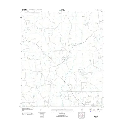
2012 Map of Moss
USGS Topo · Published 2012About this map
Moss and Shady Grove anchor this Jones County landscape, showing the distribution of rural Mississippi communities in the early 2010s. The settlement pattern is defined by several clusters of homes and family-named landmarks, such as Matthews and the small station at Hoy. Genealogists will find significant value in the documentation of several local burial grounds, including the Union Seminary Cem, Memory Gardens Cem, and Welborn Cem, which are scattered throughout the rural hinterland.
Find a feature on this map
121 named features on this map. Tap any name to fly to it.
Don’t see what you’re looking for? This feature index may not catch every label — zoom into the map to look around manually.
Map Details
Editions of this 2012 Moss Map
This is the sole edition of this map. No revisions or reprints were ever made.
Other maps of this area

1953 · Hattiesburg
USGS Topo · 1:250,000

1958 · Hattiesburg
USGS Topo · 1:250,000

1963 · Waldrup
USGS Topo · 1:24,000

1964 · Moss
USGS Topo · 1:24,000

1964 · Sandersville
USGS Topo · 1:24,000

1964 · Laurel East
USGS Topo · 1:24,000

1964 · Laurel West
USGS Topo · 1:24,000

1964 · Lake Como
USGS Topo · 1:24,000

1965 · Hebron
USGS Topo · 1:24,000

1974 · Soso
USGS Topo · 1:24,000