2020s Maps of Lamar County, Mississippi
Explore 32 historic maps of Lamar County from the 2020s. These maps offer a rare glimpse into what life looked like during the 2020s — showing old roads, neighborhoods, homes, and landmarks that have changed or disappeared over time.
Whether you're researching your family's past, planning a metal detecting trip, or studying how Lamar County's landscape evolved across the 2020s, these high-resolution maps are a powerful tool for exploring the history of this region.
- Focus on a specific era: All maps on this page are from the 2020s, giving you a focused view of this time period.
- See what’s changed: Compare century-old streets, trails, and buildings to today's modern landscape using overlays and satellite layers.
- Research with precision: Use these maps for genealogy, historical research, land use analysis, or educational projects.
- View, download, or print: Maps are fully viewable online in high resolution, and can be downloaded or printed for your own records.
Start exploring Lamar County's history through authentic maps from the 2020s. This is your window into the past.
Lamar County, MS maps
(32)- 2020 Map of Pinebur, 2020 Print
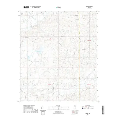 2020 Pinebur2020 Print · USGSPinebur and Hub appear in detail during the late twenty-teens, documenting a landscape of small Mississippi settlements and family landholdings. Genealogists and historians can locate Pinebur Cem, Cook Cem, and follow the waters of Lower Little Creek.
 - 2020 Map of Dixie, 2020 Print
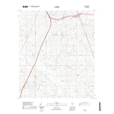 2020 Dixie2020 Print · USGSForrest and Lamar Counties are shown in this contemporary study of the Pine Belt's evolving rural and suburban interface. Genealogists and historians can trace family-named sites like Mineral Springs Cem, Clark Cem, and the community around Dixie.
 - 2020 Map of Baxterville NE, 2020 Print
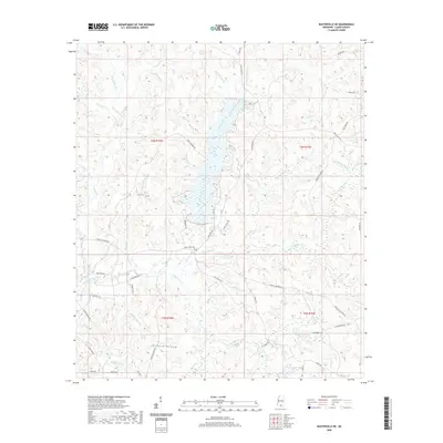 2020 Baxterville NE2020 Print · USGSLamar County in 2020 remains a landscape of deep creek valleys and family-named roads. Genealogists and local historians can locate the Bay Creek Cem or trace the drainages of Hickory Hollow and Sweetwater Br.
 - 2020 Map of Bassfield, 2020 Print
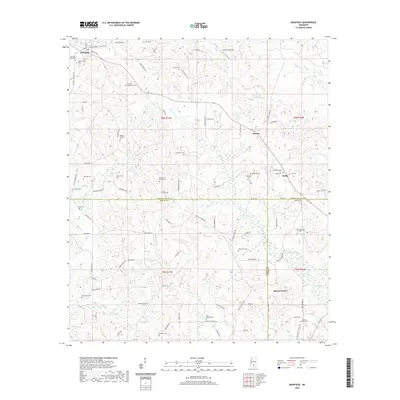 2020 Bassfield2020 Print · USGSJefferson Davis County near the border of Marion and Lamar Counties shows a rural landscape defined by family legacies in the early twenty-first century. Genealogists can locate numerous family burial sites like Blackburn-Carter Cem and Stewart-Thompson Cem near the town of Bassfield.
 - 2020 Map of Sumrall, 2020 Print
 2020 Sumrall2020 Print · USGSThe intersection of Covington and Lamar Counties comes into focus in this recent survey of the Mississippi piney woods. Genealogists and local historians can trace family roots through numerous burial grounds like Bethlehem Cem, Byrd Cem, and King Cem near Sumrall.
 - 2020 Map of Baxterville SW, 2020 Print
 2020 Baxterville SW2020 Print · USGSThe rural borderlands of southern Mississippi and northern Louisiana are documented here at the turn of the decade. Genealogists can locate several family and community burial sites, including Ford Cem, New Hope Cem, and Howard Cem.
 - 2020 Map of Oloh, 2020 Print
 2020 Oloh2020 Print · USGSThe rural community of Oloh and its surrounding timberlands are documented here in the early twenty-first century. Researchers can trace local lineages through numerous burial grounds like Martin Lott Cem and Dickens Cem, or follow the winding course of Black Creek.
 - 2020 Map of Hattiesburg SW, 2020 Print
 2020 Hattiesburg SW2020 Print · USGSHattiesburg and the surrounding Lamar County communities are captured here as they appeared in 2020. Local researchers can trace family landmarks and burial sites like Grantham Cem and Old Eaton Cem or follow the suburban growth toward Oak Grove.
 - 2020 Map of Improve, 2020 Print
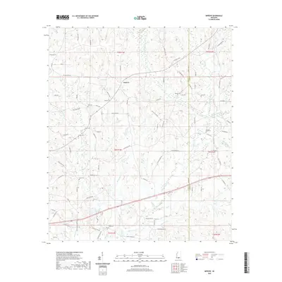 2020 Improve2020 Print · USGSThe rural border of Lamar and Marion counties comes into focus in this recent survey. Researchers can trace ancestral locations through nearly a dozen named burial sites, including Old Rocky Branch Cem, Improve Cem, and Watts Cem.
 - 2020 Map of Purvis, 2020 Print
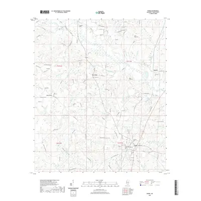 2020 Purvis2020 Print · USGSPurvis and the surrounding pine woods of Lamar County are captured here at the start of the 2020s. Researchers can locate numerous family-named landmarks and burial sites, including Hartfield Cem, Lee Hill, and the Gamble Chancery Building in the center of Purvis.
 - 2020 Map of Hattiesburg, 2020 Print
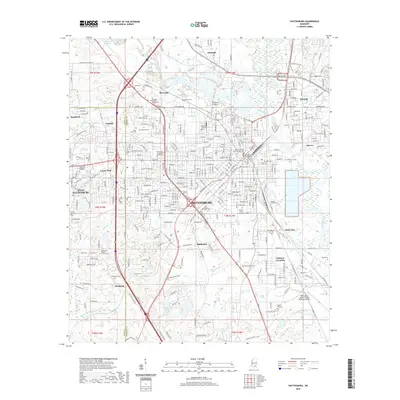 2020 Hattiesburg2020 Print · USGSHattiesburg and the surrounding Forrest County countryside are shown here at a moment of significant educational and civic development. Researchers can locate dozens of historic sites, including the University of Southern Mississippi and Roseland Park Cem.
 - 2020 Map of Sanford, 2020 Print
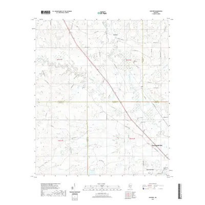 2020 Sanford2020 Print · USGSThe northern fringes of Hattiesburg meet the rural crossroads of Covington and Jones counties in this modern 2020 survey. Researchers can trace family history through local landmarks like Rawls Springs and several burial grounds, including Edmonson Cem and Lott Cem.
 - 2020 Map of Baxterville, 2020 Print
 2020 Baxterville2020 Print · USGSBaxterville and the surrounding piney woods come into focus on the eve of the 2020s. Researchers can trace family sites at Baxterville Cem or follow the route of Tatum Salt Dome Rd and Crown Zellerback Rd through the brakes and creeks.
 - 2021 Map of Hillsdale, 2021 Print
 2021 Hillsdale2021 Print · USGSCoastal plain pine forests and quiet settlements define this region of Pearl River County in recent years. Genealogists and historians can locate numerous family-named landmarks and burial grounds, including Rouse Field Cem, Lumpkin Cem, and the waters of Catfish Lake.
 - 2021 Map of Rock Hill, 2021 Print
 2021 Rock Hill2021 Print · USGSForrest County at the start of the 2020s remains a landscape of deep timber and winding creek bottoms. Genealogists and local historians can trace family roots through several isolated burial sites, including Battson Cem, Slade Cem, and Rock Hill Cem near Pistol Ridge.
 - 2021 Map of Lumberton, 2021 Print
 2021 Lumberton2021 Print · USGSLumberton and the surrounding Lamar County timberlands are documented here in the early twenty-first century. Genealogists can locate family-named landmarks and burial grounds including Samuel Slade Cemetery, Seneca, and the I H Bass Jr Memorial Airport.
 - 2024 Map of Bassfield, 2024 Print
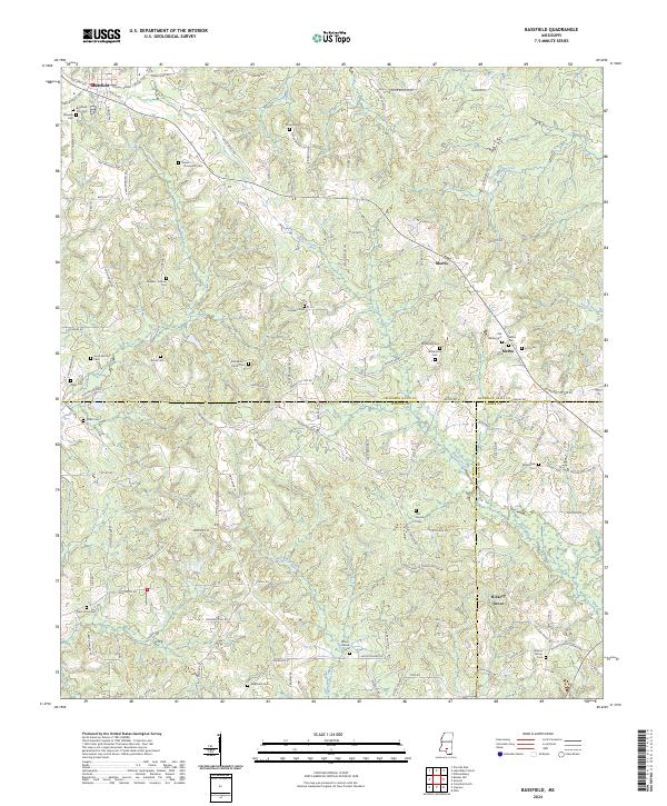 2024 Bassfield2024 Print · USGSBassfield and the surrounding tri-county borders of southern Mississippi appear here in the early twenty-first century. Genealogists can trace family lines across sites like Stewart - Thompson Cem, McLeod Cem, and the community of Melba.
 - 2024 Map of Sumrall, 2024 Print
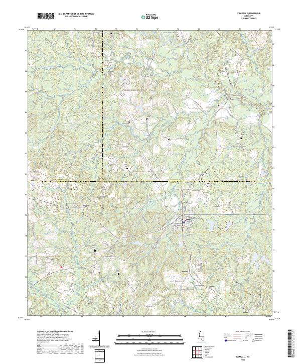 2024 Sumrall2024 Print · USGSThe town of Sumrall stands at the intersection of three counties in this recent survey of the Mississippi piney woods. Genealogists can trace family roots through numerous burial sites like Presley Watts Cem, Gates Cem, and Bethlehem Church Cem.
 - 2024 Map of Oloh, 2024 Print
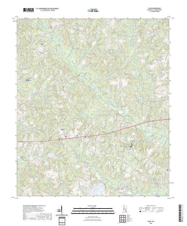 2024 Oloh2024 Print · USGSLamar County in the twenty-first century remains defined by its deep-seated family roots and the winding waters of Black Creek. Researchers can trace old homesteads and local lineage through Oloh Cem, Dickens Cem, and the various Midway Cem sites.
 - 2024 Map of Hattiesburg SW, 2024 Print
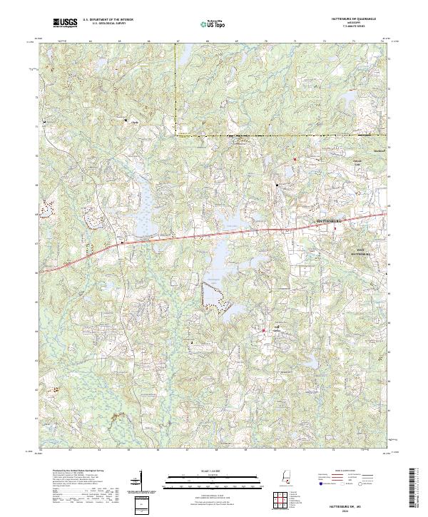 2024 Hattiesburg SW2024 Print · USGSHattiesburg and the surrounding Lamar County communities are captured here in the early twenty-first century as suburban growth meets long-standing rural landmarks. Local researchers can trace family names and early sites at Old Eaton Cem, Clyde, and Oak Grove.
 - 2024 Map of Improve, 2024 Print
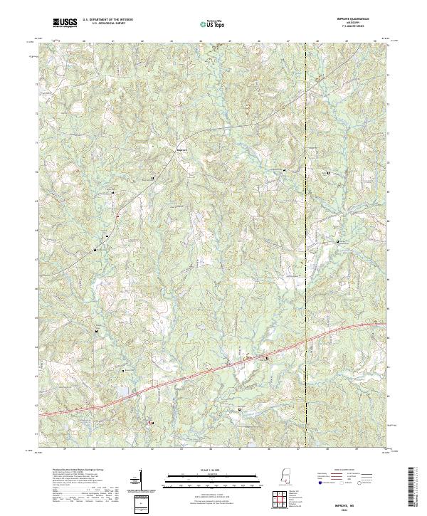 2024 Improve2024 Print · USGSMarion and Lamar Counties are shown here during a period of steady rural continuity. Local researchers can trace family landmarks across the landscape, from the Hopewell Cem and Stringer Cem to the headwaters of Buckhalter Mill Creek.
 - 2024 Map of Baxterville SW, 2024 Print
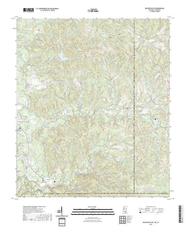 2024 Baxterville SW2024 Print · USGSMarion County and the Louisiana border come alive in this survey of the southern Mississippi piney woods. Genealogists can trace family connections at Rose Hill Baptist Church Cem, New Hope Cem, and Clear Creek Cem.
 - 2024 Map of Pinebur, 2024 Print
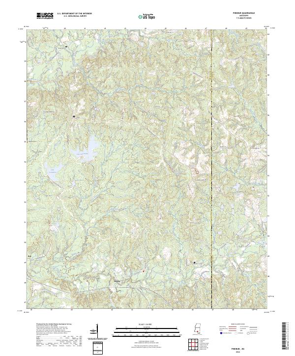 2024 Pinebur2024 Print · USGSPinebur and Hub are documented in the early twenty-first century, showcasing the rural character of the Mississippi piney woods. Researchers can locate family landmarks like Pinebur Cem and Cook Cem or trace the drainage of Turkey Branch near Lake Bill Waller.
 - 2024 Map of Baxterville, 2024 Print
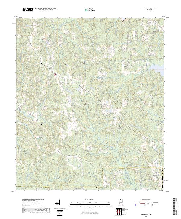 2024 Baxterville2024 Print · USGSBaxterville and the surrounding pine woods of Lamar and Pearl River counties are mapped here in the early 2020s. Genealogists and local researchers can trace family-named landmarks like Tatum Salt Dome Rd and the Baxterville Cem near Little Black Creek.
 - 2024 Map of Sanford, 2024 Print
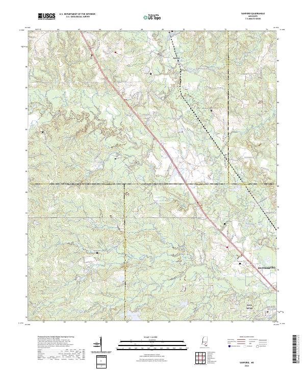 2024 Sanford2024 Print · USGSThe confluence of the Okatoma Creek and Bouie River defines this landscape where four Mississippi counties meet. Local historians can trace ancestral sites like Byrd Cem, Rawls Springs Baptist Church, and the settlement of Sanford.
Showing maps 1-25 of 32
Top cities of Lamar County
Frequently asked questions
- What are the different types of historical maps available for Lamar County?
- What is the oldest map of Lamar County?
- Where can I purchase historical maps of Lamar County for my home or office?
- Where can I download high-res historical maps of Lamar County?
- Are there historical topographic maps available for Lamar County?
- Is there historical aerial imagery available for Lamar County?
- Where are historical maps of Lamar County sourced from?