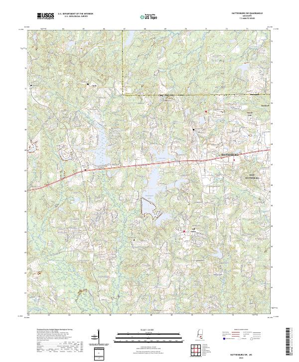
2024 Map of Hattiesburg SW
USGS Topo · Published 2024About this map
Clyde and the western suburban reaches of Hattiesburg define the landscape of this contemporary survey, where the boundary between Forrest County and Lamar County bisects a region of expanding residential development and natural drainage. The area is characterized by several water bodies, most notably Cole Lake and Hennington Lake, which are fed by systems like Perkins Creek and Sandy Run. Genealogists will find significant value in the distribution of family and community burial sites, including Oral Cem, Rawls Cem, and Bellvue Cem.
Find a feature on this map
152 named features on this map. Tap any name to fly to it.
Don’t see what you’re looking for? This feature index may not catch every label — zoom into the map to look around manually.
Map Details
Editions of this 2024 Hattiesburg SW Map
This is the sole edition of this map. No revisions or reprints were ever made.
Other maps of this area

1953 · Hattiesburg
USGS Topo · 1:250,000

1958 · Hattiesburg
USGS Topo · 1:250,000

1964 · Purvis
USGS Topo · 1:24,000

1964 · Hattiesburg
USGS Topo · 1:24,000

1965 · Hattiesburg SW
USGS Topo · 1:24,000

1965 · Dixie
USGS Topo · 1:24,000

1965 · Eastabuchie
USGS Topo · 1:24,000

1965 · Sanford
USGS Topo · 1:24,000

1969 · Baxterville NE
USGS Topo · 1:24,000

1974 · Sumrall
USGS Topo · 1:24,000