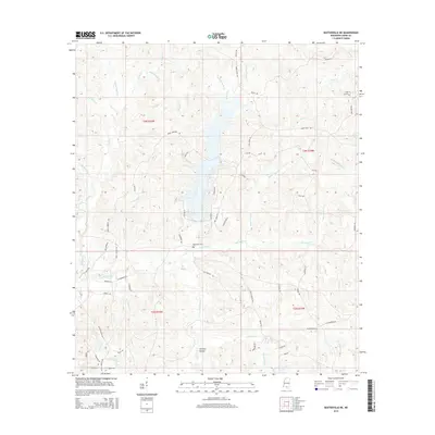
2015 Map of Baxterville NE
USGS Topo · Published 2015About this map
Bay Creek Cem sits centrally in this landscape of the Pine Belt, serving as a primary cultural anchor for the surrounding rural communities of Lamar County. The terrain is defined by an intricate network of waterways, including the winding Hurricane Cr and the marshy expanses of Gall Berry Brake. These water features, alongside Spice Pond Cr and Grantham Cr, have historically dictated the placement of homesteads and the winding paths of local connectors.
Find a feature on this map
75 named features on this map. Tap any name to fly to it.
Don’t see what you’re looking for? This feature index may not catch every label — zoom into the map to look around manually.
Map Details
Editions of this 2015 Baxterville NE Map
This is the sole edition of this map. No revisions or reprints were ever made.
Other maps of this area

1953 · Hattiesburg
USGS Topo · 1:250,000

1958 · Hattiesburg
USGS Topo · 1:250,000

1964 · Purvis
USGS Topo · 1:24,000

1964 · Lumberton
USGS Topo · 1:24,000

1965 · Hattiesburg SW
USGS Topo · 1:24,000

1969 · Baxterville SW
USGS Topo · 1:24,000
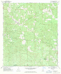
1969 · Baxterville
USGS Topo · 1:24,000

1969 · Baxterville NE
USGS Topo · 1:24,000

1969 · Pinebur
USGS Topo · 1:24,000

1974 · Oloh
USGS Topo · 1:24,000