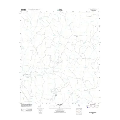
2012 Map of Baxterville NE
USGS Topo · Published 2012About this map
Tatums Camps and the surrounding pine-belt landscape of Lamar County are defined by a dense network of creeks and familial road names. The area is dominated by the drainage of Hurricane Cr, Little Bay Cr, and Blue Springs Br, creating a pattern of small hollows and ridges like Hickory Hollow. Historically significant routes, such as the Purvis to Columbia Rd, intersect with local paths that preserve family history, including Ben Sones Rd and Luther Saucier Rd.
Find a feature on this map
79 named features on this map. Tap any name to fly to it.
Don’t see what you’re looking for? This feature index may not catch every label — zoom into the map to look around manually.
Map Details
Editions of this 2012 Baxterville NE Map
This is the sole edition of this map. No revisions or reprints were ever made.
Other maps of this area

1953 · Hattiesburg
USGS Topo · 1:250,000

1958 · Hattiesburg
USGS Topo · 1:250,000

1964 · Purvis
USGS Topo · 1:24,000

1964 · Lumberton
USGS Topo · 1:24,000

1965 · Hattiesburg SW
USGS Topo · 1:24,000

1969 · Baxterville SW
USGS Topo · 1:24,000
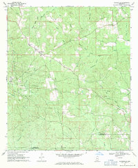
1969 · Baxterville
USGS Topo · 1:24,000

1969 · Baxterville NE
USGS Topo · 1:24,000

1969 · Pinebur
USGS Topo · 1:24,000

1974 · Oloh
USGS Topo · 1:24,000