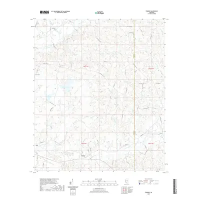
2020 Map of Pinebur
USGS Topo · Published 2020About this map
Pinebur and Hub serve as the primary human settlements in this corner of Marion County, where the landscape is defined by an intricate network of waterways including Lower Little Creek and Upper Little Creek. The map reveals a community deeply rooted in its local history, evidenced by several family-named landmarks and cemeteries such as Pinebur Cem, Cook Cem, and Breakfield Cem. To the west, a significant hydrologic system is visible, featuring Lake Columbia, Lake Bill Waller, and Lake Watts.
Find a feature on this map
86 named features on this map. Tap any name to fly to it.
Don’t see what you’re looking for? This feature index may not catch every label — zoom into the map to look around manually.
Map Details
Editions of this 2020 Pinebur Map
This is the sole edition of this map. No revisions or reprints were ever made.
Other maps of this area

1953 · Hattiesburg
USGS Topo · 1:250,000

1958 · Hattiesburg
USGS Topo · 1:250,000

1969 · Baxterville SW
USGS Topo · 1:24,000
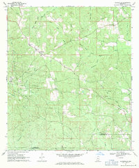
1969 · Baxterville
USGS Topo · 1:24,000

1969 · Baxterville NE
USGS Topo · 1:24,000

1969 · Pinebur
USGS Topo · 1:24,000

1970 · Columbia South
USGS Topo · 1:24,000

1970 · Columbia North
USGS Topo · 1:24,000
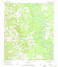
1970 · Sandy Hook
USGS Topo · 1:24,000

1974 · Oloh
USGS Topo · 1:24,000