Old Maps of Marion County, Mississippi
Explore 38 old maps of Marion County, spanning from 1949 to today. These high-resolution historic maps reveal how streets, neighborhoods, landmarks, and natural features evolved over time — perfect for genealogy, metal detecting, research, and local history exploration.
What you can do with these maps:
- See how Marion County changed over time: Compare historical maps to modern-day views to trace roads, homesites, rail lines & more.
- View detailed metadata: Each map includes creators, publishers, year, scale, and archive source.
- Overlay maps with satellite & LiDAR: Visualize the past alongside modern tools to explore terrain & human change.
- Trusted historical sources: Maps sourced from the USGS, Library of Congress, and other archives.
- Access maps your way: View online, download high-res files, or order prints for personal or research use.
Start exploring old maps of Marion County to uncover forgotten places, hidden landmarks, and the deep history beneath your feet.
Marion County, MS maps
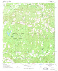
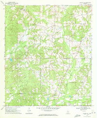
(38)- 1949 Map of Angie
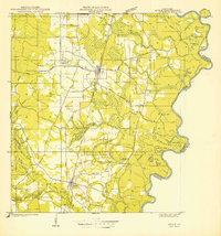 1949 Angie1949 Print · USGSCovers Marion County, including Varnado, Angie, and other nearby areas
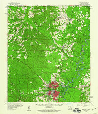
 - 1953 Map of Hattiesburg, 1965 Print
 1953 Hattiesburg1965 Print · USGSCovers Marion County, including Hattiesburg, Laurel, and other nearby areas4 unique versions available
 - 1953 Map of Natchez, 1966 Print
 1953 Natchez1966 Print · USGSCovers Marion County, including Natchez, McComb, and other nearby areas3 unique versions available
 - 1953 Map of Mobile, 1968 Print
 1953 Mobile1968 Print · USGSCovers Marion County, including New Orleans, Mobile, and other nearby areas3 unique versions available
 - 1956 Map of Natchez
 1956 Natchez1956 Print · USGSCovers Marion County, including Natchez, McComb, and other nearby areas
 - 1957 Map of Mobile
 1957 Mobile1957 Print · USGSCovers Marion County, including New Orleans, Mobile, and other nearby areas3 unique versions available
 - 1958 Map of Hattiesburg
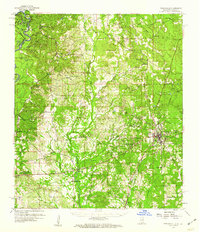
 1958 Hattiesburg1958 Print · USGSCovers Marion County, including Hattiesburg, Laurel, and other nearby areas2 unique versions available
 - 1959 Map of Natchez
 1959 Natchez1959 Print · USGSCovers Marion County, including Natchez, McComb, and other nearby areas
 - 1959 Map of Bogalusa, 1960 Print
 1959 Bogalusa1960 Print · USGSCovers Marion County, including Bogalusa, Varnado, and other nearby areas2 unique versions available
 - 1959 Map of Poplarville, 1960 Print
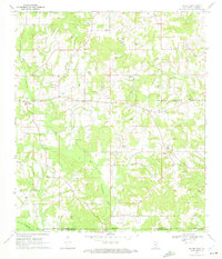
 1959 Poplarville1960 Print · USGSCovers Marion County, including Poplarville, West Poplarville, and other nearby areas3 unique versions available
 - 1960 Map of Mobile
 1960 Mobile1960 Print · USGSCovers Marion County, including New Orleans, Mobile, and other nearby areas
 - 1963 Map of Mobile
 1963 Mobile1963 Print · USGSCovers Marion County, including New Orleans, Mobile, and other nearby areas
 - 1965 Map of Mobile
 1965 Mobile1965 Print · USGSCovers Marion County, including New Orleans, Mobile, and other nearby areas
 - 1969 Map of Baxterville SW, 1971 Print
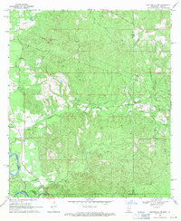 1969 Baxterville SW1971 Print · USGSCovers Marion County, including Rouse, Lamar County, and other nearby areas4 unique versions available
 - 1969 Map of Pinebur, 1971 Print
 1969 Pinebur1971 Print · USGSCovers Marion County, including Pinebur, Lamar County, and other nearby areas2 unique versions available
 - 1970 Map of Columbia South, 1972 Print
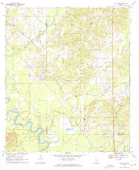
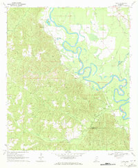
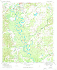 1970 Columbia South1972 Print · USGSCovers Marion County, including Columbia, Pickwick, and other nearby areas2 unique versions available
 - 1970 Map of Sandy Hook NW, 1972 Print
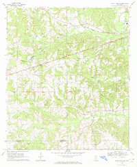 1970 Sandy Hook NW1972 Print · USGSCovers Marion County, including Sumbax, Hamage, and other nearby areas3 unique versions available
 - 1970 Map of Kokomo, 1972 Print
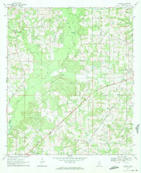 1970 Kokomo1972 Print · USGSCovers Marion County, including China Grove, Knoxo, and other nearby areas
 - 1970 Map of Bunker Hill, 1972 Print
 1970 Bunker Hill1972 Print · USGSCovers Marion County, including Bassfield, Ebenezer, and other nearby areas2 unique versions available
 - 1970 Map of Darbun, 1972 Print
 1970 Darbun1972 Print · USGSCovers Marion County, including Darbun, Sartinville, and other nearby areas
 - 1970 Map of Dexter, 1972 Print
 1970 Dexter1972 Print · USGSCovers Marion County, including Dexter, Washington Parish, and other nearby areas
 - 1970 Map of Morgantown, 1972 Print
 1970 Morgantown1972 Print · USGSCovers Marion County, including Newsom, Morgantown, and other nearby areas
 - 1970 Map of Oak Vale, 1972 Print
 1970 Oak Vale1972 Print · USGSCovers Marion County, including Society Hill, Hathorn, and other nearby areas2 unique versions available
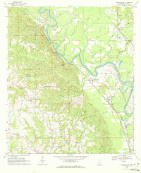
 - 1970 Map of Columbia North, 1972 Print
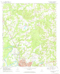 1970 Columbia North1972 Print · USGSCovers Marion County, including Columbia, Expose, and other nearby areas3 unique versions available
 - 1970 Map of Tilton, 1972 Print
 1970 Tilton1972 Print · USGSCovers Marion County, including Robinwood, Tilton, and other nearby areas
Showing maps 1-25 of 38
Top cities of Marion County
Frequently asked questions
- What are the different types of historical maps available for Marion County?
- What is the oldest map of Marion County?
- Where can I purchase historical maps of Marion County for my home or office?
- Where can I download high-res historical maps of Marion County?
- Are there historical topographic maps available for Marion County?
- Is there historical aerial imagery available for Marion County?
- Where are historical maps of Marion County sourced from?