Old Maps of Amory, Mississippi for Hiking & Exploration
Hike through history with 37 historic maps of Amory. Explore old trails, ghost towns, and forgotten backroads — perfect for outdoor adventurers and local explorers.
- Rediscover forgotten places: Map out old mining camps, roads, and footpaths that no longer exist on modern maps.
- Layer with modern tools: Combine with LiDAR or satellite views to plan hikes through historical terrain.
- Made for exploration: Popular among hikers, overlanders, and local history lovers.
Use these maps to find adventure and explore the hidden past of Amory.
Amory, MS maps
(37)- 1953 Map of West Point, 1973 Print
 1953 West Point1973 Print · USGSNorth-Central Mississippi and the Alabama borderlands are captured here during the mid-twentieth century as new reservoirs and national forests transformed the landscape. Researchers can trace the path of the Mississippi & Skuna Valley railroad or locate old landings along the Tombigbee River and Schooner Creek.3 unique versions available
 - 1956 Map of Tupelo, 1967 Print
 1956 Tupelo1967 Print · USGSNortheast Mississippi and parts of Tennessee and Alabama are shown here during the mid-fifties, a time of major reservoir construction and forestry management. Researchers can trace the St Louis-San Francisco RR through Tupelo or locate historic sites like Tishomingo State Park and the University.2 unique versions available
 - 1958 Map of Tupelo
 1958 Tupelo1958 Print · USGSNortheast Mississippi and neighboring Alabama and Tennessee appear here during the late fifties as a region defined by new reservoirs and historic rail lines. Genealogists can trace family locations near Sardis Lake, Woodall Mountain, and the St Louis-San Francisco Ry.
 - 1958 Map of West Point
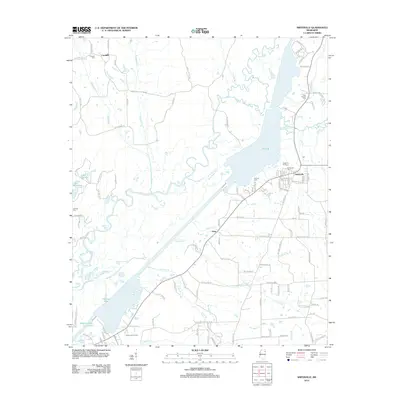
 1958 West Point1958 Print · USGSNortheastern Mississippi and western Alabama are shown in the late 1950s, highlighting a region defined by its river-and-rail economy. Researchers can trace family roots through numerous settlements like Artesia and Vardaman or explore the corridor of the Tombigbee River.
 - 1963 Map of West Point
 1963 West Point1963 Print · USGSEastern Mississippi and western Alabama are captured in the early sixties as industrial centers and rail lines connected the Black Prairie to the hills. Genealogists and historians can trace family-named watercourses and the early footprints of Starkville, Columbus, and the Noxubee National Wildlife Refuge.2 unique versions available
 - 1966 Map of Smithville, 1967 Print
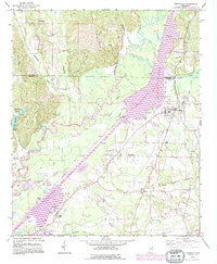
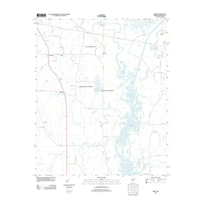
 1966 Smithville1967 Print · USGSMonroe and Itawamba counties appear here in the mid-1960s, a landscape defined by the winding Tombigbee River and historic land lines. Genealogists can locate family landmarks like Dunlap Cem, Bethel Ch, and the distinct paths of the Old Indian Boundary.2 unique versions available
 - 1966 Map of Amory, 1967 Print
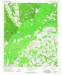
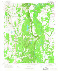
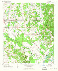
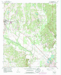
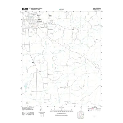
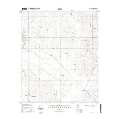
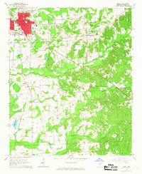 1966 Amory1967 Print · USGSAmory and its surrounding Monroe County hill country appear here during the mid-1960s, showing the intersection of rail-line industry and rural life. Researchers can trace family roots at numerous rural landmarks, including St Paul Ch, Camp Cem, and the Monroe County Airport.3 unique versions available
 - 1966 Map of Wren, 1967 Print
 1966 Wren1967 Print · USGSMonroe County was defined by its river-bottom industry and quiet rural settlements during the mid-1960s. Genealogists and historians can trace family roots through numerous sites like Grady's Chapel, Mound Cem, and the historic Indian Treaty Boundary.2 unique versions available
 - 1966 Map of Nettleton, 1967 Print
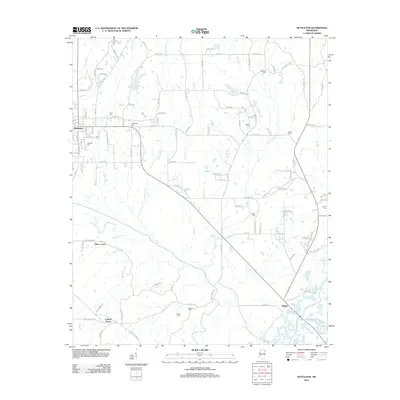
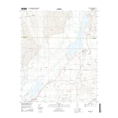
 1966 Nettleton1967 Print · USGSNettleton and the Lee-Monroe county line are shown here in the mid-1960s, prior to significant modern development along the river. Genealogists can trace family landmarks like Siloam Sch, Union View Ch, and cemeteries such as Williams Cem and Goodwin Cem.2 unique versions available
 - 1982 Map of West Point, 1983 Print
 1982 West Point1983 Print · USGSEastern Mississippi and western Alabama are captured in the early eighties as the river-and-rail economy evolved. Trace family roots and old township lines near West Point, Columbus Air Force Base, and the historic Natchez Trace Parkway.
 - 1984 Map of West Point
 1984 West Point1984 Print · USGSNorth-Central Mississippi in the mid-eighties shows a landscape defined by massive water management projects and dense timberlands. Researchers can trace the legacy of rural settlements like Geeslin Corner or the rail corridors of the Illinois Central Gulf RR near Grenada Lake.3 unique versions available
 - 1984 Map of Tupelo
 1984 Tupelo1984 Print · USGSNorth Mississippi in the 1980s is defined by its massive river basin reservoirs and the growing regional hubs of Tupelo and Oxford. Researchers can trace the legacy of the Pontotoc Ridge, find the University of Mississippi, and map early Interstate corridors near Sardis Lake.3 unique versions available
 - 1984 Map of Tupelo, 1985 Print
 1984 Tupelo1985 Print · USGSNortheast Mississippi and the Alabama borderlands are shown in the mid-1980s as timber and river networks shaped the region. Trace local history through the Illinois Central Gulf rail line and sites like the Old Natchez Trace Parkway.
 - 1992 Map of Nettleton, 1995 Print
 1992 Nettleton1995 Print · USGSNettleton and the surrounding Lee and Monroe county borderlands are shown here in the early nineties, during a period of industrial change. Genealogists can trace family names through numerous rural burial sites like Providence Cem and Goodwin Cem or locate old landmarks such as Jones Chapel Ch.
 - 1992 Map of Smithville, 1995 Print
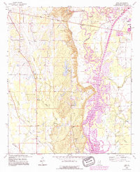
 1992 Smithville1995 Print · USGSMonroe and Itawamba counties appear here during the 1990s as the regional landscape was reshaped by the massive Tennessee-Tombigbee Waterway. Genealogists and historians can trace family sites at New Chapel Cem, Dunlap Cem, and Pooles Chapel near the community of Smithville.
 - 1992 Map of Wren, 1995 Print
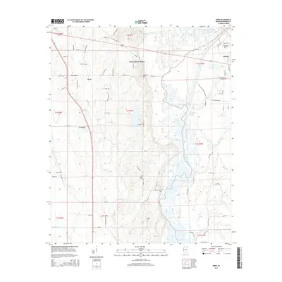
 1992 Wren1995 Print · USGSMonroe County life in the early nineties centers on the engineering of the Tennessee Tombigbee Waterway and the rural communities of Wren and New Wren. Trace family history through sites like Mound Cem, Mt Moriah Ch, and the Old Indian Treaty Boundary.
 - 1992 Map of Amory, 1995 Print
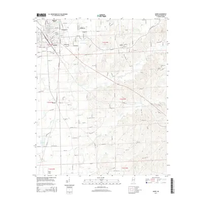
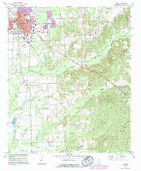 1992 Amory1995 Print · USGSAmory and its surrounding Monroe County hills appear here in the early nineties as a busy railroad and industrial hub. Genealogists and local historians can trace family locations near Greenbrier Cem, Hatley, and the rural Smith Chapel.
 - 2012 Map of Nettleton, 2012 Print
 2012 Nettleton2012 Print · USGSCovers Amory, including Nettleton, Bigbee, and other nearby areas
 - 2012 Map of Smithville, 2012 Print
 2012 Smithville2012 Print · USGSCovers Amory, including Smithville, Carolina, and other nearby areas
 - 2012 Map of Amory, 2012 Print
 2012 Amory2012 Print · USGSCovers Amory, including Hatley, Becker, and other nearby areas
 - 2012 Map of Wren, 2012 Print
 2012 Wren2012 Print · USGSCovers Amory, including Lake Monroe West Subdivision, Lake Monroe East Subdivision, and other nearby areas
 - 2015 Map of Nettleton, 2015 Print
 2015 Nettleton2015 Print · USGSCovers Amory, including Nettleton, Bigbee, and other nearby areas
 - 2015 Map of Smithville, 2015 Print
 2015 Smithville2015 Print · USGSCovers Amory, including Smithville, Carolina, and other nearby areas
 - 2015 Map of Amory, 2015 Print
 2015 Amory2015 Print · USGSCovers Amory, including Hatley, Becker, and other nearby areas
 - 2015 Map of Wren, 2015 Print
 2015 Wren2015 Print · USGSCovers Amory, including Lake Monroe West Subdivision, Lake Monroe East Subdivision, and other nearby areas
Showing maps 1-25 of 37
Top cities near Amory
- Tupelo historical maps
- Aberdeen historical maps
- Verona historical maps
- Nettleton historical maps
- Shannon historical maps
- Plantersville historical maps
See more
Top neighborhoods of Amory
- Carroll Subdivision historical maps
- Colonial Acres historical maps
- Easthaven historical maps
- Gardenspot Subdivision historical maps
- Glenwood historical maps
- Hedgemoor historical maps
See more
Frequently asked questions
- What are the different types of historical maps available for Amory?
- What is the oldest map of Amory?
- Where can I purchase historical maps of Amory for my home or office?
- Where can I download high-res historical maps of Amory?
- Are there historical topographic maps available for Amory?
- Is there historical aerial imagery available for Amory?
- Where are historical maps of Amory sourced from?