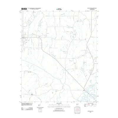
2012 Map of Nettleton
USGS Topo · Published 2012About this map
The town of Nettleton anchors the northwestern corner of this landscape, where the local road network radiates toward rural communities like Central Grove and Bigbee. The terrain is defined by a dense network of waterways, including Town Cr and the Tombigbee River, which shape the agricultural and drainage patterns of the region. Evidence of the area's long-standing rural settlements is found in the numerous family and community burial grounds scattered across the countryside, such as Providence Cem, Atkins Cem, and Hester Cem.
Find a feature on this map
120 named features on this map. Tap any name to fly to it.
Don’t see what you’re looking for? This feature index may not catch every label — zoom into the map to look around manually.
Map Details
Editions of this 2012 Nettleton Map
This is the sole edition of this map. No revisions or reprints were ever made.
Other maps of this area

1953 · West Point
USGS Topo · 1:250,000

1956 · Tupelo
USGS Topo · 1:250,000

1958 · Tupelo
USGS Topo · 1:250,000

1958 · West Point
USGS Topo · 1:250,000

1963 · West Point
USGS Topo · 1:250,000

1965 · Egypt
USGS Topo · 1:24,000

1966 · Smithville
USGS Topo · 1:24,000

1966 · Beans Ferry
USGS Topo · 1:24,000

1966 · Shannon
USGS Topo · 1:24,000

1966 · Amory
USGS Topo · 1:24,000