2020s Maps of Neshoba County, Mississippi
Explore 32 historic maps of Neshoba County from the 2020s. These maps offer a rare glimpse into what life looked like during the 2020s — showing old roads, neighborhoods, homes, and landmarks that have changed or disappeared over time.
Whether you're researching your family's past, planning a metal detecting trip, or studying how Neshoba County's landscape evolved across the 2020s, these high-resolution maps are a powerful tool for exploring the history of this region.
- Focus on a specific era: All maps on this page are from the 2020s, giving you a focused view of this time period.
- See what’s changed: Compare century-old streets, trails, and buildings to today's modern landscape using overlays and satellite layers.
- Research with precision: Use these maps for genealogy, historical research, land use analysis, or educational projects.
- View, download, or print: Maps are fully viewable online in high resolution, and can be downloaded or printed for your own records.
Start exploring Neshoba County's history through authentic maps from the 2020s. This is your window into the past.
Neshoba County, MS maps
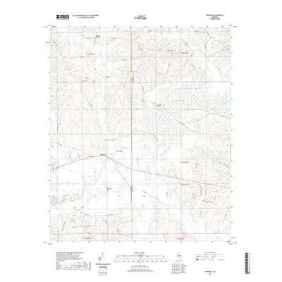
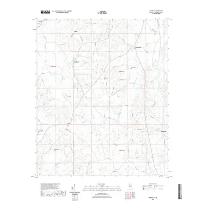
(32)- 2020 Map of Post, 2020 Print
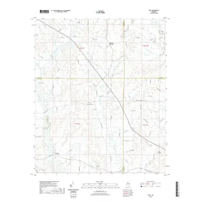 2020 Post2020 Print · USGSCovers Neshoba County, including Perdue, Herbert Springs, and other nearby areas
 - 2020 Map of House, 2020 Print
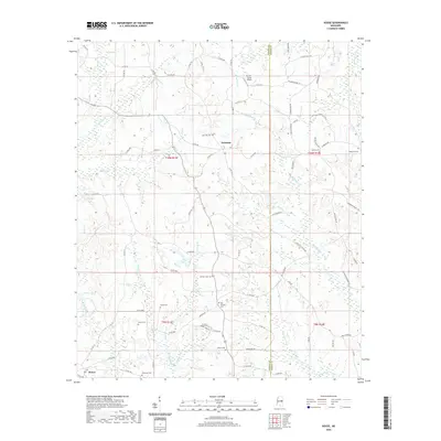 2020 House2020 Print · USGSCovers Neshoba County, including House, DeWeese, and other nearby areas
 - 2020 Map of Vernon, 2020 Print
 2020 Vernon2020 Print · USGSCovers Neshoba County, including Nanih Waiya, Prince Chapel, and other nearby areas
 - 2020 Map of Owl Creek, 2020 Print
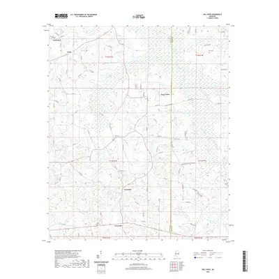 2020 Owl Creek2020 Print · USGSCovers Neshoba County, including Bogue Chitto, Bond, and other nearby areas
 - 2020 Map of Edinburg, 2020 Print
 2020 Edinburg2020 Print · USGSCovers Neshoba County, including Pearl River, Ebenezer, and other nearby areas
 - 2020 Map of Four Corners, 2020 Print
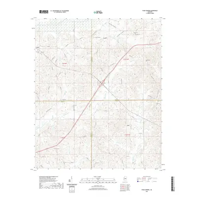 2020 Four Corners2020 Print · USGSCovers Neshoba County, including Vowell, Alice, and other nearby areas
 - 2020 Map of Plattsburg, 2020 Print
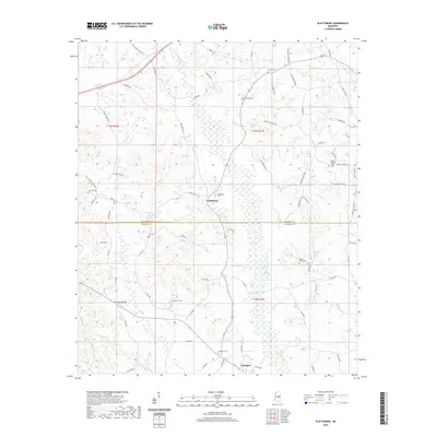 2020 Plattsburg2020 Print · USGSCovers Neshoba County, including Liberty, Plattsburg, and other nearby areas
 - 2020 Map of Pearl River, 2020 Print
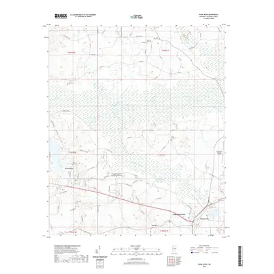 2020 Pearl River2020 Print · USGSCovers Neshoba County, including Philadelphia, Pearl River, and other nearby areas
 - 2020 Map of Sebastopol, 2020 Print
 2020 Sebastopol2020 Print · USGSCovers Neshoba County, including Kitchener, High Hill, and other nearby areas
 - 2020 Map of Deemer, 2020 Print
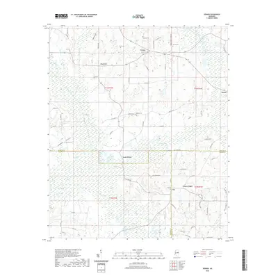
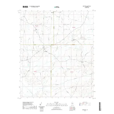
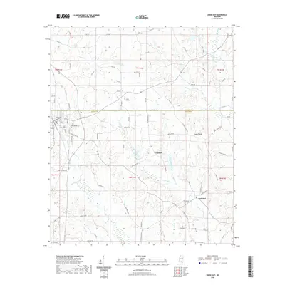
 2020 Deemer2020 Print · USGSCovers Neshoba County, including Philadelphia, Bethsaida, and other nearby areas
 - 2020 Map of Philadelphia, 2020 Print
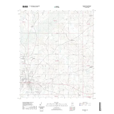 2020 Philadelphia2020 Print · USGSCovers Neshoba County, including Philadelphia, Burnside, and other nearby areas
 - 2020 Map of Union West, 2020 Print
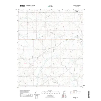 2020 Union West2020 Print · USGSCovers Neshoba County, including Union, Dover, and other nearby areas
 - 2020 Map of McDonald, 2020 Print
 2020 McDonald2020 Print · USGSCovers Neshoba County, including Pearl River, McDonald, and other nearby areas
 - 2020 Map of Noxapater, 2020 Print
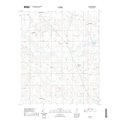
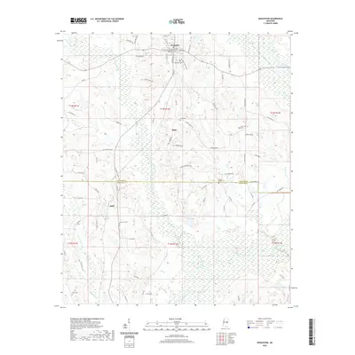 2020 Noxapater2020 Print · USGSCovers Neshoba County, including Noxapater, Hight, and other nearby areas
 - 2020 Map of Union East, 2020 Print
 2020 Union East2020 Print · USGSCovers Neshoba County, including Union, Rock Branch, and other nearby areas
 - 2020 Map of Madden, 2020 Print
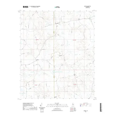 2020 Madden2020 Print · USGSCovers Neshoba County, including Laurel Hill, Dowdville, and other nearby areas
 - 2024 Map of Vernon, 2024 Print
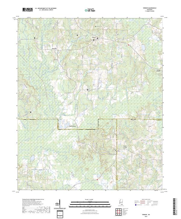 2024 Vernon2024 Print · USGSWinston and Neshoba counties meet in this detailed survey of the rural South during the early twenty-first century. Researchers can trace family history through numerous burial sites like Fulton Cem and explore the historic area surrounding Nanih Waiya.
 - 2024 Map of House, 2024 Print
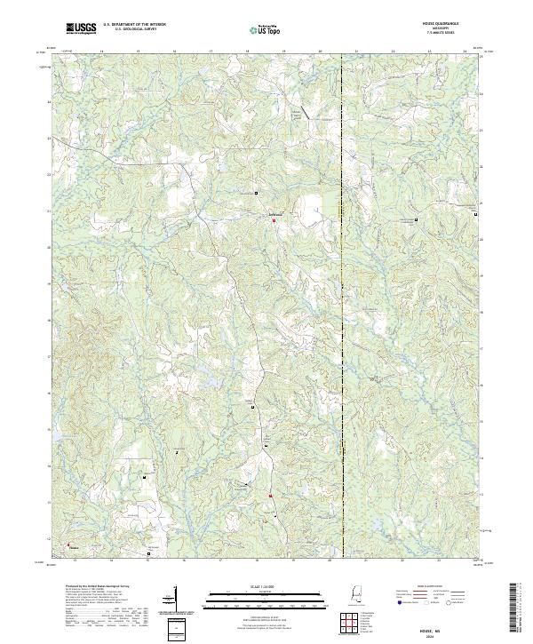 2024 House2024 Print · USGSNeshoba and Kemper Counties are shown here in the 2020s, a rural landscape defined by creek branches and deep-rooted family communities. Genealogists can trace local history through numerous sites like Hesters Chapel Cemetery and McDonald Cemetery near House.
 - 2024 Map of Noxapater, 2024 Print
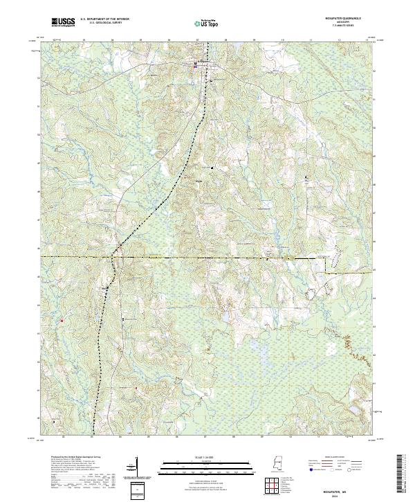 2024 Noxapater2024 Print · USGSThe Winston and Neshoba County line is explored in this recent study of the Noxapater area. Researchers can trace local lineage through numerous sites like Mount Ary Cem, Stallo, and the waters of the Pearl River.
 - 2024 Map of Madden, 2024 Print
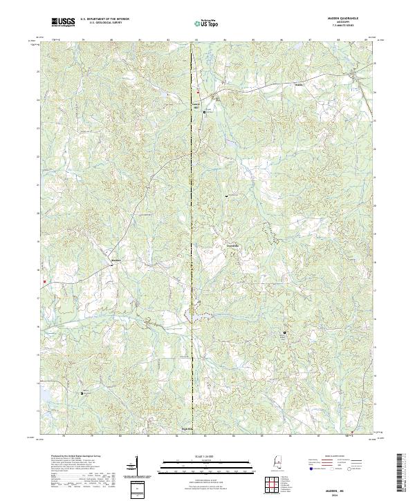 2024 Madden2024 Print · USGSThe Mississippi borderlands of Leake and Neshoba counties appear as a network of creek-fed valleys and small hamlets. Researchers can trace family ties at Mount Zion Cem and navigate the roads connecting Madden to Waldo and High Hill.
 - 2024 Map of Sebastopol, 2024 Print
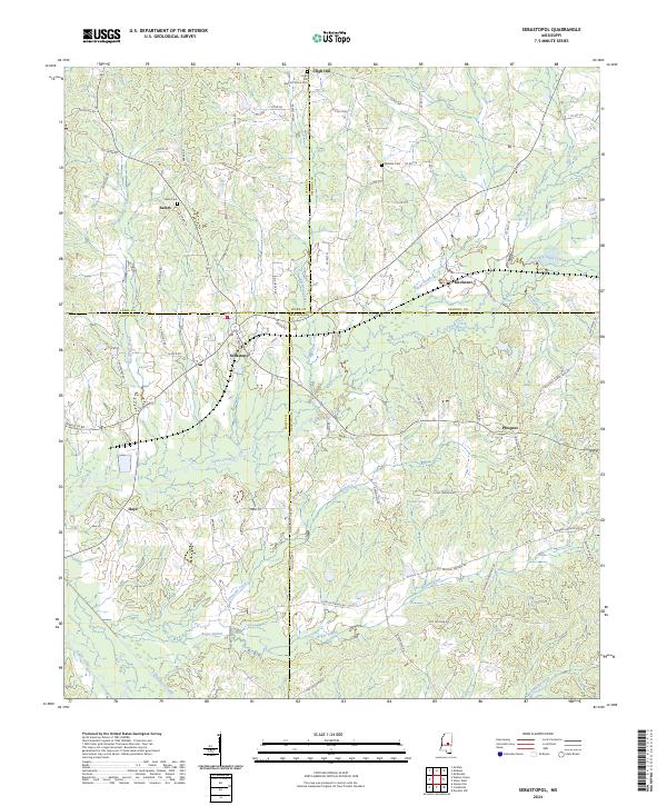 2024 Sebastopol2024 Print · USGSSpanning the meeting point of four Mississippi counties, this modern survey documents the rural communities and watersheds of the central interior. Trace local family roots at High Hill Baptist Church Cem or the settlements of Kitchener and Sebastopol.
 - 2024 Map of Owl Creek, 2024 Print
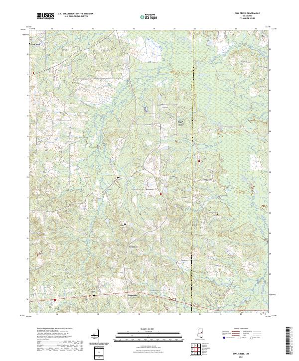 2024 Owl Creek2024 Print · USGSNeshoba and Kemper counties are mapped here in the mid-2020s, showing a rural landscape defined by the winding Bogue Chitto and its many tributaries. Genealogists and local historians can trace family roots through several landmarks including Mount Nelson Cem, Long Cem, and the settlement at Forestdale.
 - 2024 Map of Union East, 2024 Print
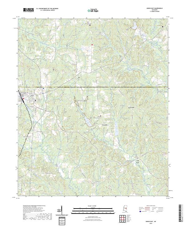 2024 Union East2024 Print · USGSThe borderlands of Neshoba and Newton Counties are revealed here in the early twenty-first century, centered on the town of Union. Researchers can trace local lineage through several rural burial grounds, including Pine Grove Cem and the Greenland Baptist Church Cem.
 - 2024 Map of Post, 2024 Print
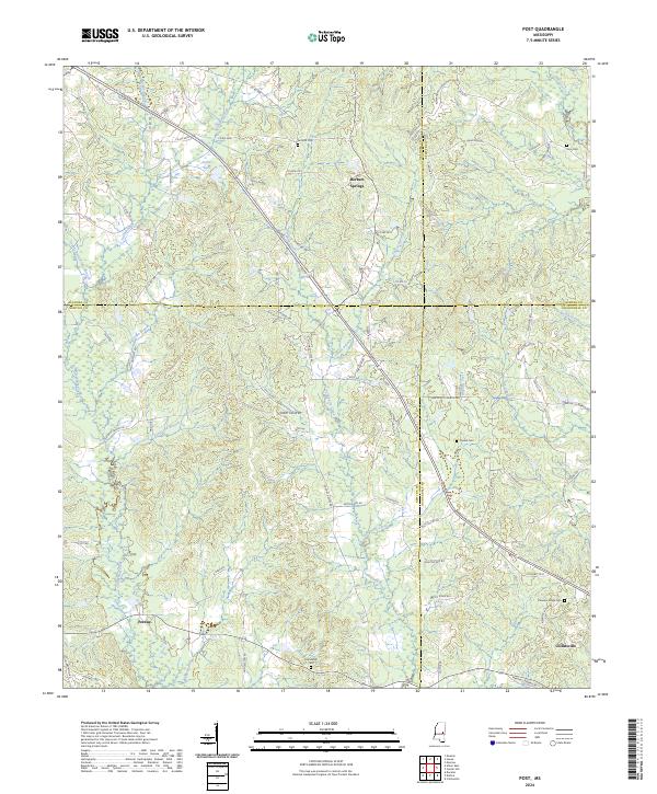 2024 Post2024 Print · USGSThe intersection of four Mississippi counties comes alive in this recent survey of the rural landscape around Herbert Springs. Genealogists and local historians can trace family locations through numerous sites like Antioch Cem, Trussel Cem, and the roads surrounding Perdue.
 - 2024 Map of Plattsburg, 2024 Print
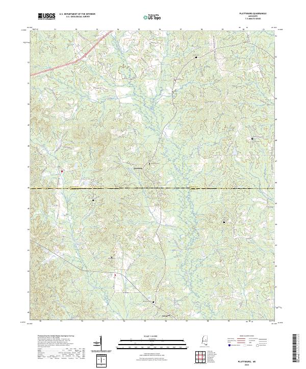 2024 Plattsburg2024 Print · USGSThe Winston and Neshoba county line comes alive in this recent survey of the rural Mississippi interior. Genealogists and local historians can trace family land via Plattsburg Cem, Arlington, and dozens of family-named routes like Mary Cole Rd.
Showing maps 1-25 of 32
Top cities of Neshoba County
Frequently asked questions
- What are the different types of historical maps available for Neshoba County?
- What is the oldest map of Neshoba County?
- Where can I purchase historical maps of Neshoba County for my home or office?
- Where can I download high-res historical maps of Neshoba County?
- Are there historical topographic maps available for Neshoba County?
- Is there historical aerial imagery available for Neshoba County?
- Where are historical maps of Neshoba County sourced from?