Old Maps of Neshoba County, Mississippi for Academic Research
Study the evolution of Neshoba County with 103 high-resolution historic maps. Whether you're teaching, researching, or modeling changes in land use, these maps provide essential visual documentation of urban, environmental, and geographic change.
- Analyze long-term change: Track patterns in development, transportation, and natural features.
- Ideal for environmental or urban studies: Support academic projects with primary historical map data.
- Use in the classroom or lab: Educators and researchers rely on these maps to bring historical context to life.
These maps are a powerful tool for teaching, research, and visualizing how Neshoba County has changed over the decades.
Neshoba County, MS maps
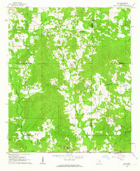
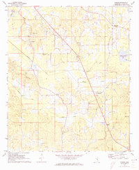
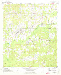
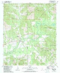
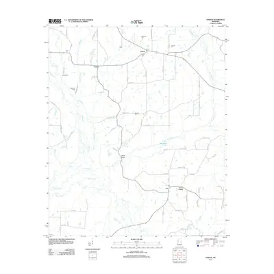
(103)- 1953 Map of Meridian, 1966 Print
 1953 Meridian1966 Print · USGSEast Central Mississippi and the Alabama borderlands are captured here during a period of steady growth and infrastructure expansion. Genealogists and historians can trace rail-town development along the Gulf Mobile & Ohio Railroad and find early settlements like Scooba, Pelahatchie, and De Kalb.2 unique versions available
 - 1957 Map of Meridian
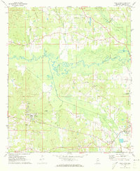
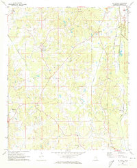
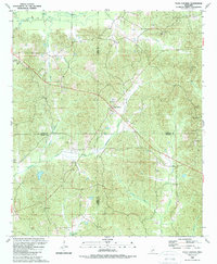
 1957 Meridian1957 Print · USGSEast Central Mississippi and parts of Western Alabama come alive in the mid-1950s, centered on the transit hub of Meridian. Researchers can trace old rail lines like the Illinois Central and find historic sites such as the Choctaw Indian Reservation and Roosevelt State Park.
 - 1962 Map of House, 1963 Print
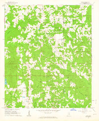 1962 House1963 Print · USGSThe rural communities along the Neshoba and Kemper county line are captured here in the early sixties, showing a landscape of small farms and crossroads parishes. Genealogists can locate family landmarks like Wilson Cem, McDonald Cem, and the East Neshoba Sch.3 unique versions available
 - 1962 Map of Vernon, 1963 Print
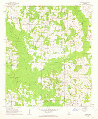 1962 Vernon1963 Print · USGSWinston and Neshoba Counties are captured in the early sixties, centered on rural communities and the significant Nanih Waiya Indian Mound. Researchers can trace local lineage through sites like Fulton Cem, Enon Ch, and Claytown.3 unique versions available
 - 1962 Map of Owl Creek, 1963 Print
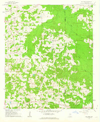 1962 Owl Creek1963 Print · USGSNeshoba and Kemper counties appear in the early 1960s as a landscape of rural schoolhouses and family cemeteries. Genealogists can locate Bogue Chitto Indian Sch, Sandtown Lookout Tower, and Cooks Chapel.2 unique versions available
 - 1962 Map of Edinburg, 1964 Print
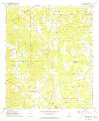
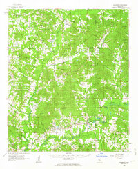 1962 Edinburg1964 Print · USGSCentral Mississippi's rural river country comes to life in the early sixties, showing the intersection of four counties along the Pearl River. Genealogists can trace family roots through numerous sites like Battleground Cemetery, Coughlin Mound, and the settlement at Edinburg.
 - 1962 Map of Post, 1964 Print
 1962 Post1964 Print · USGSFour Mississippi counties meet in this early 1960s survey, showing a rural landscape tied together by local churches and the railroad. Genealogists and researchers can trace family landmarks like Trussel Cem, Antioch Ch, and the rail stop at Perdue.2 unique versions available
 - 1965 Map of Meridian
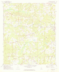
 1965 Meridian1965 Print · USGSEast Mississippi and West Alabama are mapped here in the mid-sixties as the region's modern highway and reservoir systems began to take shape. Researchers can trace rural lineages through local landmarks like Prince Chapel and Tuscahoma Landing, or follow the historic Gulf Mobile & Ohio rail lines.
 - 1972 Map of Pearl River, 1973 Print
 1972 Pearl River1973 Print · USGSThe Pearl River community and the outskirts of Philadelphia appear here in the early seventies, showing a landscape of tribal administration and rural industry. Genealogists and local historians can locate the Tribal Office, Choctaw Youth Center, and Old Pearl Valley Ch.2 unique versions available
 - 1972 Map of Plattsburg, 1973 Print
 1972 Plattsburg1973 Print · USGSThe Winston and Neshoba county line divides this Mississippi landscape in the early seventies, a region of family farms and creek bottoms. Genealogists can trace local heritage through numerous landmarks like Indian Spring Ch, Lee Cem, and Plattsburg.
 - 1972 Map of Noxapater, 1973 Print
 1972 Noxapater1973 Print · USGSWinston County's timber and rail landscape is well-preserved here in the early seventies, centered on the town of Noxapater. Genealogists and historians can trace local landmarks like Stallo, the Gulf Mobile and Ohio railroad, and country churches like Salem Ch.
 - 1972 Map of Deemer, 1973 Print
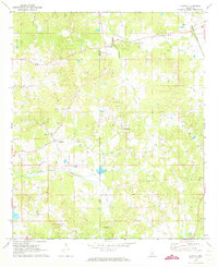
 1972 Deemer1973 Print · USGSNeshoba County's rural landscape is captured here in the early seventies, showing a network of small communities and canal-drained bottomlands. Researchers can locate family landmarks such as Spring Hill Cem, Tucker, and the Mt Olive Ch along the Beatline road.2 unique versions available
 - 1972 Map of Union East, 1973 Print
 1972 Union East1973 Print · USGSNewton and Neshoba counties in the early seventies reveal a rural landscape connected by the Gulf Mobile and Ohio rail line. Researchers can trace local family roots at Sunny Hill Cem or find old community centers like Beulah-Hubbard Sch and Rock Branch Ch.2 unique versions available
 - 1972 Map of Philadelphia, 1973 Print
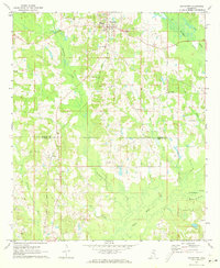
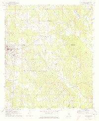
 1972 Philadelphia1973 Print · USGSThe Neshoba County seat and surrounding timberlands are captured in the early 1970s, as Philadelphia expanded along the Gulf Mobile and Ohio Railroad. Genealogists can trace family names at Donald Cem, Cedarlawn Cem, and rural sites like Longino Ch.2 unique versions available
 - 1972 Map of Madden, 1973 Print
 1972 Madden1973 Print · USGSAcross the border of Leake and Neshoba counties in the early seventies, this rural landscape reveals a community built around small-town centers and country churches. Genealogists can trace family roots through several landmarks like Leake Academy, Mt Bethany Ch, and the Carolina Cem.
 - 1972 Map of Sebastopol, 1973 Print
 1972 Sebastopol1973 Print · USGSThe intersection of four counties in central Mississippi comes alive in the early seventies, centered on the railroad town of Sebastopol. Genealogists and historians can trace the locations of rural landmarks like Steam Mill, Milldale Cem, and Hays.
 - 1972 Map of McDonald, 1973 Print
 1972 McDonald1973 Print · USGSNeshoba County's rural heartland is captured in the early 1970s, showing a landscape of small farming communities and canal networks. Genealogists can locate family landmarks like Morrow Memorial Cem, Bluff Springs Ch, and the settlement of Dixon.2 unique versions available
 - 1972 Map of Union West, 1973 Print
 1972 Union West1973 Print · USGSNewton and Neshoba counties appear here in the early 1970s, as rural communities thrived along the Gulf Mobile and Ohio rail line. Genealogists can trace family roots through several local landmarks like Hudsons Chapel Cemetery, Evans Tabernacle, and Spring Hill Ch.2 unique versions available
 - 1984 Map of Carthage
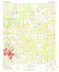
 1984 Carthage1984 Print · USGSLeake and Neshoba counties in the mid-1980s showcase a transition from the Government Hills to the dense Bienville National Forest. Genealogists and researchers can trace the historic Natchez Trace Parkway and local settlements like Plattsburg and Williamsville.
 - 1984 Map of De Kalb
 1984 De Kalb1984 Print · USGSThe Mississippi-Alabama borderlands come into focus in the 1980s, where the river-and-rail economy meets military and tribal lands. Researchers can trace rural lineages across the Choctaw Indian Reservation or through the rail towns of Scooba and De Kalb.2 unique versions available
 - 1989 Map of Edinburg
 1989 Edinburg1989 Print · USGSThe Pearl River valley in the late eighties reveals a landscape of Choctaw lands and rural communities along the Leake and Neshoba county line. Genealogists and local historians can trace numerous landmarks including Edinburg High Sch, Mars Hill Ch, and the Bethany Cem.
 - 1989 Map of Four Corners
 1989 Four Corners1989 Print · USGSThe crossroads at Four Corners and Zama in the late eighties reveal a landscape deeply rooted in the intersection of four Mississippi counties. Genealogists and local historians can trace family roots at New Ebenezer Ch, Sullivan Cem, and the Mars Hill Lookout.
 - 1994 Map of Carthage
 1994 Carthage1994 Print · USGSCentral Mississippi in the mid-nineties is a region of dense river bottoms and historic travel ways. Genealogists can trace family names and small-town roots across the Choctaw Indian Reservation or follow the path of the Natchez Trace Parkway past Carthage and Walnut Grove.
 - 2012 Map of Post, 2012 Print
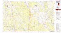
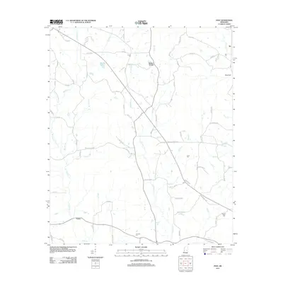 2012 Post2012 Print · USGSCovers Neshoba County, including Perdue, Herbert Springs, and other nearby areas
 - 2012 Map of Vernon, 2012 Print
 2012 Vernon2012 Print · USGSCovers Neshoba County, including Nanih Waiya, Prince Chapel, and other nearby areas
Showing maps 1-25 of 103
Top cities of Neshoba County
Frequently asked questions
- What are the different types of historical maps available for Neshoba County?
- What is the oldest map of Neshoba County?
- Where can I purchase historical maps of Neshoba County for my home or office?
- Where can I download high-res historical maps of Neshoba County?
- Are there historical topographic maps available for Neshoba County?
- Is there historical aerial imagery available for Neshoba County?
- Where are historical maps of Neshoba County sourced from?