2000s (21st Century) Maps of Neshoba County, Mississippi
Explore 80 historic maps of Neshoba County from the 2000s (21st Century). These maps offer a rare glimpse into what life looked like during the 2000s — showing old roads, neighborhoods, homes, and landmarks that have changed or disappeared over time.
Whether you're researching your family's past, planning a metal detecting trip, or studying how Neshoba County's landscape evolved across the 2000s, these high-resolution maps are a powerful tool for exploring the history of this region.
- Focus on a specific era: All maps on this page are from the 2000s, giving you a focused view of this time period.
- See what’s changed: Compare century-old streets, trails, and buildings to today's modern landscape using overlays and satellite layers.
- Research with precision: Use these maps for genealogy, historical research, land use analysis, or educational projects.
- View, download, or print: Maps are fully viewable online in high resolution, and can be downloaded or printed for your own records.
Start exploring Neshoba County's history through authentic maps from the 2000s. This is your window into the past.
Neshoba County, MS maps
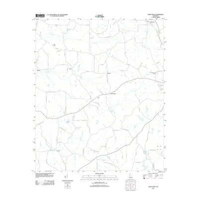
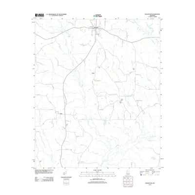
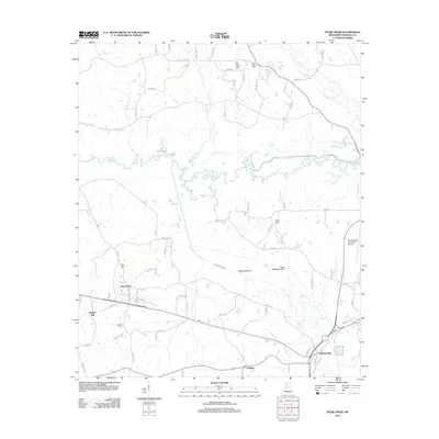
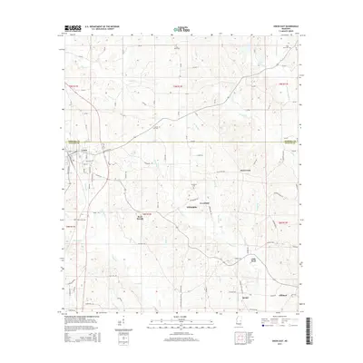
(80)- 2012 Map of Post, 2012 Print
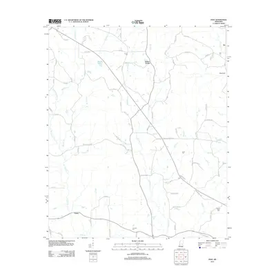 2012 Post2012 Print · USGSCovers Neshoba County, including Perdue, Herbert Springs, and other nearby areas
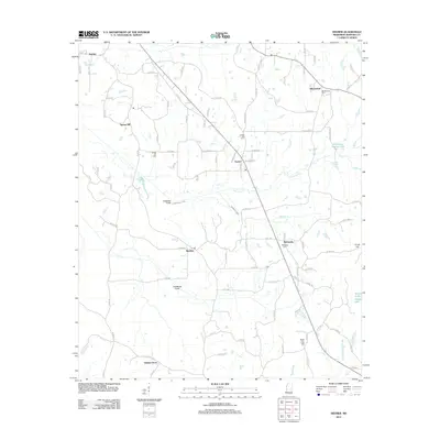
 - 2012 Map of Vernon, 2012 Print
 2012 Vernon2012 Print · USGSCovers Neshoba County, including Nanih Waiya, Prince Chapel, and other nearby areas
 - 2012 Map of House, 2012 Print
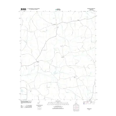
 2012 House2012 Print · USGSCovers Neshoba County, including House, DeWeese, and other nearby areas
 - 2012 Map of Owl Creek, 2012 Print
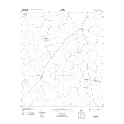
 2012 Owl Creek2012 Print · USGSCovers Neshoba County, including Bogue Chitto, Bond, and other nearby areas
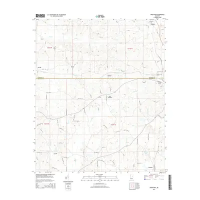
 - 2012 Map of Union West, 2012 Print
 2012 Union West2012 Print · USGSCovers Neshoba County, including Union, Dover, and other nearby areas
 - 2012 Map of Deemer, 2012 Print
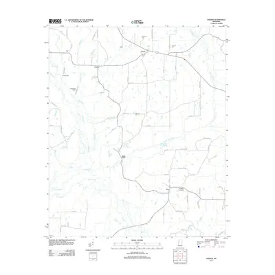
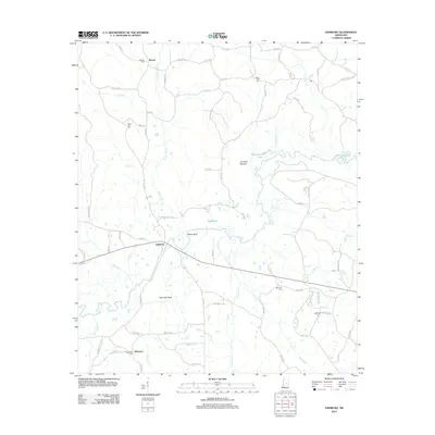
 2012 Deemer2012 Print · USGSCovers Neshoba County, including Philadelphia, Bethsaida, and other nearby areas
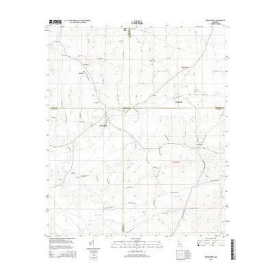
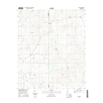
 - 2012 Map of Madden, 2012 Print
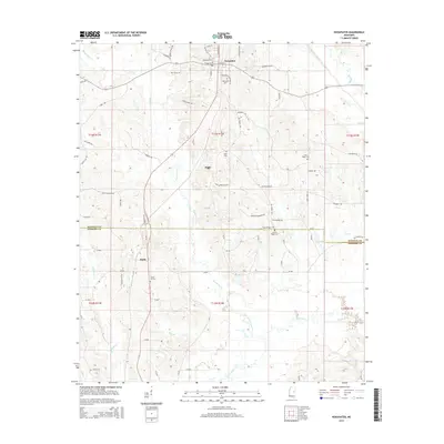
 2012 Madden2012 Print · USGSCovers Neshoba County, including Laurel Hill, Dowdville, and other nearby areas
 - 2012 Map of McDonald, 2012 Print
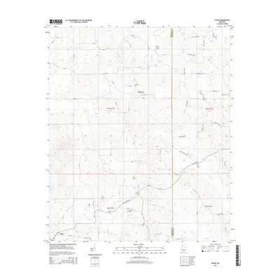
 2012 McDonald2012 Print · USGSCovers Neshoba County, including Pearl River, McDonald, and other nearby areas
 - 2012 Map of Noxapater, 2012 Print
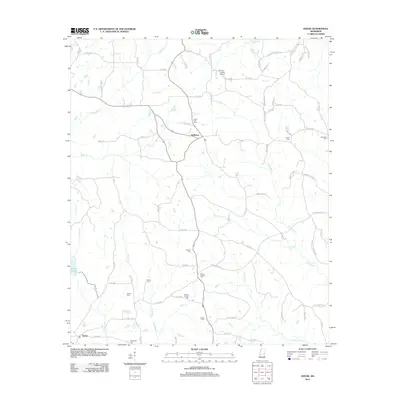
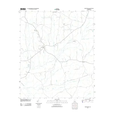
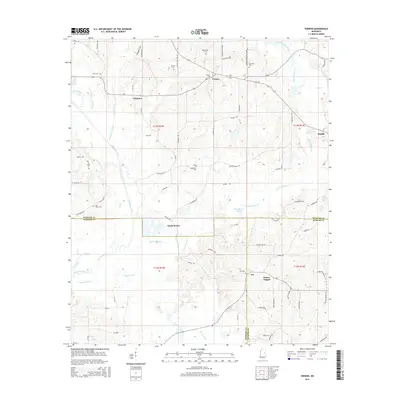
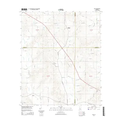
 2012 Noxapater2012 Print · USGSCovers Neshoba County, including Noxapater, Hight, and other nearby areas
 - 2012 Map of Edinburg, 2012 Print
 2012 Edinburg2012 Print · USGSCovers Neshoba County, including Pearl River, Ebenezer, and other nearby areas
 - 2012 Map of Sebastopol, 2012 Print
 2012 Sebastopol2012 Print · USGSCovers Neshoba County, including Kitchener, High Hill, and other nearby areas
 - 2012 Map of Philadelphia, 2012 Print
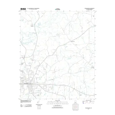 2012 Philadelphia2012 Print · USGSCovers Neshoba County, including Philadelphia, Burnside, and other nearby areas
 - 2012 Map of Union East, 2012 Print
 2012 Union East2012 Print · USGSCovers Neshoba County, including Union, Rock Branch, and other nearby areas
 - 2012 Map of Pearl River, 2012 Print
 2012 Pearl River2012 Print · USGSCovers Neshoba County, including Philadelphia, Pearl River, and other nearby areas
 - 2012 Map of Plattsburg, 2012 Print
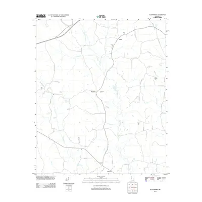 2012 Plattsburg2012 Print · USGSCovers Neshoba County, including Liberty, Plattsburg, and other nearby areas
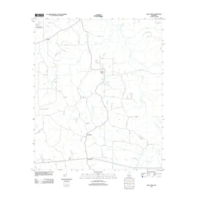
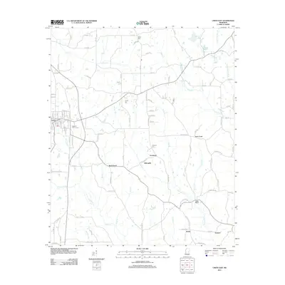
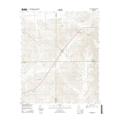
 - 2012 Map of Four Corners, 2012 Print
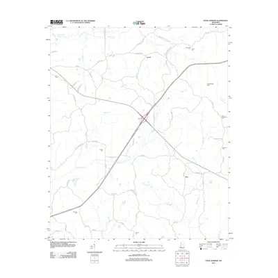 2012 Four Corners2012 Print · USGSCovers Neshoba County, including Vowell, Alice, and other nearby areas
 - 2015 Map of Vernon, 2015 Print
 2015 Vernon2015 Print · USGSCovers Neshoba County, including Nanih Waiya, Prince Chapel, and other nearby areas
 - 2015 Map of Post, 2015 Print
 2015 Post2015 Print · USGSCovers Neshoba County, including Perdue, Herbert Springs, and other nearby areas
 - 2015 Map of House, 2015 Print
 2015 House2015 Print · USGSCovers Neshoba County, including House, DeWeese, and other nearby areas
 - 2015 Map of Noxapater, 2015 Print
 2015 Noxapater2015 Print · USGSCovers Neshoba County, including Noxapater, Hight, and other nearby areas
 - 2015 Map of Union East, 2015 Print
 2015 Union East2015 Print · USGSCovers Neshoba County, including Union, Rock Branch, and other nearby areas
 - 2015 Map of Four Corners, 2015 Print
 2015 Four Corners2015 Print · USGSCovers Neshoba County, including Vowell, Alice, and other nearby areas
 - 2015 Map of Sebastopol, 2015 Print
 2015 Sebastopol2015 Print · USGSCovers Neshoba County, including Kitchener, High Hill, and other nearby areas
 - 2015 Map of Union West, 2015 Print
 2015 Union West2015 Print · USGSCovers Neshoba County, including Union, Dover, and other nearby areas
 - 2015 Map of Madden, 2015 Print
 2015 Madden2015 Print · USGSCovers Neshoba County, including Laurel Hill, Dowdville, and other nearby areas
Showing maps 1-25 of 80
Top cities of Neshoba County
Frequently asked questions
- What are the different types of historical maps available for Neshoba County?
- What is the oldest map of Neshoba County?
- Where can I purchase historical maps of Neshoba County for my home or office?
- Where can I download high-res historical maps of Neshoba County?
- Are there historical topographic maps available for Neshoba County?
- Is there historical aerial imagery available for Neshoba County?
- Where are historical maps of Neshoba County sourced from?