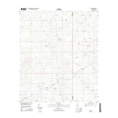
2015 Map of House
USGS Topo · Published 2015About this map
DeWeese and the settlement of House anchor this rural landscape along the border of Neshoba and Kemper counties. The region is defined by a dense network of watercourses, including the southward-flowing Okatibbee Cr and the upper reaches of Bogue Chitto. A strong genealogical record is preserved through numerous family and community burial grounds, such as Hesters Chapel Cem, Old Herbert Cem, and McDonald Cem. The Old Jackson Rd serves as a primary east-west corridor, cutting through the terrain near the small landing strip at Mc Lain - Calico Airport. This mapping illustrates a persistent pattern of small-scale settlement where modern infrastructure like MS-486 and MS-491 follows the established paths of older county roads and creek valleys.
Find a feature on this map
85 named features on this map. Tap any name to fly to it.
Don’t see what you’re looking for? This feature index may not catch every label — zoom into the map to look around manually.
Map Details
Editions of this 2015 House Map
This is the sole edition of this map. No revisions or reprints were ever made.
Other maps of this area

1953 · Meridian
USGS Topo · 1:250,000

1957 · Meridian
USGS Topo · 1:250,000

1962 · House
USGS Topo · 1:24,000

1962 · Lynville
USGS Topo · 1:24,000

1962 · Owl Creek
USGS Topo · 1:24,000

1962 · Center Hill
USGS Topo · 1:24,000

1962 · Post
USGS Topo · 1:24,000

1962 · Moscow
USGS Topo · 1:24,000

1965 · Meridian
USGS Topo · 1:250,000

1972 · Deemer
USGS Topo · 1:24,000