
1962 Map of Moscow
USGS Topo · Published 1964About this map
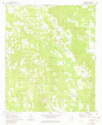
Moscow and its surrounding countryside in Kemper County are defined by a network of rural congregations and family cemeteries that anchored the community in the early 1960s. The landscape is characterized by the headwaters of numerous waterways, including Chickasawhay Creek and Tallachula Creek, which carve through the terrain. Evidence of local civic life is visible at the Little Rock Sch and various houses of worship like West Kemper Ch and Unity Springs Ch.
Find a feature on this map
32 named features on this map. Tap any name to fly to it.
Don’t see what you’re looking for? This feature index may not catch every label — zoom into the map to look around manually.
Map Details
Editions of this 1962 Moscow Map
4 editions found
Other maps of this area

1953 · Meridian
USGS Topo · 1:250,000

1957 · Meridian
USGS Topo · 1:250,000

1962 · House
USGS Topo · 1:24,000

1962 · Lynville
USGS Topo · 1:24,000

1962 · Daleville
USGS Topo · 1:24,000

1962 · Owl Creek
USGS Topo · 1:24,000

1962 · Lauderdale NW
USGS Topo · 1:24,000

1962 · Center Hill
USGS Topo · 1:24,000

1962 · Post
USGS Topo · 1:24,000

1963 · De Kalb
USGS Topo · 1:24,000