
1962 Map of Lynville
USGS Topo · Published 1963About this map
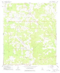
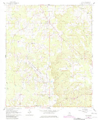
The Naval Auxiliary Air Station Bravo Field dominates the central landscape of this rural Kemper County survey, its diagonal runway cutting a clear swath through the wooded hills. This military presence sits alongside established local communities like Lynville and Kellis Store, where life remained centered around a dense network of country churches including Clarks Chapel, Bethlehem Ch, and Smyrna Ch. The terrain is deeply etched by a complex drainage system, most notably the winding Bogue Chitto Land Creek and Bendix Creek, which defined the agricultural boundaries and field lines visible from 1950s aerial photography. Small-scale industrial activity is evidenced by a Sandpit north of the airfield, while family history is rooted at sites like the Chamberlin Cem and Smith Cem, preserving the names of the families who settled this intersection of the Mississippi hill country.
Find a feature on this map
23 named features on this map. Tap any name to fly to it.
Don’t see what you’re looking for? This feature index may not catch every label — zoom into the map to look around manually.
Map Details
Editions of this 1962 Lynville Map
3 editions found
Other maps of this area

1953 · Meridian
USGS Topo · 1:250,000

1957 · Meridian
USGS Topo · 1:250,000

1962 · House
USGS Topo · 1:24,000

1962 · Vernon
USGS Topo · 1:24,000

1962 · Owl Creek
USGS Topo · 1:24,000

1962 · Lauderdale NW
USGS Topo · 1:24,000

1962 · Preston
USGS Topo · 1:24,000

1962 · Moscow
USGS Topo · 1:24,000

1963 · De Kalb
USGS Topo · 1:24,000

1963 · Gholson
USGS Topo · 1:24,000