
1963 Map of De Kalb
USGS Topo · Published 1964About this map
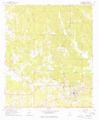
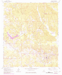
De Kalb serves as the central hub of this Mississippi landscape, where local life centered around rural churches and small-scale industry in the early 1960s. The map reveals a community structured by faith and family history, evidenced by Bloomfield Ch and its Bloomfield Ch Cem, alongside Jerusalem Ch and the McRae Cem. The local economy of the time is visible through features like Sciple Mill on Indian Branch and a scattering of gravel pits. The transport network shows signs of change, most notably the Old Railroad Grade running through the southeastern portion near Snoody Creek. Numerous watercourses, including the Sucarnoochee Creek and Running Tiger Creek, carve through the terrain, punctuated by landmarks such as Bateman Lake and the Spring Hill Ch which anchor the surrounding homesteads and woodlands.
Find a feature on this map
27 named features on this map. Tap any name to fly to it.
Don’t see what you’re looking for? This feature index may not catch every label — zoom into the map to look around manually.
Map Details
Editions of this 1963 De Kalb Map
3 editions found
Other maps of this area

1953 · Meridian
USGS Topo · 1:250,000

1957 · Meridian
USGS Topo · 1:250,000

1962 · Lynville
USGS Topo · 1:24,000

1962 · Lauderdale NW
USGS Topo · 1:24,000

1962 · Preston
USGS Topo · 1:24,000

1962 · Oak Grove
USGS Topo · 1:24,000

1962 · Moscow
USGS Topo · 1:24,000

1962 · Shuqualak
USGS Topo · 1:24,000

1963 · Townsend
USGS Topo · 1:24,000

1963 · Gholson
USGS Topo · 1:24,000