2020s Maps of Oktibbeha County, Mississippi
Explore 24 historic maps of Oktibbeha County from the 2020s. These maps offer a rare glimpse into what life looked like during the 2020s — showing old roads, neighborhoods, homes, and landmarks that have changed or disappeared over time.
Whether you're researching your family's past, planning a metal detecting trip, or studying how Oktibbeha County's landscape evolved across the 2020s, these high-resolution maps are a powerful tool for exploring the history of this region.
- Focus on a specific era: All maps on this page are from the 2020s, giving you a focused view of this time period.
- See what’s changed: Compare century-old streets, trails, and buildings to today's modern landscape using overlays and satellite layers.
- Research with precision: Use these maps for genealogy, historical research, land use analysis, or educational projects.
- View, download, or print: Maps are fully viewable online in high resolution, and can be downloaded or printed for your own records.
Start exploring Oktibbeha County's history through authentic maps from the 2020s. This is your window into the past.
Oktibbeha County, MS maps
(24)- 2020 Map of Pheba, 2020 Print
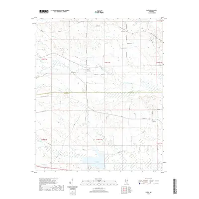 2020 Pheba2020 Print · USGSCovers Oktibbeha County, including Bells, Waterfront Estates, and other nearby areas
 - 2020 Map of Double Springs, 2020 Print
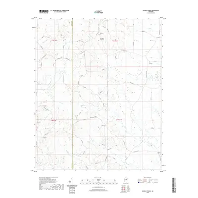 2020 Double Springs2020 Print · USGSCovers Oktibbeha County, including Pleasant Ridge, Self Creek, and other nearby areas
 - 2020 Map of Maben, 2020 Print
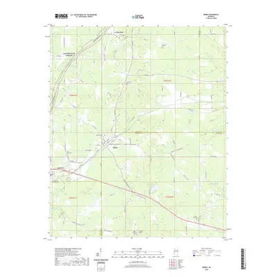 2020 Maben2020 Print · USGSCovers Oktibbeha County, including Center Grove, Spring Valley, and other nearby areas
 - 2020 Map of Crawford West, 2020 Print
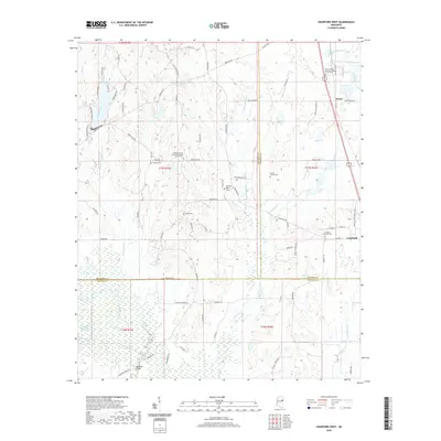 2020 Crawford West2020 Print · USGSCovers Oktibbeha County, including Crawford, Penns, and other nearby areas
 - 2020 Map of Longview, 2020 Print
 2020 Longview2020 Print · USGSCovers Oktibbeha County, including Starkville, Westland Heights, and other nearby areas
 - 2020 Map of Artesia, 2020 Print
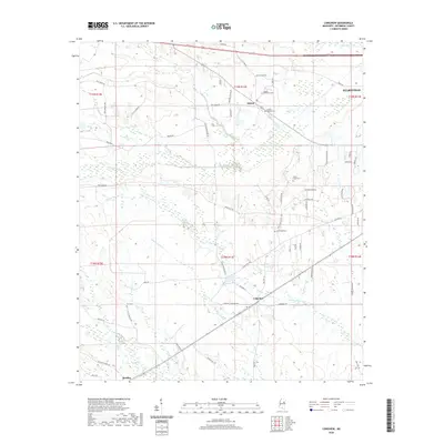
 2020 Artesia2020 Print · USGSCovers Oktibbeha County, including Artesia, Hickory Grove Estates, and other nearby areas
 - 2020 Map of Cedar Bluff, 2020 Print
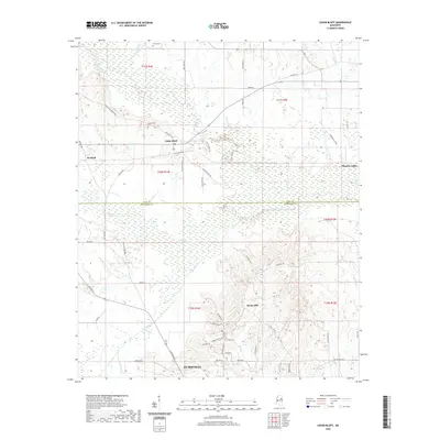 2020 Cedar Bluff2020 Print · USGSCovers Oktibbeha County, including Starkville, Rocky Hill, and other nearby areas
 - 2020 Map of West Point, 2020 Print
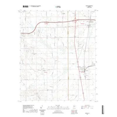
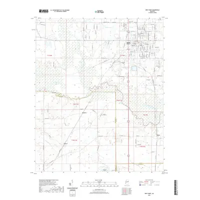 2020 West Point2020 Print · USGSCovers Oktibbeha County, including West Point, Osborn, and other nearby areas
 - 2020 Map of Starkville, 2020 Print
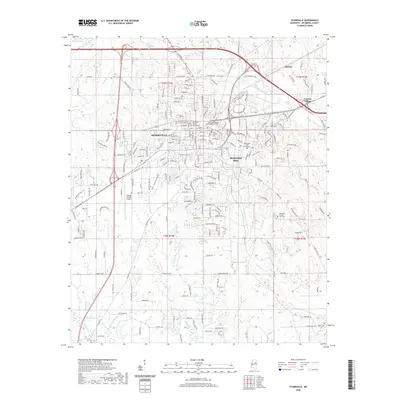 2020 Starkville2020 Print · USGSCovers Oktibbeha County, including Starkville, Deerfield, and other nearby areas
 - 2021 Map of Bluff Lake, 2021 Print
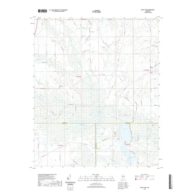 2021 Bluff Lake2021 Print · USGSCovers Oktibbeha County, including Winston, Oktoc, and other nearby areas
 - 2021 Map of Bradley, 2021 Print
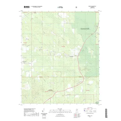 2021 Bradley2021 Print · USGSCovers Oktibbeha County, including Morgantown, Bradley, and other nearby areas
 - 2021 Map of Sturgis, 2021 Print
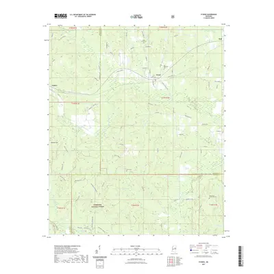 2021 Sturgis2021 Print · USGSCovers Oktibbeha County, including Sturgis, Fulcher, and other nearby areas
 - 2024 Map of Double Springs, 2024 Print
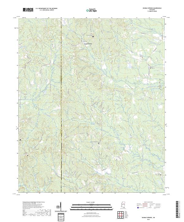 2024 Double Springs2024 Print · USGSSettled along the border of Choctaw and Oktibbeha counties, this rural Mississippi landscape is defined by its quiet creeks and community cemeteries. Trace local genealogy and landmarks like Double Springs Cem, Pleasant Ridge Cem, and the waters of Trim Cane Creek.
 - 2024 Map of Crawford West, 2024 Print
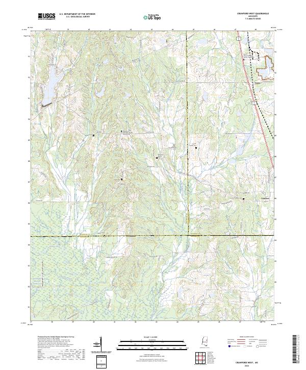 2024 Crawford West2024 Print · USGSCrawford and Penns are captured here at the convergence of three Mississippi counties during the early 2020s. Genealogists can trace deep local roots at Crawford Oaklimb Cem or Pleasant Grove Missionary Baptist Church.
 - 2024 Map of Bradley, 2024 Print
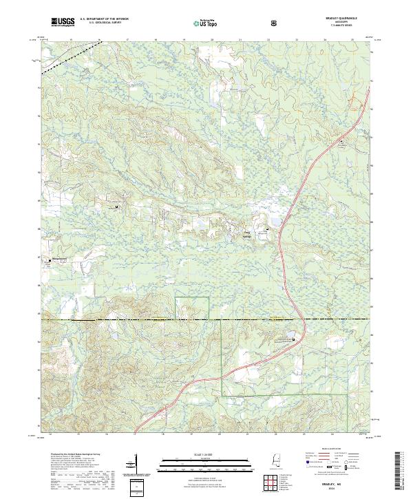 2024 Bradley2024 Print · USGSThe Oktibbeha and Winston county lines meet in this wooded landscape during the early 2020s. Researchers can locate family burial sites like Old Colclough Cem and McClelland Cem or trace the drainage of the Noxubee River and Parker Slough.
 - 2024 Map of Sturgis, 2024 Print
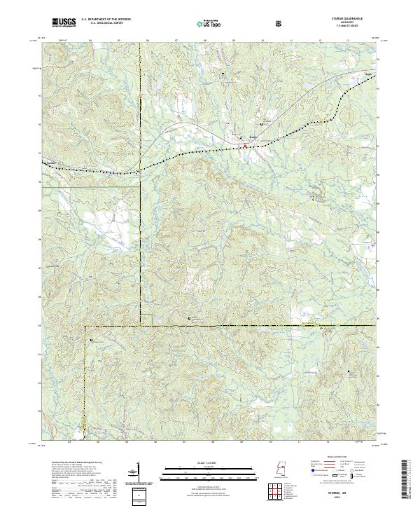 2024 Sturgis2024 Print · USGSThe rural communities of Oktibbeha County are documented in the modern era, centered on the historic town of Sturgis. Researchers can locate numerous family burial sites and landmarks like Old Whitefield Cem, Bethel Baptist Church, and the winding Noxubee River.
 - 2024 Map of West Point, 2024 Print
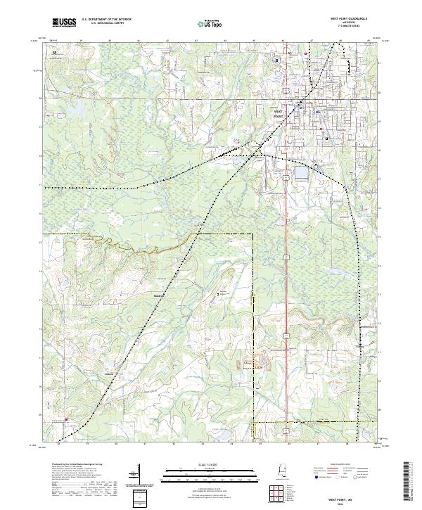 2024 West Point2024 Print · USGSWest Point and the surrounding prairies of Clay and Oktibbeha Counties are documented here in detail during the early twenty-first century. Researchers can locate ancestral sites at Mayhew Mission Cem or trace the early river crossings at Dicks Ferry and Lyons Bluff.
 - 2024 Map of Cedar Bluff, 2024 Print
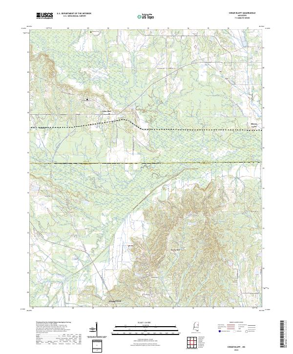 2024 Cedar Bluff2024 Print · USGSThe transition from the northern outskirts of Starkville to the rural creek bottoms of the Clay County line is captured in this modern survey. Researchers can locate family landmarks such as Cumberland Cemetery and trace the paths of Line Creek and Old Hwy 10 through Cedar Bluff.
 - 2024 Map of Bluff Lake, 2024 Print
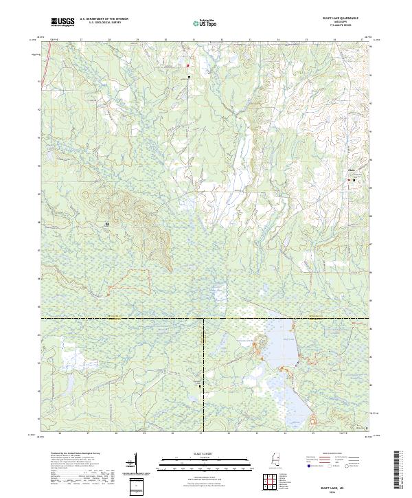 2024 Bluff Lake2024 Print · USGSThe borderlands of Oktibbeha, Winston, and Noxubee counties are revealed in this modern survey of the deep Mississippi wetlands. Researchers can locate family landmarks like Bethel Cem and Oktoc, or trace the winding waters of the Noxubee River and Bluff Lake.
 - 2024 Map of Starkville, 2024 Print
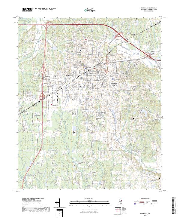 2024 Starkville2024 Print · USGSThe university city of Starkville and its surrounding Oktibbeha County landscape are captured here in the contemporary era. Researchers can trace the layout of Mississippi State University or locate local landmarks like the Oktibbeha County Courthouse and Odd Fellows Cem.
 - 2024 Map of Artesia, 2024 Print
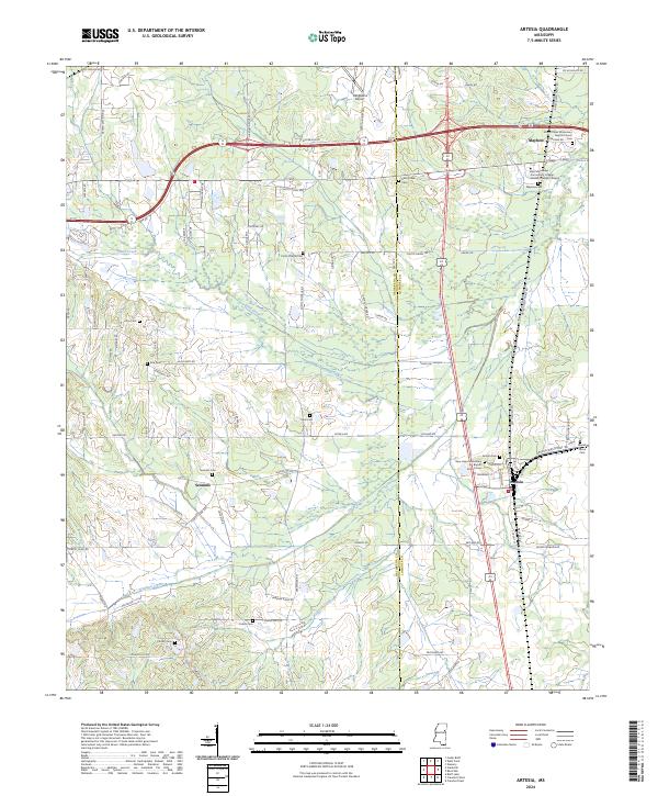 2024 Artesia2024 Print · USGSOktibbeha and Lowndes Counties are captured here in the early twenty-first century, showing the rural communities and agricultural lands of eastern Mississippi. Genealogists can trace family landmarks and historical burial sites like Sessums Cem, Rice Cem, and Parrish Cem.
 - 2024 Map of Longview, 2024 Print
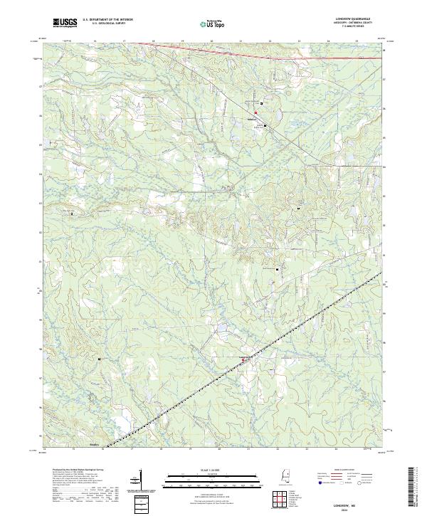 2024 Longview2024 Print · USGSOktibbeha County is captured here in the contemporary era, showing a landscape where small rural settlements like Longview and Adaton remain anchored by their local history. Genealogists can trace family connections through numerous sites including Adaton Methodist Cemetery and New Hope Cemetery.
 - 2024 Map of Pheba, 2024 Print
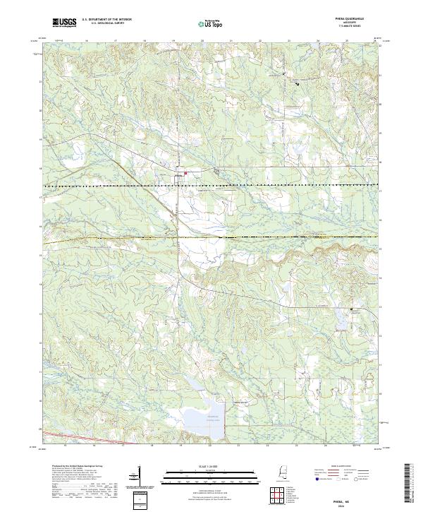 2024 Pheba2024 Print · USGSPheba and the borderlands of Clay and Oktibbeha Counties appear here in their modern rural character. Genealogists and local researchers can locate family landmarks like Methodist Cem and trace the paths of Sun Creek and Biba Wila Creek.
 - 2024 Map of Maben, 2024 Print
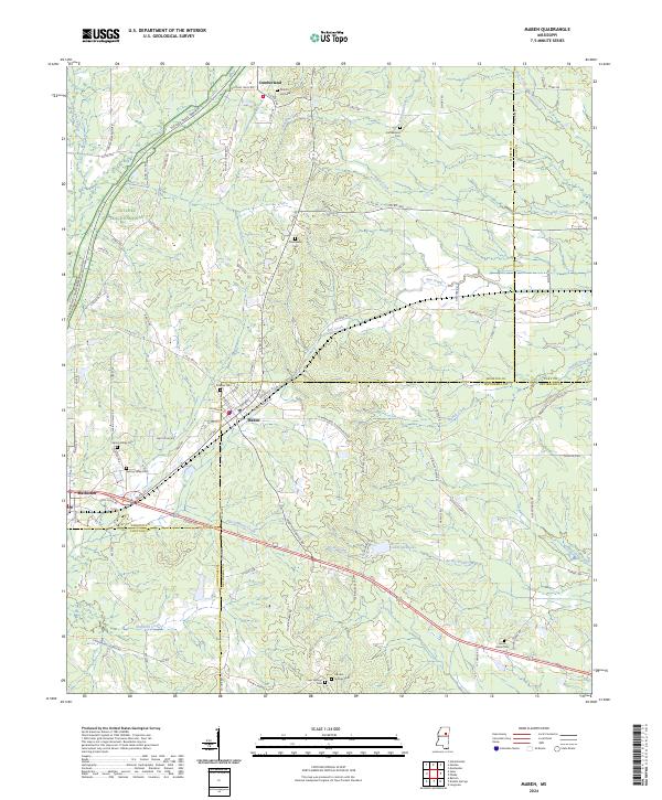 2024 Maben2024 Print · USGSMaben and Mathiston sit at the historic crossroads of four Mississippi counties during the early twenty-first century. Researchers can trace family roots through numerous burial sites like Double Springs Cem and Marvin Hill Cem along the Natchez Trace Parkway.
End of results
Showing maps 1-24 of 24
Top cities of Oktibbeha County
Frequently asked questions
- What are the different types of historical maps available for Oktibbeha County?
- What is the oldest map of Oktibbeha County?
- Where can I purchase historical maps of Oktibbeha County for my home or office?
- Where can I download high-res historical maps of Oktibbeha County?
- Are there historical topographic maps available for Oktibbeha County?
- Is there historical aerial imagery available for Oktibbeha County?
- Where are historical maps of Oktibbeha County sourced from?