2000s (21st Century) Maps of Oktibbeha County, Mississippi
Explore 62 historic maps of Oktibbeha County from the 2000s (21st Century). These maps offer a rare glimpse into what life looked like during the 2000s — showing old roads, neighborhoods, homes, and landmarks that have changed or disappeared over time.
Whether you're researching your family's past, planning a metal detecting trip, or studying how Oktibbeha County's landscape evolved across the 2000s, these high-resolution maps are a powerful tool for exploring the history of this region.
- Focus on a specific era: All maps on this page are from the 2000s, giving you a focused view of this time period.
- See what’s changed: Compare century-old streets, trails, and buildings to today's modern landscape using overlays and satellite layers.
- Research with precision: Use these maps for genealogy, historical research, land use analysis, or educational projects.
- View, download, or print: Maps are fully viewable online in high resolution, and can be downloaded or printed for your own records.
Start exploring Oktibbeha County's history through authentic maps from the 2000s. This is your window into the past.
Oktibbeha County, MS maps
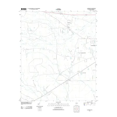
(62)- 2000 Map of Bradley, 2002 Print
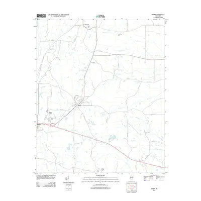
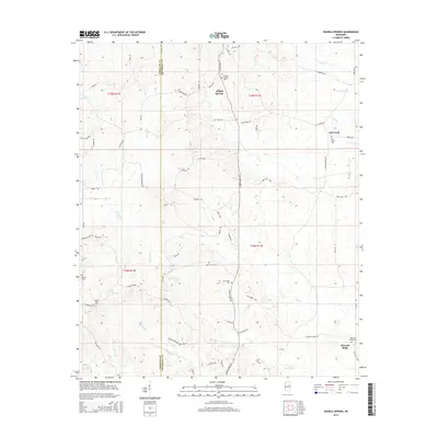
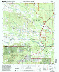 2000 Bradley2002 Print · USGSThe crossroads of Oktibbeha and Winston counties are captured here as they appeared at the start of the 2000s. Researchers can locate family landmarks like Jones Chapel, trace the reach of the Noxubee National Wildlife Refuge, and find local sites such as McClelland Cem.
 - 2000 Map of Sturgis, 2002 Print
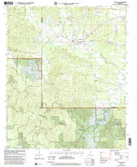 2000 Sturgis2002 Print · USGSThe three-county border region near Sturgis is captured here at the turn of the millennium. Genealogists can locate family sites like Crawford-Blackwood Cem and churches such as Wake Forest Ch or Pleasant Hill Church.
 - 2012 Map of Pheba, 2012 Print
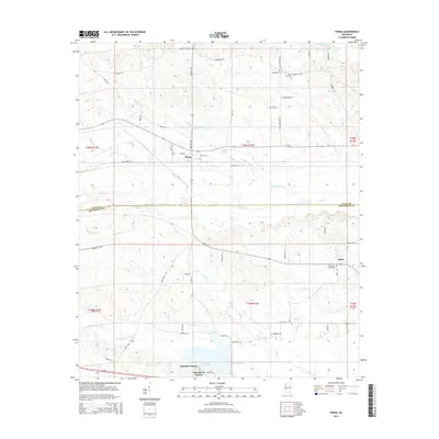
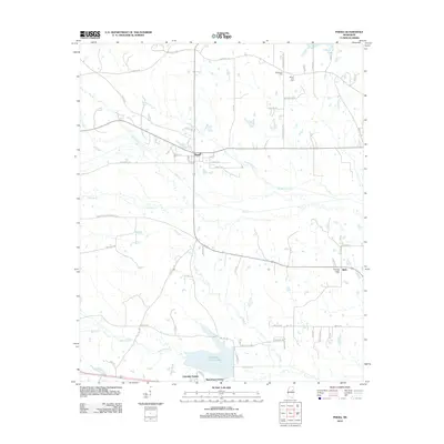 2012 Pheba2012 Print · USGSCovers Oktibbeha County, including Bells, Waterfront Estates, and other nearby areas
 - 2012 Map of Cedar Bluff, 2012 Print
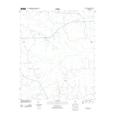 2012 Cedar Bluff2012 Print · USGSCovers Oktibbeha County, including Starkville, Rocky Hill, and other nearby areas
 - 2012 Map of West Point, 2012 Print
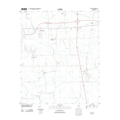
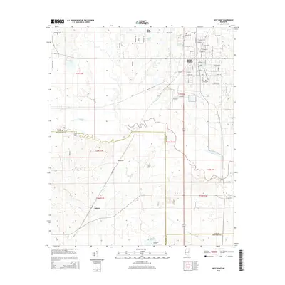
 2012 West Point2012 Print · USGSCovers Oktibbeha County, including West Point, Osborn, and other nearby areas
 - 2012 Map of Bradley, 2012 Print
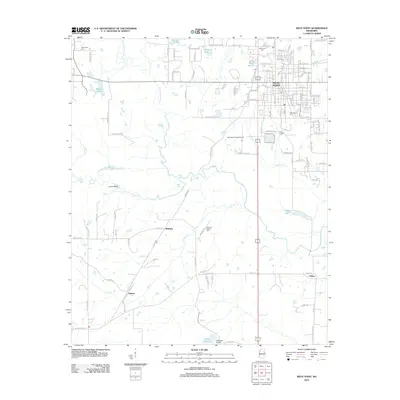
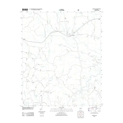
 2012 Bradley2012 Print · USGSCovers Oktibbeha County, including Morgantown, Bradley, and other nearby areas
 - 2012 Map of Bluff Lake, 2012 Print
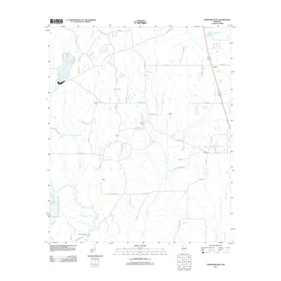
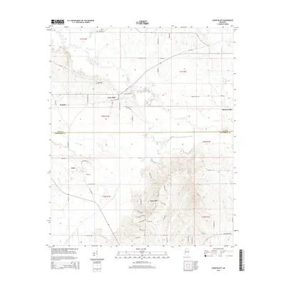
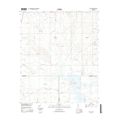
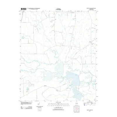 2012 Bluff Lake2012 Print · USGSCovers Oktibbeha County, including Winston, Oktoc, and other nearby areas
 - 2012 Map of Starkville, 2012 Print
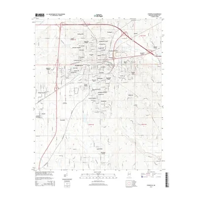
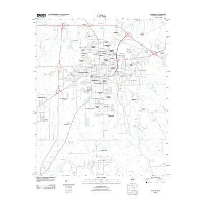 2012 Starkville2012 Print · USGSCovers Oktibbeha County, including Starkville, Deerfield, and other nearby areas
 - 2012 Map of Longview, 2012 Print
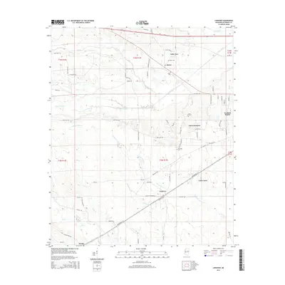
 2012 Longview2012 Print · USGSCovers Oktibbeha County, including Starkville, Westland Heights, and other nearby areas
 - 2012 Map of Artesia, 2012 Print
 2012 Artesia2012 Print · USGSCovers Oktibbeha County, including Artesia, Hickory Grove Estates, and other nearby areas
 - 2012 Map of Crawford West, 2012 Print
 2012 Crawford West2012 Print · USGSCovers Oktibbeha County, including Crawford, Penns, and other nearby areas
 - 2012 Map of Double Springs, 2012 Print
 2012 Double Springs2012 Print · USGSCovers Oktibbeha County, including Pleasant Ridge, Self Creek, and other nearby areas
 - 2012 Map of Maben, 2012 Print
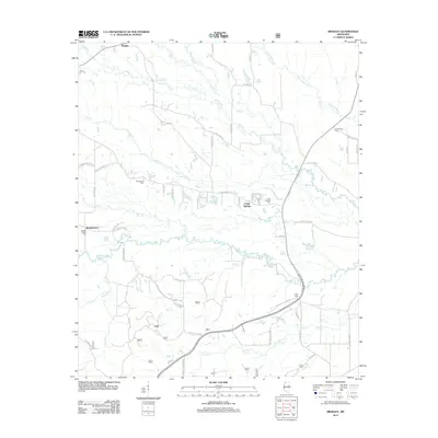
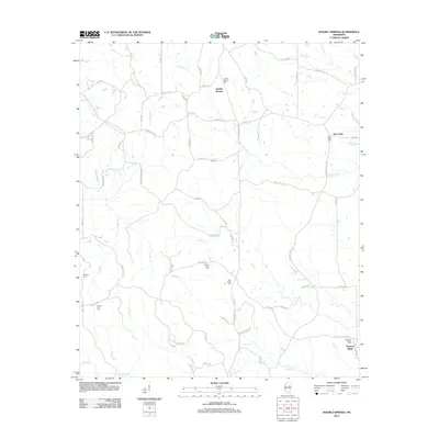
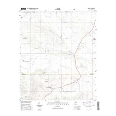
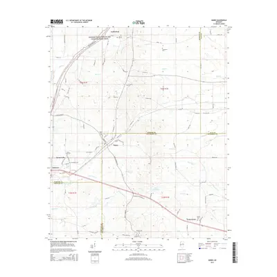
 2012 Maben2012 Print · USGSCovers Oktibbeha County, including Center Grove, Spring Valley, and other nearby areas
 - 2012 Map of Sturgis, 2012 Print
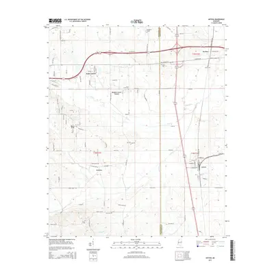
 2012 Sturgis2012 Print · USGSCovers Oktibbeha County, including Sturgis, Fulcher, and other nearby areas
 - 2015 Map of Pheba, 2015 Print
 2015 Pheba2015 Print · USGSCovers Oktibbeha County, including Bells, Waterfront Estates, and other nearby areas
 - 2015 Map of West Point, 2015 Print
 2015 West Point2015 Print · USGSCovers Oktibbeha County, including West Point, Osborn, and other nearby areas
 - 2015 Map of Double Springs, 2015 Print
 2015 Double Springs2015 Print · USGSCovers Oktibbeha County, including Pleasant Ridge, Self Creek, and other nearby areas
 - 2015 Map of Artesia, 2015 Print
 2015 Artesia2015 Print · USGSCovers Oktibbeha County, including Artesia, Hickory Grove Estates, and other nearby areas
 - 2015 Map of Starkville, 2015 Print
 2015 Starkville2015 Print · USGSCovers Oktibbeha County, including Starkville, Deerfield, and other nearby areas
 - 2015 Map of Cedar Bluff, 2015 Print
 2015 Cedar Bluff2015 Print · USGSCovers Oktibbeha County, including Starkville, Rocky Hill, and other nearby areas
 - 2015 Map of Bradley, 2015 Print
 2015 Bradley2015 Print · USGSCovers Oktibbeha County, including Morgantown, Bradley, and other nearby areas
 - 2015 Map of Longview, 2015 Print
 2015 Longview2015 Print · USGSCovers Oktibbeha County, including Starkville, Westland Heights, and other nearby areas
 - 2015 Map of Maben, 2015 Print
 2015 Maben2015 Print · USGSCovers Oktibbeha County, including Center Grove, Spring Valley, and other nearby areas
 - 2015 Map of Crawford West, 2015 Print
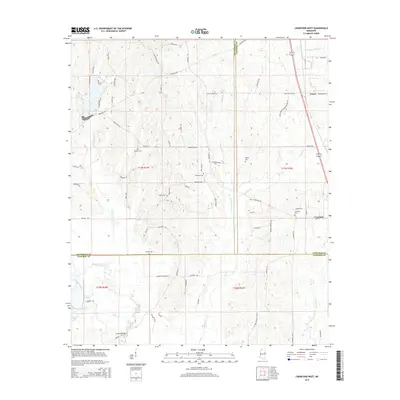 2015 Crawford West2015 Print · USGSCovers Oktibbeha County, including Crawford, Penns, and other nearby areas
 - 2015 Map of Bluff Lake, 2015 Print
 2015 Bluff Lake2015 Print · USGSCovers Oktibbeha County, including Winston, Oktoc, and other nearby areas
Showing maps 1-25 of 62
Top cities of Oktibbeha County
Frequently asked questions
- What are the different types of historical maps available for Oktibbeha County?
- What is the oldest map of Oktibbeha County?
- Where can I purchase historical maps of Oktibbeha County for my home or office?
- Where can I download high-res historical maps of Oktibbeha County?
- Are there historical topographic maps available for Oktibbeha County?
- Is there historical aerial imagery available for Oktibbeha County?
- Where are historical maps of Oktibbeha County sourced from?