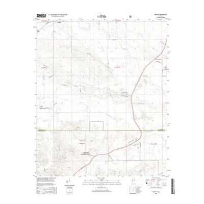
2015 Map of Bradley
USGS Topo · Published 2015About this map
Tombigbee National Forest dominates the southern landscape of this area, where the border between Oktibbeha and Winston counties follows the meandering path of the Noxubee River. Small settlements and family-named homesteads are scattered across the terrain, connected by a network of rural roads such as Silver Ridge Rd and Craig Springs Rd. The presence of numerous burial sites, including Morgan Chapel Cem and Colcolough Cem, suggests long-standing community ties in locales like Morgantown and Craig Springs. Drainage is defined by a dense system of waterways including Cypress Cr, Chinchahoma Cr, and Sand Cr, which feed into the primary river system. This topography illustrates the persistent rural character of north-central Mississippi, where timberlands and creek bottoms shape the patterns of local residence and transport.
Find a feature on this map
64 named features on this map. Tap any name to fly to it.
Don’t see what you’re looking for? This feature index may not catch every label — zoom into the map to look around manually.
Map Details
Editions of this 2015 Bradley Map
This is the sole edition of this map. No revisions or reprints were ever made.
Other maps of this area

1953 · West Point
USGS Topo · 1:250,000

1958 · West Point
USGS Topo · 1:250,000

1963 · West Point
USGS Topo · 1:250,000

1965 · Starkville
USGS Topo · 1:24,000

1965 · Bluff Lake
USGS Topo · 1:24,000

1965 · Longview
USGS Topo · 1:24,000

1965 · Bradley
USGS Topo · 1:24,000

1972 · Louisville North
USGS Topo · 1:24,000

1972 · Double Springs
USGS Topo · 1:24,000

1972 · Sturgis
USGS Topo · 1:24,000