
1972 Map of Sturgis
USGS Topo · Published 1975About this map
Sturgis serves as the central hub for this early 1970s survey, situated at the junction of the Gulf Central Illinois railroad and several local roads. The landscape transitions from the developed grid of the town into the southern reaches of the Tombigbee National Forest. Numerous country churches and burial sites, including Wake Forest Ch, Mt Zion Ch, and the Old Sturgis Cem, are scattered across the surrounding hills and along the drainages of Sand Creek and Red Bank Creek.
Find a feature on this map
37 named features on this map. Tap any name to fly to it.
Don’t see what you’re looking for? This feature index may not catch every label — zoom into the map to look around manually.
Map Details
Editions of this 1972 Sturgis Map
This is the sole edition of this map. No revisions or reprints were ever made.
Other maps of this area

1953 · West Point
USGS Topo · 1:250,000

1958 · West Point
USGS Topo · 1:250,000

1963 · West Point
USGS Topo · 1:250,000

1965 · Longview
USGS Topo · 1:24,000

1965 · Bradley
USGS Topo · 1:24,000

1972 · Louisville North
USGS Topo · 1:24,000

1972 · Highpoint
USGS Topo · 1:24,000

1972 · Double Springs
USGS Topo · 1:24,000
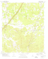
1972 · Reform
USGS Topo · 1:24,000
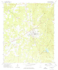
1972 · Ackerman
USGS Topo · 1:24,000