2010s Maps of Oktibbeha County, Mississippi
Explore 36 historic maps of Oktibbeha County from the 2010s. These maps offer a rare glimpse into what life looked like during the 2010s — showing old roads, neighborhoods, homes, and landmarks that have changed or disappeared over time.
Whether you're researching your family's past, planning a metal detecting trip, or studying how Oktibbeha County's landscape evolved across the 2010s, these high-resolution maps are a powerful tool for exploring the history of this region.
- Focus on a specific era: All maps on this page are from the 2010s, giving you a focused view of this time period.
- See what’s changed: Compare century-old streets, trails, and buildings to today's modern landscape using overlays and satellite layers.
- Research with precision: Use these maps for genealogy, historical research, land use analysis, or educational projects.
- View, download, or print: Maps are fully viewable online in high resolution, and can be downloaded or printed for your own records.
Start exploring Oktibbeha County's history through authentic maps from the 2010s. This is your window into the past.
Oktibbeha County, MS maps
(36)- 2012 Map of Pheba, 2012 Print
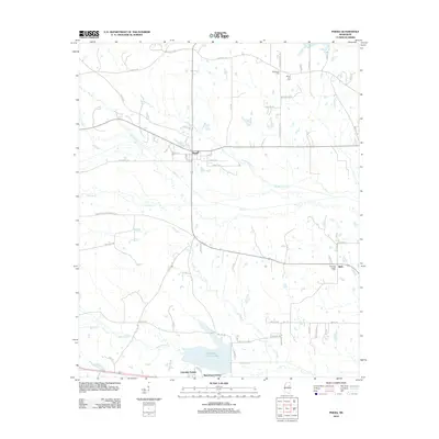 2012 Pheba2012 Print · USGSClay and Oktibbeha counties are shown here just after the turn of the millennium, centered on the settlement of Pheba. Researchers can trace rural lineages through sites like Methodist Cem or family routes along Polly Bell Rd and Pollard Rd.
 - 2012 Map of Cedar Bluff, 2012 Print
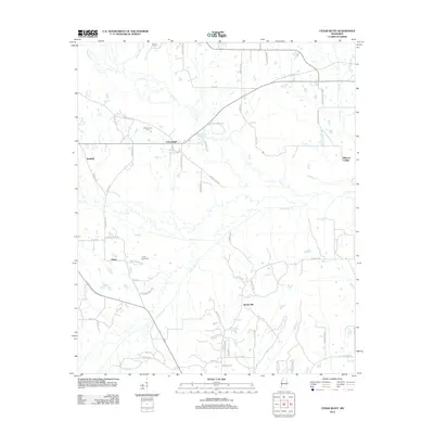 2012 Cedar Bluff2012 Print · USGSNortheastern Mississippi at the start of the 2010s reveals a landscape of winding creeks and quiet rural settlements. Genealogists and local historians can trace family locations near Cedar Bluff or locate older sites like Cumberland Cem and Rocky Hill.
 - 2012 Map of West Point, 2012 Print
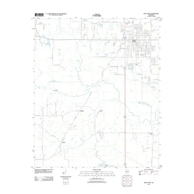 2012 West Point2012 Print · USGSWest Point and the surrounding Clay County countryside are shown here in the early twenty-first century, anchored by a complex network of creeks and prairie lands. Genealogists and local historians can locate several burial grounds, including Mayhew Mission Cem, and trace rural communities like Muldrow and Osborn.
 - 2012 Map of Bradley, 2012 Print
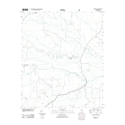 2012 Bradley2012 Print · USGSOktibbeha County at the start of the decade reveals a network of rural settlements and family burial grounds tied to the Noxubee River. Genealogists and local historians can trace family roots through sites like Morgan Chapel Cem, McClelland Cem, and the community of Craig Springs.
 - 2012 Map of Bluff Lake, 2012 Print
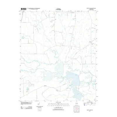 2012 Bluff Lake2012 Print · USGSEastern Mississippi's wetland and rural landscape is documented here in the early twenty-first century, centered on the Noxubee River basin. Genealogists and historians can trace local family landmarks and burial sites such as Bethel Cem, Noxubee Cem, and the community of Oktoc.
 - 2012 Map of Starkville, 2012 Print
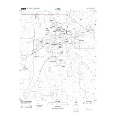 2012 Starkville2012 Print · USGSStarkville and the surrounding Oktibbeha County landscape are shown here during a period of significant growth in the early twenty-first century. Researchers can trace the layout of Mississippi State University or locate family sites at the Old Presbyterian Cem and Oktibbeha Memorial Gardens.
 - 2012 Map of Longview, 2012 Print
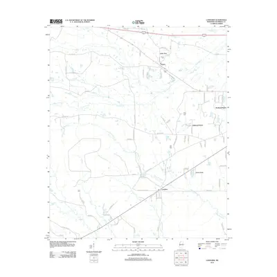 2012 Longview2012 Print · USGSOktibbeha County at the start of the decade shows a landscape of growing residential enclaves and historic crossroads. Genealogists and local historians can trace the locations of Adaton Cem, Lost Cem, and the community of Longview along the many creek branches.
 - 2012 Map of Artesia, 2012 Print
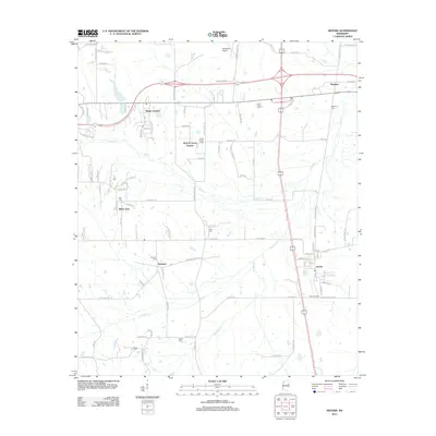 2012 Artesia2012 Print · USGSArtesia and its rural Mississippi surroundings are captured here at the start of the 2010s, showcasing a landscape defined by small settlements and family histories. Genealogists can trace numerous local burial sites like Fox Cem and Sessums Cem or locate homes near Bush Crossing.
 - 2012 Map of Crawford West, 2012 Print
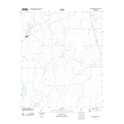 2012 Crawford West2012 Print · USGSLowndes County's agricultural heartland is documented here in the early twenty-first century, showing the rural road networks and family cemeteries that define the region. Researchers can trace land ties at Bethesda Cem and Edmonds Bridge or follow the path of Shotbag Cr.
 - 2012 Map of Double Springs, 2012 Print
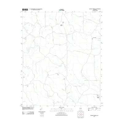 2012 Double Springs2012 Print · USGSNorth of Sturgis in the early twenty-first century, this area of Mississippi remains a landscape of quiet rural settlements and family burial sites. Genealogists can trace deep local roots at Double Springs Cem, Mount Olive Cem, and the church at Lebanon.
 - 2012 Map of Maben, 2012 Print
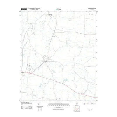 2012 Maben2012 Print · USGSThe Maben and Mathiston area at the start of the 2010s shows a landscape deeply connected to its rural roots and family histories. Genealogists and historians can trace numerous burial grounds and small settlements like Center Grove, Cumberland, and Spring Valley Cem.
 - 2012 Map of Sturgis, 2012 Print
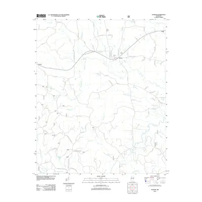 2012 Sturgis2012 Print · USGSNear the headwaters of the Noxubee River, this early twenty-first-century survey captures the rural character of Oktibbeha County. Researchers can locate several historical burial grounds including Old Sturgis Cem and Blackwood Cem, or trace the winding course of Bogue Fallah.
 - 2015 Map of Pheba, 2015 Print
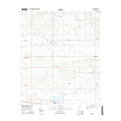 2015 Pheba2015 Print · USGSPheba and the surrounding Clay County farmsteads are shown in this mid-2010s survey as the area balances its rural roots with new lakeside growth. Researchers can trace family-named landmarks and old burial sites like Mount Zion Cem and Pearsons Chapel Cem near Bells.
 - 2015 Map of West Point, 2015 Print
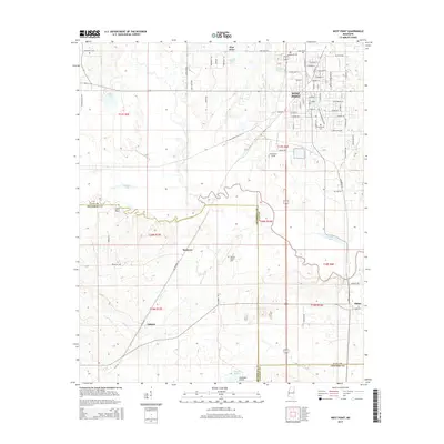 2015 West Point2015 Print · USGSWest Point and the surrounding Black Prairie region are documented here in the mid-2010s as a crossroads of three counties. Researchers can trace family sites at Greenwood Cem, locate the rural community of Osborn, or study the wetlands around Tibbee Lake.
 - 2015 Map of Double Springs, 2015 Print
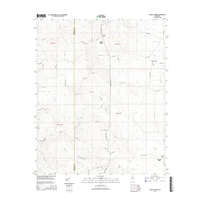 2015 Double Springs2015 Print · USGSThe borderlands of Choctaw and Oktibbeha counties are shown here as a landscape of rural settlements and winding creeks. Researchers can trace local lineage through numerous documented burial sites like Double Springs Cem, Self Creek Cem, and Pleasant Ridge Cem.
 - 2015 Map of Artesia, 2015 Print
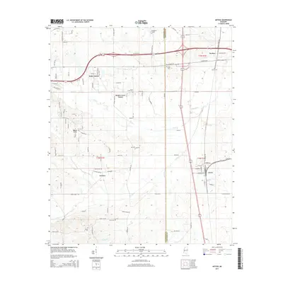 2015 Artesia2015 Print · USGSArtesia and the surrounding prairie of eastern Mississippi are captured here in the mid-twenty-tens. Researchers can trace the local cemetery network including Sessums and Sand Creek, or locate landmarks like the Oktibbeha Airport and Black Jack.
 - 2015 Map of Starkville, 2015 Print
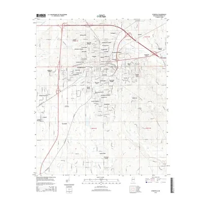 2015 Starkville2015 Print · USGSStarkville and its surrounding university-centered neighborhoods are captured here during a period of significant suburban growth. Genealogists and researchers can locate several local burial grounds including Boyd Cem and Salem Cem, or trace the paths of Tobacco Juice Cr and Catalpa Cr.
 - 2015 Map of Cedar Bluff, 2015 Print
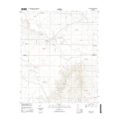 2015 Cedar Bluff2015 Print · USGSThe borderlands of Clay and Oktibbeha Counties come into focus in the mid-2010s, revealing a rural landscape shaped by the Black Belt's watercourses. Researchers can locate family landmarks like Mosley Cem and trace the paths of Line Cr and Trim Cane Cr through Cedar Bluff.
 - 2015 Map of Bradley, 2015 Print
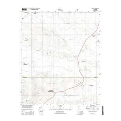 2015 Bradley2015 Print · USGSNorth-central Mississippi is defined by its deep timberlands and winding creek bottoms during this era of rural continuity. Genealogists can trace family names and historic burial sites like Morgan Chapel Cem and Pugh Cem near the Noxubee River.
 - 2015 Map of Longview, 2015 Print
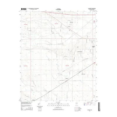 2015 Longview2015 Print · USGSOktibbeha County's rural landscape comes into focus during this mid-2010s survey of the areas west of Starkville. Genealogists can trace family connections through the Adaton Cem, Lost Cem, and settlements like Longview and Bradley.
 - 2015 Map of Maben, 2015 Print
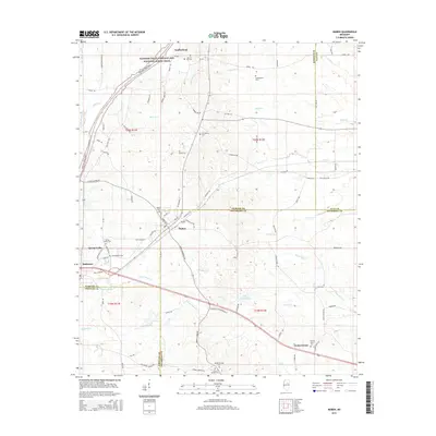 2015 Maben2015 Print · USGSNorth Mississippi's interior comes alive in this survey of the borders between Webster, Clay, and Oktibbeha counties. Genealogists and local historians can trace family locations through numerous sites like Marvin Hill Cem, Maben, and the historic Natchez Trace.
 - 2015 Map of Crawford West, 2015 Print
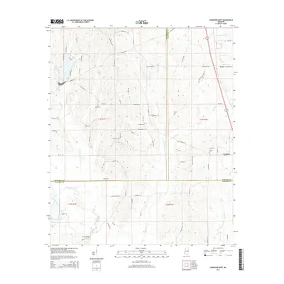 2015 Crawford West2015 Print · USGSCrawford and the surrounding prairie lands are captured here in the mid-2010s, showing a landscape of family farms and creek bottoms. Researchers can locate numerous local burial sites like Henkle Cem and Stewart Cem or trace the drainage of the Noxubee River.
 - 2015 Map of Bluff Lake, 2015 Print
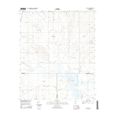 2015 Bluff Lake2015 Print · USGSThe marshlands and creeks south of Oktoc come into focus in the mid-2010s, showing a landscape defined by the Noxubee River and its many tributaries. Genealogists and local historians can trace family-named sites like Henry Sansing or locate resting places at Bethel Cemetery and White Cemetery.
 - 2015 Map of Sturgis, 2015 Print
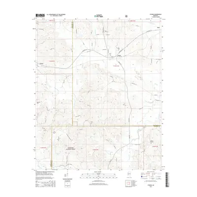 2015 Sturgis2015 Print · USGSOktibbeha County and the surrounding timberlands are documented here in the mid-2010s, centered on the crossroads of Sturgis. Genealogists and researchers can trace local family landmarks through sites like Old Sturgis Cem, Bethel Cem, and the reaches of the Tombigbee National Forest.
 - 2018 Map of Longview, 2018 Print
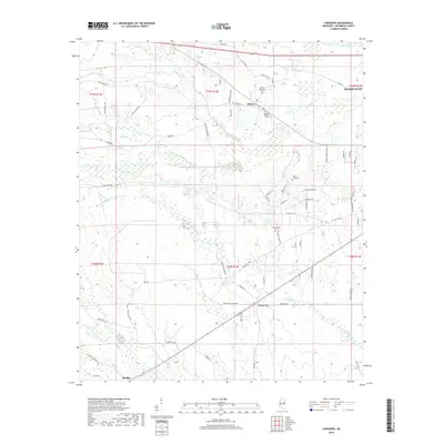 2018 Longview2018 Print · USGSOktibbeha County just west of Starkville is shown here in the late twenty-teens, dominated by a network of creek-fed bottomlands. Family historians can trace local roots through numerous burial grounds, including Adaton Baptist Cem, New Hope Cem, and Lost Cem.
Showing maps 1-25 of 36
Top cities of Oktibbeha County
Frequently asked questions
- What are the different types of historical maps available for Oktibbeha County?
- What is the oldest map of Oktibbeha County?
- Where can I purchase historical maps of Oktibbeha County for my home or office?
- Where can I download high-res historical maps of Oktibbeha County?
- Are there historical topographic maps available for Oktibbeha County?
- Is there historical aerial imagery available for Oktibbeha County?
- Where are historical maps of Oktibbeha County sourced from?