2020s Maps of Perry County, Mississippi
Explore 40 historic maps of Perry County from the 2020s. These maps offer a rare glimpse into what life looked like during the 2020s — showing old roads, neighborhoods, homes, and landmarks that have changed or disappeared over time.
Whether you're researching your family's past, planning a metal detecting trip, or studying how Perry County's landscape evolved across the 2020s, these high-resolution maps are a powerful tool for exploring the history of this region.
- Focus on a specific era: All maps on this page are from the 2020s, giving you a focused view of this time period.
- See what’s changed: Compare century-old streets, trails, and buildings to today's modern landscape using overlays and satellite layers.
- Research with precision: Use these maps for genealogy, historical research, land use analysis, or educational projects.
- View, download, or print: Maps are fully viewable online in high resolution, and can be downloaded or printed for your own records.
Start exploring Perry County's history through authentic maps from the 2020s. This is your window into the past.
Perry County, MS maps
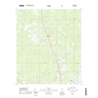
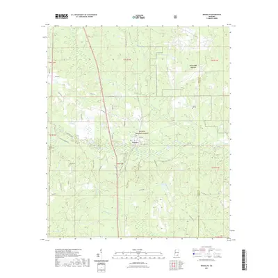
(40)- 2020 Map of Carterville, 2020 Print
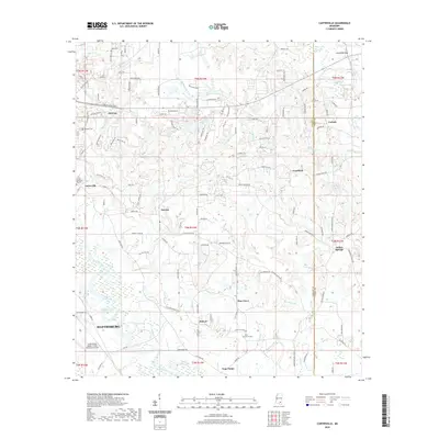 2020 Carterville2020 Print · USGSCovers Perry County, including Hattiesburg, Petal, and other nearby areas
 - 2020 Map of Barrontown, 2020 Print
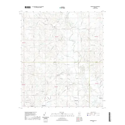 2020 Barrontown2020 Print · USGSCovers Perry County, including Petal, Barrontown, and other nearby areas
 - 2020 Map of Ovett SE, 2020 Print
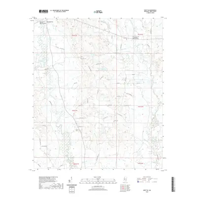 2020 Ovett SE2020 Print · USGSCovers Perry County, including United States, Mississippi, and other nearby areas
 - 2020 Map of Brewer, 2020 Print
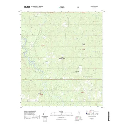
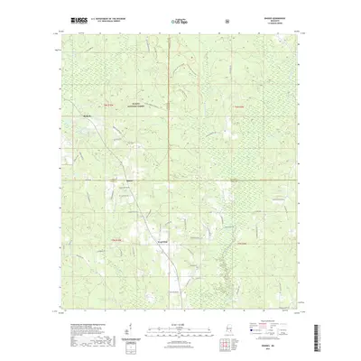
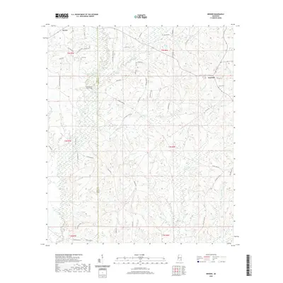 2020 Brewer2020 Print · USGSCovers Perry County, including Sand Hill, Brewer, and other nearby areas
 - 2020 Map of Richton, 2020 Print
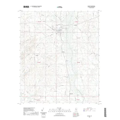 2020 Richton2020 Print · USGSCovers Perry County, including Richton, Hintonville, and other nearby areas
 - 2021 Map of Beaumont, 2021 Print
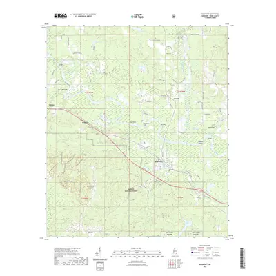 2021 Beaumont2021 Print · USGSCovers Perry County, including Beaumont, New Augusta, and other nearby areas
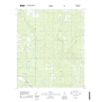
 - 2021 Map of Avent, 2021 Print
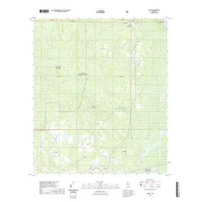 2021 Avent2021 Print · USGSCovers Perry County, including Avent, George County, and other nearby areas
 - 2021 Map of Bond Pond, 2021 Print
 2021 Bond Pond2021 Print · USGSCovers Perry County, including Wiggins, Stone County, and other nearby areas
 - 2021 Map of Bond, 2021 Print
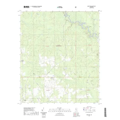
 2021 Bond2021 Print · USGSCovers Perry County, including Wiggins, Maxie, and other nearby areas
 - 2021 Map of Taylor Hill, 2021 Print
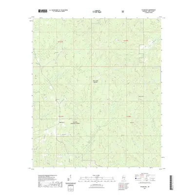 2021 Taylor Hill2021 Print · USGSCovers Perry County, including Oak Grove, United States, and other nearby areas
 - 2021 Map of Neely, 2021 Print
 2021 Neely2021 Print · USGSCovers Perry County, including Little Creek, Wilson, and other nearby areas
 - 2021 Map of Mulberry, 2021 Print
 2021 Mulberry2021 Print · USGSCovers Perry County, including Mulberry, Henderson, and other nearby areas
 - 2021 Map of Barbara, 2021 Print
 2021 Barbara2021 Print · USGSCovers Perry County, including Batt Place, Deep Creek, and other nearby areas
 - 2021 Map of Rhodes, 2021 Print
 2021 Rhodes2021 Print · USGSCovers Perry County, including Blodgett, Rhodes, and other nearby areas
 - 2021 Map of McLain, 2021 Print
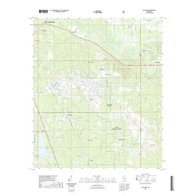
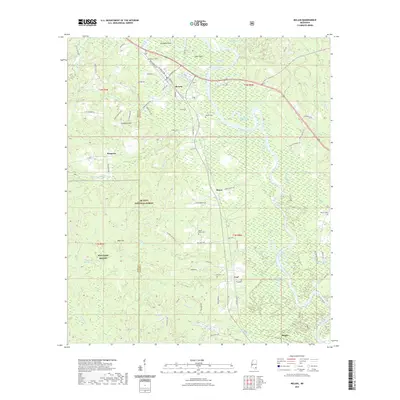 2021 McLain2021 Print · USGSCovers Perry County, including McLain, Leaf, and other nearby areas
 - 2021 Map of New Augusta, 2021 Print
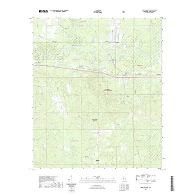 2021 New Augusta2021 Print · USGSCovers Perry County, including New Augusta, Mahned, and other nearby areas
 - 2021 Map of Brooklyn, 2021 Print
 2021 Brooklyn2021 Print · USGSCovers Perry County, including Brooklyn, Currie, and other nearby areas
 - 2021 Map of Ovett, 2021 Print
 2021 Ovett2021 Print · USGSCovers Perry County, including Fox, Ovett, and other nearby areas
 - 2021 Map of McLaurin, 2021 Print
 2021 McLaurin2021 Print · USGSCovers Perry County, including Hattiesburg, McLaurin, and other nearby areas
 - 2021 Map of Janice, 2021 Print
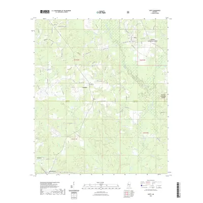
 2021 Janice2021 Print · USGSCovers Perry County, including Janice, United States, and other nearby areas
 - 2024 Map of Bond Pond, 2024 Print
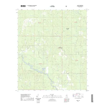
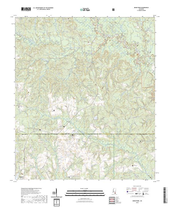 2024 Bond Pond2024 Print · USGSThe Perry and Stone county line comes into focus in this recent survey of the Mississippi pine woods. Researchers can trace family history at the Haines Family Cem, navigate the Black Creek Trl, and explore the Black Creek Wilderness.
 - 2024 Map of Avent, 2024 Print
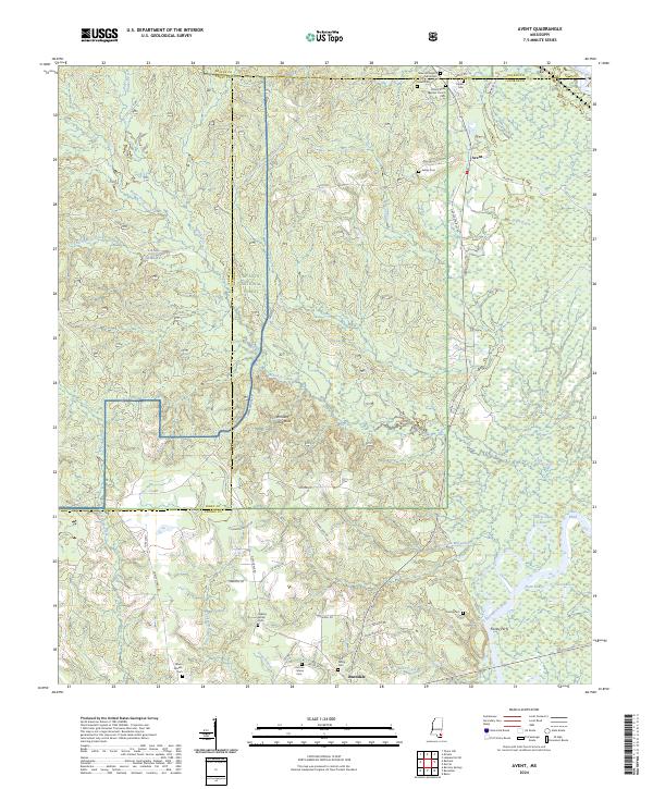 2024 Avent2024 Print · USGSSoutheastern Mississippi at the meeting of the Pascagoula and Leaf Rivers reveals a landscape of deep-rooted family settlements and forest tracks. Genealogists can trace local lineages through the Fairley Cem, Pipkin Cem, and the historic Fairley Ferry.
 - 2024 Map of Barbara, 2024 Print
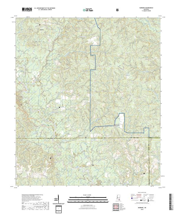 2024 Barbara2024 Print · USGSDe Soto National Forest and the Black Creek corridor define this South Mississippi landscape as it appears today. Genealogists can trace several remote burial grounds including Thomas Cem, Cochran Cem, and the Miles Cem near the Steve Hills.
 - 2024 Map of Mulberry, 2024 Print
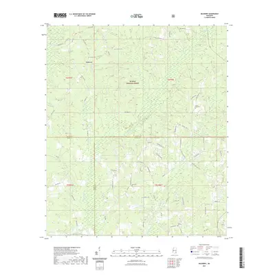
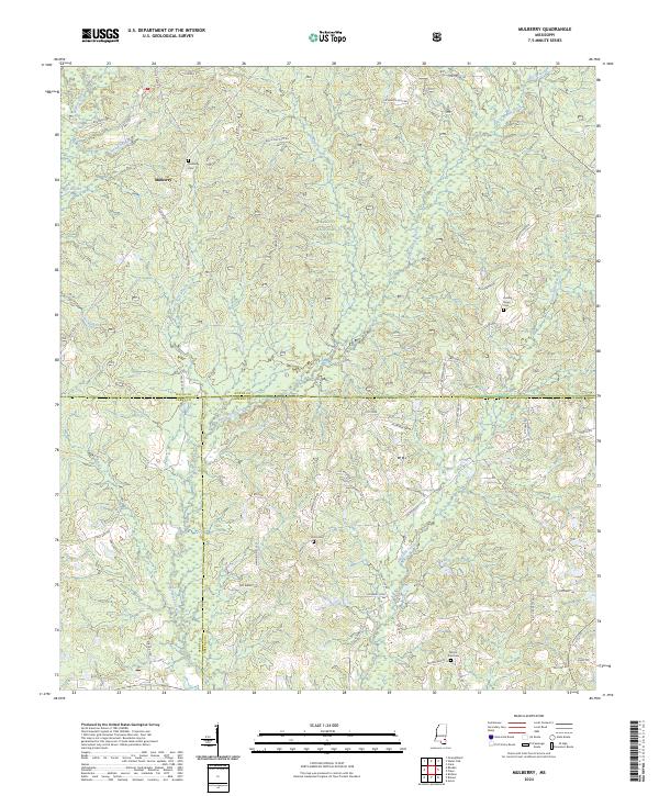 2024 Mulberry2024 Print · USGSSoutheastern Mississippi's timberlands and rural crossroads are documented here in the early twenty-first century. Researchers can trace local drainage patterns along Bogue Homa or locate family landmarks near Mulberry and Sand Hill.
 - 2024 Map of Rhodes, 2024 Print
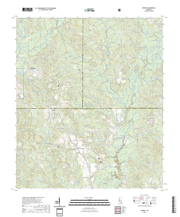 2024 Rhodes2024 Print · USGSPerry County and the southern reaches of the De Soto National Forest appear here in fine detail during the early 2020s. Genealogists can trace family connections through numerous rural burial sites like the Dewitt Family Cem and the Dykes Chapel Cem.
Showing maps 1-25 of 40
Top cities of Perry County
Frequently asked questions
- What are the different types of historical maps available for Perry County?
- What is the oldest map of Perry County?
- Where can I purchase historical maps of Perry County for my home or office?
- Where can I download high-res historical maps of Perry County?
- Are there historical topographic maps available for Perry County?
- Is there historical aerial imagery available for Perry County?
- Where are historical maps of Perry County sourced from?