2010s Maps of Perry County, Mississippi
Explore 60 historic maps of Perry County from the 2010s. These maps offer a rare glimpse into what life looked like during the 2010s — showing old roads, neighborhoods, homes, and landmarks that have changed or disappeared over time.
Whether you're researching your family's past, planning a metal detecting trip, or studying how Perry County's landscape evolved across the 2010s, these high-resolution maps are a powerful tool for exploring the history of this region.
- Focus on a specific era: All maps on this page are from the 2010s, giving you a focused view of this time period.
- See what’s changed: Compare century-old streets, trails, and buildings to today's modern landscape using overlays and satellite layers.
- Research with precision: Use these maps for genealogy, historical research, land use analysis, or educational projects.
- View, download, or print: Maps are fully viewable online in high resolution, and can be downloaded or printed for your own records.
Start exploring Perry County's history through authentic maps from the 2010s. This is your window into the past.
Perry County, MS maps
(60)- 2012 Map of Beaumont, 2012 Print
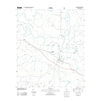 2012 Beaumont2012 Print · USGSThe Leaf River meanders through Perry County in this 2012 survey, revealing a landscape defined by oxbow lakes and rural river landings. Researchers can trace family history at Belton Cem and Hinton Cem or locate industrial landmarks like Hercules Station and the Beaumont Fire Tower.
 - 2012 Map of Richton, 2012 Print
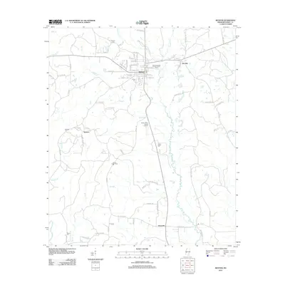 2012 Richton2012 Print · USGSPerry County's rural communities and municipal centers come into focus in the early 2010s, showing the settled landscape of South Mississippi. Researchers can trace family history at the Isaiah Hinton Cem, explore the town of Richton, or locate the McSwain settlement.
 - 2012 Map of McLain, 2012 Print
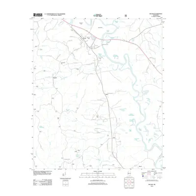 2012 McLain2012 Print · USGSGreene County river country comes to life in the early 2010s, centered on the Leaf River bottomlands. Researchers can trace rural lineages through the McLain Cem and Mount Nebo Cem, or locate landmarks like the Leaf Lookout Tower.
 - 2012 Map of Taylor Hill, 2012 Print
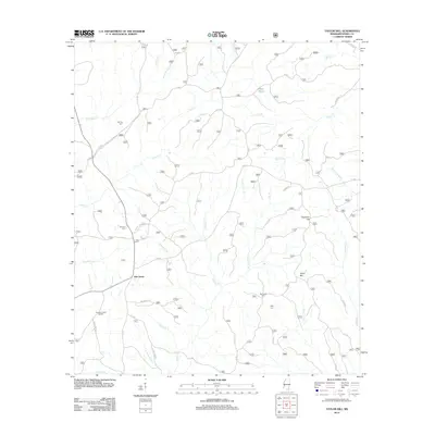 2012 Taylor Hill2012 Print · USGSOak Grove and the surrounding Perry County timberlands are documented here in the early twenty-first century. Genealogists and local historians can locate family landmarks like Herring Cemetery, Ray Green Farm, and the curiously named Deadman Hill.
 - 2012 Map of Brewer, 2012 Print
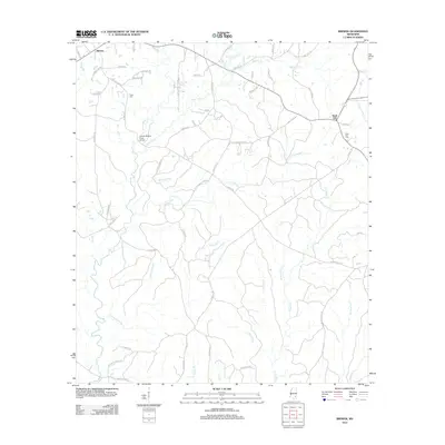 2012 Brewer2012 Print · USGSGreene County crossroads and creek bottoms are documented here in the decade following the turn of the millennium. Local researchers can trace family landmarks like the Gaines Brewer Road Bridge and several cemeteries including Frisco Cem and Sand Hill Cem.
 - 2012 Map of Rhodes, 2012 Print
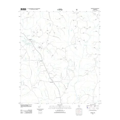 2012 Rhodes2012 Print · USGSJones County at the turn of the century shows a landscape where timber and agriculture meet along the many branches of Tiger Creek. Local historians can trace family roots through landmarks like Edwards Cemetery and the Tiger Creek Lookout Tower.
 - 2012 Map of Mulberry, 2012 Print
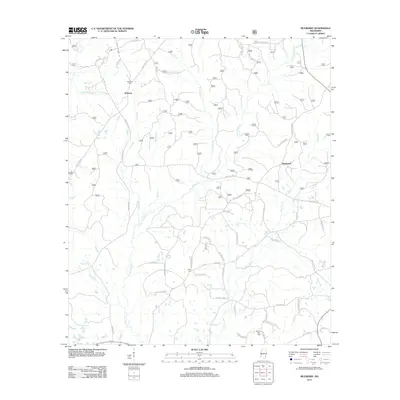 2012 Mulberry2012 Print · USGSSouthern Mississippi's timber and farming country is captured here during the early twenty-first century. Researchers can locate family roots at Mulberry Cem or Mount Zion Cem and trace the paths of Piney Woods Cr and Gunstock Br.
 - 2012 Map of Neely, 2012 Print
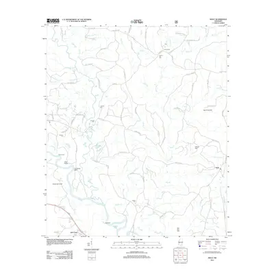 2012 Neely2012 Print · USGSSoutheast Mississippi's timber and river country is captured here during the early twenty-first century. Genealogists and local researchers can trace family landmarks and burial sites like Sylvester Cem and Buffalo Cem near the winding Leaf River.
 - 2012 Map of Avent, 2012 Print
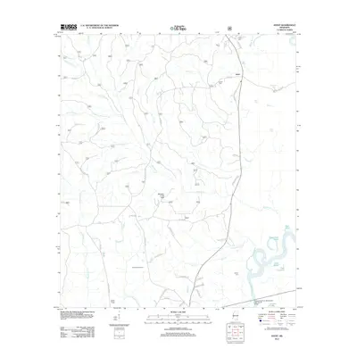 2012 Avent2012 Print · USGSSoutheast Mississippi's piney woods and river bottomlands are captured here in the early twenty-first century. Researchers can locate family landmarks like Pipkin Cem and Mixon-Mizelle Cem, or trace the winding course of the Pascagoula River.
 - 2012 Map of Ovett SE, 2012 Print
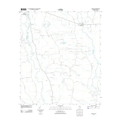 2012 Ovett SE2012 Print · USGSPerry County's rural landscape is captured here in the early twenty-first century, showing a network of creeks and small family cemeteries. Genealogists can locate McGilvary Cem and Courtney Cem near Tallahala Cr and Sportsman Lake.
 - 2012 Map of Janice, 2012 Print
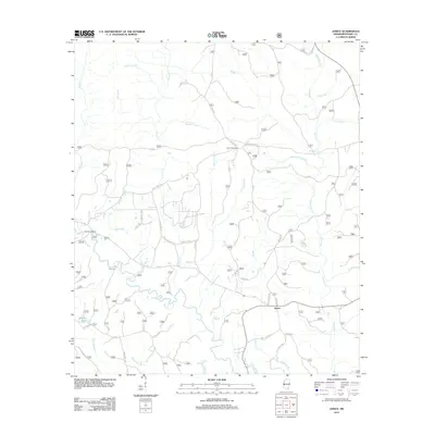 2012 Janice2012 Print · USGSPerry County in the early twenty-first century is defined by the winding Black Cr and the vast forest service road networks. Researchers can trace family history at Mixon Cem or locate rural landmarks like the Paret Fire Tower and Moodys Landing.
 - 2012 Map of McLaurin, 2012 Print
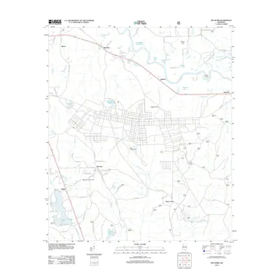 2012 McLaurin2012 Print · USGSThe rural landscapes south of Hattiesburg are captured here during the early 2010s, showing a mix of military aviation and traditional river settlements. Genealogists and local historians can trace family roots through numerous sites like Enon Cem, Hagler Army Airfield, and McLaurin Landing Field.
 - 2012 Map of New Augusta, 2012 Print
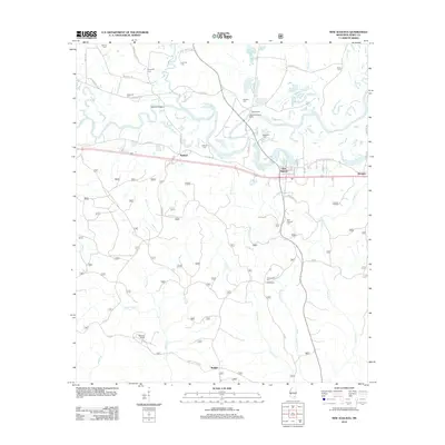 2012 New Augusta2012 Print · USGSPerry County settlements along the Leaf River are documented here in the early twenty-first century. Researchers can trace family history through a high concentration of cemeteries like McSwain Cem and Hollimon Cem, or locate the site of Old Augusta.
 - 2012 Map of Bond Pond, 2012 Print
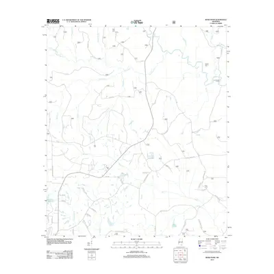 2012 Bond Pond2012 Print · USGSStone County’s forested creek bottoms are captured here during the early twenty-first century, showing a landscape defined by family settlements and water. Genealogists can locate several family burial sites including Howard-Breland Cem and Taylor Cemetery near Bluff Cr.
 - 2012 Map of Barbara, 2012 Print
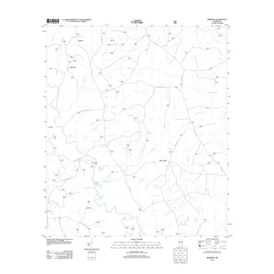 2012 Barbara2012 Print · USGSPerry County's rural creek-bottom lands and timbered ridges are captured here in the early twenty-first century. Genealogists and local historians can locate several family burial sites, including Thomas Cem and O'Neal Cem, or trace the winding course of Black Creek past Fairley Bridge Landing.
 - 2012 Map of Ovett, 2012 Print
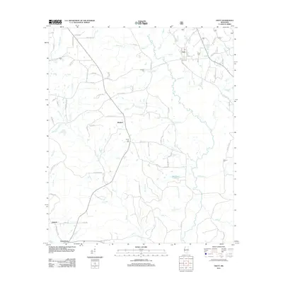 2012 Ovett2012 Print · USGSThe community of Ovett and the surrounding piney woods are documented here during the early twenty-first century. Genealogists and local historians can trace old homestead locations and cemetery sites like County Line Cem, Woodard Cem, and the rural settlement at Whitfield.
 - 2012 Map of Brooklyn, 2012 Print
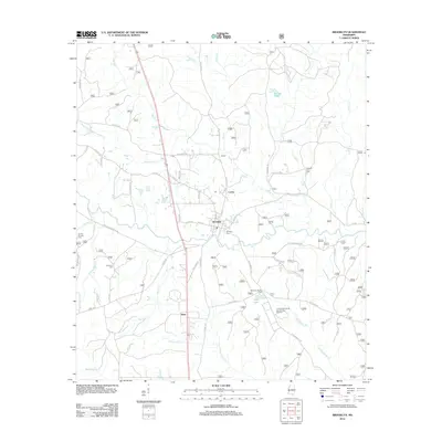 2012 Brooklyn2012 Print · USGSForrest County at the start of the 2010s reveals a landscape of small communities and managed timberlands centered on Brooklyn. Researchers can trace family sites at Anderson Cemetery or explore the Ashe Nursery and Ashe Lake.
 - 2012 Map of Bond, 2012 Print
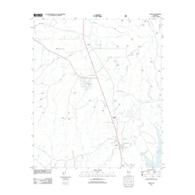 2012 Bond2012 Print · USGSMississippi's piney woods come to life in this survey of the Stone County timber belt during the early 2010s. Researchers can trace the layout of Fruitland Park and Bond or find family history at Saint Paul Cem and the Maxie Gas Field.
 - 2012 Map of Carterville, 2012 Print
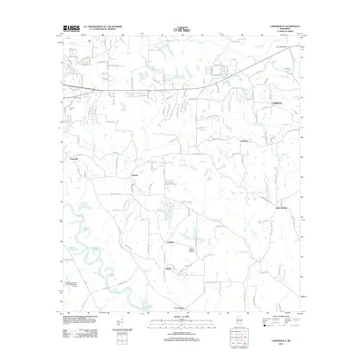 2012 Carterville2012 Print · USGSForrest County at the beginning of the 2010s shows a landscape of growing rural communities and river lowlands. Local historians can trace the development of Carterville, Sunrise, and Corinth, or locate ancestral sites like Grant Cem and Hillcrest Cem.
 - 2012 Map of Barrontown, 2012 Print
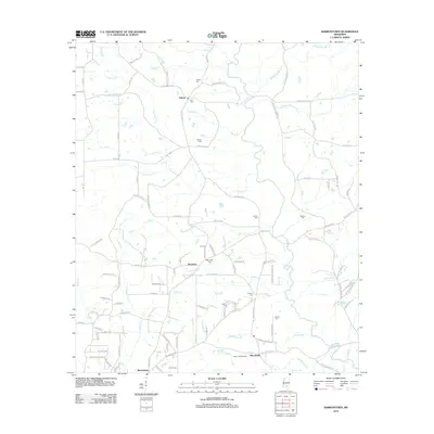 2012 Barrontown2012 Print · USGSEastern Forrest County is captured here in the early 2010s, showing a rural landscape defined by the Tallahala Cr basin and small forest-bound communities. Local historians can trace family roots through several landmarks like Morriston Cem, Barlow Cem, and the Petal Lookout Tower.
 - 2015 Map of Bond Pond, 2015 Print
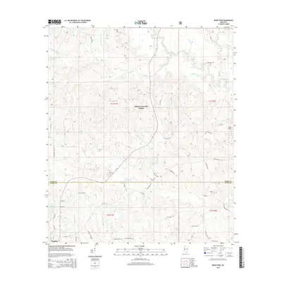 2015 Bond Pond2015 Print · USGSStone and Perry Counties are documented here in the mid-2010s as the Desoto National Forest meets the northern outskirts of Wiggins. Researchers can trace rural lineages through family landmarks like Howard-Breland Cem, Sims Cem, and Taylor Cemetery.
 - 2015 Map of Brewer, 2015 Print
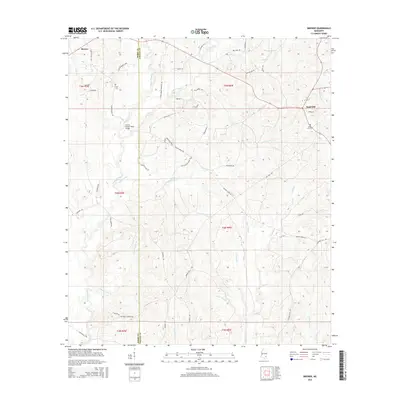 2015 Brewer2015 Print · USGSCrossing the line between Perry and Greene counties in the mid-2010s, this area maintains its rural character through deep creek valleys and timbered ridges. Researchers can locate family landmarks like Frisco Cemetery, Sand Hill Cemetery, and the Gaines Brewer Road Bridge.
 - 2015 Map of Neely, 2015 Print
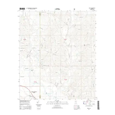 2015 Neely2015 Print · USGSPerry and Greene County come into focus in the mid-2010s, showing a landscape defined by the winding Leaf River and the Desoto National Forest. Genealogists can locate family-named landmarks and several burial sites like Buffalo Cem and Sylvester Cem.
 - 2015 Map of Janice, 2015 Print
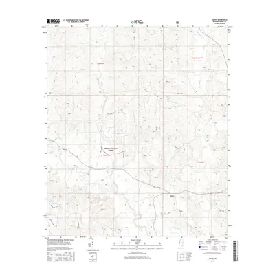 2015 Janice2015 Print · USGSPerry County's piney woods and the Desoto National Forest are shown here as they appeared in the early twenty-first century. Genealogists and local historians can trace the settlement at Janice, locate Mixon Cem, and follow the winding course of Black Creek.
 - 2015 Map of Avent, 2015 Print
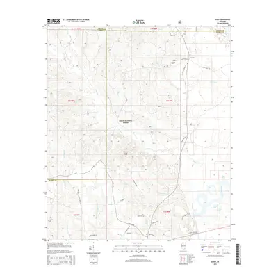 2015 Avent2015 Print · USGSThe borderlands of George and Greene Counties come into focus in the mid-2010s, centered on the Desoto National Forest. Genealogists and local historians can trace family-named sites like Avent, Pipkin Cem, and the winding Pascagoula River lowlands.
Showing maps 1-25 of 60
Top cities of Perry County
Frequently asked questions
- What are the different types of historical maps available for Perry County?
- What is the oldest map of Perry County?
- Where can I purchase historical maps of Perry County for my home or office?
- Where can I download high-res historical maps of Perry County?
- Are there historical topographic maps available for Perry County?
- Is there historical aerial imagery available for Perry County?
- Where are historical maps of Perry County sourced from?