2000s (21st Century) Maps of Perry County, Mississippi
Explore 114 historic maps of Perry County from the 2000s (21st Century). These maps offer a rare glimpse into what life looked like during the 2000s — showing old roads, neighborhoods, homes, and landmarks that have changed or disappeared over time.
Whether you're researching your family's past, planning a metal detecting trip, or studying how Perry County's landscape evolved across the 2000s, these high-resolution maps are a powerful tool for exploring the history of this region.
- Focus on a specific era: All maps on this page are from the 2000s, giving you a focused view of this time period.
- See what’s changed: Compare century-old streets, trails, and buildings to today's modern landscape using overlays and satellite layers.
- Research with precision: Use these maps for genealogy, historical research, land use analysis, or educational projects.
- View, download, or print: Maps are fully viewable online in high resolution, and can be downloaded or printed for your own records.
Start exploring Perry County's history through authentic maps from the 2000s. This is your window into the past.
Perry County, MS maps
(114)- 2000 Map of Bond, 2002 Print
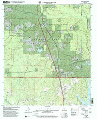 2000 Bond2002 Print · USGSThe piney woods of southern Mississippi are captured here at the start of the millennium, showing a landscape defined by timber and energy. Researchers can locate family landmarks like Batson Cem, the Maxie Lookout Tower, and Fruitland Park.
 - 2000 Map of Ovett, 2002 Print
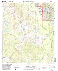 2000 Ovett2002 Print · USGSThe Jones and Perry County borderlands come into focus at the start of the millennium, showing a landscape defined by forest management and oil exploration. Researchers can locate family landmarks like Whitfield Cem, Ovett Cem, and Piney Grove Ch along the winding Bogue Homo.
 - 2000 Map of Bond Pond, 2002 Print
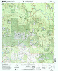 2000 Bond Pond2002 Print · USGSSouthern Mississippi's piney woods and the Black Creek Wilderness are captured here at the end of the twentieth century. Researchers can locate family landmarks and rural congregations like Andrews Chapel, Sims Cem, and Howard-Breland Cem.
 - 2000 Map of Neely, 2002 Print
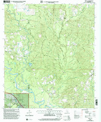 2000 Neely2002 Print · USGSThe Leaf River valley and the eastern edge of the De Soto National Forest are shown here at the start of the 21st century. Genealogists can locate family sites at Sylvester Cem and numerous rural sanctuaries like Arlington Ch and Bolton Chapel.
 - 2000 Map of Mulberry, 2002 Print
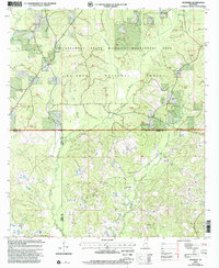 2000 Mulberry2002 Print · USGSAt the meeting of Wayne, Perry, and Greene Counties at the turn of the millennium, this area remains a landscape of managed forests and rural community life. Researchers can trace family roots at Hickory Grove Cem or locate old congregational sites like Union Grove Ch and Pineview Ch.
 - 2000 Map of McLaurin, 2003 Print
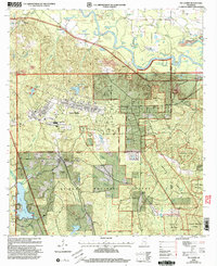 2000 McLaurin2003 Print · USGSForrest and Perry Counties are shown at the turn of the century, shaped by the massive Camp Shelby military reservation. Researchers can trace rural life and service through landmarks like Morning Star Ch, the McLaurin Landing Field, and McKenzie-Myers Cem.
 - 2000 Map of Barbara, 2003 Print
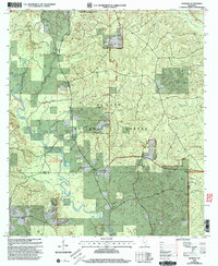 2000 Barbara2003 Print · USGSThe De Soto National Forest comes into focus at the turn of the century as a landscape defined by the winding Black Creek. Researchers can trace family roots through numerous small cemeteries and sites like St Luke Ch, Doctor Lake, and Cochran Cem.
 - 2000 Map of Avent, 2003 Print
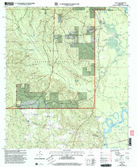 2000 Avent2003 Print · USGSGeorge County's forested uplands and river bottoms are documented here at the turn of the century, showing a landscape defined by the Pascagoula River. Genealogists can trace family roots at Salem Cem and Mixon-Mizelle Cem or locate the old Holly Grove Sch.
 - 2000 Map of Taylor Hill, 2003 Print
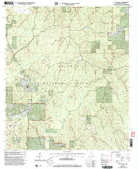 2000 Taylor Hill2003 Print · USGSThe pine forests of Perry County are captured here at the turn of the millennium, showing a landscape of timber management and rural crossroads. Researchers can trace local history through Oak Grove, find family sites like Breland Cem, and locate the Cypress Creek Ch.
 - 2000 Map of Beaumont, 2003 Print
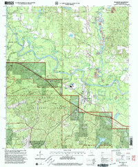 2000 Beaumont2003 Print · USGSSoutheast Mississippi's piney woods and river bottoms come into focus at the turn of the millennium near the Leaf River. Genealogists and local historians can locate rural landmarks like Belton Cem, Union Ch, and the old community of Kittrell.
 - 2000 Map of Brooklyn, 2003 Print
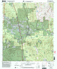 2000 Brooklyn2003 Print · USGSForrest County at the turn of the twenty-first century is defined by its timber heritage and conservation research within the De Soto National Forest. Genealogists and historians can trace local landmarks like Whites Sch, the Forrest County Agricultural Sch, and several rural cemeteries including Granny Bounds Cem.
 - 2000 Map of Janice, 2003 Print
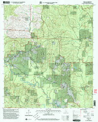 2000 Janice2003 Print · USGSSoutheast Mississippi's pine forests and river bottoms are shown at the turn of the century as the De Soto National Forest and military training grounds expanded. Genealogists and historians can locate Janice, Oak Grove Ch, and Mixon Cem along the winding Black Creek.
 - 2000 Map of McLain, 2003 Print
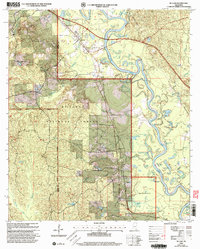 2000 McLain2003 Print · USGSSoutheast Mississippi's river bottomlands are captured here at the turn of the millennium, showing the rural communities of the Piney Woods. Trace family sites like Mt Nebo Cem or Moody Chapel along the banks of the Leaf River and the Illinois Central Gulf rail line.
 - 2000 Map of New Augusta, 2003 Print
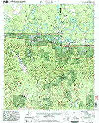 2000 New Augusta2003 Print · USGSPerry County at the turn of the millennium shows the enduring relationship between the Leaf River and the settlements of Old Augusta and New Augusta. Genealogists can trace family names at Ferguson Cem and Hollimon Cem or locate the historic Mahned Ch near the railroad.
 - 2012 Map of Beaumont, 2012 Print
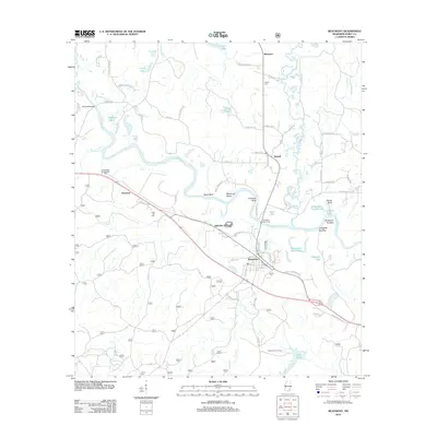 2012 Beaumont2012 Print · USGSThe Leaf River meanders through Perry County in this 2012 survey, revealing a landscape defined by oxbow lakes and rural river landings. Researchers can trace family history at Belton Cem and Hinton Cem or locate industrial landmarks like Hercules Station and the Beaumont Fire Tower.
 - 2012 Map of Richton, 2012 Print
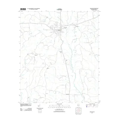 2012 Richton2012 Print · USGSPerry County's rural communities and municipal centers come into focus in the early 2010s, showing the settled landscape of South Mississippi. Researchers can trace family history at the Isaiah Hinton Cem, explore the town of Richton, or locate the McSwain settlement.
 - 2012 Map of McLain, 2012 Print
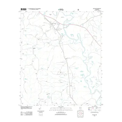 2012 McLain2012 Print · USGSGreene County river country comes to life in the early 2010s, centered on the Leaf River bottomlands. Researchers can trace rural lineages through the McLain Cem and Mount Nebo Cem, or locate landmarks like the Leaf Lookout Tower.
 - 2012 Map of Taylor Hill, 2012 Print
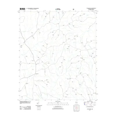 2012 Taylor Hill2012 Print · USGSOak Grove and the surrounding Perry County timberlands are documented here in the early twenty-first century. Genealogists and local historians can locate family landmarks like Herring Cemetery, Ray Green Farm, and the curiously named Deadman Hill.
 - 2012 Map of Brewer, 2012 Print
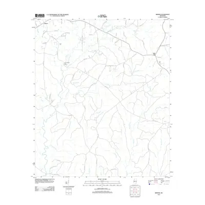 2012 Brewer2012 Print · USGSGreene County crossroads and creek bottoms are documented here in the decade following the turn of the millennium. Local researchers can trace family landmarks like the Gaines Brewer Road Bridge and several cemeteries including Frisco Cem and Sand Hill Cem.
 - 2012 Map of Rhodes, 2012 Print
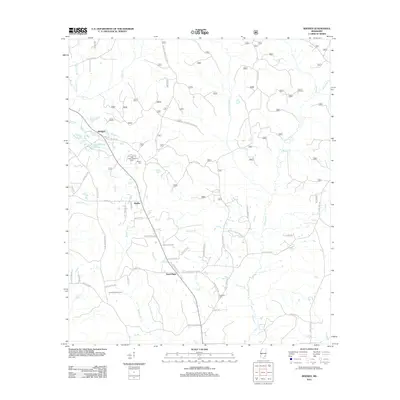 2012 Rhodes2012 Print · USGSJones County at the turn of the century shows a landscape where timber and agriculture meet along the many branches of Tiger Creek. Local historians can trace family roots through landmarks like Edwards Cemetery and the Tiger Creek Lookout Tower.
 - 2012 Map of Mulberry, 2012 Print
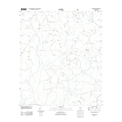 2012 Mulberry2012 Print · USGSSouthern Mississippi's timber and farming country is captured here during the early twenty-first century. Researchers can locate family roots at Mulberry Cem or Mount Zion Cem and trace the paths of Piney Woods Cr and Gunstock Br.
 - 2012 Map of Neely, 2012 Print
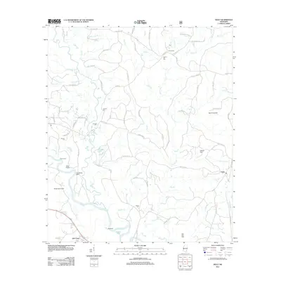 2012 Neely2012 Print · USGSSoutheast Mississippi's timber and river country is captured here during the early twenty-first century. Genealogists and local researchers can trace family landmarks and burial sites like Sylvester Cem and Buffalo Cem near the winding Leaf River.
 - 2012 Map of Avent, 2012 Print
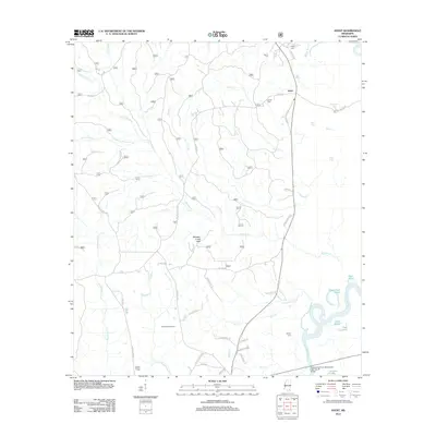 2012 Avent2012 Print · USGSSoutheast Mississippi's piney woods and river bottomlands are captured here in the early twenty-first century. Researchers can locate family landmarks like Pipkin Cem and Mixon-Mizelle Cem, or trace the winding course of the Pascagoula River.
 - 2012 Map of Ovett SE, 2012 Print
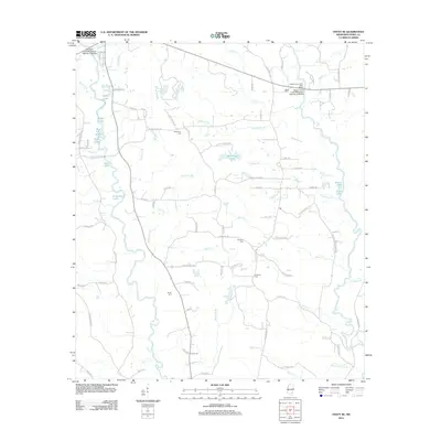 2012 Ovett SE2012 Print · USGSPerry County's rural landscape is captured here in the early twenty-first century, showing a network of creeks and small family cemeteries. Genealogists can locate McGilvary Cem and Courtney Cem near Tallahala Cr and Sportsman Lake.
 - 2012 Map of Janice, 2012 Print
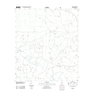 2012 Janice2012 Print · USGSPerry County in the early twenty-first century is defined by the winding Black Cr and the vast forest service road networks. Researchers can trace family history at Mixon Cem or locate rural landmarks like the Paret Fire Tower and Moodys Landing.
Showing maps 1-25 of 114
Top cities of Perry County
Frequently asked questions
- What are the different types of historical maps available for Perry County?
- What is the oldest map of Perry County?
- Where can I purchase historical maps of Perry County for my home or office?
- Where can I download high-res historical maps of Perry County?
- Are there historical topographic maps available for Perry County?
- Is there historical aerial imagery available for Perry County?
- Where are historical maps of Perry County sourced from?