Old Maps of New Augusta, Mississippi for Academic Research
Study the evolution of New Augusta with 24 high-resolution historic maps. Whether you're teaching, researching, or modeling changes in land use, these maps provide essential visual documentation of urban, environmental, and geographic change.
- Analyze long-term change: Track patterns in development, transportation, and natural features.
- Ideal for environmental or urban studies: Support academic projects with primary historical map data.
- Use in the classroom or lab: Educators and researchers rely on these maps to bring historical context to life.
These maps are a powerful tool for teaching, research, and visualizing how New Augusta has changed over the decades.
New Augusta, MS maps
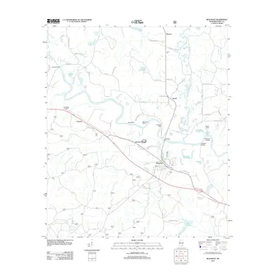
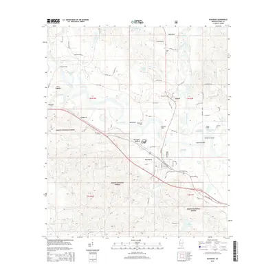
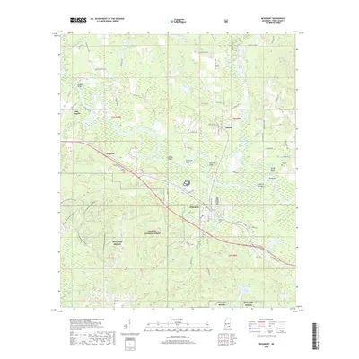
(24)- 1947 Map of Beaumont, 1963 Print
 1947 Beaumont1963 Print · USGSPerry and Greene Counties are shown in the late 1940s, where the winding Leaf River and timber lands meet the De Soto National Forest. Trace family history through landmarks like McSwain Sch, Lott Cem, and the railroad junctions at Beaumont.2 unique versions available
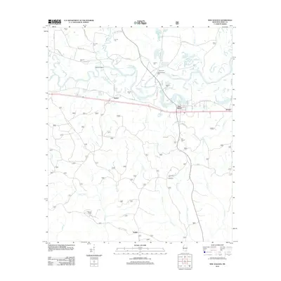
 - 1947 Map of New Augusta, 1965 Print
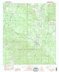
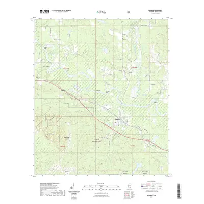
 1947 New Augusta1965 Print · USGSThe mid-century landscape of Perry and Forrest Counties is defined here by the growth of Camp Shelby and the vast De Soto National Forest. Genealogists and historians can trace old family sites like Granny Bounds Cem and vanished landmarks like the abandoned CCC Camp.3 unique versions available
 - 1949 Map of Beaumont
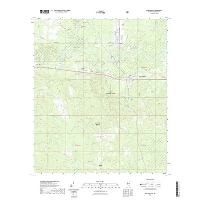
 1949 Beaumont1949 Print · USGSSoutheastern Mississippi timber and rail networks thrive mid-century at the junction of the Leaf River and Gulf Mobile and Ohio railroad. Researchers can locate the Camp Shelby Military Reservation and historic sites like Avent Station and the Lott Cem.2 unique versions available
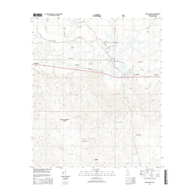
 - 1949 Map of New Augusta
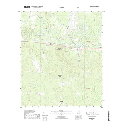
 1949 New Augusta1949 Print · USGSIn the late 1940s, this area of southern Mississippi was defined by the intersection of military training at Camp Shelby and the lush De Soto National Forest. Researchers can trace rural life through landmarks like Old Augusta, McLaurin Landing Field, and the Barett Fire Tower.2 unique versions available
 - 1953 Map of Hattiesburg, 1965 Print
 1953 Hattiesburg1965 Print · USGSSouth Mississippi and western Alabama are shown here during the mid-twentieth century as the timber and rail industries shaped the region. Genealogists and historians can trace rail lines like the Mississippi Central and locate rural centers such as Magee, Richton, and Mount Vernon.4 unique versions available
 - 1958 Map of Hattiesburg
 1958 Hattiesburg1958 Print · USGSSoutheastern Mississippi's timber and rail networks are at their peak during the late fifties, centered on the growing hubs of Hattiesburg and Laurel. Researchers can trace old family landmarks like Sims Chapel, the Busbey Game Refuge, and the vanished stops along the Mississippi Central railroad.2 unique versions available
 - 1982 Map of Beaumont
 1982 Beaumont1982 Print · USGSIn the early eighties, the town of Beaumont served as a vital rail and river crossing within the dense De Soto National Forest. Researchers can trace old family landmarks from Hercules Station and Wingate Bridge to local sites like Batson Cem and Kittrell.2 unique versions available
 - 1983 Map of New Augusta
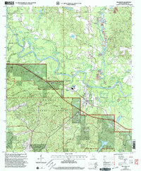
 1983 New Augusta1983 Print · USGSPerry County life in the early eighties centered on the shifting corridor between the Leaf River and the Illinois Central Gulf railroad. Researchers can trace family history through numerous burial sites like Old Augusta and McSwain Cem, or locate the rural Mahned Ch.
 - 1984 Map of Citronelle
 1984 Citronelle1984 Print · USGSThe Alabama-Mississippi borderlands in the mid-1980s were a hub of timber and rail, spanning from the Leaf River to the Mobile County line. Genealogists can trace family roots through rural communities like Sims Chapel, Leakesville, and Vinegar Bend.2 unique versions available
 - 1984 Map of Hattiesburg
 1984 Hattiesburg1984 Print · USGSSouth Mississippi’s Pine Belt is seen here in the mid-eighties, showing the region as a hub of timber production and petroleum extraction. Trace the rail lines of the Illinois Central Gulf RR through old settlements like Richton or the energy developments at the Heidelberg Oil Field.2 unique versions available
 - 1984 Map of Hattiesburg
 1984 Hattiesburg1984 Print · USGSSouth Mississippi’s timber and military heartland comes into focus during the mid-eighties, centering on the hub of Hattiesburg and the winding Pearl River. Researchers can trace the rail lines of the Illinois Central Gulf through old towns like Bassfield and Sumrall, or locate rural landmarks like Society Hill Ch.
 - 1994 Map of Hattiesburg, 1995 Print
 1994 Hattiesburg1995 Print · USGSSouth-central Mississippi's river valleys and timberlands are seen here in the mid-1990s as the region's transport network matured. Researchers can trace rural lineages through sites like Old Pioneer Cem and Spring Cottage or explore the vast Camp Shelby Military Reservation.
 - 2000 Map of Beaumont, 2003 Print
 2000 Beaumont2003 Print · USGSSoutheast Mississippi's piney woods and river bottoms come into focus at the turn of the millennium near the Leaf River. Genealogists and local historians can locate rural landmarks like Belton Cem, Union Ch, and the old community of Kittrell.
 - 2000 Map of New Augusta, 2003 Print
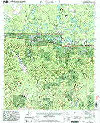 2000 New Augusta2003 Print · USGSPerry County at the turn of the millennium shows the enduring relationship between the Leaf River and the settlements of Old Augusta and New Augusta. Genealogists can trace family names at Ferguson Cem and Hollimon Cem or locate the historic Mahned Ch near the railroad.
 - 2012 Map of Beaumont, 2012 Print
 2012 Beaumont2012 Print · USGSCovers New Augusta, including Beaumont, Kittrell, and other nearby areas
 - 2012 Map of New Augusta, 2012 Print
 2012 New Augusta2012 Print · USGSCovers New Augusta, including Mahned, Redhill, and other nearby areas
 - 2015 Map of New Augusta, 2015 Print
 2015 New Augusta2015 Print · USGSCovers New Augusta, including Mahned, Redhill, and other nearby areas
 - 2015 Map of Beaumont, 2015 Print
 2015 Beaumont2015 Print · USGSCovers New Augusta, including Beaumont, Kittrell, and other nearby areas
 - 2018 Map of Beaumont, 2018 Print
 2018 Beaumont2018 Print · USGSCovers New Augusta, including Beaumont, Kittrell, and other nearby areas
 - 2018 Map of New Augusta, 2018 Print
 2018 New Augusta2018 Print · USGSCovers New Augusta, including Mahned, Redhill, and other nearby areas
 - 2021 Map of Beaumont, 2021 Print
 2021 Beaumont2021 Print · USGSCovers New Augusta, including Beaumont, Kittrell, and other nearby areas
 - 2021 Map of New Augusta, 2021 Print
 2021 New Augusta2021 Print · USGSCovers New Augusta, including Mahned, Redhill, and other nearby areas
 - 2024 Map of New Augusta, 2024 Print
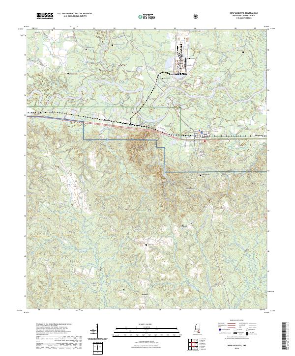 2024 New Augusta2024 Print · USGSPerry County, Mississippi, is shown here in the contemporary era as a landscape defined by its river valleys and vast forest reserves. Researchers can locate family landmarks like Good Hope Cem and Denham Cem or trace the rural road network connecting Mahned and New Augusta.
 - 2024 Map of Beaumont, 2024 Print
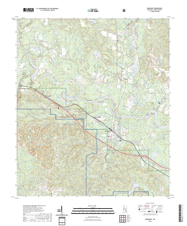 2024 Beaumont2024 Print · USGSPerry County and the Leaf River corridor are captured in this modern survey during a period of continued integration between local towns and the De Soto National Forest. Researchers can trace family-named burial grounds like Hinton Cem and Lott Cem or locate the rural communities of New Augusta, Kittrell, and Beaumont.
End of results
Showing maps 1-24 of 24
Top cities near New Augusta
- Hattiesburg historical maps
- Petal historical maps
- Richton historical maps
- Beaumont historical maps
- McLain historical maps
Frequently asked questions
- What are the different types of historical maps available for New Augusta?
- What is the oldest map of New Augusta?
- Where can I purchase historical maps of New Augusta for my home or office?
- Where can I download high-res historical maps of New Augusta?
- Are there historical topographic maps available for New Augusta?
- Is there historical aerial imagery available for New Augusta?
- Where are historical maps of New Augusta sourced from?