2020s Maps of Sunflower County, Mississippi
Explore 42 historic maps of Sunflower County from the 2020s. These maps offer a rare glimpse into what life looked like during the 2020s — showing old roads, neighborhoods, homes, and landmarks that have changed or disappeared over time.
Whether you're researching your family's past, planning a metal detecting trip, or studying how Sunflower County's landscape evolved across the 2020s, these high-resolution maps are a powerful tool for exploring the history of this region.
- Focus on a specific era: All maps on this page are from the 2020s, giving you a focused view of this time period.
- See what’s changed: Compare century-old streets, trails, and buildings to today's modern landscape using overlays and satellite layers.
- Research with precision: Use these maps for genealogy, historical research, land use analysis, or educational projects.
- View, download, or print: Maps are fully viewable online in high resolution, and can be downloaded or printed for your own records.
Start exploring Sunflower County's history through authentic maps from the 2020s. This is your window into the past.
Sunflower County, MS maps
(42)- 2020 Map of Rome, 2020 Print
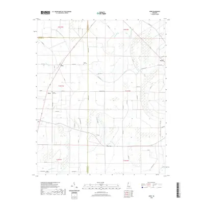 2020 Rome2020 Print · USGSThe Mississippi Delta's intersection of Coahoma, Sunflower, and Tallahatchie counties is captured here in 2020. Researchers can trace rural cemeteries and local family roads such as New Light Cem, Pilgrim Rest Cem, and Rudolph Smith across a landscape defined by Bear Bayou.
 - 2020 Map of Inverness, 2020 Print
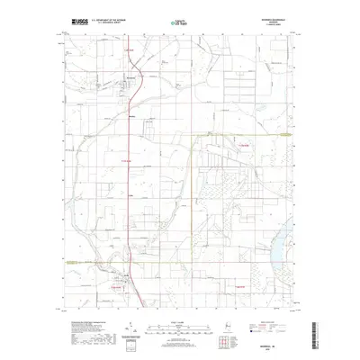 2020 Inverness2020 Print · USGSThe heart of the Mississippi Delta is captured here as it appeared in 2020, centered on the community of Inverness. Local historians can trace family ties at Hickory Grove Cem or follow the natural drainage of Mound Bayou and the shores of Sky Lake.
 - 2020 Map of Moorhead, 2020 Print
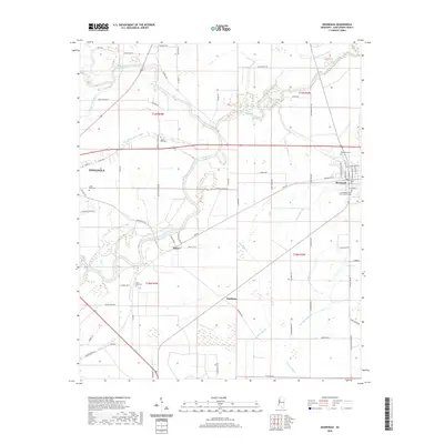 2020 Moorhead2020 Print · USGSSunflower County's agricultural heartland is documented here in the early twenty-first century as the landscape remains tied to its delta bayous and river systems. Researchers can locate established landmarks like Mississippi Delta Community College or trace family roots through rural sites like Little Rock Cem and Saint Pauls Cem.
 - 2020 Map of Rattlesnake Bayou, 2020 Print
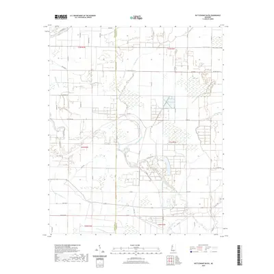 2020 Rattlesnake Bayou2020 Print · USGSLeflore and Sunflower counties in the Mississippi Delta appear in this modern survey, characterized by their intricate drainage systems and agricultural road grids. Genealogists can trace family connections near Cementary Rd or follow the winding courses of Quiver River and Rattlesnake Bayou.
 - 2020 Map of Bear Gut Bayou, 2020 Print
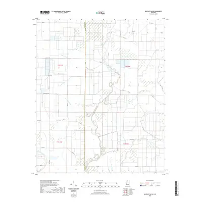 2020 Bear Gut Bayou2020 Print · USGSThe Mississippi Delta at the turn of the decade is defined by its intricate waterways and vast agricultural fields. Local historians can trace family ties at Pleasant Valley Cem or navigate the banks of Howling Wolf Bayou and the Quiver River.
 - 2020 Map of Sunflower, 2020 Print
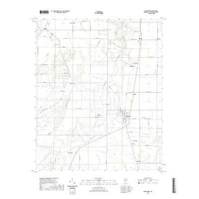 2020 Sunflower2020 Print · USGSThe Mississippi Delta's agricultural heartland is documented here in the early twenty-first century, centered on the community of Sunflower. Genealogists and local historians can locate rural burial sites like Willing Worker Cem and Saint James Cem or trace the winding paths of the Big Sunflower River and Bear Bayou.
 - 2020 Map of Baltzer, 2020 Print
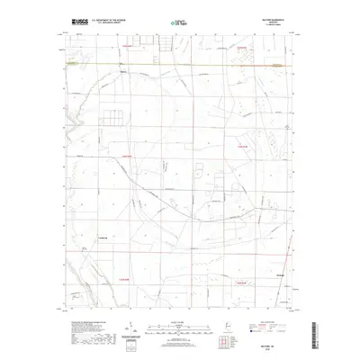 2020 Baltzer2020 Print · USGSThe Sunflower County delta comes into focus in this recent survey of its rural settlements and waterways. Genealogists can trace family connections through local landmarks like Lombardy, Fitzhugh, and the Mount Olive Cem.
 - 2020 Map of Cleveland, 2020 Print
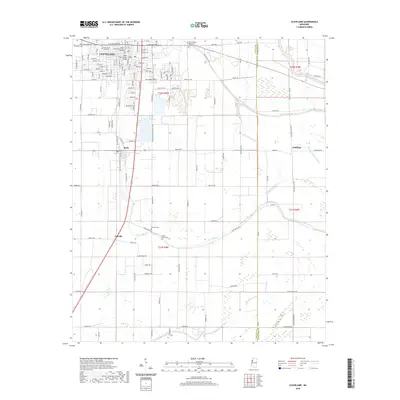 2020 Cleveland2020 Print · USGSThe Mississippi Delta's agricultural heartland is documented here in the early twenty-first century, centered on the growing campus of Delta State University. Researchers can trace local lineage at Chrisman Cem or follow the historic Illinois Central RR corridor through Boyle and O'Reilly.
 - 2020 Map of Ruleville, 2020 Print
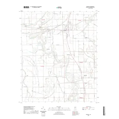 2020 Ruleville2020 Print · USGSSunflower County's alluvial landscape is documented in the modern era as agricultural life continues to center around the Ruleville and Doddsville communities. Local historians can trace old bayou crossings and family burial sites like Lehrton Cem, Hillhouse Cem, and the Old Lehrton Bridge.
 - 2020 Map of Indianola, 2020 Print
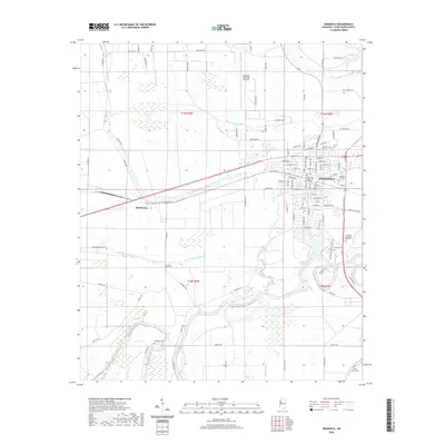 2020 Indianola2020 Print · USGSSunflower County's landscape comes into focus during the early twenty-first century, showing the city of Indianola as it centers the surrounding Delta farmland. Researchers can locate several burial sites including Lakewood Cem and Riverside Cem, or trace the path of the Big Sunflower River.
 - 2020 Map of Holly Ridge, 2020 Print
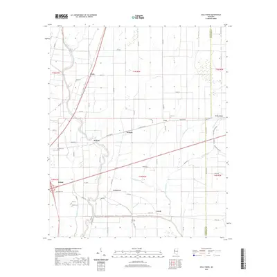 2020 Holly Ridge2020 Print · USGSSunflower and Washington counties appear in this detailed look at the Mississippi Delta's agricultural heartland just before the 2020s. Genealogists and researchers can trace local family landmarks and rural communities like Dunleith, Hollyknowe, and Evening Star Cem.
 - 2020 Map of Drew, 2020 Print
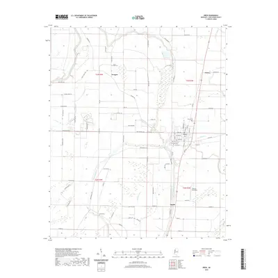 2020 Drew2020 Print · USGSSunflower County, Mississippi, is shown here in the contemporary era as a complex network of bayous and agricultural communities. Researchers can trace local lineage through several burial sites like Sandy Bayou Cem and explore the rural hubs of Whitney and Dwiggins.
 - 2020 Map of Shaw, 2020 Print
 2020 Shaw2020 Print · USGSThe Delta town of Shaw and its surrounding agricultural settlements are depicted here as they appeared in 2020. Local researchers can trace family landmarks and cemeteries such as Mexican Cem, Strangers Rest Cem, and the rural community of Busey.
 - 2020 Map of Kinlock, 2020 Print
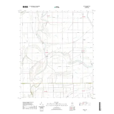 2020 Kinlock2020 Print · USGSThe Mississippi Delta's intricate river-and-bayou landscape is captured here in the contemporary era at the meeting of three counties. Researchers can trace land tracts near Kinlock, locate burial sites at Hickory Bluff Cemetery, and identify the Prentiss Mound earthwork.
 - 2020 Map of Mound Bayou, 2020 Print
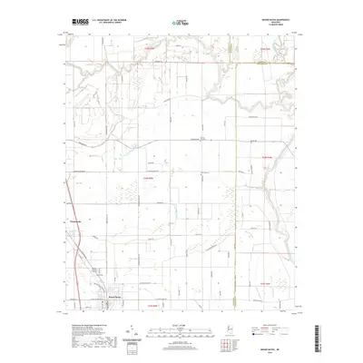 2020 Mound Bayou2020 Print · USGSMound Bayou and Winstonville are documented here in the Mississippi Delta during the early twenty-first century. Genealogists can trace local landmarks and burial sites including Zion Cem, New Hope Cem, and waterways like the Hushpuckena River.
 - 2020 Map of Merigold, 2020 Print
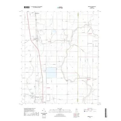 2020 Merigold2020 Print · USGSThe Mississippi Delta's agricultural heartland is documented here in the early twenty-first century, centered on the historic Illinois Central rail corridor. Genealogists can trace legacy sites from Mound Bayou to Cleveland, including Beaver Cem and the Old Cleveland Cem.
 - 2020 Map of Colony Town, 2020 Print
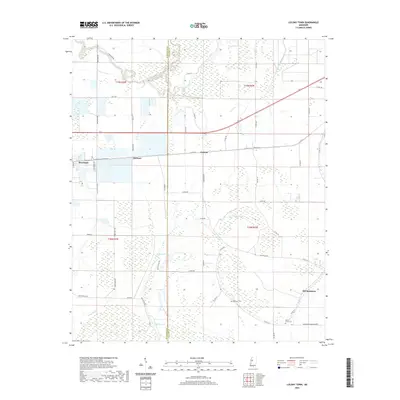 2020 Colony Town2020 Print · USGSSunflower and Leflore County agricultural lands are documented here in the contemporary era, showing the intersection of Delta wetlands and town growth. Researchers can trace family sites near Robinson Cem, the settlement at Colony Town, and the banks of Ellison Lake.
 - 2020 Map of Boyer, 2020 Print
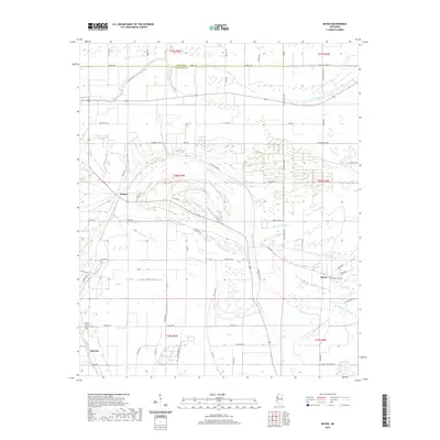 2020 Boyer2020 Print · USGSThe Mississippi Delta's intricate network of bayous and family farms comes into focus during the early twenty-first century. Researchers can trace landownership patterns and local history through landmarks like Boyer Cem, Porter Bayou, and the settlement at Frazier.
 - 2020 Map of Swiftown, 2020 Print
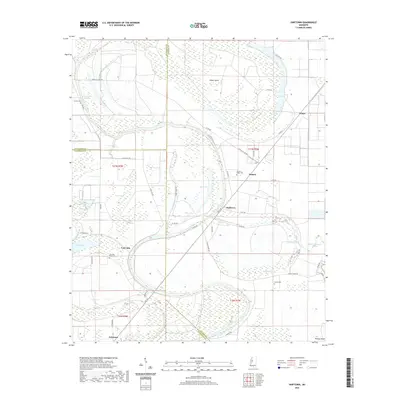 2020 Swiftown2020 Print · USGSThe Yazoo-Mississippi Delta around Swiftown is showcased in this modern survey of the agricultural heartland. Genealogists and historians can locate rural communities like Jaketown and landmarks such as Sky Lake Bend Cem or Bee Lake.
 - 2020 Map of Brooks, 2020 Print
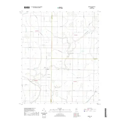 2020 Brooks2020 Print · USGSThe Sunflower County delta comes into focus in the early twenty-first century as a patchwork of bayous and rural crossings. Genealogists and local historians can locate Mount Olive Cem, Saint Marys Cem, and the historic Wade School along the Quiver River.
 - 2020 Map of Tribbett, 2020 Print
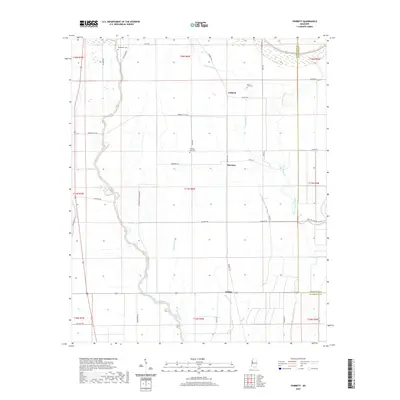 2020 Tribbett2020 Print · USGSThe fertile Mississippi Delta near Bourbon and Tribbett is captured here in a period of modern agricultural continuity. Genealogists can locate family sites at Bethlehem Cem and Mount Zion Cem or trace the winding course of the Bogue Phalia.
 - 2024 Map of Brooks, 2024 Print
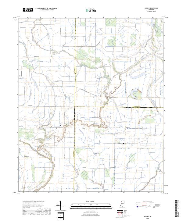 2024 Brooks2024 Print · USGSThe Mississippi Delta landscape comes alive in this 2024 survey of the Brooks area, where the Quiver River winds through Sunflower and Leflore counties. Researchers can trace family roots at Mount Olive Cem or locate the old Wade School site.
 - 2024 Map of Bear Gut Bayou, 2024 Print
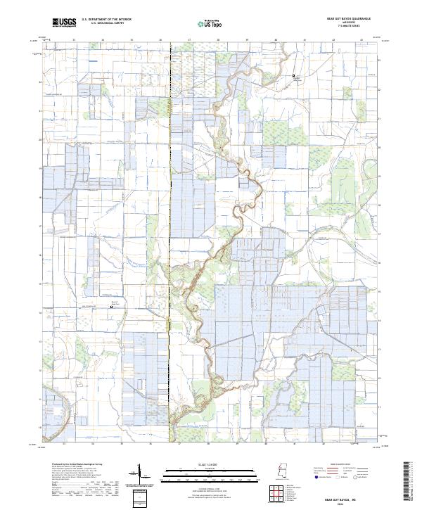 2024 Bear Gut Bayou2024 Print · USGSIn this modern survey of the Sunflower and Leflore county line, the intricate delta landscape is mapped with precision. Trace family sites near Rock of Ages Cem, follow the winding Quiver River, or locate rural landmarks like The Elbow and Pleasant Valley Cem.
 - 2024 Map of Boyer, 2024 Print
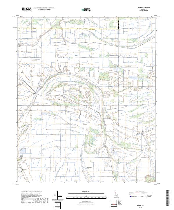 2024 Boyer2024 Print · USGSThe heart of the Mississippi Delta's farm country comes into focus in this contemporary survey of the Sunflower County lowlands. Researchers can trace the layout of family-named roads and rural churchyards like Fairview Methodist Cem and the Boyer Cem near Porter Bayou.
 - 2024 Map of Drew, 2024 Print
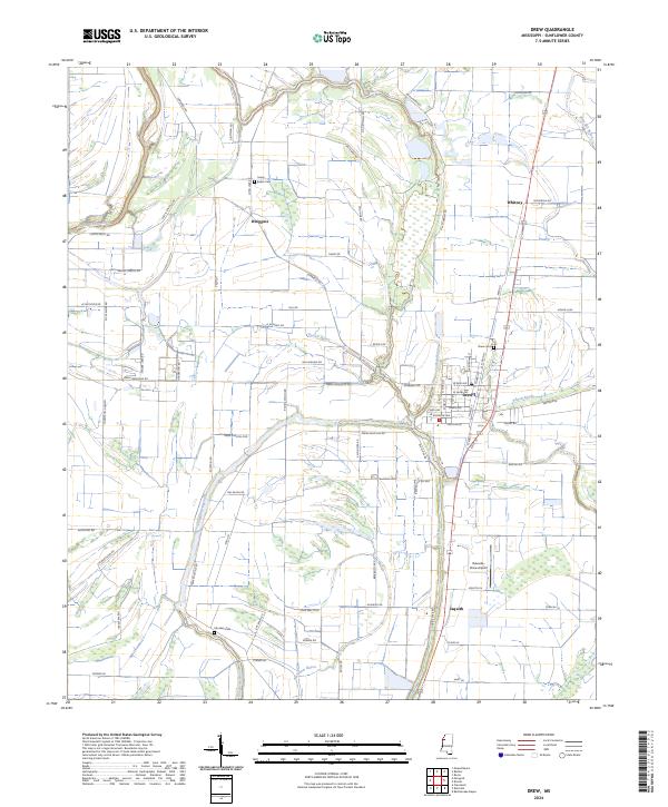 2024 Drew2024 Print · USGSSunflower County in the 2020s remains a landscape defined by its agricultural roots and complex waterways. Genealogists and local historians can trace family land near Drew Cem, the Big Sunflower River, and the small community of Dwiggins.
Showing maps 1-25 of 42
Top cities of Sunflower County
- Indianola historical maps
- Ruleville historical maps
- Moorhead historical maps
- Drew historical maps
- Inverness historical maps
- Sunflower historical maps
See more
Frequently asked questions
- What are the different types of historical maps available for Sunflower County?
- What is the oldest map of Sunflower County?
- Where can I purchase historical maps of Sunflower County for my home or office?
- Where can I download high-res historical maps of Sunflower County?
- Are there historical topographic maps available for Sunflower County?
- Is there historical aerial imagery available for Sunflower County?
- Where are historical maps of Sunflower County sourced from?