Old Maps of Blue Lake, Mississippi for Hiking & Exploration
Hike through history with 14 historic maps of Blue Lake. Explore old trails, ghost towns, and forgotten backroads — perfect for outdoor adventurers and local explorers.
- Rediscover forgotten places: Map out old mining camps, roads, and footpaths that no longer exist on modern maps.
- Layer with modern tools: Combine with LiDAR or satellite views to plan hikes through historical terrain.
- Made for exploration: Popular among hikers, overlanders, and local history lovers.
Use these maps to find adventure and explore the hidden past of Blue Lake.
Blue Lake, MS maps
(14)- 1931 Map of Sumner
 1931 Sumner1931 Print · USGSTallahatchie County in the early thirties is captured here as a landscape of cotton fields and bayous connected by the Yazoo and Mississippi Valley Railroad. Researchers can locate community centers like Glendora and Sumner, or trace family ties to the Brooks-Rosenwald Sch and Indian Mounds.4 unique versions available
 - 1935 Map of Sumner
 1935 Sumner1935 Print · USGSThe Mississippi Delta's intricate river bends and rail towns are captured here in the mid-1930s. Family historians can trace numerous rural sites like Brooks Rosenwald Sch, the State Reservation at Parchman, and the town of Glendora.2 unique versions available
 - 1939 Map of Sumner, 1943 Print
 1939 Sumner1943 Print · USGSTallahatchie County in the late thirties is a landscape of winding river bends and Delta rail towns like Sumner and Glendora. Genealogists and historians can trace numerous rural landmarks, including the Brooks Rosenwald Sch and the ancient Indian Mounds.
 - 1953 Map of Greenwood, 1966 Print
 1953 Greenwood1966 Print · USGSThe Mississippi Delta in the mid-fifties is captured here as a thriving network of river towns, railroads, and oxbow lakes. Researchers can trace the legacy of the Illinois Central Railroad and locate landmarks like the State Penal Farm and Greenville Air Force Base.5 unique versions available
 - 1956 Map of Greenwood
 1956 Greenwood1956 Print · USGSThe Mississippi Delta in the mid-fifties is captured here during a period of significant military and agricultural activity. Researchers can trace the rail lines of the Illinois Central RR, find the Greenville Air Force Base, or locate the State Penal Farm.
 - 1962 Map of Sumner, 1965 Print
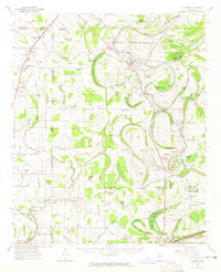 1962 Sumner1965 Print · USGSThe Mississippi Delta in the early sixties remains a landscape of bayous and rails, centered on the Tallahatchie River and its cut-offs. Genealogists can trace family roots through numerous local landmarks like Parchman, Glendora, and the Frierson Chapel.2 unique versions available
 - 1974 Map of Sumner NW, 1975 Print
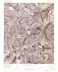 1974 Sumner NW1975 Print · USGSThe Mississippi Delta in the mid-1970s is seen here through an aerial lens, showing a landscape defined by industrial agriculture. Researchers can trace the winding loops of the Quiver River and the rural settlements of Rome and Parchman.2 unique versions available
 - 1983 Map of Greenwood
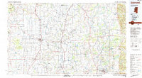 1983 Greenwood1983 Print · USGSThe Mississippi Delta in the early eighties shows a landscape of rail-connected towns and vast river systems. Genealogists and historians can trace family roots in towns like Mound Bayou, Ruleville, and the grounds of Mississippi Valley State University.
 - 1983 Map of Rome, 1984 Print
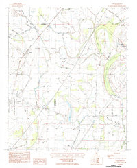 1983 Rome1984 Print · USGSThe Mississippi Delta in the early eighties shows a landscape of river-fed fields and institutional history. Genealogists and historians can trace the foundations of Parchman and local life at Silver Star Church or Ebenezer Cemetery.
 - 2012 Map of Rome, 2012 Print
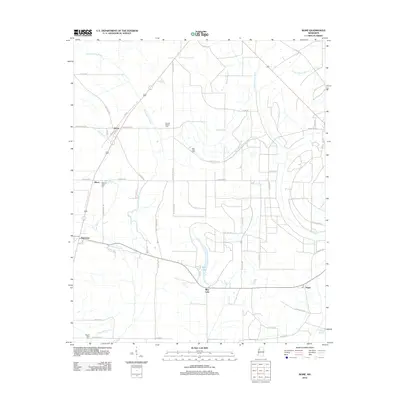 2012 Rome2012 Print · USGSThe Mississippi Delta landscape near Rome and Parchman is captured here in the early twenty-first century. Genealogists and local historians can locate several historic burial sites, including Pilgrim Rest Cem, while tracing the waterways of Blue Lake and Bear Bayou.
 - 2015 Map of Rome, 2015 Print
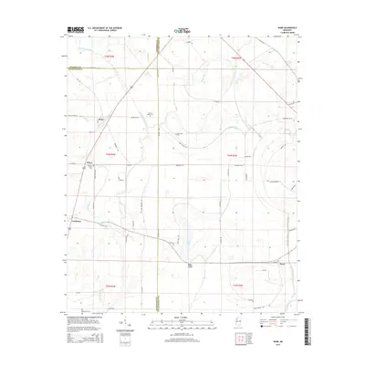 2015 Rome2015 Print · USGSThe fertile Delta country at the intersection of three counties is captured here in the early twenty-first century. Genealogists and local historians can trace family roots at Pleasant Green Cem or follow the waters of Homecypress Bayou past Minot and Rome.
 - 2018 Map of Rome, 2018 Print
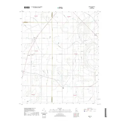 2018 Rome2018 Print · USGSThe Mississippi Delta region near Rome and Sumner is captured here in the late twenty-teens, showing a landscape of bayous and rural crossroads. Genealogists can trace local roots through landmarks like Second Baptist Cem, Pilgrim Rest Cem, and the waters of Blue Lake.
 - 2020 Map of Rome, 2020 Print
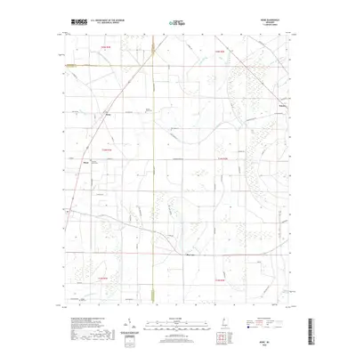 2020 Rome2020 Print · USGSThe Mississippi Delta's intersection of Coahoma, Sunflower, and Tallahatchie counties is captured here in 2020. Researchers can trace rural cemeteries and local family roads such as New Light Cem, Pilgrim Rest Cem, and Rudolph Smith across a landscape defined by Bear Bayou.
 - 2024 Map of Rome, 2024 Print
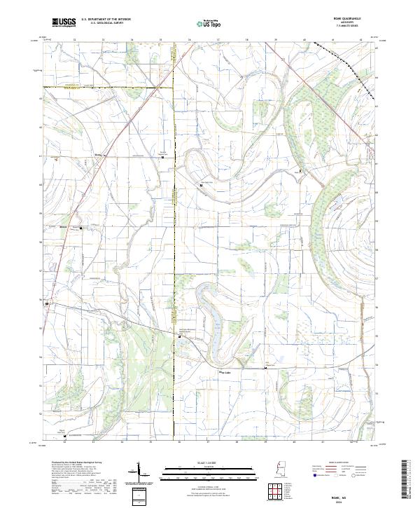 2024 Rome2024 Print · USGSThe Mississippi Delta's agricultural heartland is documented here in the early twenty-first century, highlighting the rural communities of Tallahatchie and Sunflower counties. Genealogists can trace family landmarks like the Saint John Missionary Baptist Church Cem, Hitt Chapel Cem, and the settlement of Rome.
End of results
Showing maps 1-14 of 14
Top cities near Blue Lake
- Ruleville historical maps
- Drew historical maps
- Tutwiler historical maps
- Webb historical maps
- Sumner historical maps
- Glendora historical maps
Frequently asked questions
- What are the different types of historical maps available for Blue Lake?
- What is the oldest map of Blue Lake?
- Where can I purchase historical maps of Blue Lake for my home or office?
- Where can I download high-res historical maps of Blue Lake?
- Are there historical topographic maps available for Blue Lake?
- Is there historical aerial imagery available for Blue Lake?
- Where are historical maps of Blue Lake sourced from?