Old Maps of Charleston, Mississippi for Academic Research
Study the evolution of Charleston with 30 high-resolution historic maps. Whether you're teaching, researching, or modeling changes in land use, these maps provide essential visual documentation of urban, environmental, and geographic change.
- Analyze long-term change: Track patterns in development, transportation, and natural features.
- Ideal for environmental or urban studies: Support academic projects with primary historical map data.
- Use in the classroom or lab: Educators and researchers rely on these maps to bring historical context to life.
These maps are a powerful tool for teaching, research, and visualizing how Charleston has changed over the decades.
Charleston, MS maps
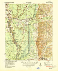
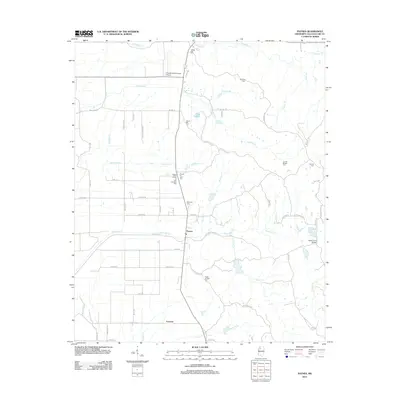
(30)- 1932 Map of Philipp
 1932 Philipp1932 Print · USGSTallahatchie and Grenada counties in the early 1930s show a landscape shaped by river bends and the expansion of the rail network. Genealogists can trace family roots through numerous country schools and churches like Cowart Sch, Rosenwald Sch, and Jorden Hill Cem.4 unique versions available
 - 1935 Map of Crowder
 1935 Crowder1935 Print · USGSThe Mississippi Delta's intricate river systems and rural communities are captured here in the mid-1930s. Researchers can locate vanished landmarks like Dry Bayou Plantation, the Quitman Co Hunting Club, and numerous schools such as Pharsalia Sch.3 unique versions available
 - 1935 Map of Philipp
 1935 Philipp1935 Print · USGSThe Mississippi Delta meets the bluff hills in the 1930s, revealing a landscape of winding bayous and railroad-line settlements. Genealogists can locate family landmarks like the Rosenwald Sch, Paynes Cem, and the river town of Locopolis.2 unique versions available
 - 1939 Map of Crowder, 1943 Print
 1939 Crowder1943 Print · USGSThe Delta lowlands near the Panola and Quitman border are captured here during a period of transition in water management. Researchers can locate vanished rural landmarks like Independence Sch, Oak Grove Ch, and the Quitman Co Hunting Club.
 - 1939 Map of Philipp, 1943 Print
 1939 Philipp1943 Print · USGSThe Tallahatchie River Delta is captured here in the decade before major postwar transformation, showing a landscape defined by bayous and small rural hubs. Local researchers can trace family roots through numerous churches and schools like St Mark Ch, Jones Chapel Sch, and the Tallahat Boy Scout Camp.
 - 1948 Map of Helena
 1948 Helena1948 Print · USGSEastern Arkansas and the Mississippi Delta are captured here just after the war, showing a landscape defined by its great rivers and rail lines. Genealogists can trace family locations near Bemis Plantation, Helena, and smaller rail stops like Wheatley and Moro.
 - 1950 Map of Helena
 1950 Helena1950 Print · USGSMid-century Phillips County and the surrounding Delta region are shown at a peak of rail and river commerce. Genealogists and historians can trace family locations through numerous rural communities like Old Austin, Cotton Plant, and West Helena, or follow the routes of the Missouri Pacific RR across Grand Prairie.2 unique versions available
 - 1953 Map of Greenwood, 1966 Print
 1953 Greenwood1966 Print · USGSThe Mississippi Delta in the mid-fifties is captured here as a thriving network of river towns, railroads, and oxbow lakes. Researchers can trace the legacy of the Illinois Central Railroad and locate landmarks like the State Penal Farm and Greenville Air Force Base.5 unique versions available
 - 1955 Map of Helena, 1967 Print
 1955 Helena1967 Print · USGSThe Arkansas Delta and Mississippi floodplains are captured here in the mid-fifties, during a period of expanding flood control and rail commerce. Researchers can trace the extensive Chicago Rock Island and Pacific RR lines and locate sites like the Arkansas State College Experimental Rice Farm or Friars Point.2 unique versions available
 - 1956 Map of Greenwood
 1956 Greenwood1956 Print · USGSThe Mississippi Delta in the mid-fifties is captured here during a period of significant military and agricultural activity. Researchers can trace the rail lines of the Illinois Central RR, find the Greenville Air Force Base, or locate the State Penal Farm.
 - 1957 Map of Philipp
 1957 Philipp1957 Print · USGSThe Tallahatchie River basin in the mid-fifties is a landscape of river cut-offs and rural crossroads settlements. Genealogists can trace family roots at St. Paul Sch Ch & Cem, Philipp, and the Needmore Cem along the Illinois Central line.3 unique versions available
 - 1959 Map of Helena
 1959 Helena1959 Print · USGSThe Arkansas and Mississippi Delta regions are captured here in the late fifties, showing a landscape defined by the Mississippi River and the Grand Prairie. Genealogists and researchers can trace the rail networks of the Illinois Central RR and locate community landmarks like Helena and the White River National Wildlife Refuge.
 - 1960 Map of Helena
 1960 Helena1960 Print · USGSThe Arkansas and Mississippi Delta regions meet along the great river bends during a period of significant agricultural and rail expansion. Genealogists and historians can trace the paths of the Missouri Pacific railroad through Clarendon or locate landings along the Mississippi River and White River.
 - 1962 Map of Crowder, 1965 Print
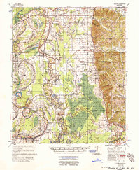
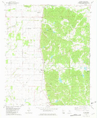
 1962 Crowder1965 Print · USGSThe Mississippi Delta meets the eastern hills in the early sixties, showing a landscape shaped by massive water-management projects and deep family roots. Genealogists can locate Shady Grove Cemetery, Walkers Chapel, and the community of Charleston.3 unique versions available
 - 1974 Map of Philipp NE, 1975 Print
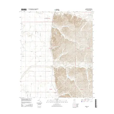
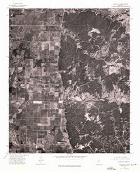 1974 Philipp NE1975 Print · USGSTallahatchie County landscape is revealed in the mid-1970s through this detailed orthophoto study of the Delta's edge. Researchers can trace the layout of agricultural fields and timbered tracts surrounding the settlement of Paynes.
 - 1981 Map of Paynes, 1982 Print
 1981 Paynes1982 Print · USGSIn the early eighties, this pocket of Tallahatchie County shows the rural transition from the flatlands to the hill country. Genealogists can locate family landmarks like Magnolia Cem and Adams Arbor Ch or trace the winding course of Ascalmore Creek.
 - 1982 Map of Charleston, 1983 Print
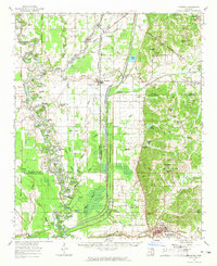
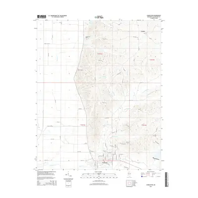
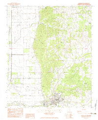 1982 Charleston1983 Print · USGSThe Tallahatchie County hills meet the delta plains in the early eighties, centered on the civic life of Charleston. Researchers can trace the rural infrastructure of the era through sites like Teasdale, Mt Zion Ch, and New Town Cem.
 - 1983 Map of Greenwood
 1983 Greenwood1983 Print · USGSThe Mississippi Delta in the early eighties shows a landscape of rail-connected towns and vast river systems. Genealogists and historians can trace family roots in towns like Mound Bayou, Ruleville, and the grounds of Mississippi Valley State University.
 - 1984 Map of Clarksdale, 1985 Print
 1984 Clarksdale1985 Print · USGSThe Mississippi Delta in the 1980s shows a landscape defined by its great river meanders and a dense network of bayous and rail lines. Researchers can trace the path of the Illinois Central Gulf through Clarksdale or locate river landmarks like Moon Lake and Friars Point.
 - 1990 Map of Clarksdale, 1991 Print
 1990 Clarksdale1991 Print · USGSThe Mississippi Delta in the 1990s remained a landscape of river-driven commerce and small-town resilience. Researchers can trace the path of the Illinois Central Railroad through settlements like Clarksdale, Friars Point, and Alligator.
 - 2012 Map of Charleston, 2012 Print
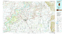
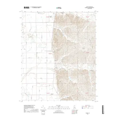
 2012 Charleston2012 Print · USGSCovers Charleston, including Teasdale, Tallahatchie County, and other nearby areas
 - 2012 Map of Paynes, 2012 Print
 2012 Paynes2012 Print · USGSCovers Charleston, including Paynes, Leverett, and other nearby areas
 - 2015 Map of Charleston, 2015 Print
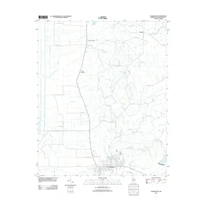
 2015 Charleston2015 Print · USGSCovers Charleston, including Teasdale, Tallahatchie County, and other nearby areas
 - 2015 Map of Paynes, 2015 Print
 2015 Paynes2015 Print · USGSCovers Charleston, including Paynes, Leverett, and other nearby areas
 - 2018 Map of Paynes, 2018 Print
 2018 Paynes2018 Print · USGSCovers Charleston, including Paynes, Leverett, and other nearby areas
Showing maps 1-25 of 30
Top cities near Charleston
Frequently asked questions
- What are the different types of historical maps available for Charleston?
- What is the oldest map of Charleston?
- Where can I purchase historical maps of Charleston for my home or office?
- Where can I download high-res historical maps of Charleston?
- Are there historical topographic maps available for Charleston?
- Is there historical aerial imagery available for Charleston?
- Where are historical maps of Charleston sourced from?