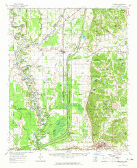
1962 Map of Crowder
USGS Topo · Published 1965About this map
The confluence of the Coldwater River, Tallahatchie River, and Yococona River defines this region of the Mississippi Delta in the early 1960s. These waterways, punctuated by numerous oxbows such as Horseshoe Lake and Croudip Lake, reflect an alluvial landscape where the Panola-Quitman Floodway represents a massive engineering effort to control seasonal inundation. The Illinois Central Railroad cuts a straight line through Crowder, linking the agricultural interior to wider markets. Scattered across the bottomlands are dozens of community landmarks, from Walkers Chapel and Beautiful Zion Church to the Wright School. Traces of much older habitation are preserved at the Indian Mounds located near the Tallahatchie River, while the eastern portion of the map rises into the hills toward Charleston, where the Chickasaw Boundary Line marks a significant historical surveying threshold.
Find a feature on this map
98 named features on this map. Tap any name to fly to it.
Don’t see what you’re looking for? This feature index may not catch every label — zoom into the map to look around manually.
Map Details
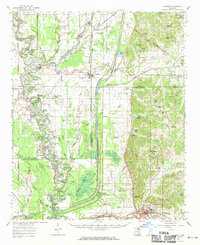
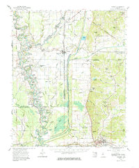
Editions of this 1962 Crowder Map
3 editions found
Other maps of this area

1931 · Sumner
USGS Topo · 1:48,000

1932 · Sledge
USGS Topo · 1:48,000

1932 · Philipp
USGS Topo · 1:48,000

1932 · Tutwiler
USGS Topo · 1:48,000

1932 · Marks
USGS Topo · 1:48,000

1935 · Crowder
USGS Topo · 1:62,500

1935 · Marks
USGS Topo · 1:62,500

1935 · Sumner
USGS Topo · 1:62,500

1935 · Tutwiler
USGS Topo · 1:62,500

1935 · Sledge
USGS Topo · 1:62,500