2010s Maps of Tunica County, Mississippi
Explore 51 historic maps of Tunica County from the 2010s. These maps offer a rare glimpse into what life looked like during the 2010s — showing old roads, neighborhoods, homes, and landmarks that have changed or disappeared over time.
Whether you're researching your family's past, planning a metal detecting trip, or studying how Tunica County's landscape evolved across the 2010s, these high-resolution maps are a powerful tool for exploring the history of this region.
- Focus on a specific era: All maps on this page are from the 2010s, giving you a focused view of this time period.
- See what’s changed: Compare century-old streets, trails, and buildings to today's modern landscape using overlays and satellite layers.
- Research with precision: Use these maps for genealogy, historical research, land use analysis, or educational projects.
- View, download, or print: Maps are fully viewable online in high resolution, and can be downloaded or printed for your own records.
Start exploring Tunica County's history through authentic maps from the 2010s. This is your window into the past.
Tunica County, MS maps
(51)- 2011 Map of Hughes, 2011 Print
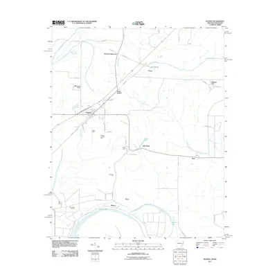 2011 Hughes2011 Print · USGSEastern Arkansas at the turn of the decade reveals a landscape of large-scale farming and bayou drainage centered on Hughes. Researchers can trace old family holdings like Davis Biggs Farm and Belle Meade or locate historical sites such as Saint Marys Cemetery.
 - 2011 Map of Tunica, 2011 Print
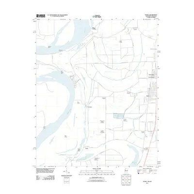 2011 Tunica2011 Print · USGSTunica County at the start of the twenty-first century shows a landscape defined by the Mississippi River and a specialized aquaculture economy. Researchers can trace family roots at Mount Nebo Cemetery or explore the settlements of Austin and Evansville.
 - 2011 Map of Brickeys, 2011 Print
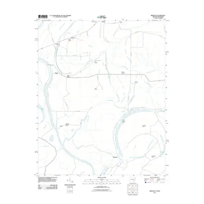 2011 Brickeys2011 Print · USGSThe Lee County riverlands in the early twenty-first century are mapped here as a network of bayous and alluvial farms. Researchers can trace family history through numerous rural burial grounds like Jackson Cemetery and Terrell Cemetery, or locate old community centers like Park Place and Whitehall.
 - 2011 Map of Robinsonville, 2011 Print
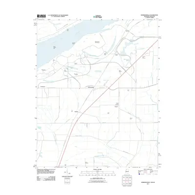 2011 Robinsonville2011 Print · USGSTunica County at the start of the 2010s reveals a unique intersection of modern gaming resorts and traditional Delta farm life. Researchers can trace ancestral sites at Saint Peters Cemetery or locate family tracts like Erwin Company Farm and Bowdre.
 - 2011 Map of Moon Lake, 2011 Print
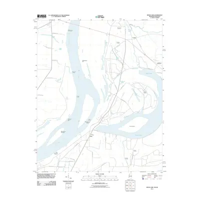 2011 Moon Lake2011 Print · USGSThe Mississippi River borderlands are captured here in the early twenty-first century as the river winds past the Arkansas shore. Genealogists and researchers can locate family landmarks like Mount Nebo Cemetery or trace the old landings at Fitzhugh Landing and Stokes Landing.
 - 2011 Map of Stubbs Island, 2011 Print
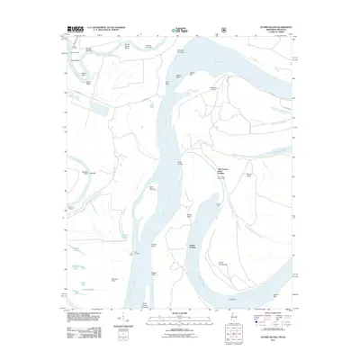 2011 Stubbs Island2011 Print · USGSThe Arkansas-Mississippi borderlands appear as a complex network of river channels and landings in the early twenty-first century. Genealogists and local historians can trace riverfront landmarks like Saint Francis Island Landing, Blue Point Landing, and the seasonal Tate Lodge.
 - 2011 Map of Helena, 2011 Print
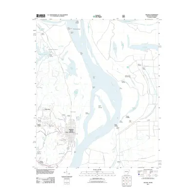 2011 Helena2011 Print · USGSThe Arkansas delta and the Mississippi riverfront are captured here in 2011, showing the modern urban core of Helena. Genealogists can trace family sites at Magnolia Cemetery and Pilgrim Rest Cemetery, while river historians can locate Trotter Landing and Prairie Point.
 - 2011 Map of Council, 2011 Print
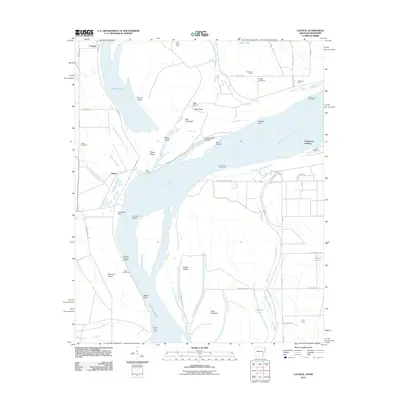 2011 Council2011 Print · USGSThe Arkansas-Mississippi borderlands along the great river are captured here in the early 21st century. Genealogists and local historians can trace family-named sites like Blue Point Farm, Happy Cemetery, and the historic river access at Commerce Landing.
 - 2012 Map of Crenshaw North, 2012 Print
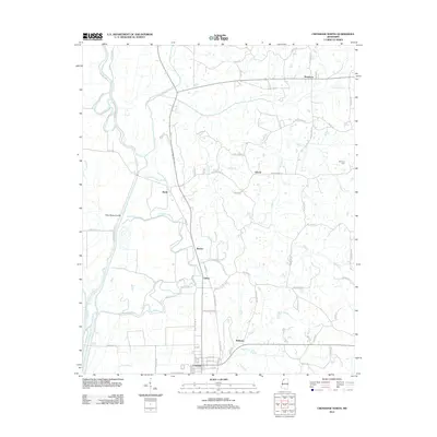 2012 Crenshaw North2012 Print · USGSNorthwest Mississippi’s delta edge comes to life in this survey from the early 2010s, capturing a landscape of winding bayous and rural crossroads. Researchers can trace local lineage near Strayhorn, find the Harmony Cem, and map the paths around Sarah and Askew.
 - 2012 Map of Walnut Lake, 2012 Print
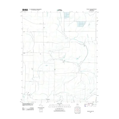 2012 Walnut Lake2012 Print · USGSThe Mississippi Delta landscape comes alive in this modern survey, showing a rural network of bayous and family cemeteries. Trace local history through markers like Gerlach Mill, Daygo Cem, and the winding path of White Oak Bayou.
 - 2012 Map of Moon Lake, 2012 Print
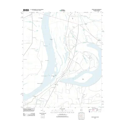 2012 Moon Lake2012 Print · USGSThe Mississippi River delta near the Arkansas-Mississippi border remains a landscape of oxbows and river landings in the early twenty-first century. Genealogists and researchers can locate rural burial grounds like Montroy Cem and Fredonia Cem or trace riverfront history at Stokes Landing and Gunhouse Chute.
 - 2012 Map of Robinsonville, 2012 Print
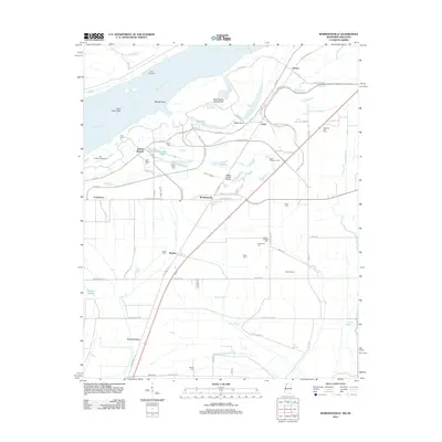 2012 Robinsonville2012 Print · USGSThe Mississippi Delta in Tunica County is shown here in the early twenty-first century as gaming and tourism reshaped the riverfront. Researchers can trace family history through sites like Saint Peters Cem and landmarks such as Penton, Bowdre, and Hollywood Brake.
 - 2012 Map of Hollywood, 2012 Print
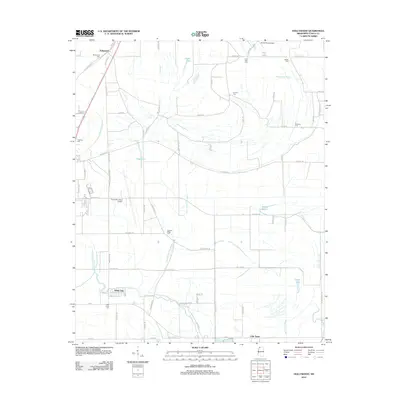 2012 Hollywood2012 Print · USGSTunica County in the early twenty-first century remains a landscape of deep-rooted rural communities and Delta bayous. Genealogists and local historians can locate several family and community burial sites like Belmont Cem and Pleasant Ridge Cem near the settlements of Hollywood and White Oak.
 - 2012 Map of Arkabutla West, 2012 Print
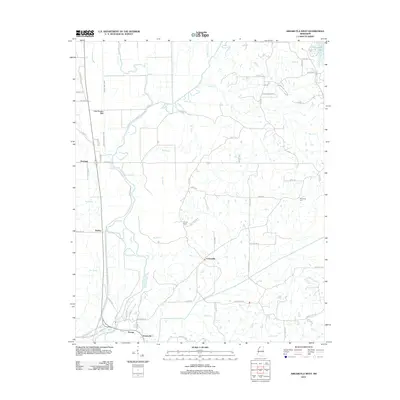 2012 Arkabutla West2012 Print · USGSTate County and the surrounding bottomlands are captured in the early 2010s, showing a landscape defined by the Coldwater River and its massive levee system. Researchers can trace local history through settlements like Savage, Cottonville, and the Arkabutla Cem.
 - 2012 Map of Lula, 2012 Print
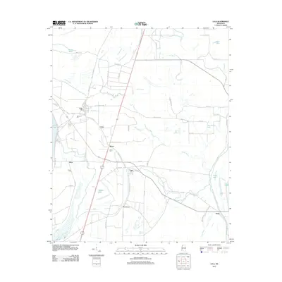 2012 Lula2012 Print · USGSThe Mississippi Delta's intricate network of bayous and passes is captured here during the early 21st century. Genealogists can locate family landmarks like Bethlehem Cem and Hull Cem near the small settlements of Lula, Rich, and Roseacres.
 - 2012 Map of Falcon, 2012 Print
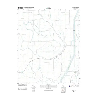 2012 Falcon2012 Print · USGSThe Mississippi Delta landscape near Falcon comes into focus in the early twenty-first century, showing a region defined by river management and agricultural heritage. Researchers can trace historical routes like Railroad Ave or locate local landmarks such as Neels Ferry and Graveyard Rd.
 - 2012 Map of Dundee, 2012 Print
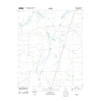 2012 Dundee2012 Print · USGSTunica County at the start of the 2010s shows a landscape of deep delta roots and winding bayous. Genealogists and local historians can trace small communities like Dundee and Maud alongside historic burial sites such as Mount Sinia Cem and Rising Sun Cem.
 - 2012 Map of Tunica, 2012 Print
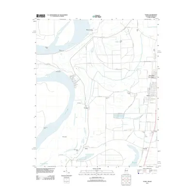 2012 Tunica2012 Print · USGSThe Mississippi Delta in the early twenty-first century remains a landscape defined by the river's historic shifts and oxbow lakes. Genealogists can trace family footprints across numerous local burial grounds such as Oakwood Cem and Mount Nebo Cem near the town of Tunica.
 - 2012 Map of Banks, 2012 Print
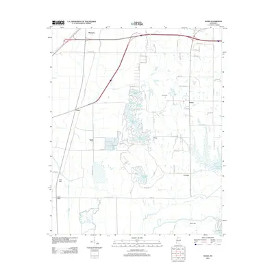 2012 Banks2012 Print · USGSIn the decade after the turn of the millennium, this portion of DeSoto County shows a landscape of modern lakeside developments and ancient bayous. Researchers can trace the drainage of the Big Six Ditch or find family landmarks like Pratt Bridge and Camp Currier.
 - 2014 Map of Hughes, 2014 Print
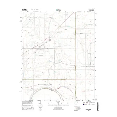 2014 Hughes2014 Print · USGSHughes and the St. Francis County bottomlands are documented here in the early twenty-first century as the region maintains its deep agricultural roots. Researchers can trace local landmarks and family-named roads near Saint Marys Cem, Tucker Field Airport, and Belle Meade.
 - 2014 Map of Helena, 2014 Print
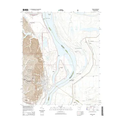 2014 Helena2014 Print · USGSThe Arkansas Delta meets the great river in the mid-2010s, showing the city of Helena-West Helena positioned between the forest and the floodplains. Researchers can trace local history through numerous sites like Maple Hill Cem, Trotter Landing, and the Phillips Community College.
 - 2014 Map of Brickeys, 2014 Print
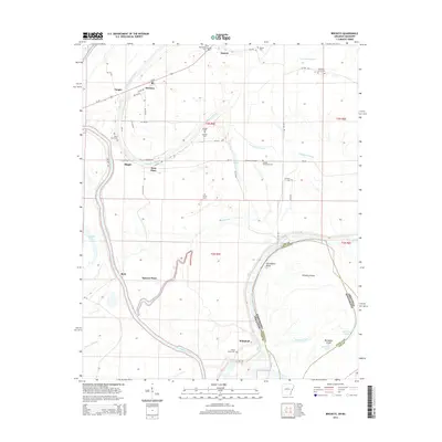 2014 Brickeys2014 Print · USGSLee County, Arkansas, and the Mississippi state line are captured here in the early twenty-first century as a landscape of bayous and river bends. Researchers can trace local history through numerous rural burial sites like Bethlehem Cem and Greater Jerusalem Cem or the settlement at Brickeys.
 - 2014 Map of Council, 2014 Print
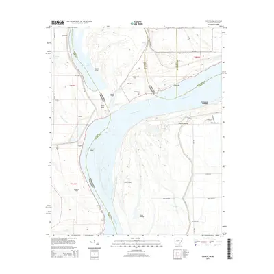 2014 Council2014 Print · USGSThe Mississippi River Delta comes alive in this contemporary survey of the borderlands between Arkansas and Mississippi. Genealogists and local historians can trace family roots near Council, Peters, and Commerce, or locate rural burial grounds at Peters Cem and Happy Cem.
 - 2015 Map of Hollywood, 2015 Print
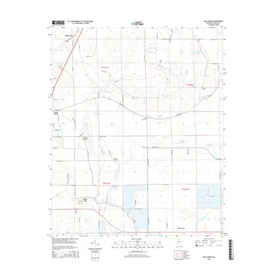 2015 Hollywood2015 Print · USGSTunica County at the start of the twenty-first century reveals a landscape shaped by the Mississippi Delta's winding bayous and scattered rural communities. Genealogists can locate family landmarks like Macedonia Cem and Oak Grove Cem or trace the routes through Hollywood and White Oak.
 - 2015 Map of Dundee, 2015 Print
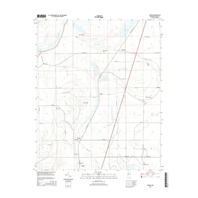 2015 Dundee2015 Print · USGSTunica County at the start of the twenty-first century reflects a deep agricultural heritage shaped by the Yazoo Delta bayous. Researchers can locate family cemeteries like Mount Olive Cem and Rising Sun Cem alongside rural hubs such as Dundee and Maud.
Showing maps 1-25 of 51
Top cities of Tunica County
Frequently asked questions
- What are the different types of historical maps available for Tunica County?
- What is the oldest map of Tunica County?
- Where can I purchase historical maps of Tunica County for my home or office?
- Where can I download high-res historical maps of Tunica County?
- Are there historical topographic maps available for Tunica County?
- Is there historical aerial imagery available for Tunica County?
- Where are historical maps of Tunica County sourced from?