2020s Maps of Tunica County, Mississippi
Explore 32 historic maps of Tunica County from the 2020s. These maps offer a rare glimpse into what life looked like during the 2020s — showing old roads, neighborhoods, homes, and landmarks that have changed or disappeared over time.
Whether you're researching your family's past, planning a metal detecting trip, or studying how Tunica County's landscape evolved across the 2020s, these high-resolution maps are a powerful tool for exploring the history of this region.
- Focus on a specific era: All maps on this page are from the 2020s, giving you a focused view of this time period.
- See what’s changed: Compare century-old streets, trails, and buildings to today's modern landscape using overlays and satellite layers.
- Research with precision: Use these maps for genealogy, historical research, land use analysis, or educational projects.
- View, download, or print: Maps are fully viewable online in high resolution, and can be downloaded or printed for your own records.
Start exploring Tunica County's history through authentic maps from the 2020s. This is your window into the past.
Tunica County, MS maps
(32)- 2020 Map of Council, 2020 Print
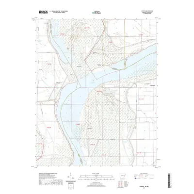 2020 Council2020 Print · USGSCovers Tunica County, including Council, Peters, and other nearby areas
 - 2020 Map of Hughes, 2020 Print
 2020 Hughes2020 Print · USGSCovers Tunica County, including Hughes, North Hughes, and other nearby areas
 - 2020 Map of Helena, 2020 Print
 2020 Helena2020 Print · USGSCovers Tunica County, including Helena-West Helena, Eagle Landing, and other nearby areas
 - 2020 Map of Brickeys, 2020 Print
 2020 Brickeys2020 Print · USGSCovers Tunica County, including Raggio, Whitehall, and other nearby areas
 - 2020 Map of Arkabutla West, 2020 Print
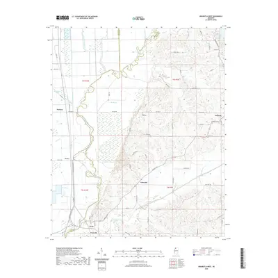 2020 Arkabutla West2020 Print · USGSCovers Tunica County, including Evansville, Cottonville, and other nearby areas
 - 2020 Map of Crenshaw North, 2020 Print
 2020 Crenshaw North2020 Print · USGSCovers Tunica County, including KJirksey, Buxton, and other nearby areas
 - 2020 Map of Lula, 2020 Print
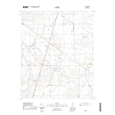 2020 Lula2020 Print · USGSCovers Tunica County, including Lula, Barbee, and other nearby areas
 - 2020 Map of Robinsonville, 2020 Print
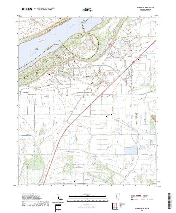
 2020 Robinsonville2020 Print · USGSCovers Tunica County, including Bowdre, Commerce, and other nearby areas
 - 2020 Map of Dundee, 2020 Print
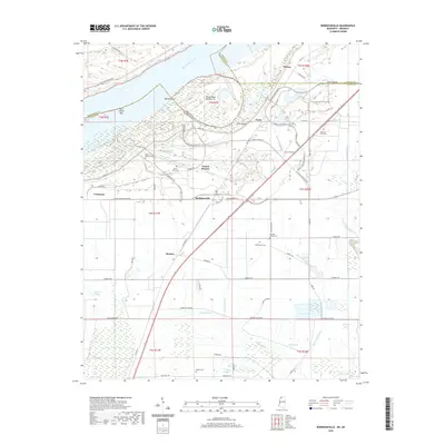
 2020 Dundee2020 Print · USGSCovers Tunica County, including Maud, Dundee, and other nearby areas
 - 2020 Map of Hollywood, 2020 Print
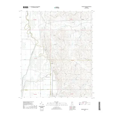
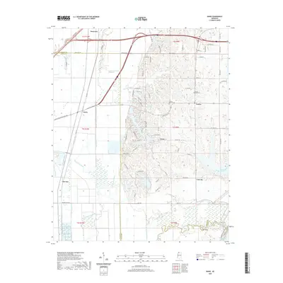
 2020 Hollywood2020 Print · USGSCovers Tunica County, including Tunica, White Oak, and other nearby areas
 - 2020 Map of Falcon, 2020 Print
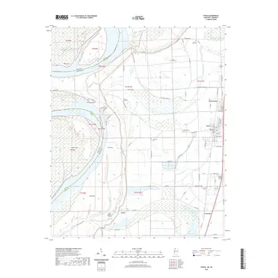
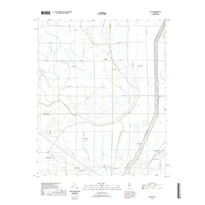 2020 Falcon2020 Print · USGSCovers Tunica County, including Falcon, Tibbs, and other nearby areas
 - 2020 Map of Banks, 2020 Print
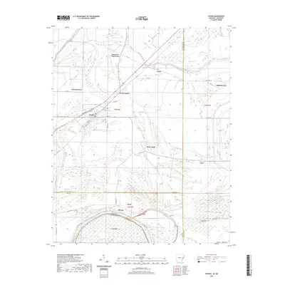
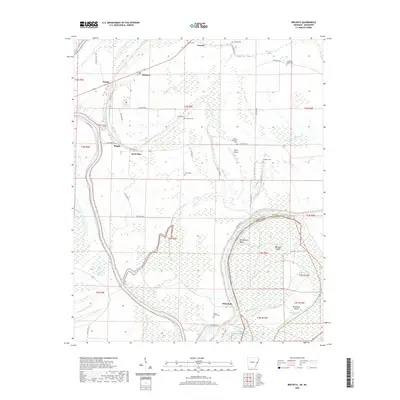
 2020 Banks2020 Print · USGSCovers Tunica County, including Marienette, Eudora, and other nearby areas
 - 2020 Map of Moon Lake, 2020 Print
 2020 Moon Lake2020 Print · USGSCovers Tunica County, including Helena-West Helena, Delta, and other nearby areas
 - 2020 Map of Tunica, 2020 Print
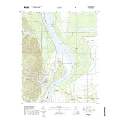
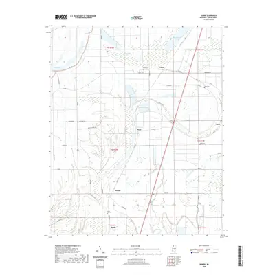
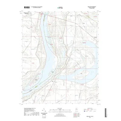
 2020 Tunica2020 Print · USGSCovers Tunica County, including Tunica, Austin, and other nearby areas
 - 2020 Map of Walnut Lake, 2020 Print
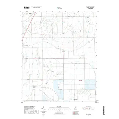
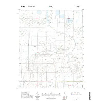 2020 Walnut Lake2020 Print · USGSCovers Tunica County, including Dubbs, Pink, and other nearby areas
 - 2021 Map of Stubbs Island, 2021 Print
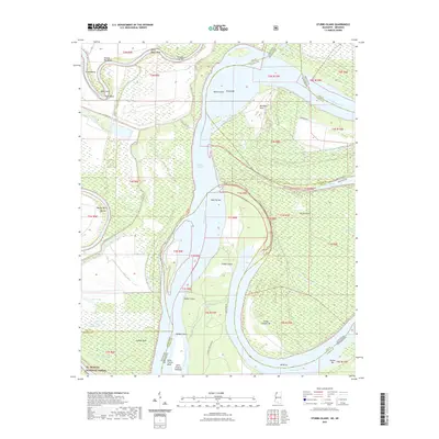 2021 Stubbs Island2021 Print · USGSCovers Tunica County, including Saint Francis Island Landing, Harbert Landing, and other nearby areas
 - 2024 Map of Hughes, 2024 Print
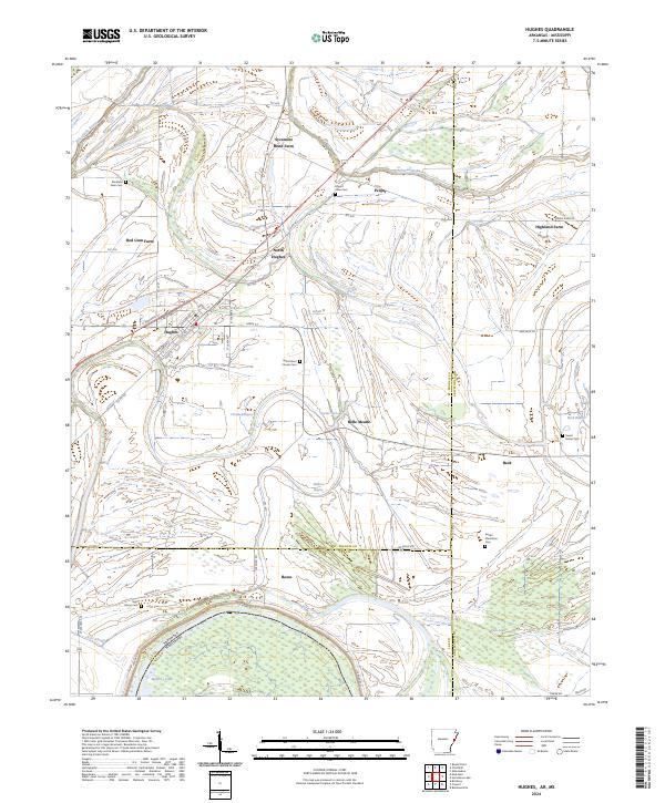 2024 Hughes2024 Print · USGSThe Delta country around St. Francis County comes into focus in this recent survey of the Arkansas-Mississippi borderlands. Family researchers can pinpoint numerous local burial grounds including Saint Marys Cem and Stoddard Farm Cem or trace the drainage of Fifteenmile Bayou.
 - 2024 Map of Council, 2024 Print
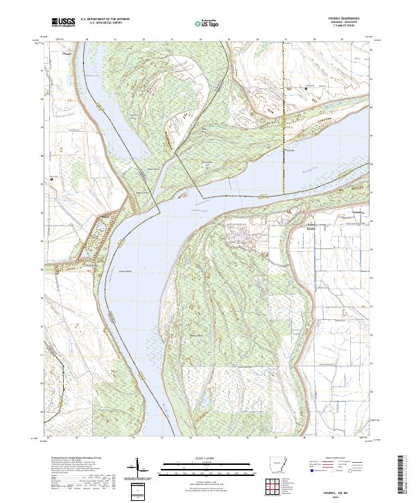 2024 Council2024 Print · USGSThe Mississippi River delta in the early 2020s reveals a complex network of meander cutoffs and riverfront settlements spanning the Lee and Tunica county lines. Trace local history through the Peters Cem, the community of Council, and the winding Commerce Cut Off.
 - 2024 Map of Moon Lake, 2024 Print
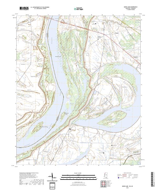 2024 Moon Lake2024 Print · USGSThe Mississippi River floodplain comes into sharp focus here in 2024, showing the intricate relationship between the river and the delta landscape. Researchers can locate several burial grounds like Delta Cem and Fredonia Cem, or trace landmarks like Alcorn Island.
 - 2024 Map of Lula, 2024 Print
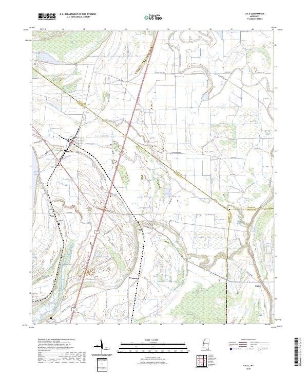 2024 Lula2024 Print · USGSThe Mississippi Delta near Lula is shown here in the 2020s, highlighting the enduring agricultural grid and river-fed bayous. Genealogists can trace local roots at Bethlehem Cem or Barbee Cem, and follow the historic Yazoo Pass through to Moon Lake.
 - 2024 Map of Robinsonville, 2024 Print
 2024 Robinsonville2024 Print · USGSNorthwestern Mississippi comes into focus in this modern era, showing where the river's path meets the rise of large-scale resort development. Researchers can find numerous family and community burial sites like Rainey Cem and Johnson Chapel Cem near Robinsonville.
 - 2024 Map of Helena, 2024 Print
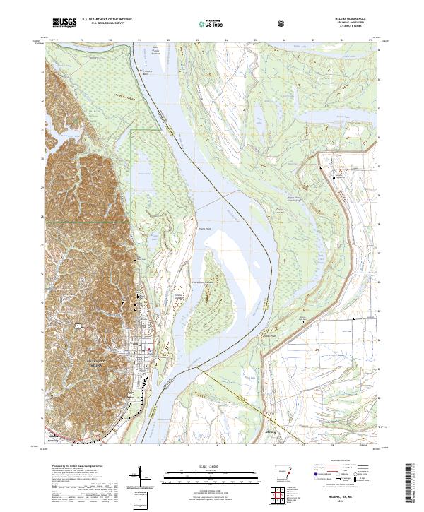 2024 Helena2024 Print · USGSThe Mississippi River Delta comes into sharp focus during the 2020s, showing the complex riverbanks of the Arkansas and Mississippi border. Researchers can locate numerous family and historic burial sites like Confederate Cem and trace the landscape around Prairie Point.
 - 2024 Map of Brickeys, 2024 Print
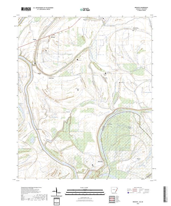 2024 Brickeys2024 Print · USGSEastern Arkansas and the Mississippi border come alive in this survey of the river country during the early 2020s. Trace local family history through Ward Farm Cem or locate the historic river crossing at Red Oak Ferry near Whitehall.
 - 2024 Map of Walnut Lake, 2024 Print
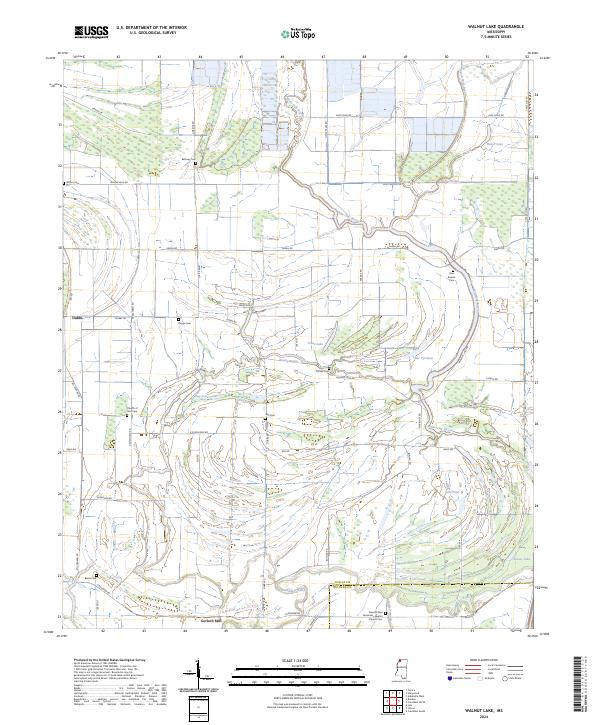 2024 Walnut Lake2024 Print · USGSTunica County in the early 2020s remains defined by its complex network of bayous and rural family settlements. Researchers can trace local history through numerous burial sites like Bethany Cem and centers of community life such as Gerlach Mill and Dubbs.
 - 2024 Map of Crenshaw North, 2024 Print
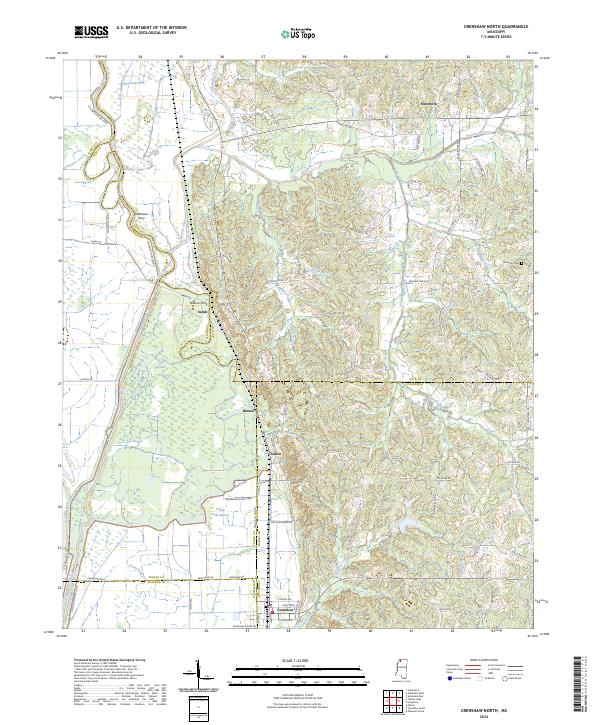 2024 Crenshaw North2024 Print · USGSIn this contemporary look at the Tate and Panola County borders, the Coldwater River floodplain remains the dominant geographic force. Researchers can trace rural settlement patterns through communities like Crenshaw and Sarah, or locate historic crossing points at Browns Ferry and Matthews Ferry.
Showing maps 1-25 of 32
Top cities of Tunica County
Frequently asked questions
- What are the different types of historical maps available for Tunica County?
- What is the oldest map of Tunica County?
- Where can I purchase historical maps of Tunica County for my home or office?
- Where can I download high-res historical maps of Tunica County?
- Are there historical topographic maps available for Tunica County?
- Is there historical aerial imagery available for Tunica County?
- Where are historical maps of Tunica County sourced from?