2000s (21st Century) Maps of Yazoo County, Mississippi
Explore 139 historic maps of Yazoo County from the 2000s (21st Century). These maps offer a rare glimpse into what life looked like during the 2000s — showing old roads, neighborhoods, homes, and landmarks that have changed or disappeared over time.
Whether you're researching your family's past, planning a metal detecting trip, or studying how Yazoo County's landscape evolved across the 2000s, these high-resolution maps are a powerful tool for exploring the history of this region.
- Focus on a specific era: All maps on this page are from the 2000s, giving you a focused view of this time period.
- See what’s changed: Compare century-old streets, trails, and buildings to today's modern landscape using overlays and satellite layers.
- Research with precision: Use these maps for genealogy, historical research, land use analysis, or educational projects.
- View, download, or print: Maps are fully viewable online in high resolution, and can be downloaded or printed for your own records.
Start exploring Yazoo County's history through authentic maps from the 2000s. This is your window into the past.
Yazoo County, MS maps
(139)- 2000 Map of Lucre, 2002 Print
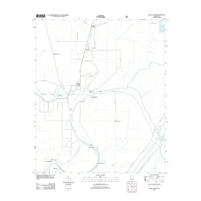
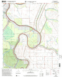 2000 Lucre2002 Print · USGSThe Mississippi Delta's river-driven landscape is captured here at the turn of the millennium, showing the confluence of three major rivers. Genealogists and historians can trace the intricate levee systems and find local landmarks like Lucre, Lake George, and the South Greentree Reservoir.
 - 2000 Map of Red Rock, 2002 Print
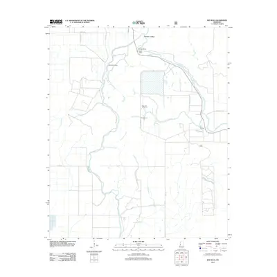
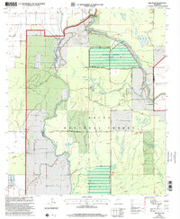 2000 Red Rock2002 Print · USGSThe Sharkey County delta at the turn of the millennium shows a landscape defined by forest management and river bends. Researchers can trace the water control systems of the Sunflower Greentree Reservoir and find local landmarks like Choctaw Landing and Red Rock.
 - 2000 Map of Holly Bluff, 2002 Print
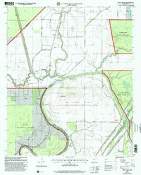 2000 Holly Bluff2002 Print · USGSThe Yazoo Mississippi Delta comes into focus at the turn of the millennium, showing a landscape defined by the winding Big Sunflower River. Local historians can trace family-named settlements like Holly Bluff and Spanish Fort, as well as numerous hunting retreats such as Mabin Lodge and Roanoke Lodge.
 - 2000 Map of Bayland, 2002 Print
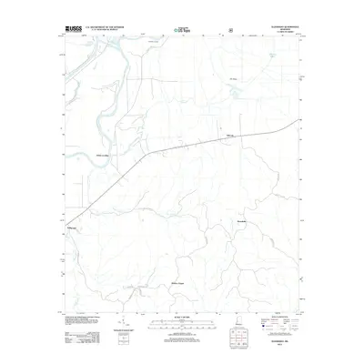
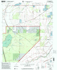 2000 Bayland2002 Print · USGSSharkey and Yazoo counties at the turn of the century show a landscape shaped by water management and the Delta National Forest. Genealogists and historians can trace old settlements like Bayland and Patosi or locate the Cem near Silver Creek.
 - 2012 Map of Red Rock, 2012 Print
 2012 Red Rock2012 Print · USGSCovers Yazoo County, including Choctaw Landing, Sharkey County, and other nearby areas
 - 2012 Map of Bentonia, 2012 Print
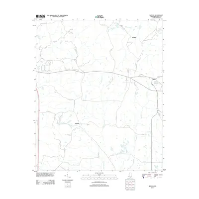
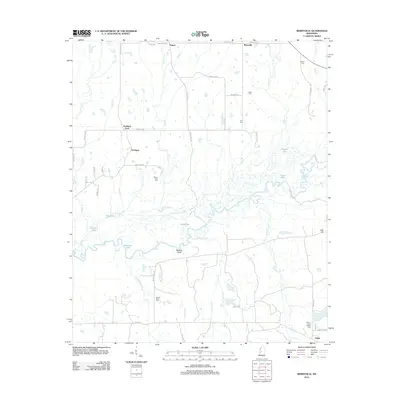
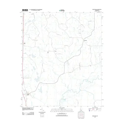 2012 Bentonia2012 Print · USGSCovers Yazoo County, including Bentonia, Dover, and other nearby areas
 - 2012 Map of Bayland, 2012 Print
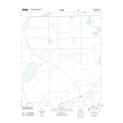 2012 Bayland2012 Print · USGSCovers Yazoo County, including Bayland, Colby, and other nearby areas
 - 2012 Map of Phoenix, 2012 Print
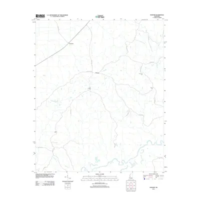 2012 Phoenix2012 Print · USGSCovers Yazoo County, including Phoenix, Germania, and other nearby areas
 - 2012 Map of Eden, 2012 Print
 2012 Eden2012 Print · USGSCovers Yazoo County, including Eden, Free Run, and other nearby areas
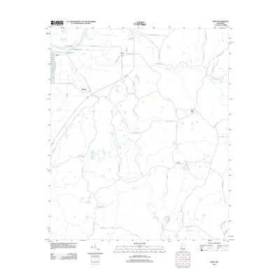
 - 2012 Map of Benton, 2012 Print
 2012 Benton2012 Print · USGSCovers Yazoo County, including Woodlawn, Roadside, and other nearby areas
 - 2012 Map of Cameron, 2012 Print
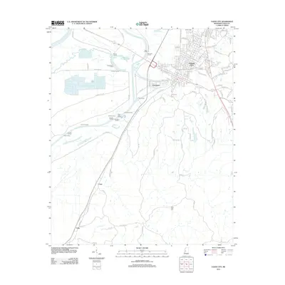
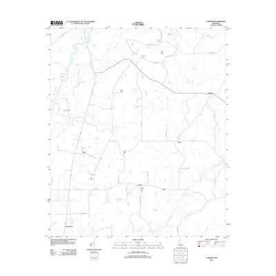 2012 Cameron2012 Print · USGSCovers Yazoo County, including Truitt, Sharpsburg, and other nearby areas
 - 2012 Map of Eldorado, 2012 Print
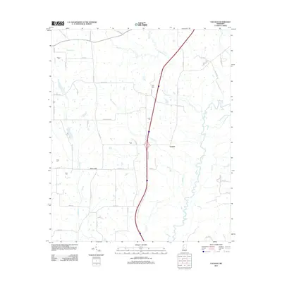
 2012 Eldorado2012 Print · USGSCovers Yazoo County, including Ballground, Eldorado, and other nearby areas
 - 2012 Map of Flora, 2012 Print
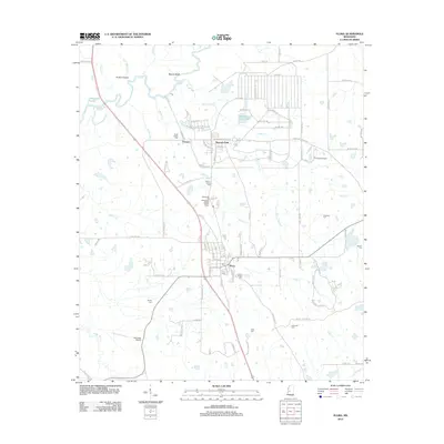 2012 Flora2012 Print · USGSCovers Yazoo County, including Flora, Vernon, and other nearby areas
 - 2012 Map of Thornton, 2012 Print
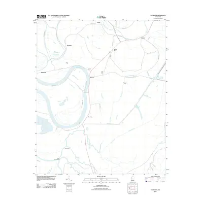 2012 Thornton2012 Print · USGSCovers Yazoo County, including Mileston, Thornton, and other nearby areas
 - 2012 Map of Silver City, 2012 Print
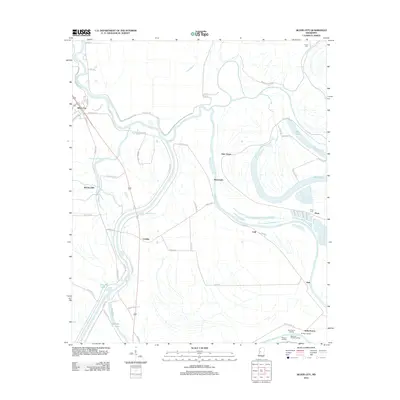 2012 Silver City2012 Print · USGSCovers Yazoo County, including Silver City, Pluto, and other nearby areas
 - 2012 Map of Lucre, 2012 Print
 2012 Lucre2012 Print · USGSCovers Yazoo County, including Horn Place Landing, Kansas Landing, and other nearby areas
 - 2012 Map of Holly Bluff, 2012 Print
 2012 Holly Bluff2012 Print · USGSCovers Yazoo County, including Campbellville, Spanish Fort, and other nearby areas
 - 2012 Map of Yazoo City, 2012 Print
 2012 Yazoo City2012 Print · USGSCovers Yazoo County, including Yazoo City, Jonestown, and other nearby areas
 - 2012 Map of Way, 2012 Print
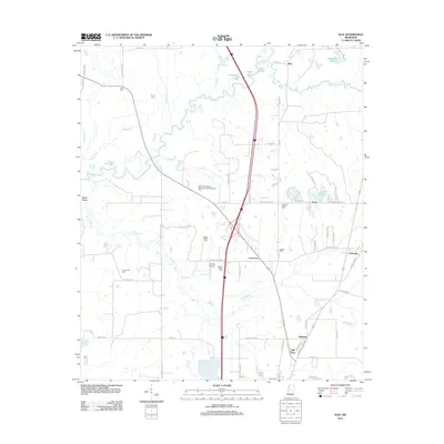 2012 Way2012 Print · USGSCovers Yazoo County, including Canton, Milltown, and other nearby areas
 - 2012 Map of Satartia, 2012 Print
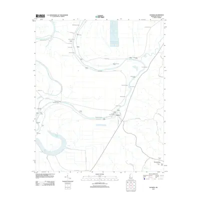 2012 Satartia2012 Print · USGSCovers Yazoo County, including Satartia, Enola, and other nearby areas
 - 2012 Map of Berryville, 2012 Print
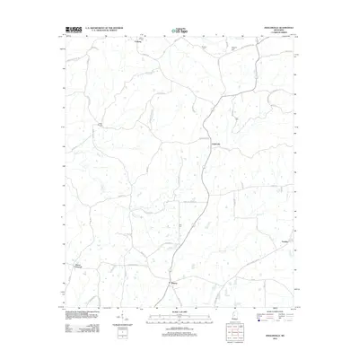
 2012 Berryville2012 Print · USGSCovers Yazoo County, including Virlilia, Scotland Fork, and other nearby areas
 - 2012 Map of Vaughan, 2012 Print
 2012 Vaughan2012 Print · USGSCovers Yazoo County, including Vaughan, Deasonville, and other nearby areas
 - 2012 Map of Zeiglerville, 2012 Print
 2012 Zeiglerville2012 Print · USGSCovers Yazoo County, including Pierce Crossroad, Fordyke, and other nearby areas
 - 2012 Map of Louise, 2012 Print
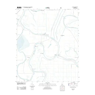
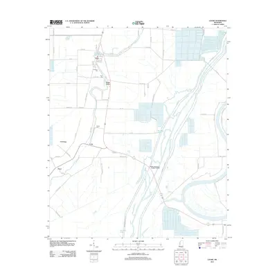 2012 Louise2012 Print · USGSCovers Yazoo County, including Louise, Patosi, and other nearby areas
 - 2012 Map of Linwood, 2012 Print
 2012 Linwood2012 Print · USGSCovers Yazoo County, including Evans, Nod, and other nearby areas
Showing maps 1-25 of 139
Top cities of Yazoo County
Frequently asked questions
- What are the different types of historical maps available for Yazoo County?
- What is the oldest map of Yazoo County?
- Where can I purchase historical maps of Yazoo County for my home or office?
- Where can I download high-res historical maps of Yazoo County?
- Are there historical topographic maps available for Yazoo County?
- Is there historical aerial imagery available for Yazoo County?
- Where are historical maps of Yazoo County sourced from?