2010s Maps of Yazoo County, Mississippi
Explore 81 historic maps of Yazoo County from the 2010s. These maps offer a rare glimpse into what life looked like during the 2010s — showing old roads, neighborhoods, homes, and landmarks that have changed or disappeared over time.
Whether you're researching your family's past, planning a metal detecting trip, or studying how Yazoo County's landscape evolved across the 2010s, these high-resolution maps are a powerful tool for exploring the history of this region.
- Focus on a specific era: All maps on this page are from the 2010s, giving you a focused view of this time period.
- See what’s changed: Compare century-old streets, trails, and buildings to today's modern landscape using overlays and satellite layers.
- Research with precision: Use these maps for genealogy, historical research, land use analysis, or educational projects.
- View, download, or print: Maps are fully viewable online in high resolution, and can be downloaded or printed for your own records.
Start exploring Yazoo County's history through authentic maps from the 2010s. This is your window into the past.
Yazoo County, MS maps
(81)- 2012 Map of Red Rock, 2012 Print
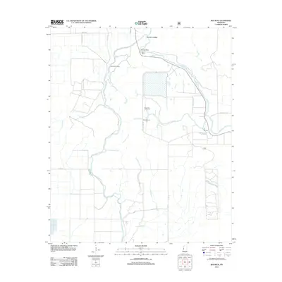 2012 Red Rock2012 Print · USGSSharkey County, Mississippi, is shown here as a landscape of managed wetlands and river landings in the early twenty-first century. Genealogists and researchers can trace the roads and waterways around Choctaw Landing, Red Rock, and the Sunflower Greentree Reservoir.
 - 2012 Map of Bentonia, 2012 Print
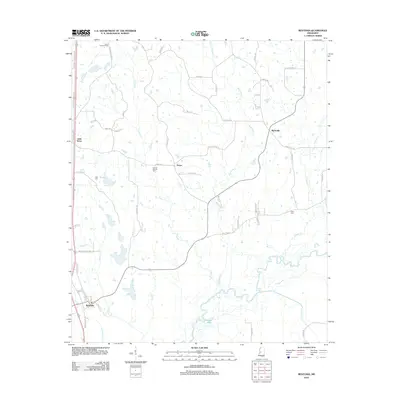 2012 Bentonia2012 Print · USGSIn the early twenty-first century, this Yazoo County landscape remained a network of rural settlements and winding river bottoms. Genealogists can locate family burial sites like Central Holmes Cem and landmarks such as the Yazoo Lookout Tower.
 - 2012 Map of Bayland, 2012 Print
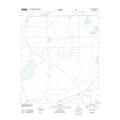 2012 Bayland2012 Print · USGSYazoo County at the start of the 2010s shows a landscape deeply tied to its waterways and agricultural tracts. Genealogists and local historians can trace family-named routes like Peter Rock Rd and Grand Oak Rd near Bayland and Colby.
 - 2012 Map of Phoenix, 2012 Print
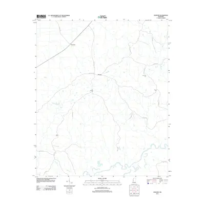 2012 Phoenix2012 Print · USGSSouthern Yazoo County was still defined by its winding waterways and family landholdings in the early 2010s. Local researchers can trace family roots through several documented sites, including Hart Childress Cem and the small settlement of Phoenix.
 - 2012 Map of Eden, 2012 Print
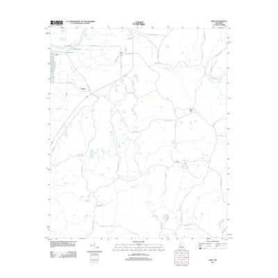 2012 Eden2012 Print · USGSYazoo County rural life is captured here in the early 2000s as the river economy transitions. Genealogists and local historians can trace family locations near Eden, the Hardshell Cem, and historic river spots like Sheppards Landing.
 - 2012 Map of Benton, 2012 Print
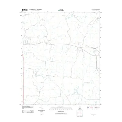 2012 Benton2012 Print · USGSYazoo County enters the second decade of the new millennium as a landscape of rural junctions and small settlements. Genealogists and local researchers can trace family landmarks like Coopers Cem, Smith's Cem, and the community at Woodlawn.
 - 2012 Map of Cameron, 2012 Print
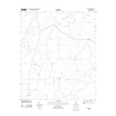 2012 Cameron2012 Print · USGSMadison County in the early 2010s remains a landscape of traditional settlements and resource extraction along the Big Black River. Genealogists can trace family roots through historic sites like Saint Peters Church Cem, Pickens Oil Field, and Truitt.
 - 2012 Map of Eldorado, 2012 Print
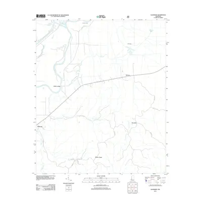 2012 Eldorado2012 Print · USGSThe riverfront and rural hills of Warren County appear here in the early twenty-first century, centered on the Yazoo River. Researchers can trace old river access points at Eldorado Landing and find local landmarks like Bradley Chapel.
 - 2012 Map of Flora, 2012 Print
 2012 Flora2012 Print · USGSMadison County, Mississippi, is shown in the early 21st century as a landscape of rural crossroads and river bottomlands. Family historians can locate numerous burial sites such as Tarpley Cem and the Woodman Hill Missionary Baptist Church Cem.
 - 2012 Map of Thornton, 2012 Print
 2012 Thornton2012 Print · USGSThe Mississippi Delta's agricultural heartland is documented here in the early twenty-first century. Genealogists and historians can locate family-named landmarks like Brooks Cem and Thornton Cem, or trace the waterways of Tchula Lake and the Yazoo River.
 - 2012 Map of Silver City, 2012 Print
 2012 Silver City2012 Print · USGSThe Yazoo River Delta in the early 2010s reveals a landscape of winding oxbow lakes and rural river settlements. You can trace family roots through historic riverfront sites like Belle Prairie Landing or find localized markers such as Jones Cem and the community of Pluto.
 - 2012 Map of Lucre, 2012 Print
 2012 Lucre2012 Print · USGSThe Yazoo River delta remains a landscape of river-dependent settlements and woodyards in this early twenty-first-century survey. Genealogists and local historians can trace numerous named river points including Spanish Fort Landing, Shell Mound Landing, and Harworth.
 - 2012 Map of Holly Bluff, 2012 Print
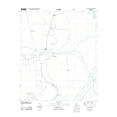 2012 Holly Bluff2012 Print · USGSThe Mississippi Delta's intricate river systems are mapped here in the early twenty-first century, showing a landscape of levees and bayous. Researchers can find many family burial sites and rural landings, from Tanglewood Cem and Spanish Fort to Mabin Island.
 - 2012 Map of Yazoo City, 2012 Print
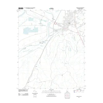 2012 Yazoo City2012 Print · USGSYazoo City and the surrounding Delta lowlands are documented here just after the first decade of the new millennium. Researchers can trace historic river access at Inchucka Landing or locate family roots near Short Creek Cem and Jonestown.
 - 2012 Map of Way, 2012 Print
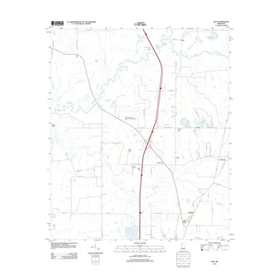 2012 Way2012 Print · USGSMadison County in the early twenty-first century reveals a landscape defined by the winding Big Black River and a network of historic rural settlements. Researchers can trace family roots through numerous local sites like the Leggitt Family Cem, Thornton Chapel, and Mill Town.
 - 2012 Map of Satartia, 2012 Print
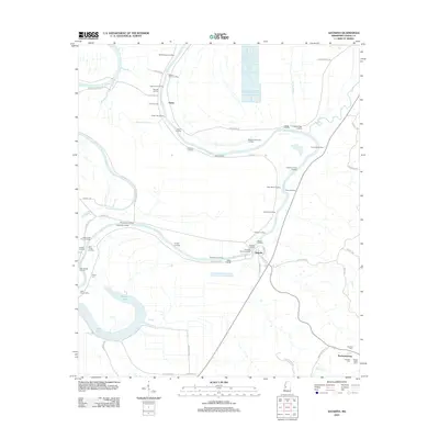 2012 Satartia2012 Print · USGSThe Yazoo River floodplain in the early twenty-first century is defined by its deep maritime history and rural settlements. Genealogists and historians can trace numerous riverfront sites like Satartia Landing or locate burial grounds such as McLeod Cem and Henry Cem.
 - 2012 Map of Berryville, 2012 Print
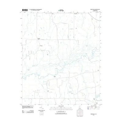 2012 Berryville2012 Print · USGSMadison County's river-fed lowlands and small crossroads are documented here in the early twenty-first century. Genealogists and local historians can locate family burial sites at Mount Zion Cem and Rucker Cem or trace the winding Big Black River.
 - 2012 Map of Vaughan, 2012 Print
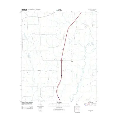 2012 Vaughan2012 Print · USGSVaughan and Deasonville appear here in the early twenty-first century, a landscape defined by the winding Big Black River. Researchers can trace old family burial sites including Williams Cem, Alsop Cem, and New Zion Cem along the rural roads.
 - 2012 Map of Zeiglerville, 2012 Print
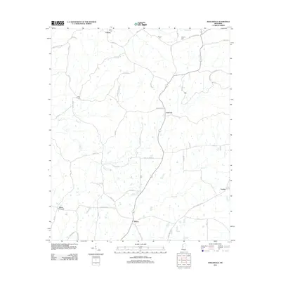 2012 Zeiglerville2012 Print · USGSYazoo County at the start of the 2010s reveals a landscape of dispersed settlements and winding creekside roads. Researchers can trace rural lineages through numerous burial sites like Coxburg Cem and Piney Springs Cem, or locate family landmarks along Shipp Ln and Waters Rd.
 - 2012 Map of Louise, 2012 Print
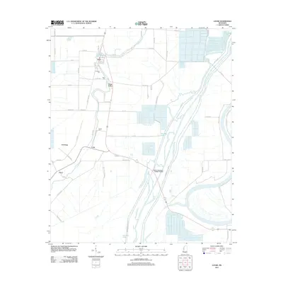 2012 Louise2012 Print · USGSHumphreys County at the start of the 2010s shows a landscape of precision agriculture and flood control. Researchers can trace family roots at Huddleston Cem or explore the rural layout of Louise, Sleepy Hollow, and Anchorage.
 - 2012 Map of Linwood, 2012 Print
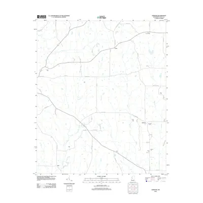 2012 Linwood2012 Print · USGSIn the early twenty-first century, this Yazoo County landscape remained a network of quiet rural roads and creekside settlements. Genealogists can locate numerous burial grounds and landmarks like Mount Zion Cem, Linwood Airport, and the Midway Lookout Tower.
 - 2012 Map of Ebenezer, 2012 Print
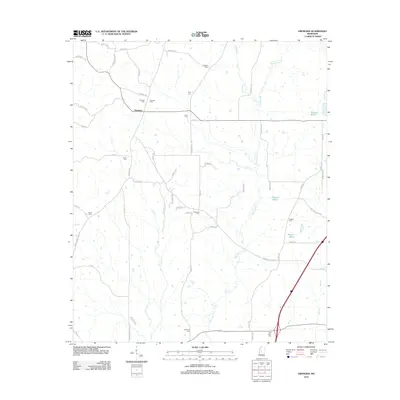 2012 Ebenezer2012 Print · USGSHolmes County settlement and family history are preserved here as they appeared in the early 2010s. Genealogists can locate numerous rural burial sites including Truly Cem, Rule Cem, and Hart Town Cem near the waters of Bisland Bayou.
 - 2012 Map of Carter, 2012 Print
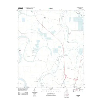 2012 Carter2012 Print · USGSThe Yazoo River Delta in the early twenty-first century reveals a landscape defined by its historic river landings and rural outposts. Genealogists and researchers can trace local roots through sites like Brown Cem, the small community of Norway, and many river landings such as Gassaway Landing.
 - 2012 Map of Bayland SE, 2012 Print
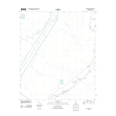 2012 Bayland SE2012 Print · USGSThe Yazoo River Delta in the early twenty-first century remains defined by its historic landings and bayous. Genealogists and historians can trace family roots through sites like Mayday Cem or locate old river stops at Limericks Landing and Haw Bluff Landing.
 - 2012 Map of Coxs Ferry, 2012 Print
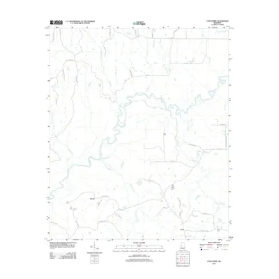 2012 Coxs Ferry2012 Print · USGSHinds County rural life at the start of the 2010s is centered around the winding Big Black River and its many tributaries. Researchers can locate family landmarks and rural crossroads such as Nevada, Coxs Ferry, and the Good Hope Baptist Church Cem.
Showing maps 1-25 of 81
Top cities of Yazoo County
Frequently asked questions
- What are the different types of historical maps available for Yazoo County?
- What is the oldest map of Yazoo County?
- Where can I purchase historical maps of Yazoo County for my home or office?
- Where can I download high-res historical maps of Yazoo County?
- Are there historical topographic maps available for Yazoo County?
- Is there historical aerial imagery available for Yazoo County?
- Where are historical maps of Yazoo County sourced from?