2020s Maps of Bollinger County, Missouri
Explore 19 historic maps of Bollinger County from the 2020s. These maps offer a rare glimpse into what life looked like during the 2020s — showing old roads, neighborhoods, homes, and landmarks that have changed or disappeared over time.
Whether you're researching your family's past, planning a metal detecting trip, or studying how Bollinger County's landscape evolved across the 2020s, these high-resolution maps are a powerful tool for exploring the history of this region.
- Focus on a specific era: All maps on this page are from the 2020s, giving you a focused view of this time period.
- See what’s changed: Compare century-old streets, trails, and buildings to today's modern landscape using overlays and satellite layers.
- Research with precision: Use these maps for genealogy, historical research, land use analysis, or educational projects.
- View, download, or print: Maps are fully viewable online in high resolution, and can be downloaded or printed for your own records.
Start exploring Bollinger County's history through authentic maps from the 2020s. This is your window into the past.
Bollinger County, MO maps
(19)- 2021 Map of Hurricane, 2021 Print
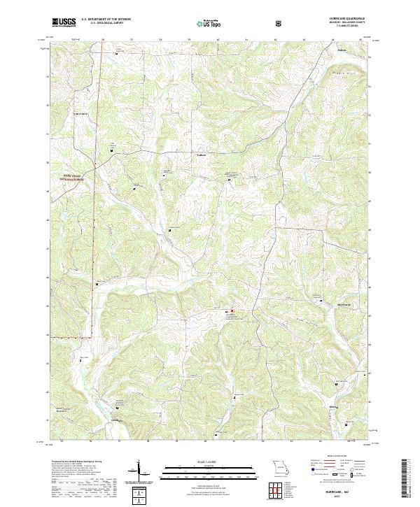 2021 Hurricane2021 Print · USGSBollinger County in the early 2020s remains a landscape of quiet crossroads and historic community anchors. Researchers can trace local genealogy through numerous rural burial sites like Union Light Cem, Slinkard Cem, and the Old Union Methodist Church Cem.
 - 2021 Map of Sedgewickville, 2021 Print
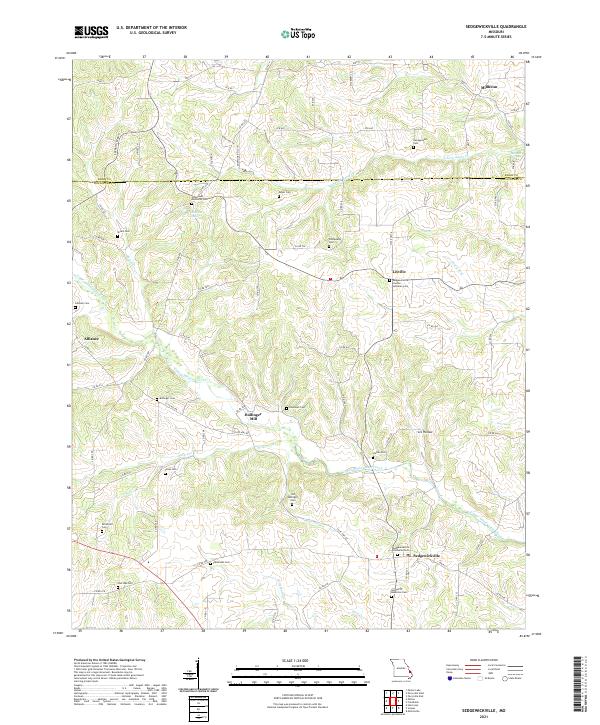 2021 Sedgewickville2021 Print · USGSSoutheast Missouri’s rolling interior near the Perry and Bollinger County line is home to long-established rural hamlets and deep family roots. Genealogists can trace local history through numerous sites like Bollinger Mill, the Old Bollinger Cem, and Lixville.
 - 2021 Map of Marquand, 2021 Print
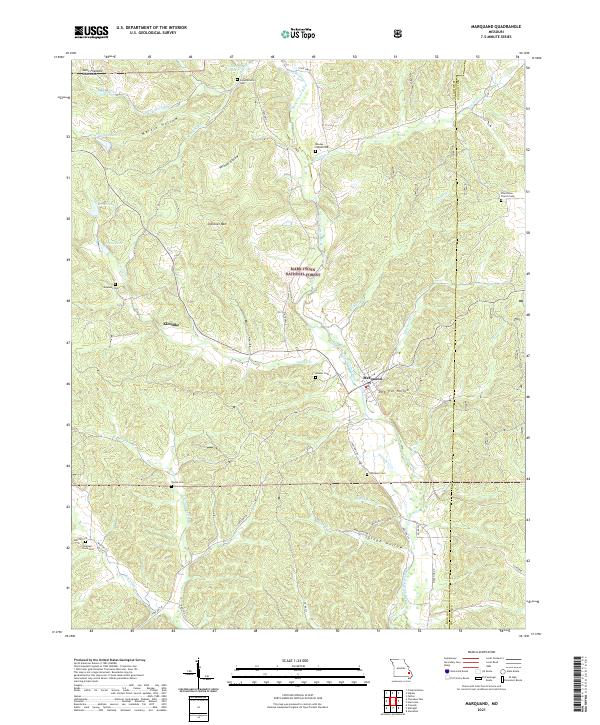 2021 Marquand2021 Print · USGSThe Marquand area and its surrounding forest lands appear here in the early 2020s, showing a landscape defined by the Upper Castor River. Genealogists can trace family burial sites like Pine Union Church Cem and Mouser Cem near the town of Marquand.
 - 2021 Map of Sturdivant, 2021 Print
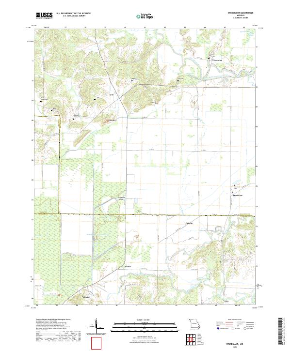 2021 Sturdivant2021 Print · USGSSoutheast Missouri's wet lowlands and bluff-lined ridges come into focus in this modern record of Bollinger County. Researchers can trace rural lineages through numerous family sites like Beatty Cem and Stratman Chapel Cem or locate the village of Sturdivant.
 - 2021 Map of Friedheim, 2021 Print
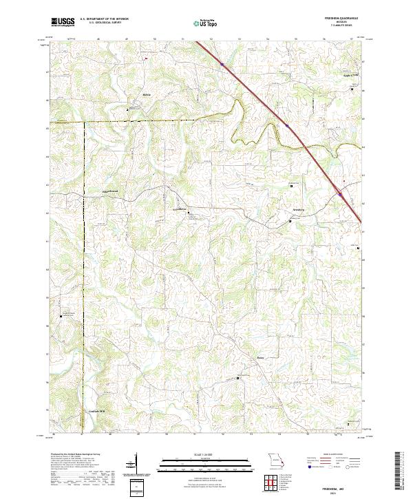 2021 Friedheim2021 Print · USGSThe rural uplands of Cape Girardeau County are captured here in the early 2020s, showing a landscape defined by historic German settlements and creek-bottom farms. Researchers can trace family history through sites like Sargents Chapel Lutheran Cem, Arnsberg, and the former site of Conrads Mill.
 - 2021 Map of Patton, 2021 Print
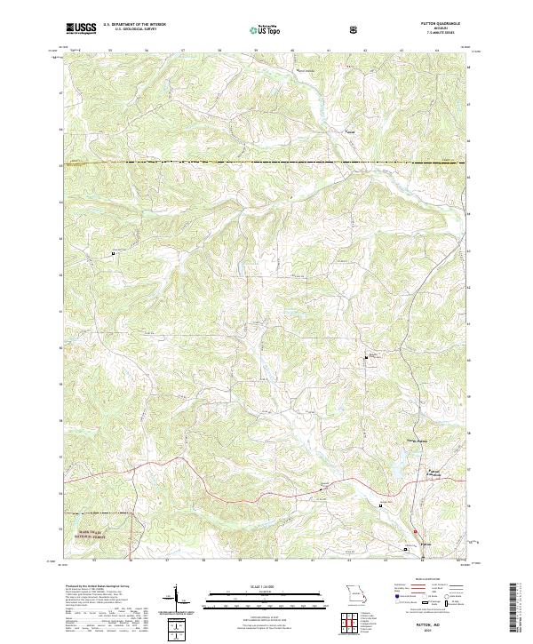 2021 Patton2021 Print · USGSBollinger County in the early 2020s remains a landscape of small crossroads and family cemeteries. Genealogists can trace local roots at Pine Hill Cem and Patton Cem, or locate landmarks like Patton Junction and Yount.
 - 2021 Map of Burfordville, 2021 Print
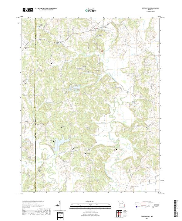 2021 Burfordville2021 Print · USGSThe rural borderlands of Cape Girardeau and Bollinger Counties are captured here in the early 2020s. Genealogists and local historians can locate numerous family burial grounds like Barks Chapel Cem and landmarks such as the Burfordville Covered Bridge.
 - 2021 Map of Higdon, 2021 Print
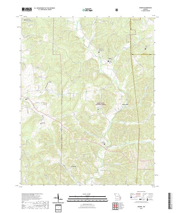 2021 Higdon2021 Print · USGSMadison County's eastern uplands are shown in detail here during the early twenty-first century, revealing a landscape of forested ridges and river valleys. Genealogists can trace family names at the Underwood Cem, Timber Ridge Cem, and the old settlement of Higdon.
 - 2021 Map of Scopus, 2021 Print
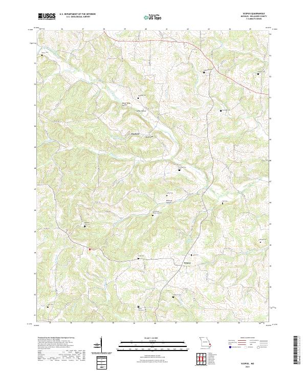 2021 Scopus2021 Print · USGSBollinger County at the start of the 2020s remains a landscape of quiet hollows and generational homesteads. Genealogists can trace family lines through numerous burial sites like Old Pulliam - Judge Long Cem and the Seabaugh Cem near Mayfield.
 - 2021 Map of Allbright, 2021 Print
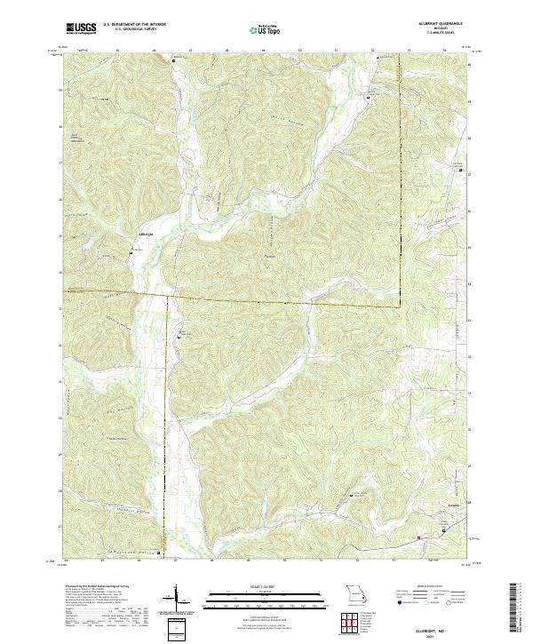 2021 Allbright2021 Print · USGSThe foothills of the Missouri Ozarks are captured here in the early twenty-first century, showcasing the rural landscapes of Madison and Bollinger Counties. Researchers can find numerous ancestral burial sites like Moores Chapel Cem and Old Trace Creek Cem tucked away near the Upper Castor River.
 - 2021 Map of Whitewater, 2021 Print
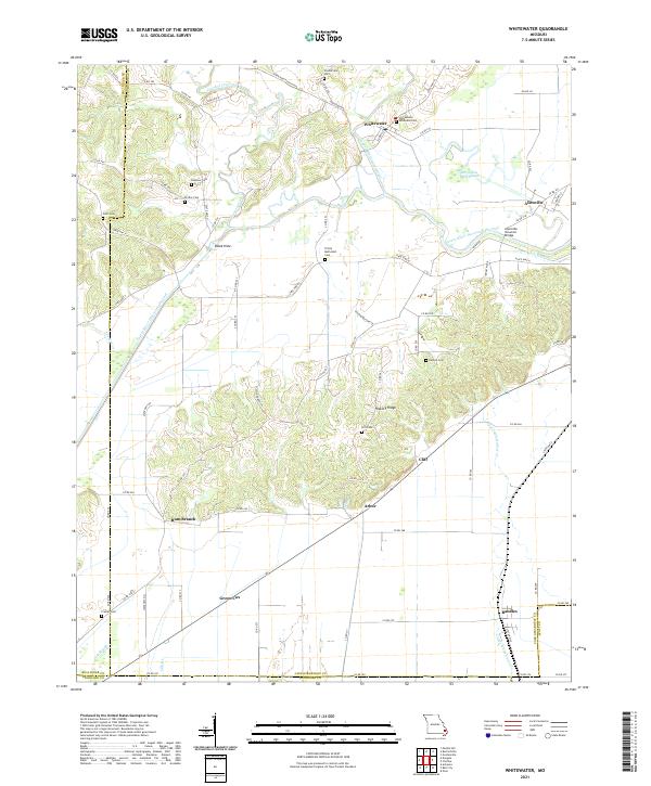 2021 Whitewater2021 Print · USGSSoutheast Missouri's river bottoms and ridges come alive in this survey of the Cape Girardeau and Scott County line. Researchers can trace the Castor River Diversion Channel and find local history at the Allenville Covered Bridge, Trinity Methodist Cem, and the old settlement of Green Cox.
 - 2021 Map of Zalma, 2021 Print
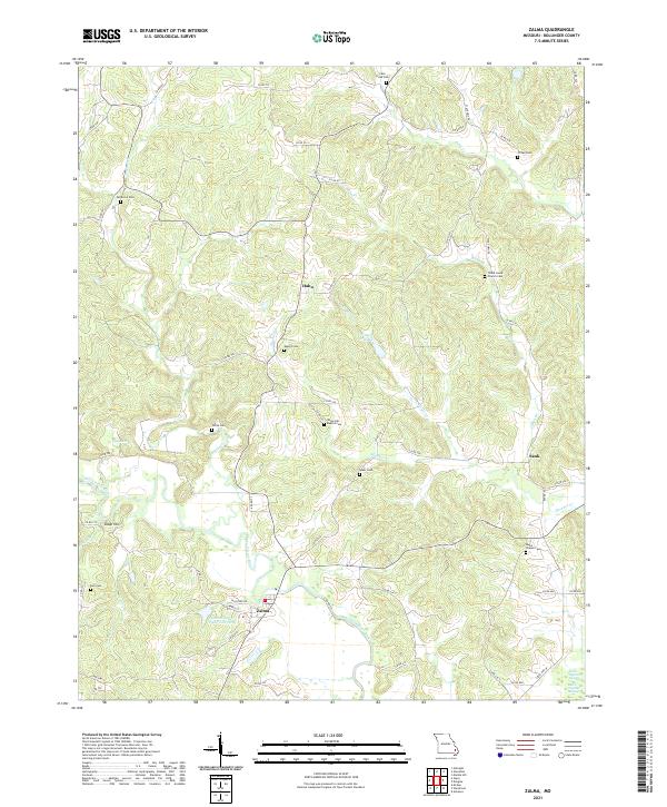 2021 Zalma2021 Print · USGSBollinger County life in the early twenty-first century is centered around the Upper Castor River and its rural homesteads. Genealogists can trace family lines through over a dozen burial sites, including Clubb Creek Church Cem, Eakers Cem, and Hall Cem.
 - 2021 Map of Marble Hill, 2021 Print
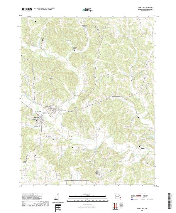 2021 Marble Hill2021 Print · USGSMarble Hill and the surrounding Bollinger County hills appear here in the early twenty-first century, centered on the historic Bollinger County Courthouse. Genealogists can trace decades of local heritage through numerous family burial sites, including Saint Johns Cem, Salybaugh Cem, and Laflin Cem.
 - 2021 Map of McGee, 2021 Print
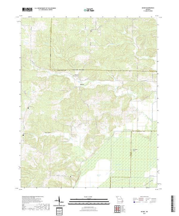 2021 McGee2021 Print · USGSWayne County and the surrounding Missouri lowlands appear in detail during this recent survey of the transition from Ozark ridges to managed wetlands. Researchers can locate family burial sites like Richmann Cem and Wilfong Cem or trace the drainage of Mingo Swamp.
 - 2021 Map of Advance, 2021 Print
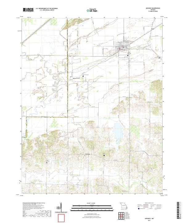 2021 Advance2021 Print · USGSSoutheast Missouri's agricultural and wetland transition is captured here in the early 2020s, showing the evolved landscape of Stoddard County. Researchers can trace rural lineages through the locations of Saint Joseph Cemetery and Liberty Hill Cemetery or locate old community centers like Brownwood and Swinton.
 - 2021 Map of Glenallen, 2021 Print
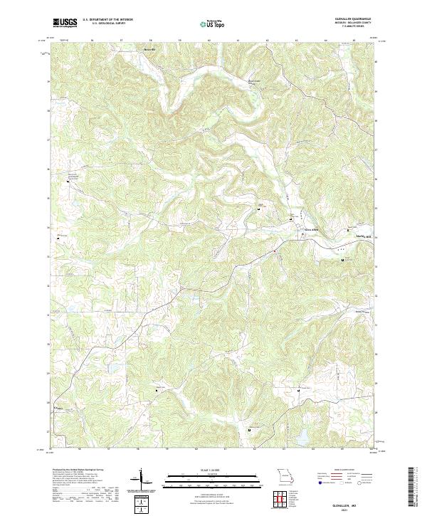 2021 Glenallen2021 Print · USGSBollinger County at the start of the 2020s shows a landscape of deep creek valleys and small rural settlements. Genealogists can trace family sites at the Glen Allen Cem, Shelton Cem, and the historic New Trace Creek Baptist Church Cem.
 - 2021 Map of Gipsy, 2021 Print
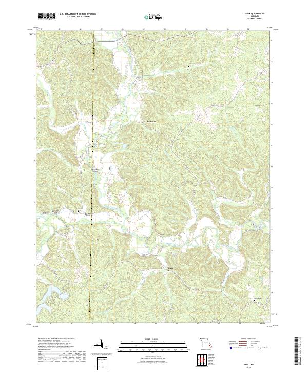 2021 Gipsy2021 Print · USGSBollinger County in the early 2020s remains a landscape of deep hollows and river bends along the Upper Castor River. Genealogists can locate several historic burial sites like Clubb Cem and Berrong Cem near the settlements of Gipsy and Buchanan.
 - 2021 Map of Dongola, 2021 Print
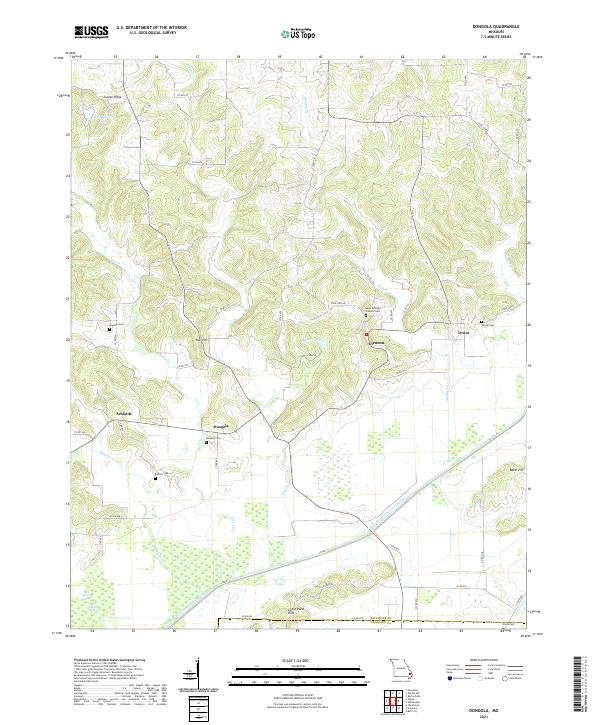 2021 Dongola2021 Print · USGSThe rural landscapes of Bollinger County are captured in this recent survey, showcasing a region defined by hill-country settlements and major water diversions. Researchers can trace family history at Dongola Cem or locate the old crossroads of Glennon and Drum.
 - 2021 Map of Millersville, 2021 Print
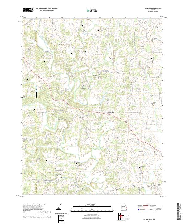 2021 Millersville2021 Print · USGSUpper Whitewater Creek winds through Cape Girardeau and Bollinger counties in this recent survey of the Missouri countryside. Genealogists and local historians can locate dozens of family burial sites such as Old Niswonger Cem and historic crossings like Hartle Ford or Reynolds Ford.
End of results
Showing maps 1-19 of 19
Top cities of Bollinger County
Frequently asked questions
- What are the different types of historical maps available for Bollinger County?
- What is the oldest map of Bollinger County?
- Where can I purchase historical maps of Bollinger County for my home or office?
- Where can I download high-res historical maps of Bollinger County?
- Are there historical topographic maps available for Bollinger County?
- Is there historical aerial imagery available for Bollinger County?
- Where are historical maps of Bollinger County sourced from?