2010s Maps of Bollinger County, Missouri
Explore 57 historic maps of Bollinger County from the 2010s. These maps offer a rare glimpse into what life looked like during the 2010s — showing old roads, neighborhoods, homes, and landmarks that have changed or disappeared over time.
Whether you're researching your family's past, planning a metal detecting trip, or studying how Bollinger County's landscape evolved across the 2010s, these high-resolution maps are a powerful tool for exploring the history of this region.
- Focus on a specific era: All maps on this page are from the 2010s, giving you a focused view of this time period.
- See what’s changed: Compare century-old streets, trails, and buildings to today's modern landscape using overlays and satellite layers.
- Research with precision: Use these maps for genealogy, historical research, land use analysis, or educational projects.
- View, download, or print: Maps are fully viewable online in high resolution, and can be downloaded or printed for your own records.
Start exploring Bollinger County's history through authentic maps from the 2010s. This is your window into the past.
Bollinger County, MO maps
(57)- 2011 Map of Glenallen, 2011 Print
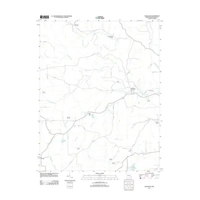 2011 Glenallen2011 Print · USGSBollinger County at the start of the 2010s reveals a landscape of small rural settlements and family-named landmarks. Genealogists and local historians can trace the locations of Mouser Cemetery, Dry Creek Cemetery, and the communities of Glenallen and Bessville.
 - 2011 Map of McGee, 2011 Print
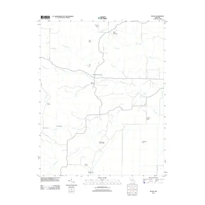 2011 McGee2011 Print · USGSThe rural McGee area of Wayne County is shown here in the early twenty-first century, detailed with local hollows and timbered ridges. Genealogists can locate family burial sites at Wilfong Cemetery and Richman Cemetery or trace landmarks like Gypsy Lookout Tower.
 - 2011 Map of Hurricane, 2011 Print
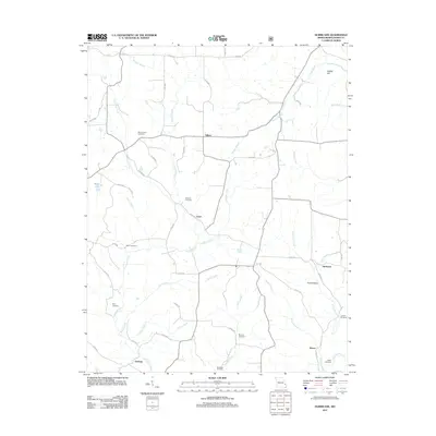 2011 Hurricane2011 Print · USGSBollinger County at the start of the twenty-first century maintains its rural character through small settlements and family lands. Genealogists can trace local heritage through numerous sites like Old Concord Cemetery, Hawn Cemetery, and McMahan Cemetery.
 - 2011 Map of Patton, 2011 Print
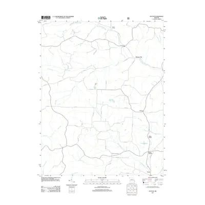 2011 Patton2011 Print · USGSThe rural landscapes of Perry County come into focus in the early twenty-first century, showing the small communities and creek-bottom lands south of Yount. Researchers can trace family homesteads near Heitmans Mill, Pleasant Hill Cemetery, and the cluster at Patton Junction.
 - 2011 Map of Allbright, 2011 Print
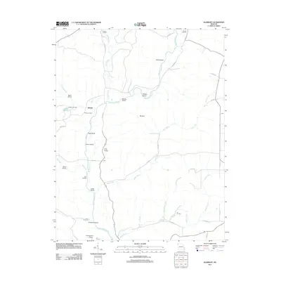 2011 Allbright2011 Print · USGSMadison County, Missouri, at the start of the 2010s shows a landscape of river-carved hollows and small rural settlements. Family historians can trace local roots through numerous burial sites and landmarks like Kinder Chapel Cemetery, Allbright, and Lake Wopalänne.
 - 2011 Map of Zalma, 2011 Print
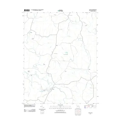 2011 Zalma2011 Print · USGSZalma and the Bollinger County countryside are captured here in the early 21st century as the Upper Castor River winds through the valley. Researchers can trace numerous family burial sites, from Cane Creek Cemetery to Speer Cemetery, and locate rural landmarks like Hahn and Virgin Creek Lake.
 - 2011 Map of Higdon, 2011 Print
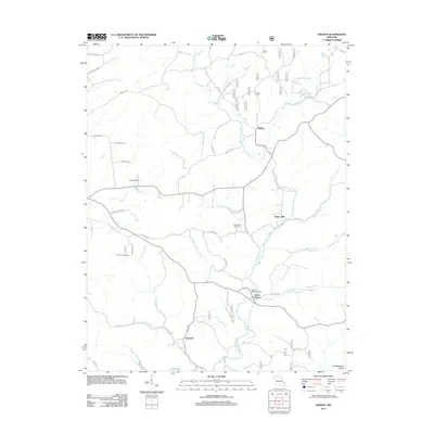 2011 Higdon2011 Print · USGSMadison County and the foothills of the Southeastern Ozarks are captured here just after the turn of the millennium. Researchers can locate the small settlements of Higdon and Cornwall, alongside family cemeteries like Underwood Cemetery and Peterman Cemetery.
 - 2011 Map of Marquand, 2011 Print
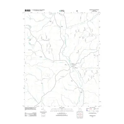 2011 Marquand2011 Print · USGSMadison County at the start of the 2010s shows a landscape of river valleys and mountain ridges shaped by the Upper Castor River. Genealogists can locate family burial sites at Stephens Cemetery and Whitener Cemetery or trace old routes through Dog Trot Hollow.
 - 2011 Map of Gipsy, 2011 Print
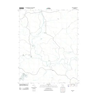 2011 Gipsy2011 Print · USGSThe area surrounding Gipsy and Buchanan is captured here during the early twenty-first century, showing a rural landscape defined by the Upper Castor River. Genealogists can trace family roots at Scott Cemetery or Clubb Cemetery and locate landmarks like Factory Pond.
 - 2012 Map of Sturdivant, 2012 Print
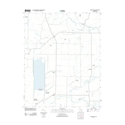 2012 Sturdivant2012 Print · USGSSoutheast Missouri's river lowlands meet the Ozark edge in the early 2010s, showing a landscape of wildlife refuges and rural hamlets. Genealogists can locate family burial sites like Kimbrel Cemetery and Cox Cemetery near settlements such as Eaglette and Kinder.
 - 2012 Map of Marble Hill, 2012 Print
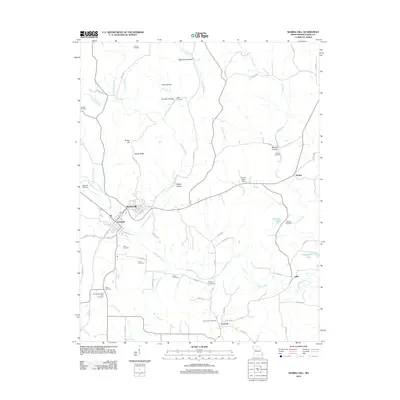 2012 Marble Hill2012 Print · USGSBollinger County at the start of the 2010s shows a landscape of ridges and hollows defined by the convergence of Marble Hill and Lutesville. Genealogists can trace family heritage through numerous sites like Saint Johns Cemetery, Eaker Cemetery, and the settlement of Leopold.
 - 2012 Map of Sedgewickville, 2012 Print
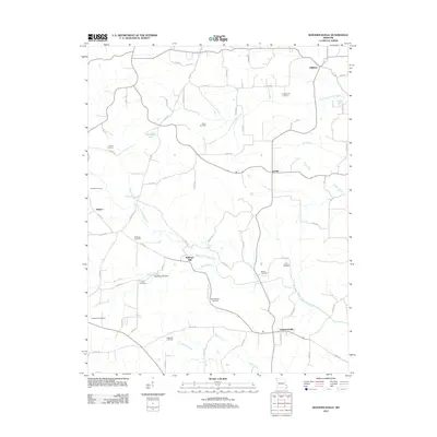 2012 Sedgewickville2012 Print · USGSBollinger County at the start of the twenty-first century remains a landscape of deep-rooted rural communities and family history. Researchers can trace ancestral sites and local landmarks like Bollinger Mill, Old Bollinger Cemetery, and the historic settlement of Sedgewickville.
 - 2012 Map of Advance, 2012 Print
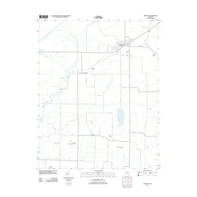 2012 Advance2012 Print · USGSStoddard County is documented here in the early 2010s, showing a landscape defined by the Upper Castor River and agricultural crossroads. Researchers can locate numerous family burial grounds including Morgan Cemetery, Rock Point Cemetery, and George Cemetery.
 - 2012 Map of Millersville, 2012 Print
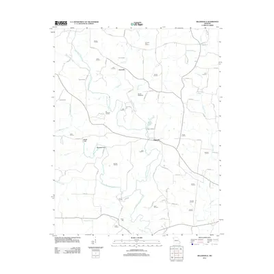 2012 Millersville2012 Print · USGSMillersville and the surrounding Missouri countryside are documented here in the early twenty-first century. Genealogists and local historians can trace numerous family burial sites like Old Niswonger Cemetery or locate traditional water crossings at Hartle Ford and Reynolds Ford.
 - 2012 Map of Friedheim, 2012 Print
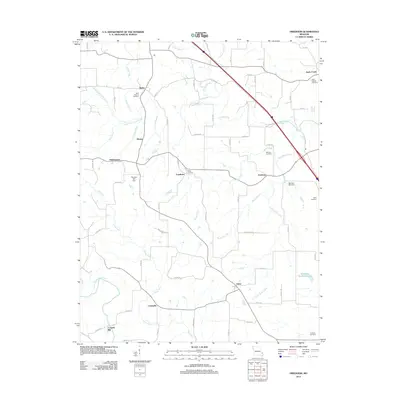 2012 Friedheim2012 Print · USGSMissouri's rural landscape at the start of the 2010s reveals a network of tight-knit agricultural settlements and ancestral burial grounds. Genealogists and local historians can trace family sites at Saint Maurus or Sides Cemetery, and locate historic hubs like Friedheim and Conrads Mill.
 - 2012 Map of Dongola, 2012 Print
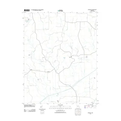 2012 Dongola2012 Print · USGSBollinger County at the start of the 2010s reveals a rural landscape shaped by significant water management and long-standing family settlements. Researchers can trace ancestral sites at Mansker Cemetery and Kellion Cemetery or explore the engineering of the Castor River Diversion Channel.
 - 2012 Map of Scopus, 2012 Print
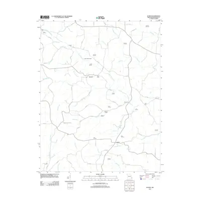 2012 Scopus2012 Print · USGSBollinger County at the start of the 2010s reveals a rural landscape deeply rooted in its family heritage and river geography. Researchers can trace the lineage of the region through numerous burial grounds like Mountain View Cemetery and historic crossings such as Bollinger Ford or Seabaugh Ford.
 - 2012 Map of Burfordville, 2012 Print
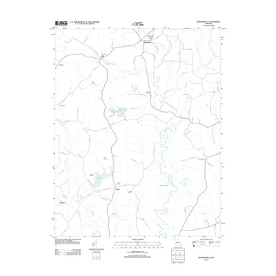 2012 Burfordville2012 Print · USGSMissouri's rural landscape comes into focus here during the early twenty-first century, centered on the community of Burfordville. Local historians can trace family roots through many burial sites, including Spivey Cemetery, and locate the iconic Burfordville Covered Bridge along the creek.
 - 2012 Map of Whitewater, 2012 Print
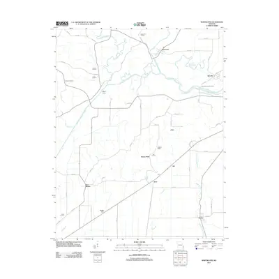 2012 Whitewater2012 Print · USGSSoutheast Missouri in the early 2010s reveals a landscape defined by massive hydrological engineering and deep family roots. Researchers can trace ancestral sites like Stroderville Cemetery and Frazier Cemetery or locate the landmark Allenville Covered Bridge.
 - 2015 Map of Hurricane, 2015 Print
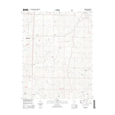 2015 Hurricane2015 Print · USGSBollinger County in the mid-2010s remains a landscape of deeply-etched creek valleys and quiet rural settlements. Genealogists can trace family heritage through a remarkable number of local burial sites, including McMahan Cemetery, Berry Cemetery, and the community surrounding Shrum.
 - 2015 Map of Sedgewickville, 2015 Print
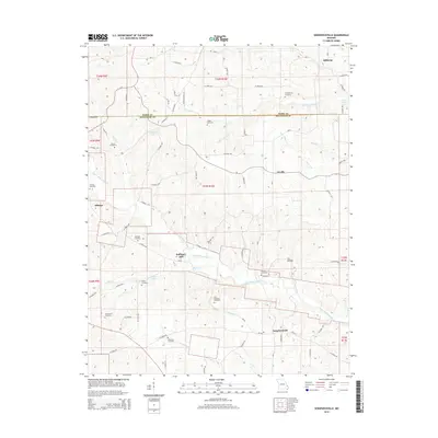 2015 Sedgewickville2015 Print · USGSThe borderlands of Perry and Bollinger counties come into focus during the mid-2010s, revealing a landscape of small settlements and family farmsteads. Genealogists can trace deep local roots through landmarks like Bollinger Mill, Old Bollinger Cemetery, and Schumer Springs.
 - 2015 Map of Burfordville, 2015 Print
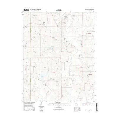 2015 Burfordville2015 Print · USGSCape Girardeau County and the Bollinger County border are captured here in the mid-2010s, centered on the landmark Burfordville Covered Bridge. Researchers can trace family history through numerous local sites like Gravel Hill Cemetery and the settlement of Crump.
 - 2015 Map of McGee, 2015 Print
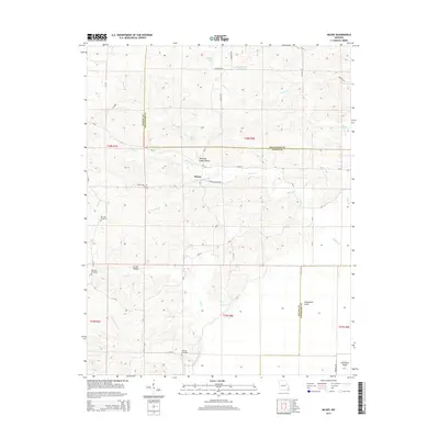 2015 McGee2015 Print · USGSSoutheast Missouri's rural landscape at the Wayne and Bollinger county line is captured here during the mid-2010s. Genealogists and local historians can trace family ties at the De Celis Cemetery or Richman Cemetery and locate secluded landmarks like Manning Cabin Hollow.
 - 2015 Map of Scopus, 2015 Print
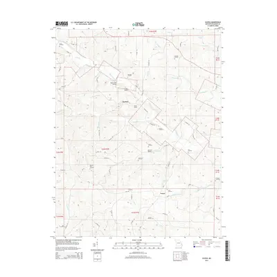 2015 Scopus2015 Print · USGSBollinger County in 2015 remains a landscape of deep hollows and family-named landmarks. Genealogists can locate over a dozen rural burial sites including Seabaugh Cemetery, Pulliam Cemetery, and the Judge Long Cemetery.
 - 2015 Map of Glenallen, 2015 Print
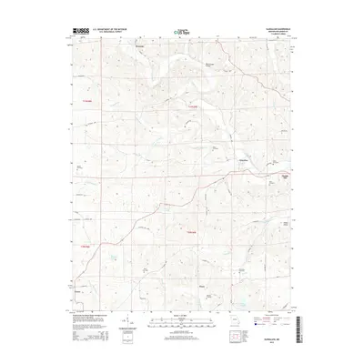 2015 Glenallen2015 Print · USGSBollinger County in the early 2010s shows a landscape of established rural settlements and family landmarks. Genealogists can trace local heritage through numerous burial sites like Deck Cemetery and Shelton Cemetery near Huxie and Bessville.
Showing maps 1-25 of 57
Top cities of Bollinger County
Frequently asked questions
- What are the different types of historical maps available for Bollinger County?
- What is the oldest map of Bollinger County?
- Where can I purchase historical maps of Bollinger County for my home or office?
- Where can I download high-res historical maps of Bollinger County?
- Are there historical topographic maps available for Bollinger County?
- Is there historical aerial imagery available for Bollinger County?
- Where are historical maps of Bollinger County sourced from?