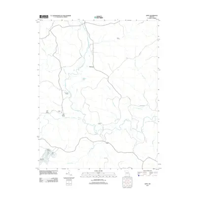
2011 Map of Gipsy
USGS Topo · Published 2011About this map
The Upper Castor River meanders through the landscape of southeast Missouri, anchoring a region defined by scattered rural settlements and intricate waterway systems. Small communities like Gipsy and Buchanan serve as focal points along the network of county roads, while smaller locales such as Choat represent the quiet residential character of the area in the early twenty-first century. The terrain is marked by distinctive drainages and geographic markers including Hurricane Hollow, Lime Kiln Hollow, and Big Branch Hollow.
Find a feature on this map
37 named features on this map. Tap any name to fly to it.
Don’t see what you’re looking for? This feature index may not catch every label — zoom into the map to look around manually.
Map Details
Editions of this 2011 Gipsy Map
This is the sole edition of this map. No revisions or reprints were ever made.
Other maps of this area

1930 · Coldwater
USGS Topo · 1:62,500

1933 · Marquand
USGS Topo · 1:62,500

1934 · Greenville
USGS Topo · 1:62,500

1935 · Zalma
USGS Topo · 1:62,500

1938 · Marquand
USGS Topo · 1:62,500

1939 · Greenville
USGS Topo · 1:62,500

1939 · Zalma
USGS Topo · 1:62,500

1949 · Rolla
USGS Topo · 1:250,000

1949 · Coldwater
USGS Topo · 1:62,500

1953 · Rolla
USGS Topo · 1:250,000