2010s Maps of Carroll County, Missouri
Explore 69 historic maps of Carroll County from the 2010s. These maps offer a rare glimpse into what life looked like during the 2010s — showing old roads, neighborhoods, homes, and landmarks that have changed or disappeared over time.
Whether you're researching your family's past, planning a metal detecting trip, or studying how Carroll County's landscape evolved across the 2010s, these high-resolution maps are a powerful tool for exploring the history of this region.
- Focus on a specific era: All maps on this page are from the 2010s, giving you a focused view of this time period.
- See what’s changed: Compare century-old streets, trails, and buildings to today's modern landscape using overlays and satellite layers.
- Research with precision: Use these maps for genealogy, historical research, land use analysis, or educational projects.
- View, download, or print: Maps are fully viewable online in high resolution, and can be downloaded or printed for your own records.
Start exploring Carroll County's history through authentic maps from the 2010s. This is your window into the past.
Carroll County, MO maps
(69)- 2012 Map of Standish, 2012 Print
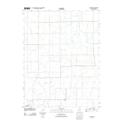 2012 Standish2012 Print · USGSStandish and northern Carrollton are captured here in the early twenty-first century, showing the rural road networks and creek systems of Carroll County. Genealogists and historians can locate Saint Marys Cemetery, Pence Dam, and the waters of Shootman Creek.
 - 2012 Map of Stet, 2012 Print
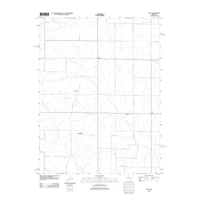 2012 Stet2012 Print · USGSThis rural Missouri landscape at the start of the 2010s shows a quiet network of creeks and small settlements in Ray County. Researchers can trace family history at the Penniston Cemetery and locate old crossroads like Russellville and Stet.
 - 2012 Map of Norborne, 2012 Print
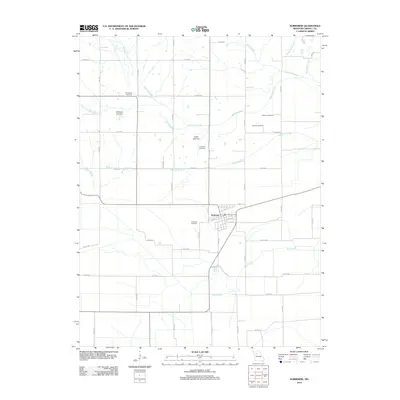 2012 Norborne2012 Print · USGSThe agricultural plains of Carroll County are captured here in the early 2010s, centered on the community of Norborne. Family historians can locate numerous local burial sites including Providence Cemetery and German Cemetery alongside the banks of Wakenda Creek.
 - 2012 Map of Roads, 2012 Print
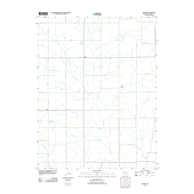 2012 Roads2012 Print · USGSNorth-central Carroll County is documented here in the early twenty-first century, showing a landscape of scattered farmsteads and agricultural water works. Genealogists can locate family lands near Roads and Judd or trace the drainages of Turkey Creek and Amery Lake.
 - 2012 Map of Plymouth, 2012 Print
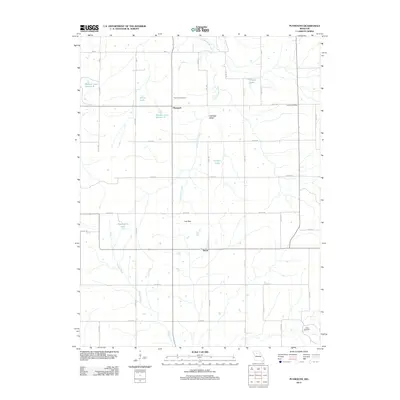 2012 Plymouth2012 Print · USGSThe rural landscape of Carroll County is documented here during the early 2010s, showing a well-established network of farm roads and drainage basins. Researchers can locate community anchors like Plymouth Cemetery, the Latoh Post Office, and the small settlement of Quote.
 - 2012 Map of Coloma, 2012 Print
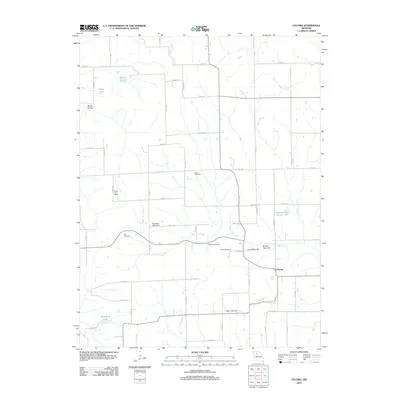 2012 Coloma2012 Print · USGSCarroll County’s rural character is well-preserved in this modern survey of the area around Coloma. Local historians can trace the locations of the Fisher Post Office, several family burial grounds like Braden Cemetery, and the distinct topography of Round Tater Hill.
 - 2012 Map of Brunswick East, 2012 Print
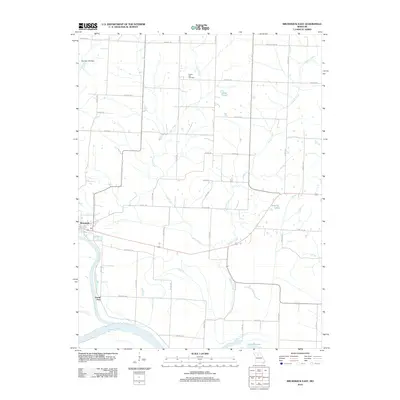 2012 Brunswick East2012 Print · USGSThe river bottoms of Chariton County are seen here during the early twenty-first century as the Grand River meets the Missouri River. Genealogists and local historians can trace family locations near Prairie Dell Cemetery or the historic river landings at Grand Port.
 - 2012 Map of Hale, 2012 Print
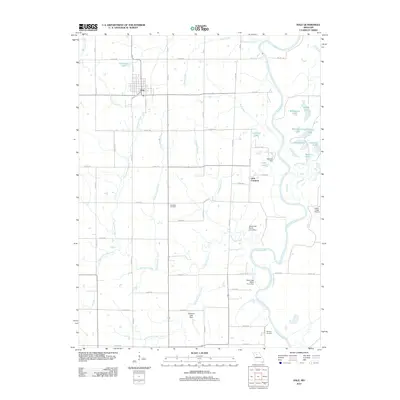 2012 Hale2012 Print · USGSCarroll County's agricultural landscape is seen here in the early twenty-first century, centered on the community of Hale. Genealogists can locate Elizabeth Cemetery and Winfrey Cemetery, while researchers trace the river valley near Little Compton and Eagle Lodge Airport.
 - 2012 Map of Tina, 2012 Print
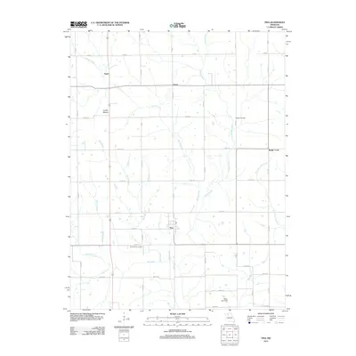 2012 Tina2012 Print · USGSThe Carroll County landscape around Tina is documented here during the early twenty-first century. Genealogists and researchers can locate family sites near Macklin Cemetery, trace the path of Mound Creek, or explore the rural surroundings of Asper and Grace.
 - 2012 Map of Waverly, 2012 Print
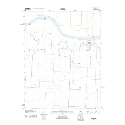 2012 Waverly2012 Print · USGSThe Missouri River loops sharply past Waverly in the early twenty-first century, defined by its historic bends and floodplain islands. Researchers can trace land tracts near Catron Cemetery or follow the route of the Old Santa Fe Trl across the county.
 - 2012 Map of Brunswick West, 2012 Print
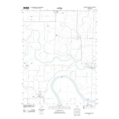 2012 Brunswick West2012 Print · USGSThe Missouri and Grand River floodplains define this 2012 survey, where small communities like De Witt and Triplett navigate a shifting landscape of sloughs and bends. Genealogists can trace family footprints through numerous burial sites including Evergreen Cemetery and McCullough Cemetery.
 - 2012 Map of Carrollton East, 2012 Print
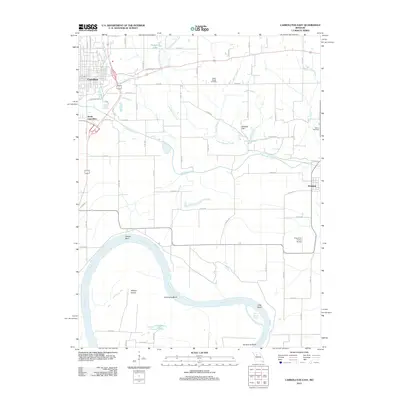 2012 Carrollton East2012 Print · USGSThe Missouri River bottomlands south of Carrollton were an established agricultural landscape by the early twenty-first century. Researchers can trace land use patterns and family history at Willis Chapel Cemetery or the rural airstrip at Famuliner Farms Airport.
 - 2012 Map of Grand Pass, 2012 Print
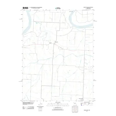 2012 Grand Pass2012 Print · USGSSaline County agricultural lands and the Missouri River floodplain appear in high detail during the early 2010s. Researchers can trace rural property access and landmarks like Mount Nebo Cemetery or the drainage of the Salt Fork near Grand Pass.
 - 2012 Map of Carrollton West, 2012 Print
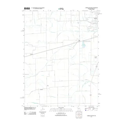 2012 Carrollton West2012 Print · USGSCarrollton and its surrounding Missouri bottomlands are captured here in the early twenty-first century, showing a landscape shaped by river drainage and rail history. Researchers can trace local lineages through Oak Hill and Austin Cemetery, or locate the settlements of Palemon and Sugartree.
 - 2012 Map of Hardin, 2012 Print
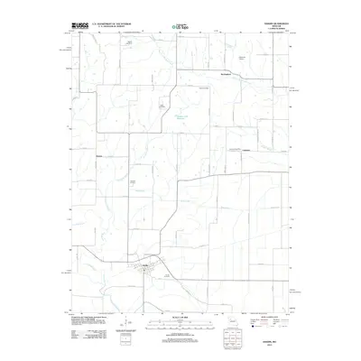 2012 Hardin2012 Print · USGSThe rural riverlands of Ray County are captured here just after the first decade of the new millennium. Genealogists and local historians can trace family ties at Hardin Cemetery, locate the Lakeview Post Office, or follow the banks of Moss Creek.
 - 2012 Map of Dover, 2012 Print
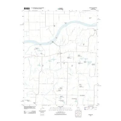 2012 Dover2012 Print · USGSDover and the Missouri River bottomlands are captured here in the early twenty-first century, showing a landscape defined by water engineering and river navigation. Researchers can trace the connection between Dover Station and Dover, or locate family landmarks like Luehrman Lake and Fischer Lake Dam.
 - 2012 Map of Bosworth, 2012 Print
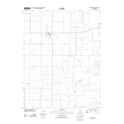 2012 Bosworth2012 Print · USGSThe agricultural lands of Carroll County are centered here around the town of Bosworth in the early twenty-first century. Genealogists and local historians can trace family locations near Union Cemetery, Pleasant Park Cemetery, or the water-carved banks of the Grand River.
 - 2012 Map of Bogard, 2012 Print
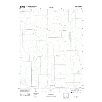 2012 Bogard2012 Print · USGSThe village of Bogard and the surrounding Carroll County countryside are shown here in the early twenty-first century. Researchers can trace rural lineages through several local burial grounds like Smith Cemetery and Mount Zion Cemetery or locate the site of Aalberg Siding.
 - 2012 Map of Malta Bend, 2012 Print
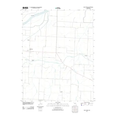 2012 Malta Bend2012 Print · USGSThe northern edge of Saline County meets the Missouri River in this early twenty-first century survey of the area near Malta Bend. Researchers can locate several rural burial grounds including Saint Marys Cemetery and Salt Springs Cemetery along the Salt Fork.
 - 2012 Map of Miami Station, 2012 Print
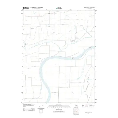 2012 Miami Station2012 Print · USGSThe Missouri River floodplain and rural Carroll County uplands are captured here in the early 21st century. Researchers can locate family burial sites at Salem Cemetery and Elder Cemetery or trace water management features like Van Meter Dam.
 - 2012 Map of Miami, 2012 Print
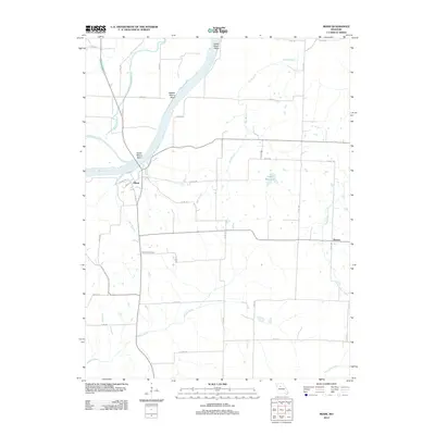 2012 Miami2012 Print · USGSThe riverfront settlement of Miami and the surrounding Saline County landscape are documented here in the early twenty-first century. Researchers can trace rural developments and local landmarks including Sharon, Christian Cemetery, and the Elson Reservoir.
 - 2012 Map of Lexington East, 2012 Print
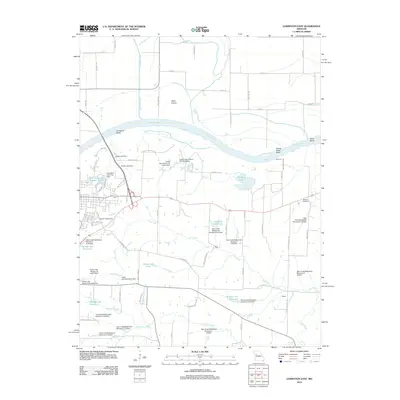 2012 Lexington East2012 Print · USGSThe Missouri River bottoms and surrounding Lafayette County uplands are shown in detail here during the early twenty-first century. Genealogists and local historians can locate Slusher Cemetery and the small settlements of Halls and Winton among numerous watershed dams and reservoirs.
 - 2012 Map of Braymer, 2012 Print
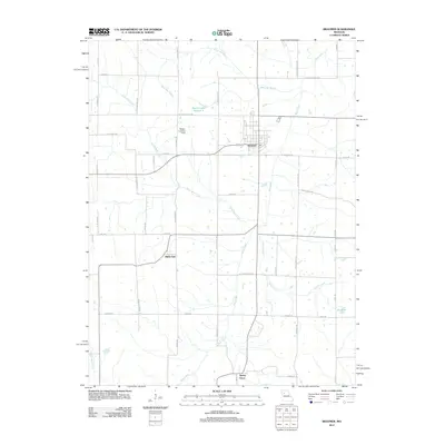 2012 Braymer2012 Print · USGSBraymer and the surrounding Caldwell County countryside are captured here in the early twenty-first century. Genealogists and local historians can trace the rural landscape between Black Oak and Tinney Grove, or locate landmarks like Wright Landing Field.
 - 2015 Map of Stet, 2015 Print
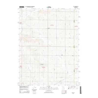 2015 Stet2015 Print · USGSThe rural borderlands between Ray and Carroll Counties are captured here in the mid-2010s. Local researchers can locate family sites at Penniston Cemetery or trace the early foundations of Stet, Russellville, and Regal among the many forks of Wakenda Creek.
 - 2015 Map of Brunswick West, 2015 Print
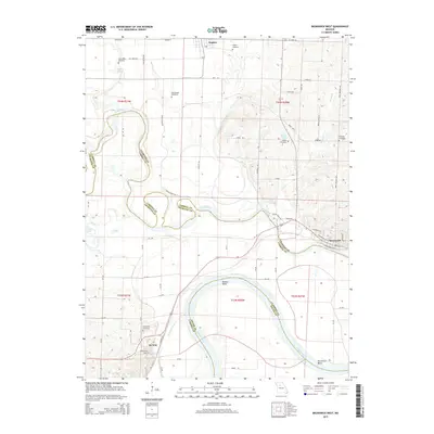 2015 Brunswick West2015 Print · USGSThe Missouri and Grand rivers converge in this riverfront region during the mid-2010s, showing the historic river towns of Brunswick and De Witt. Researchers can trace local lineage through several rural burial grounds like Evergreen Cemetery and Kennedy Cemetery or map the shifting hydrology of Dewitt Bend.
Showing maps 1-25 of 69
Top cities of Carroll County
- Carrollton historical maps
- Norborne historical maps
- Hale historical maps
- Wakenda historical maps
- Bosworth historical maps
- Bogard historical maps
See more
Frequently asked questions
- What are the different types of historical maps available for Carroll County?
- What is the oldest map of Carroll County?
- Where can I purchase historical maps of Carroll County for my home or office?
- Where can I download high-res historical maps of Carroll County?
- Are there historical topographic maps available for Carroll County?
- Is there historical aerial imagery available for Carroll County?
- Where are historical maps of Carroll County sourced from?