Old Maps of Umber View Heights, Missouri for Genealogy
Trace your family roots with 15 historic maps of Umber View Heights. These high-res maps reveal old neighborhoods, homesites, landmarks, and streets — helping you uncover where your ancestors lived and how the area evolved over time.
- Explore historic neighborhoods: Identify where your relatives may have lived in the 1800s or 1900s.
- Compare maps over time: Trace the changes in streets, buildings, and landmarks for multi-generational research.
- Perfect for genealogy & ancestry research: Used by family historians and researchers to map out lineage and migration.
These maps are an incredible resource for exploring your personal connection to Umber View Heights's past.
Umber View Heights, MO maps
(15)- 1886 Map of Stockton
 1886 Stockton1886 Print · USGSSouthwest Missouri in the mid-1880s was a landscape of river-bottom farms and emerging rail towns along the Kansas City Clinton and Springfield R. R. Trace vanished post offices and local landmarks like Johnson's Mill, Dunnegan Springs, and the early streets of Stockton.3 unique versions available
 - 1954 Map of Springfield
 1954 Springfield1954 Print · USGSThe Missouri Ozarks are captured here during the post-war era, showing the expansion of Springfield and the surrounding river valleys. Genealogists and historians can trace local landmarks like Mount Comfort Cemetery and the Fort Leonard Wood military grounds.6 unique versions available
 - 1956 Map of Stockton, 1957 Print
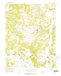 1956 Stockton1957 Print · USGSMid-century Cedar County is captured here just before major landscape changes, centered on the courthouse town of Stockton. Researchers can trace old family roots at Pankey Cem, visit the settlement of Umber, or locate rural congregations like Gum Springs Ch.3 unique versions available
 - 1956 Map of Crisp, 1957 Print
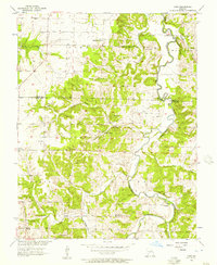 1956 Crisp1957 Print · USGSAcross the Cedar and Dade county line in the mid-fifties, this landscape reveals a network of river-bottom farms and rural crossroads. Researchers can locate remote burial sites like Ball Mound Cem and early community centers such as Crisp and Seybert.3 unique versions available
 - 1958 Map of Springfield
 1958 Springfield1958 Print · USGSThe Missouri Ozarks are captured during the mid-century era of growth, centered on the bustling hub of Springfield. Genealogists and historians can trace family roots through numerous landmarks like Ebenezer Church, Stockton Cem, and the various county courthouses.
 - 1959 Map of Springfield
 1959 Springfield1959 Print · USGSThe Missouri Ozarks are captured here during a decade of postwar growth and increasing highway connectivity. Researchers can trace the legacy of the St Louis-San Francisco RR and locate early sites in Springfield, Lebanon, and Mountain Grove.
 - 1984 Map of Bolivar
 1984 Bolivar1984 Print · USGSWestern Missouri in the mid-eighties shows a landscape shaped by large-scale water management and rail commerce. Genealogists and historians can trace the development of towns like Bolivar and El Dorado Springs alongside the massive Stockton Lake.
 - 2011 Map of Stockton, 2011 Print
 2011 Stockton2011 Print · USGSCovers Umber View Heights, including Stockton, Cedar County, and other nearby areas
 - 2011 Map of Crisp, 2011 Print
 2011 Crisp2011 Print · USGSCovers Umber View Heights, including Arcola, Neola, and other nearby areas
 - 2015 Map of Stockton, 2015 Print
 2015 Stockton2015 Print · USGSCovers Umber View Heights, including Stockton, Cedar County, and other nearby areas
 - 2015 Map of Crisp, 2015 Print
 2015 Crisp2015 Print · USGSCovers Umber View Heights, including Arcola, Neola, and other nearby areas
 - 2017 Map of Crisp, 2017 Print
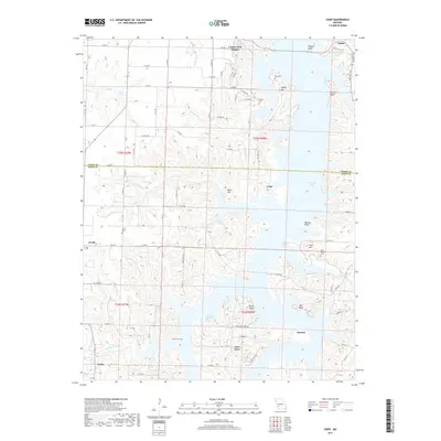 2017 Crisp2017 Print · USGSCovers Umber View Heights, including Arcola, Neola, and other nearby areas
 - 2017 Map of Stockton, 2017 Print
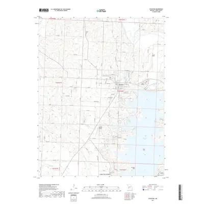 2017 Stockton2017 Print · USGSCovers Umber View Heights, including Stockton, Cedar County, and other nearby areas
 - 2021 Map of Stockton, 2021 Print
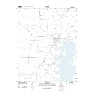
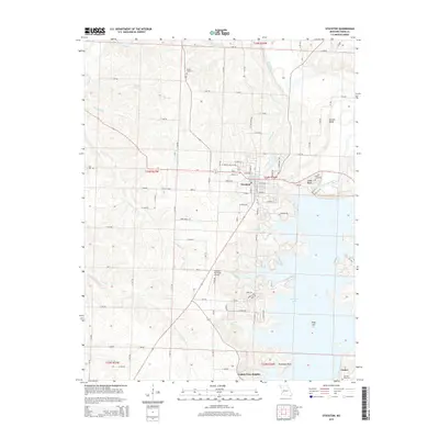
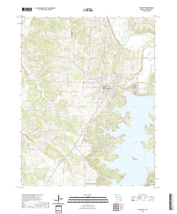 2021 Stockton2021 Print · USGSStockton and the surrounding Cedar County landscape are shown here as the local geography is defined by the winding reaches of Stockton Lake. Researchers can locate historic burial sites like Pankey Cem and Cedar Cem or trace the civic center at the Cedar County Courthouse.
 - 2021 Map of Crisp, 2021 Print
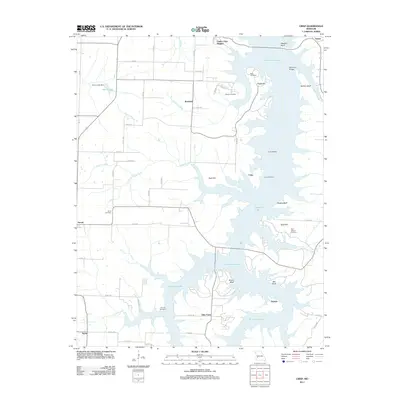
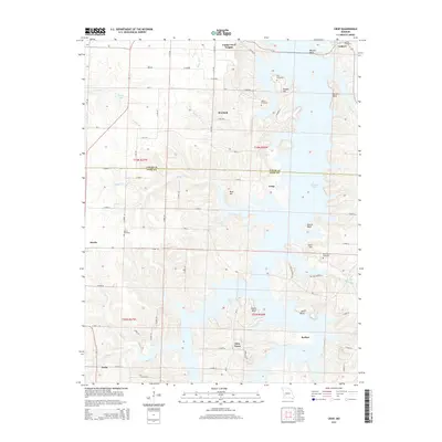
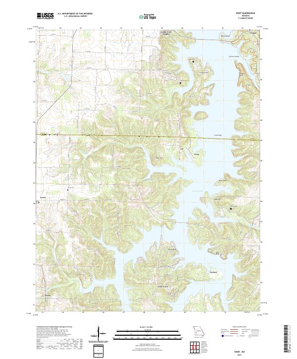 2021 Crisp2021 Print · USGSMissouri's lake country in the Ozark foothills is shown here as it appeared in recent years, where modern water management meets old settlements. Genealogists can locate several family burial grounds, including Acord Cem and Bald Mound Cem, alongside the communities of Arcola and Seybert.
End of results
Showing maps 1-15 of 15
Top cities near Umber View Heights
- Stockton historical maps
- Greenfield historical maps
- Humansville historical maps
- Fair Play historical maps
- Jerico Springs historical maps
- Dadeville historical maps
See more
Frequently asked questions
- What are the different types of historical maps available for Umber View Heights?
- What is the oldest map of Umber View Heights?
- Where can I purchase historical maps of Umber View Heights for my home or office?
- Where can I download high-res historical maps of Umber View Heights?
- Are there historical topographic maps available for Umber View Heights?
- Is there historical aerial imagery available for Umber View Heights?
- Where are historical maps of Umber View Heights sourced from?