2000s (21st Century) Maps of Excelsior Springs, Missouri
Explore 12 historic maps of Excelsior Springs from the 2000s (21st Century). These maps offer a rare glimpse into what life looked like during the 2000s — showing old roads, neighborhoods, homes, and landmarks that have changed or disappeared over time.
Whether you're researching your family's past, planning a metal detecting trip, or studying how Excelsior Springs's landscape evolved across the 2000s, these high-resolution maps are a powerful tool for exploring the history of this region.
- Focus on a specific era: All maps on this page are from the 2000s, giving you a focused view of this time period.
- See what’s changed: Compare century-old streets, trails, and buildings to today's modern landscape using overlays and satellite layers.
- Research with precision: Use these maps for genealogy, historical research, land use analysis, or educational projects.
- View, download, or print: Maps are fully viewable online in high resolution, and can be downloaded or printed for your own records.
Start exploring Excelsior Springs's history through authentic maps from the 2000s. This is your window into the past.
Excelsior Springs, MO maps
(12)- 2012 Map of Kearney, 2012 Print
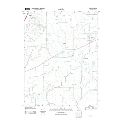 2012 Kearney2012 Print · USGSCovers Excelsior Springs, including Liberty, Kearney, and other nearby areas
 - 2012 Map of Excelsior Springs, 2012 Print
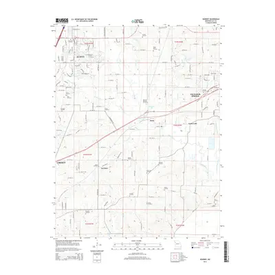
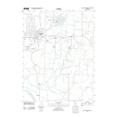 2012 Excelsior Springs2012 Print · USGSCovers Excelsior Springs, including Crystal Lakes, Homestead, and other nearby areas
 - 2012 Map of Lawson, 2012 Print
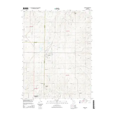
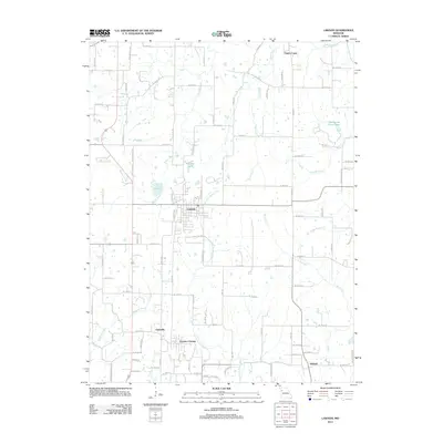 2012 Lawson2012 Print · USGSCovers Excelsior Springs, including Lawson, Claysville, and other nearby areas
 - 2014 Map of Excelsior Springs, 2014 Print
 2014 Excelsior Springs2014 Print · USGSCovers Excelsior Springs, including Crystal Lakes, Homestead, and other nearby areas
 - 2014 Map of Kearney, 2014 Print
 2014 Kearney2014 Print · USGSCovers Excelsior Springs, including Liberty, Kearney, and other nearby areas
 - 2014 Map of Lawson, 2014 Print
 2014 Lawson2014 Print · USGSCovers Excelsior Springs, including Lawson, Claysville, and other nearby areas
 - 2017 Map of Excelsior Springs, 2017 Print
 2017 Excelsior Springs2017 Print · USGSCovers Excelsior Springs, including Crystal Lakes, Homestead, and other nearby areas
 - 2017 Map of Lawson, 2017 Print
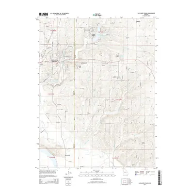
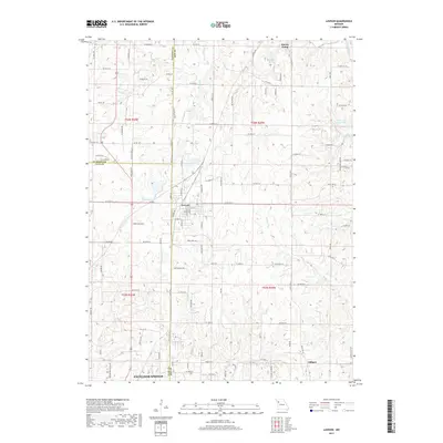 2017 Lawson2017 Print · USGSCovers Excelsior Springs, including Lawson, Claysville, and other nearby areas
 - 2017 Map of Kearney, 2017 Print
 2017 Kearney2017 Print · USGSCovers Excelsior Springs, including Liberty, Kearney, and other nearby areas
 - 2021 Map of Excelsior Springs, 2021 Print
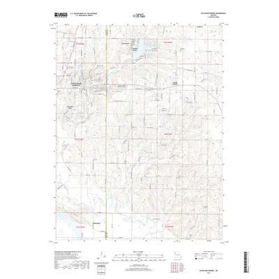
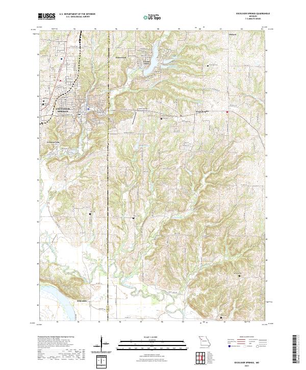 2021 Excelsior Springs2021 Print · USGSExcelsior Springs and the Clay-Ray county border come alive in this recent survey of the Missouri countryside. Genealogists can locate family sites at Crown Hill Cem, Turner Cem, and Rowland Cem while tracing the Fishing River basin.
 - 2021 Map of Kearney, 2021 Print
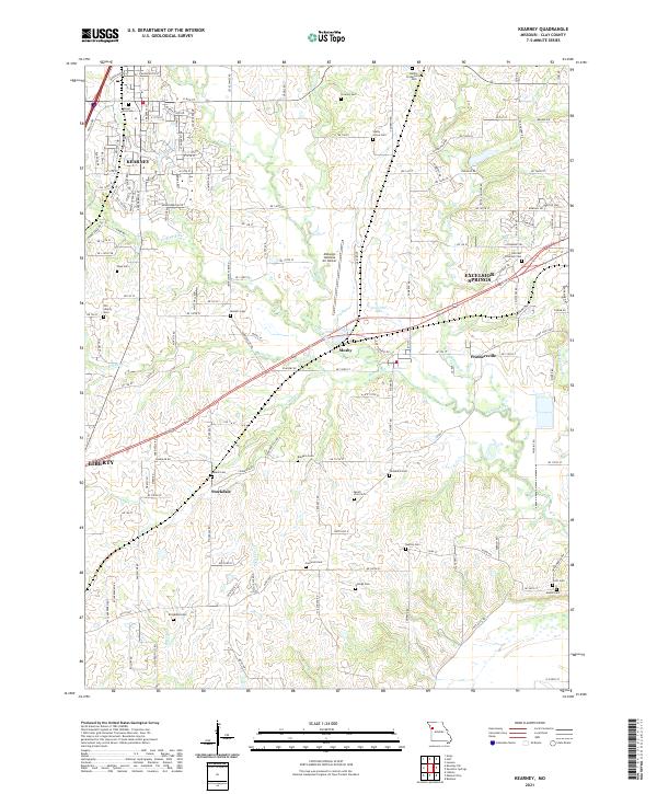 2021 Kearney2021 Print · USGSClay County at the start of the 2020s shows the expansion of Kearney and the western reaches of Excelsior Springs. Genealogists and local historians can trace legacy sites like Old Liberty Cem, Hillcrest Excelsior Cem, and the settlement at Mosby.
 - 2021 Map of Lawson, 2021 Print
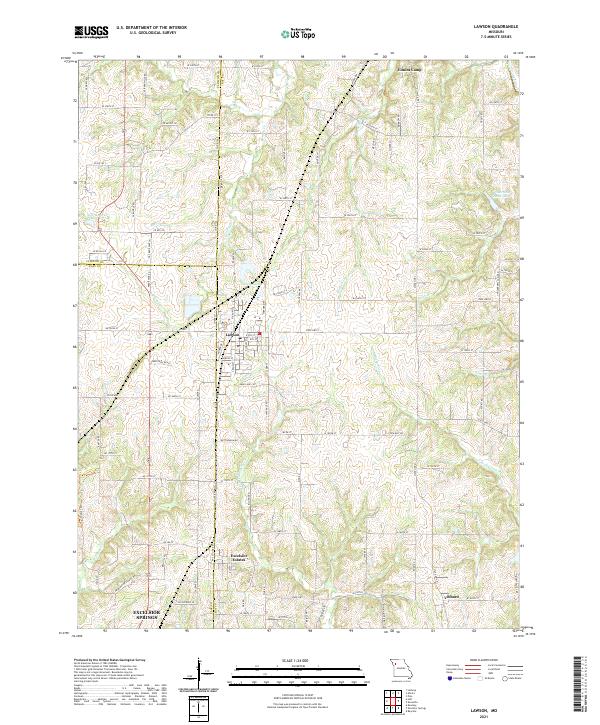 2021 Lawson2021 Print · USGSThe tri-county border of Clinton, Clay, and Ray Counties comes into focus in this early 21st-century study of the Missouri countryside. Researchers can trace the layout of small communities like Lawson and Vibbard or follow the winding courses of the S Fork Fishing River and Rocky Fork.
End of results
Showing maps 1-12 of 12
Top cities near Excelsior Springs
- Kansas City historical maps
- Independence historical maps
- Liberty historical maps
- Kearney historical maps
- Pleasant Valley historical maps
- Buckner historical maps
See more
Top neighborhoods of Excelsior Springs
Frequently asked questions
- What are the different types of historical maps available for Excelsior Springs?
- What is the oldest map of Excelsior Springs?
- Where can I purchase historical maps of Excelsior Springs for my home or office?
- Where can I download high-res historical maps of Excelsior Springs?
- Are there historical topographic maps available for Excelsior Springs?
- Is there historical aerial imagery available for Excelsior Springs?
- Where are historical maps of Excelsior Springs sourced from?