2020s Maps of Polk Township, Missouri
Explore 4 historic maps of Polk Township from the 2020s. These maps offer a rare glimpse into what life looked like during the 2020s — showing old roads, neighborhoods, homes, and landmarks that have changed or disappeared over time.
Whether you're researching your family's past, planning a metal detecting trip, or studying how Polk Township's landscape evolved across the 2020s, these high-resolution maps are a powerful tool for exploring the history of this region.
- Focus on a specific era: All maps on this page are from the 2020s, giving you a focused view of this time period.
- See what’s changed: Compare century-old streets, trails, and buildings to today's modern landscape using overlays and satellite layers.
- Research with precision: Use these maps for genealogy, historical research, land use analysis, or educational projects.
- View, download, or print: Maps are fully viewable online in high resolution, and can be downloaded or printed for your own records.
Start exploring Polk Township's history through authentic maps from the 2020s. This is your window into the past.
Polk Township, MO maps
(4)- 2021 Map of King City, 2021 Print
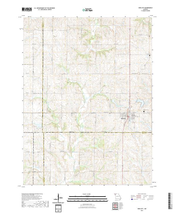 2021 King City2021 Print · USGSKing City sits at the intersection of Gentry, Andrew, and DeKalb counties in this 2021 survey of the Missouri prairie. Genealogists and local researchers can locate King City Cem, trace the drainage of the Third Fork, and explore the area around Limpp Community State Lake.
 - 2021 Map of Ford City, 2021 Print
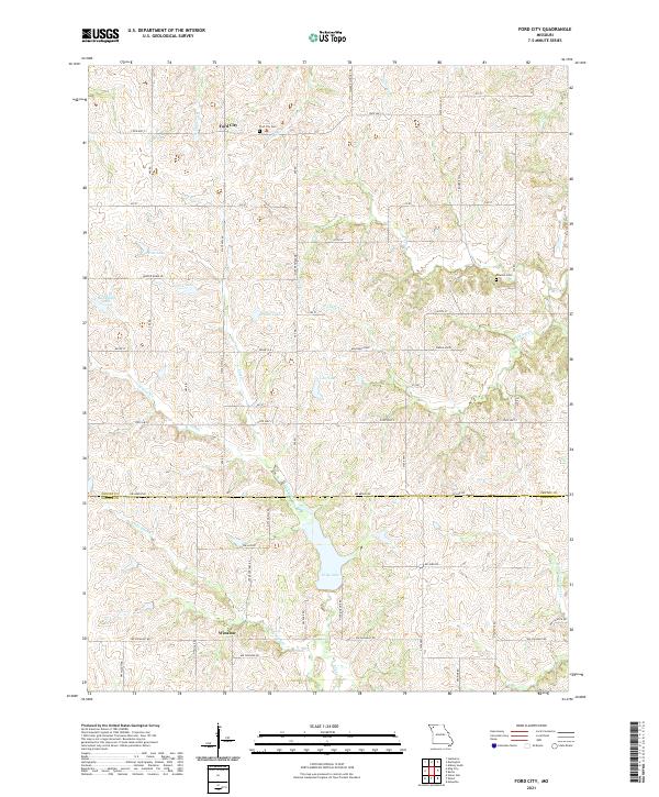 2021 Ford City2021 Print · USGSGentry and DeKalb counties are shown in detail in this modern survey of the Missouri countryside. Researchers can locate family sites near Ford City, Winslow, and Moulton Cem, or trace local water features like King Lake and Sandy Hook Cr.
 - 2021 Map of Union Star, 2021 Print
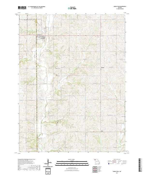 2021 Union Star2021 Print · USGSThe borderlands of Andrew and DeKalb Counties are captured here in the early twenty-first century, centered on the grid of Union Star. Genealogists and local historians can trace legacy burial grounds like Ogle Grove Cem and Oak Grove Cem tucked away between the bends of Third Fork.
 - 2021 Map of Wood, 2021 Print
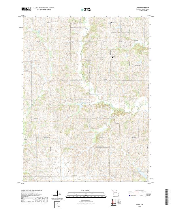 2021 Wood2021 Print · USGSDeKalb County’s agricultural heartland is documented here in the early twenty-first century, showing a landscape defined by generational family farms. Researchers can locate ancestral sites at Butler Cem, Smith Cem, and Botts Cem along the Little Third Fork.
End of results
Showing maps 1-4 of 4
Top cities near Polk Township
- Saint Joseph historical maps
- Stanberry historical maps
- Maysville historical maps
- King City historical maps
- Union Star historical maps
- Clarksdale historical maps
See more
Top neighborhoods of Polk Township
Frequently asked questions
- What are the different types of historical maps available for Polk Township?
- What is the oldest map of Polk Township?
- Where can I purchase historical maps of Polk Township for my home or office?
- Where can I download high-res historical maps of Polk Township?
- Are there historical topographic maps available for Polk Township?
- Is there historical aerial imagery available for Polk Township?
- Where are historical maps of Polk Township sourced from?