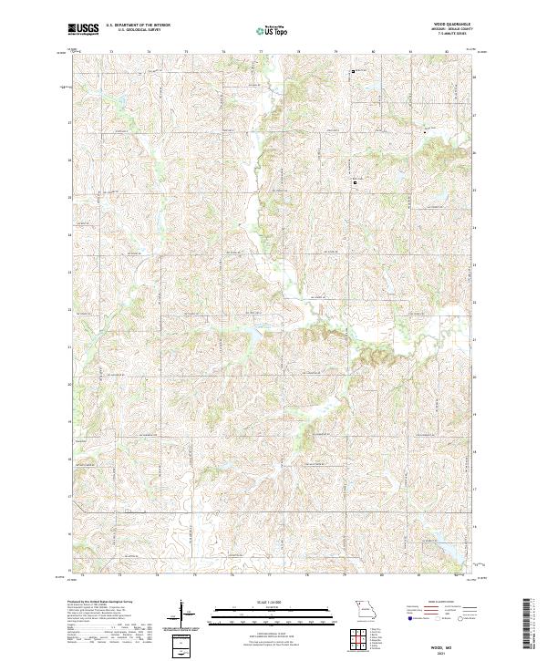
2021 Map of Wood
USGS Topo · Published 2021About this map
Little Third Fork meanders through the rolling agricultural landscape of DeKalb County, Missouri, forming a central drainage corridor for this rural district. The map reveals a land divided by a rigorous grid of section lines and county roads, where family-named landmarks like Butler Cem and Smith Cem reflect generations of local settlement. These small burial grounds, including Botts Cem and Sharp Cem, are key markers for genealogists tracing family histories in this corner of the state.
Find a feature on this map
42 named features on this map. Tap any name to fly to it.
Don’t see what you’re looking for? This feature index may not catch every label — zoom into the map to look around manually.
Map Details
Editions of this 2021 Wood Map
This is the sole edition of this map. No revisions or reprints were ever made.
Historical Maps of Polk Township Through Time
4 maps found