2020s Maps of Douglas County, Missouri
Explore 25 historic maps of Douglas County from the 2020s. These maps offer a rare glimpse into what life looked like during the 2020s — showing old roads, neighborhoods, homes, and landmarks that have changed or disappeared over time.
Whether you're researching your family's past, planning a metal detecting trip, or studying how Douglas County's landscape evolved across the 2020s, these high-resolution maps are a powerful tool for exploring the history of this region.
- Focus on a specific era: All maps on this page are from the 2020s, giving you a focused view of this time period.
- See what’s changed: Compare century-old streets, trails, and buildings to today's modern landscape using overlays and satellite layers.
- Research with precision: Use these maps for genealogy, historical research, land use analysis, or educational projects.
- View, download, or print: Maps are fully viewable online in high resolution, and can be downloaded or printed for your own records.
Start exploring Douglas County's history through authentic maps from the 2020s. This is your window into the past.
Douglas County, MO maps
(25)- 2021 Map of Ava, 2021 Print
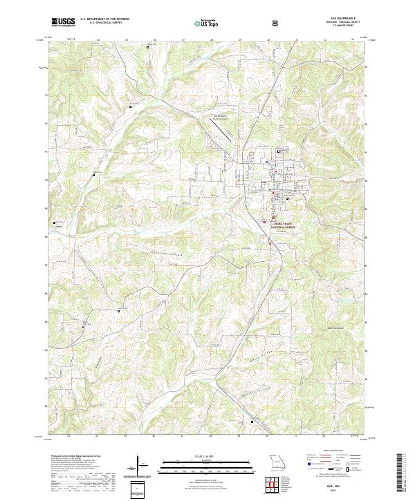 2021 Ava2021 Print · USGSThe Douglas County seat at Ava is shown here in the early 2020s alongside its surrounding hollows and highlands. Genealogists can trace numerous local burial grounds including Tower Hill Cem, Mount Tabor Cem, and Arno Cem near the Arno settlement.
 - 2021 Map of Sweden, 2021 Print
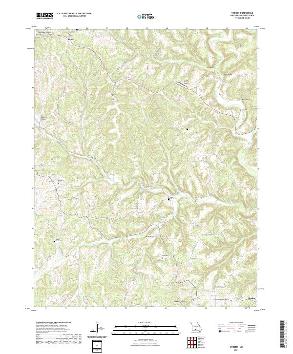 2021 Sweden2021 Print · USGSThe rural hills of Douglas County are captured here in the early twenty-first century, showcasing a landscape of isolated ridges and winding hollows. Genealogists can locate numerous family burial grounds like Whites Creek Cem and Roper Cem near the historic settlements of Sweden and Basher.
 - 2021 Map of Nichols Knob, 2021 Print
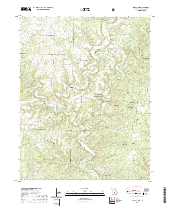 2021 Nichols Knob2021 Print · USGSDouglas County’s river-carved landscape is shown in detail during the early 2020s, centered on the settlement of Topaz. Researchers can trace old family sites and landmarks like the Bittick Cem, Nichols Knob, and the headwaters of the North Fork River.
 - 2021 Map of Brushyknob, 2021 Print
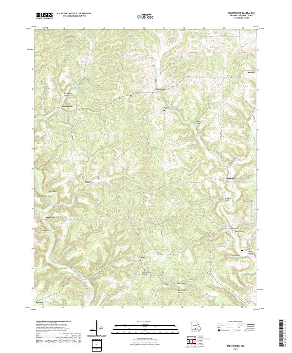 2021 Brushyknob2021 Print · USGSThe rural Ozarks of Douglas County are documented here in the early twenty-first century, showing a landscape defined by deep-cut hollows and spring-fed creeks. Researchers can trace family-named landmarks and old burial grounds like Clever Creek Cem and Negro Henry Hollow.
 - 2021 Map of Dora, 2021 Print
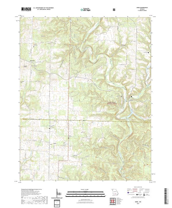 2021 Dora2021 Print · USGSThe Ozark plateau near the Douglas and Ozark County line is shown here in the early 2020s, centered on the community of Dora. Family historians can locate several local burial grounds, including Sweeton Cem, Fish Cem, and Cudworth Cem near Twin Bridges.
 - 2021 Map of Keltner, 2021 Print
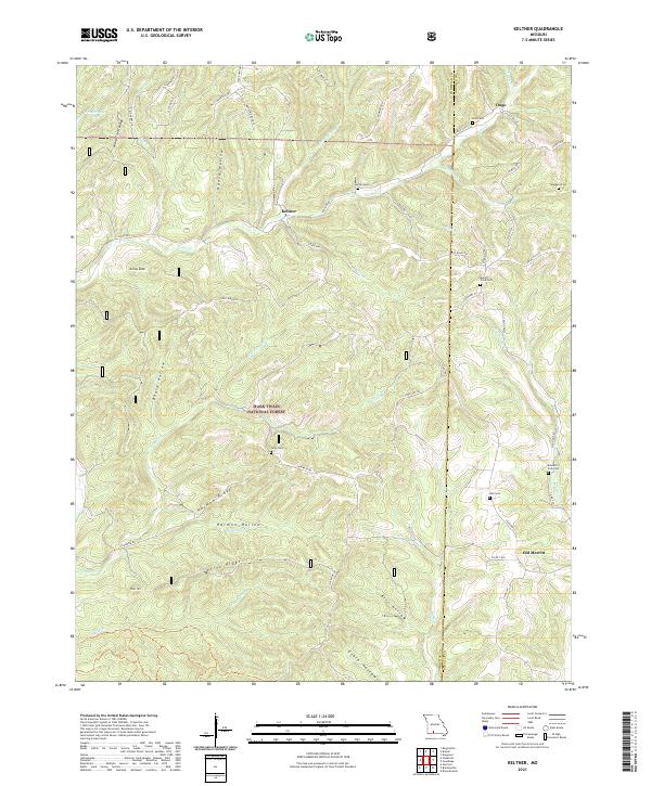 2021 Keltner2021 Print · USGSChristian and Douglas Counties are shown in the early twenty-first century, centered on the Ozark highlands near Keltner and Ongo. Researchers can trace old family burial sites like Maggard Cem and Hall Cem or follow the waters of Swan Cr.
 - 2021 Map of Smallett, 2021 Print
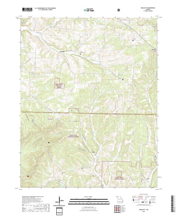 2021 Smallett2021 Print · USGSThe Douglas and Ozark County border comes alive in this study of the Ozark highlands, where small settlements like Smallett and Squires follow the winding creek valleys. Researchers can trace family history through sites like the Norris - Piland Cem or the remote Krider Cem.
 - 2021 Map of Wasola, 2021 Print
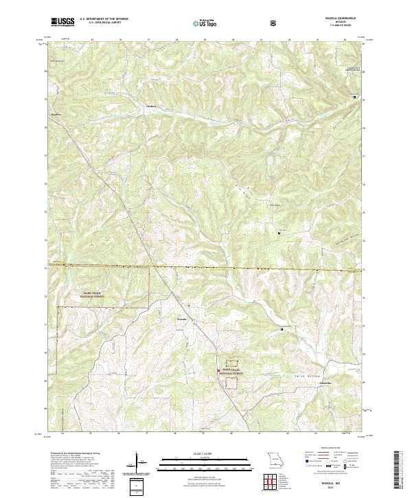 2021 Wasola2021 Print · USGSThe Douglas and Ozark county line in the early twenty-first century reveals a landscape of protected forest and high-ridge settlements. Researchers can trace rural lineages at Loftin Cem and Noble Cem or locate the Sweden Fork Natural Bridge near Girdner.
 - 2021 Map of Brownbranch, 2021 Print
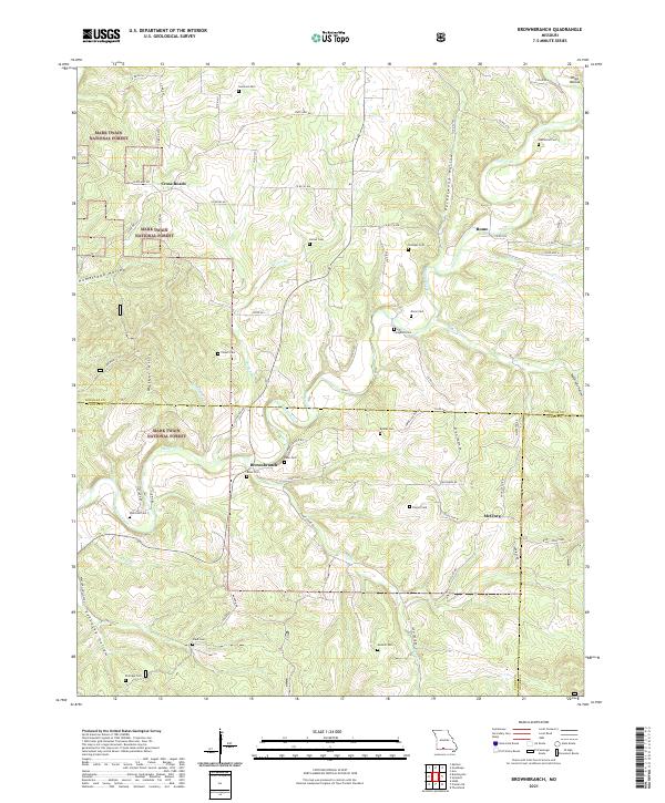 2021 Brownbranch2021 Print · USGSThe Ozark highlands at the meeting of three counties were defined by scattered hill settlements and forest life in the early 2020s. Trace local family roots through numerous burial sites like Watterson Cem and Dixon Cem near the banks of Beaver Creek.
 - 2021 Map of Gentryville, 2021 Print
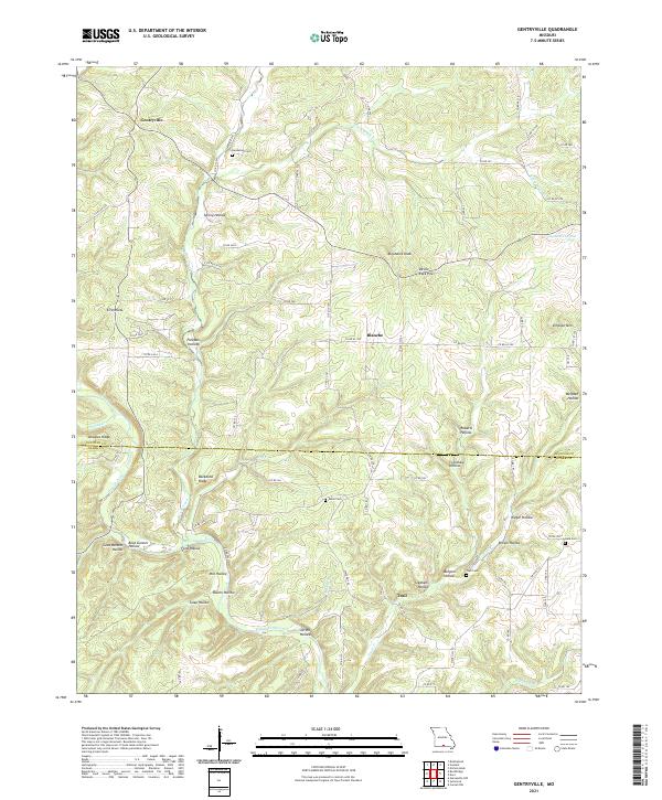 2021 Gentryville2021 Print · USGSThe Missouri Ozarks along the Douglas and Ozark county line are documented here in detail. Researchers can trace family history through several remote burial grounds like Henderson Cem and Eaton Cem or locate landmarks such as Devils Rock Pile and Backbone Ridge.
 - 2021 Map of Dyestone Mountain, 2021 Print
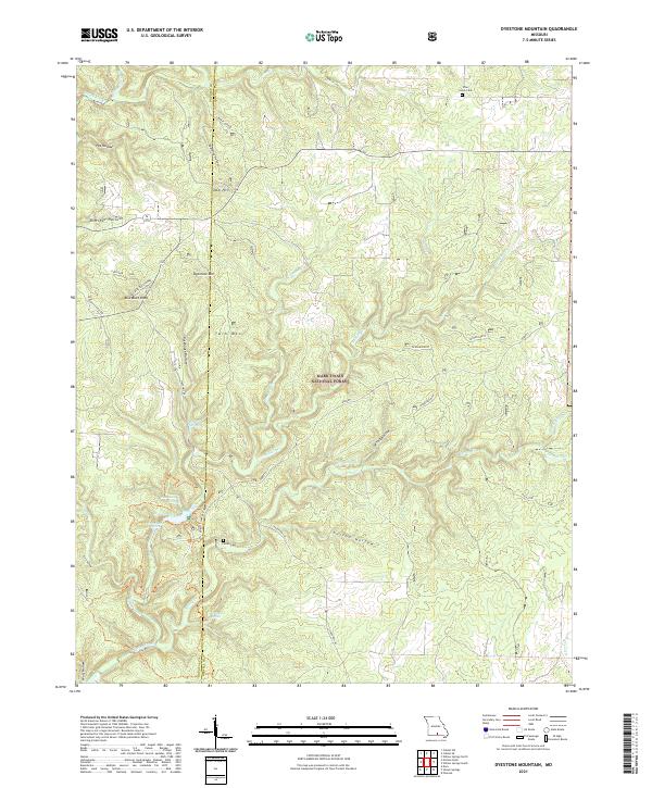 2021 Dyestone Mountain2021 Print · USGSThe Missouri Ozarks are captured here at the Douglas and Howell county line within the Mark Twain National Forest. Genealogists and hikers can trace the geography of Pine Grove Cem, the Liberty School, and the rugged creek basins of Noblett Cr.
 - 2021 Map of Rockbridge, 2021 Print
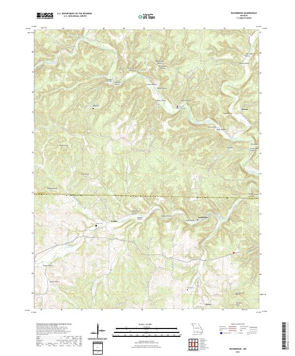 2021 Rockbridge2021 Print · USGSThe Douglas and Ozark county line is captured here in the modern era, showing a landscape defined by deep hollows and rural community centers. Genealogists and historians can trace family roots through Souder Cemetery, Rockbridge, and the distinctive Devils Backbone ridge.
 - 2021 Map of Goodhope, 2021 Print
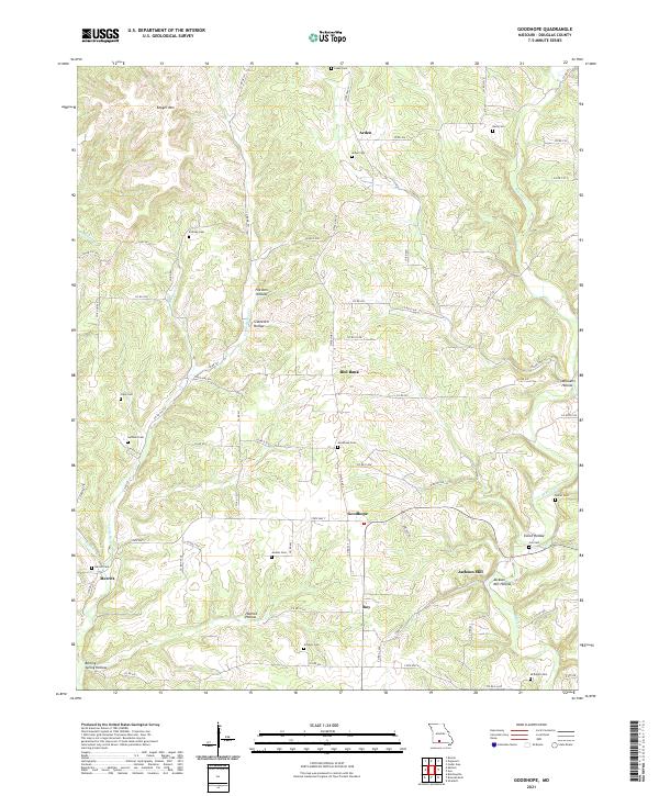 2021 Goodhope2021 Print · USGSDouglas County’s rural highlands come into focus in this recent survey of the Missouri Ozarks. Genealogists and local historians can trace family land ties through numerous burial sites like Stillings Cem, Huffman Cem, and the landmark Jackson Mill.
 - 2021 Map of Bradleyville, 2021 Print
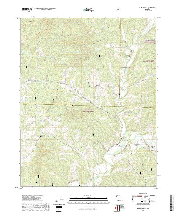 2021 Bradleyville2021 Print · USGSThe Ozark highlands near the Taney and Douglas county lines are shown here in detail, centered on the community of Bradleyville. Genealogists can trace family footprints across numerous hill-country burial sites, including Mills Cem, Roller Cem, and Whitaker Cem.
 - 2021 Map of Siloam Springs, 2021 Print
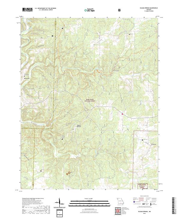 2021 Siloam Springs2021 Print · USGSHowell County's Ozark highlands are captured here in the early twenty-first century, showing the rural communities of Siloam Springs and Roosevelt. Researchers can trace local family history through several sites like Thornton - Roosevelt Cem and Mitts Cem.
 - 2021 Map of Vanzant, 2021 Print
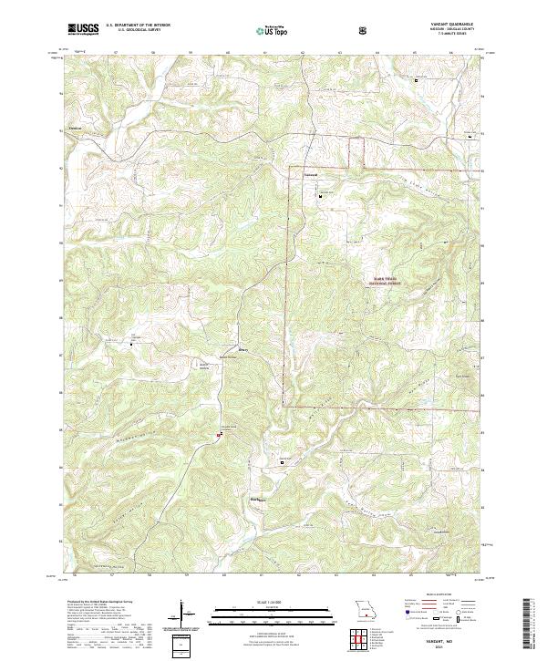 2021 Vanzant2021 Print · USGSThe Douglas County hills come into focus in the early 2020s, showing a landscape defined by the Mark Twain National Forest and isolated settlements. Genealogists and local historians can pinpoint family burial sites like Pleasant Home Cemetery and Tedrick Cem or trace the hollows of Jim Coble Hollow.
 - 2021 Map of Mountain Grove South, 2021 Print
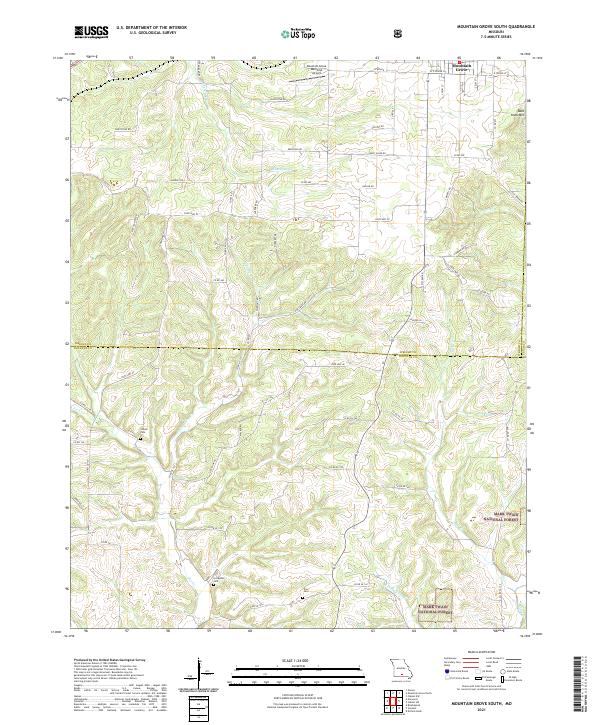 2021 Mountain Grove South2021 Print · USGSThe southern outskirts of Mountain Grove meet the Ozark timberlands in the early 2020s, revealing a landscape of winding creek prongs and high ridges. Genealogists can locate several rural burial grounds including Strunk Cem and Livingston Cem near the headwaters of Fox Cr.
 - 2021 Map of Dogwood, 2021 Print
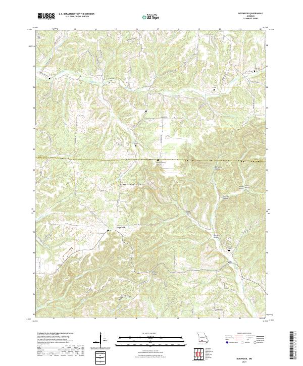 2021 Dogwood2021 Print · USGSOzark ridge-and-hollow life comes into focus in the early 2020s near the border of Webster and Douglas counties. Genealogists can trace family heritage through numerous small burial grounds including Hammons Family Farm Cem, Philpott Cem, and Silvey Cem.
 - 2021 Map of Norwood, 2021 Print
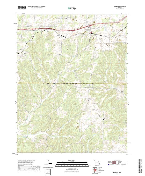 2021 Norwood2021 Print · USGSThe Missouri Ozarks are captured here at the Wright and Douglas county line as they appeared in recent years. Genealogists and local historians can locate many family burial sites, including Rutherford Cem, Ryan Cem, and Stark Cem across the ridge-and-hollow terrain.
 - 2021 Map of Mansfield, 2021 Print
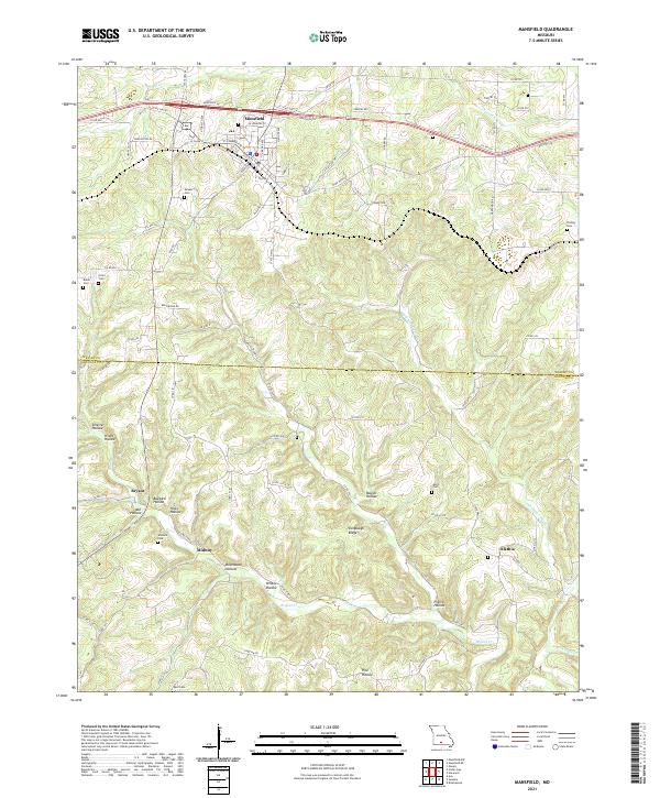 2021 Mansfield2021 Print · USGSThe Wright and Douglas County borderlands are documented here in the early 2020s, showing the Ozark settlement of Mansfield and its outlying rural communities. Genealogists can locate family burial sites like Deaker Cem and Findley Cem or trace the hollows of Bryant Cr.
 - 2021 Map of Cedar Gap, 2021 Print
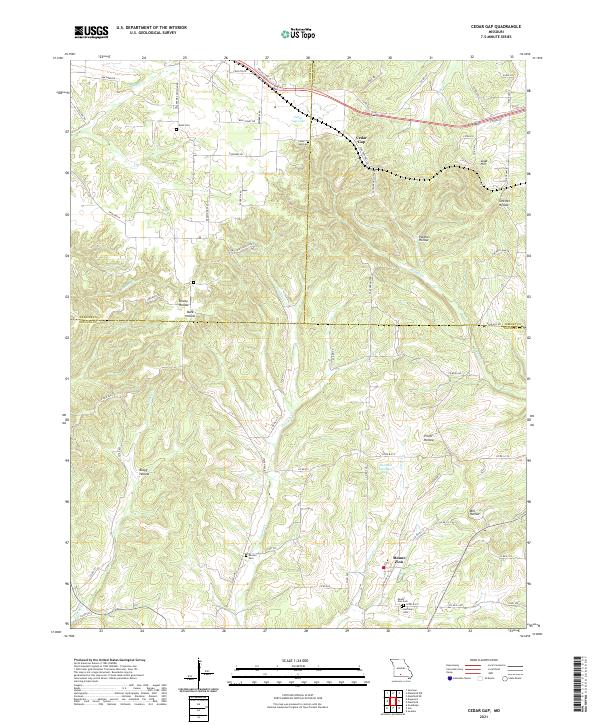 2021 Cedar Gap2021 Print · USGSThe Missouri Ozark highlands are captured here at the triple-border of Webster, Wright, and Douglas counties in the early 2020s. Researchers can locate numerous family burial grounds like Huffman Cemetery and Rush Cemetery alongside rural centers like Mount Zion.
 - 2021 Map of Bruner, 2021 Print
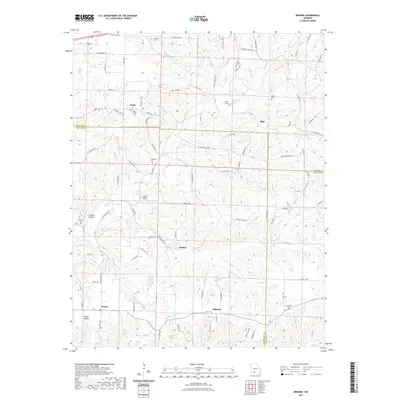 2021 Bruner2021 Print · USGSChristian County and its surrounding borders come into focus in the early 2020s, showing a landscape defined by small Ozark communities and creek valleys. Genealogists can locate numerous burial sites like Temple Hill Cem and Hyde Cem near the settlements of Elkhead and Abadyl.
 - 2021 Map of Cabool SE, 2021 Print
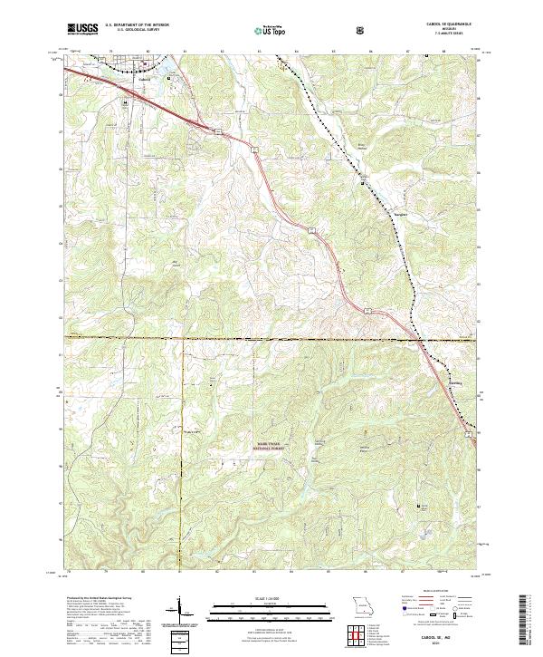 2021 Cabool SE2021 Print · USGSThe Ozark plateau south of Cabool comes into focus in this recent survey, capturing the rural communities of Sargent and Sterling. Genealogists can trace burial sites at Cedar Bluff Cem and Jones Cem across the wooded ridges of Mark Twain National Forest.
 - 2021 Map of Cabool SW, 2021 Print
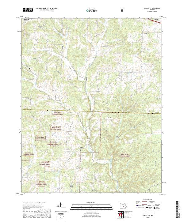 2021 Cabool SW2021 Print · USGSTexas and Douglas counties come into focus in the early 2020s, showing the intersection of agricultural land and the Mark Twain National Forest. Researchers can trace old family roots near the Macedonia Cem or follow the waters of the N Fork River and Creasy Hollow.
 - 2023 Map of Bruner, 2023 Print
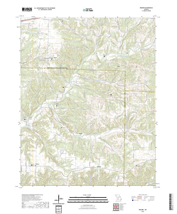 2023 Bruner2023 Print · USGSChristian County, Missouri, is shown here as a landscape of rural crossroads and creek valleys in the modern era. Genealogists can trace family names at Sartin Cem or West Finley Cem and find old community hubs like Elkhead and Abadyl.
End of results
Showing maps 1-25 of 25
Top cities of Douglas County
Frequently asked questions
- What are the different types of historical maps available for Douglas County?
- What is the oldest map of Douglas County?
- Where can I purchase historical maps of Douglas County for my home or office?
- Where can I download high-res historical maps of Douglas County?
- Are there historical topographic maps available for Douglas County?
- Is there historical aerial imagery available for Douglas County?
- Where are historical maps of Douglas County sourced from?