2010s Maps of Douglas County, Missouri
Explore 72 historic maps of Douglas County from the 2010s. These maps offer a rare glimpse into what life looked like during the 2010s — showing old roads, neighborhoods, homes, and landmarks that have changed or disappeared over time.
Whether you're researching your family's past, planning a metal detecting trip, or studying how Douglas County's landscape evolved across the 2010s, these high-resolution maps are a powerful tool for exploring the history of this region.
- Focus on a specific era: All maps on this page are from the 2010s, giving you a focused view of this time period.
- See what’s changed: Compare century-old streets, trails, and buildings to today's modern landscape using overlays and satellite layers.
- Research with precision: Use these maps for genealogy, historical research, land use analysis, or educational projects.
- View, download, or print: Maps are fully viewable online in high resolution, and can be downloaded or printed for your own records.
Start exploring Douglas County's history through authentic maps from the 2010s. This is your window into the past.
Douglas County, MO maps
(72)- 2011 Map of Norwood, 2011 Print
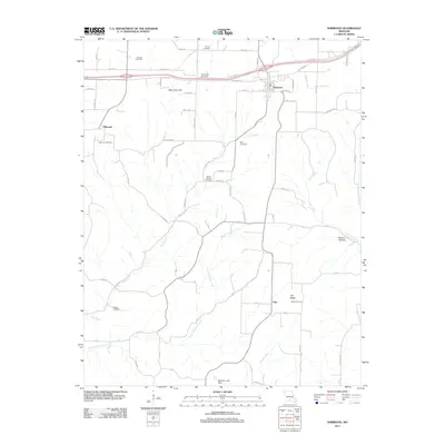 2011 Norwood2011 Print · USGSWright County at the start of the 2010s shows a landscape of rail-side towns and small hilltop settlements connected by winding creek-valley roads. Researchers can locate numerous local landmarks such as Macomb Cemetery, Samson Hollow, and the rural community of Filer.
 - 2011 Map of Mansfield, 2011 Print
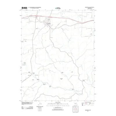 2011 Mansfield2011 Print · USGSWright County in the early twenty-first century maintains its deep-rooted rural character, centered on the community of Mansfield. Researchers can trace local lineage through several family-named burial grounds like Deaker Cemetery and Wallace Cemetery or locate old crossroads at Olathia.
 - 2011 Map of Dogwood, 2011 Print
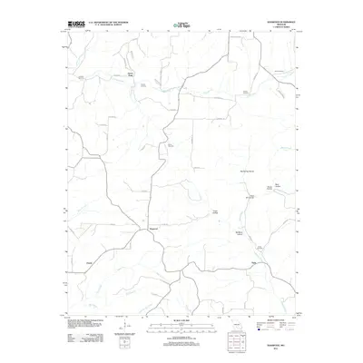 2011 Dogwood2011 Print · USGSThe Missouri Ozarks are captured here in the early twenty-first century, showing a rural landscape of ridges and deep hollows. Genealogists and local historians can trace family ties through several remote burial sites, including Goss Cemetery and Ellison Cemetery.
 - 2011 Map of Cedar Gap, 2011 Print
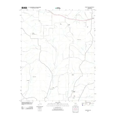 2011 Cedar Gap2011 Print · USGSMissouri's Ozark plateau comes into focus in the early twenty-first century, showing a rural landscape defined by deep hollows and creek headwaters. Researchers can locate numerous historic burial grounds and crossroads communities like Zenda, Granada, and the Huffman Cemetery.
 - 2012 Map of Cabool SE, 2012 Print
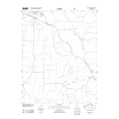 2012 Cabool SE2012 Print · USGSTexas County settlements and rural cemeteries are documented in this early twenty-first-century survey south of the Big Piney River. Researchers can trace local lineage through the Jones Cemetery and Spring Valley Cemetery or locate the Sterling Lookout Tower and John Foster Dam.
 - 2012 Map of Cabool SW, 2012 Print
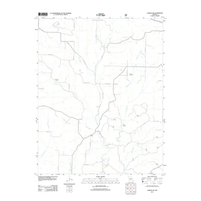 2012 Cabool SW2012 Print · USGSTexas County rural life is captured in the early twenty-first century as the Ozark landscape remains centered on the North Fork River valley. Genealogists and local researchers can locate the Macedonia Cemetery, Little Creek School, and the settlement of Ann.
 - 2012 Map of Mountain Grove South, 2012 Print
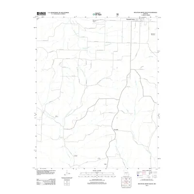 2012 Mountain Grove South2012 Print · USGSThe rural terrain south of Mountain Grove comes into focus in the early 2010s. Genealogists and local historians can trace family locations near Strunk Cemetery, the settlement of Goodville, and the banks of Whetstone Creek.
 - 2012 Map of Bruner, 2012 Print
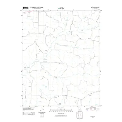 2012 Bruner2012 Print · USGSChristian County's rural landscape is captured here in the early 21st century, revealing a network of small settlements and family histories. Genealogists can locate numerous burial sites including Easter Cemetery and Hyde Cemetery, alongside landmarks like Todd Spring.
 - 2012 Map of Gentryville, 2012 Print
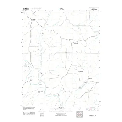 2012 Gentryville2012 Print · USGSDouglas County’s rural landscape is captured here in the early twenty-first century, showing the enduring structure of its Ozark communities. Researchers can locate family landmarks such as Henderson Cemetery or trace the geography of Backbone Ridge and Gentryville.
 - 2012 Map of Rockbridge, 2012 Print
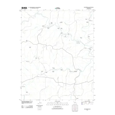 2012 Rockbridge2012 Print · USGSOzark life in the early twenty-first century is captured here through a dense network of hollows and ridges surrounding the Bryant Creek basin. Researchers can locate remote settlements like Rockbridge and Souder or trace family sites at Yates Cemetery and McCord Mill Hollow.
 - 2012 Map of Nichols Knob, 2012 Print
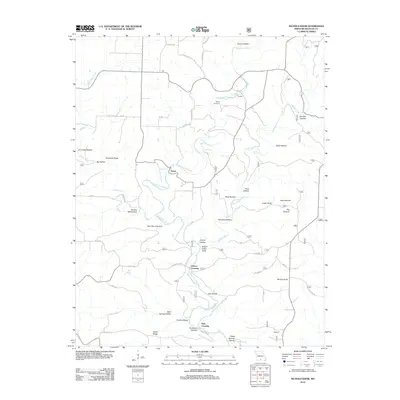 2012 Nichols Knob2012 Print · USGSDouglas County near the start of the 2010s shows a landscape shaped by the North Fork River and early Missouri homesteading. Researchers can trace rural lineages through local landmarks like Bittick Cemetery, Topaz, and the creek-side settlement of Florilla.
 - 2012 Map of Ava, 2012 Print
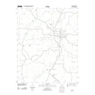 2012 Ava2012 Print · USGSThe community of Ava and its surrounding Ozark hollows are detailed here during the early twenty-first century. Genealogists and local historians can trace family plots at Tower Hill Cemetery and Ritter Cemetery or locate the site of Arno.
 - 2012 Map of Dora, 2012 Print
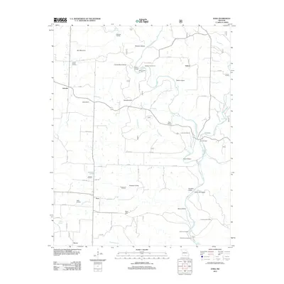 2012 Dora2012 Print · USGSMissouri's Ozark hill country is captured here during the early twenty-first century, showing the rural communities of Dora and Hebron along the North Fork River. Family historians can locate numerous small burial sites like Fish Cemetery and Innman Cemetery, while tracing the springs and hollows that define this landscape.
 - 2012 Map of Sweden, 2012 Print
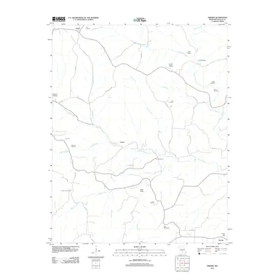 2012 Sweden2012 Print · USGSDouglas County in the early twenty-first century remains a landscape of quiet hollows and family homesteads. Genealogists can trace local roots through small burial sites like Billingsly Cemetery or find former hubs like Larissa and the Sweden Post Office.
 - 2012 Map of Goodhope, 2012 Print
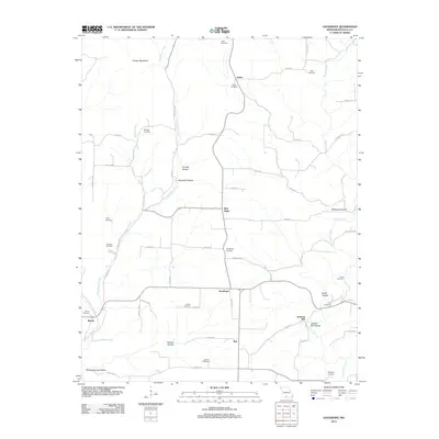 2012 Goodhope2012 Print · USGSDouglas County settlements and family burial grounds are meticulously documented in this Ozark survey from the early 2010s. Trace your roots through numerous sites like Goodhope Cemetery and Huffman Cemetery, or locate the historic site of Jackson Mill.
 - 2012 Map of Bradleyville, 2012 Print
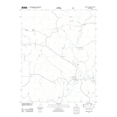 2012 Bradleyville2012 Print · USGSBradleyville and the Beaver Creek valley are documented here in the early twenty-first century, showing a landscape defined by winding hollows and rural outposts. Genealogists can locate several family burial sites including Mills and Roller, or trace old routes like Old Cheese Plant Rd.
 - 2012 Map of Brushyknob, 2012 Print
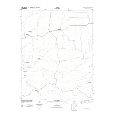 2012 Brushyknob2012 Print · USGSDouglas County in the early 2010s reveals a landscape of deep hollows and rural crossroads settlements. Genealogists and local historians can trace family locations near Clever Creek Cemetery, Brushyknob, and Vera Cruz along the winding Bryant Creek.
 - 2012 Map of Vanzant, 2012 Print
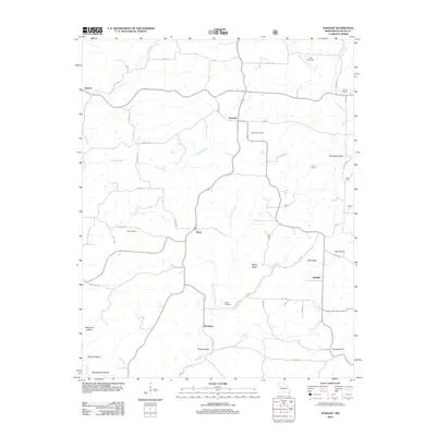 2012 Vanzant2012 Print · USGSDouglas County in the early 2010s remains a landscape of high ridges and rural crossroads communities. Researchers can locate family burial grounds at Tedrick Cemetery and Call Cemetery while tracing old settlements like Vanzant and Buckhart.
 - 2012 Map of Smallett, 2012 Print
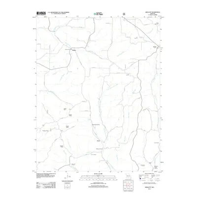 2012 Smallett2012 Print · USGSOzark County at the start of the 2010s reveals a landscape of high ridges and deep hollows connected by winding rural routes. Genealogists can locate several family burial grounds like Holt Cemetery and Krider Cemetery, alongside landmarks such as the Salt Road Post Office.
 - 2012 Map of Wasola, 2012 Print
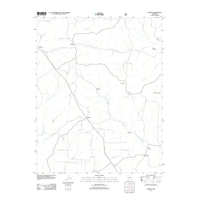 2012 Wasola2012 Print · USGSOzark County at the start of the 2010s reveals a rural landscape defined by deep-set hollows and scattered upland settlements. Trace family heritage and old homesteads near Wasola, Almartha, and the Devils Backbone ridge, or locate remote burial sites like Noble Cemetery.
 - 2012 Map of Dyestone Mountain, 2012 Print
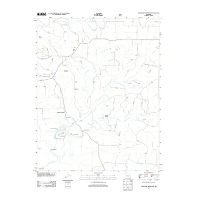 2012 Dyestone Mountain2012 Print · USGSThe Ozark plateau of Howell County is documented here in the early twenty-first century, showing a landscape of deep hollows and high knobs. Researchers can locate the historic Noblett Mill, trace the headwaters of Noblett Creek, and find the Carroll Cemetery.
 - 2012 Map of Siloam Springs, 2012 Print
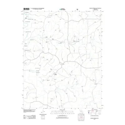 2012 Siloam Springs2012 Print · USGSHowell County at the start of the 2010s reveals a landscape of deep Ozark hollows and quiet rural outposts. Researchers can trace family history through sites like Siloam Springs Cemetery or locate historic landmarks like Pease Mill and The Sinks.
 - 2012 Map of Brownbranch, 2012 Print
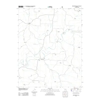 2012 Brownbranch2012 Print · USGSThe rural Ozark uplands of Taney County appear here in the early twenty-first century, centered on the community of Brownbranch. Genealogists can trace numerous family burial sites across the landscape, from Stamper Cemetery to the remote Eldridge Cemetery.
 - 2012 Map of Keltner, 2012 Print
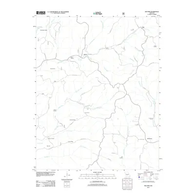 2012 Keltner2012 Print · USGSThe rural Douglas County landscape near Keltner and Ongo is captured here in the early twenty-first century. Researchers can trace local genealogy through numerous burial sites like Harvill Cemetery and Boulder Fork Cemetery or locate landmarks such as Harmon Spring.
 - 2015 Map of Dogwood, 2015 Print
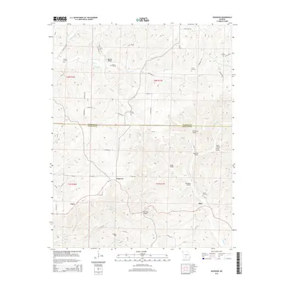 2015 Dogwood2015 Print · USGSThe rural borderlands of Webster and Douglas Counties come into focus in the mid-2010s, showcasing the persistent settlement patterns of the Missouri Ozarks. Researchers can locate several family cemeteries and small communities, including Dogwood, Tigris, and the Silvey Cemetery.
Showing maps 1-25 of 72
Top cities of Douglas County
Frequently asked questions
- What are the different types of historical maps available for Douglas County?
- What is the oldest map of Douglas County?
- Where can I purchase historical maps of Douglas County for my home or office?
- Where can I download high-res historical maps of Douglas County?
- Are there historical topographic maps available for Douglas County?
- Is there historical aerial imagery available for Douglas County?
- Where are historical maps of Douglas County sourced from?