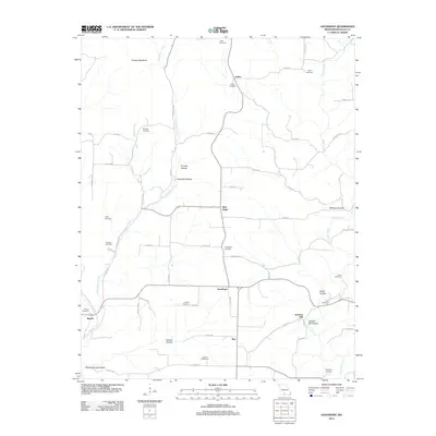
2012 Map of Goodhope
USGS Topo · Published 2012About this map
Goodhope and its surrounding hamlets in Douglas County are characterized by a network of hollows and ridges defined by Little Beaver Creek and Beaver Creek. The landscape is dotted with small, family-named settlements like Arden, Red Bank, and Merritt, each connected by a complex web of county roads. These communities grew around natural resources and water access, evidenced by landmarks such as Jackson Mill and the nearby Jackson Mill Hollow. For the genealogist or local historian, this survey is exceptionally dense with burial sites, identifying over a dozen distinct grounds including Huffman Cemetery, Stillings Cemetery, and Lakey Cemetery. The terrain rises toward Keyger Mountain in the northwest, while the southern reaches feature the Boiling Spring Hollow, suggesting the importance of localized water sources to the early homesteaders and farmers who settled these Missouri hills.
Find a feature on this map
65 named features on this map. Tap any name to fly to it.
Don’t see what you’re looking for? This feature index may not catch every label — zoom into the map to look around manually.
Map Details
Editions of this 2012 Goodhope Map
This is the sole edition of this map. No revisions or reprints were ever made.
Other maps of this area

1936 · Ava
USGS Topo · 1:48,000

1937 · Bradleyville
USGS Topo · 1:48,000

1939 · Fordland
USGS Topo · 1:62,500

1942 · Fordland
USGS Topo · 1:62,500

1942 · Ava
USGS Topo · 1:62,500

1943 · Bradleyville
USGS Topo · 1:62,500

1945 · Ava
USGS Topo · 1:62,500

1945 · Harrison
USGS Topo · 1:250,000

1945 · Bradleyville
USGS Topo · 1:62,500

1949 · Harrison
USGS Topo · 1:250,000