2010s Maps of Franklin County, Missouri
Explore 78 historic maps of Franklin County from the 2010s. These maps offer a rare glimpse into what life looked like during the 2010s — showing old roads, neighborhoods, homes, and landmarks that have changed or disappeared over time.
Whether you're researching your family's past, planning a metal detecting trip, or studying how Franklin County's landscape evolved across the 2010s, these high-resolution maps are a powerful tool for exploring the history of this region.
- Focus on a specific era: All maps on this page are from the 2010s, giving you a focused view of this time period.
- See what’s changed: Compare century-old streets, trails, and buildings to today's modern landscape using overlays and satellite layers.
- Research with precision: Use these maps for genealogy, historical research, land use analysis, or educational projects.
- View, download, or print: Maps are fully viewable online in high resolution, and can be downloaded or printed for your own records.
Start exploring Franklin County's history through authentic maps from the 2010s. This is your window into the past.
Franklin County, MO maps
(78)- 2012 Map of Richwoods, 2012 Print
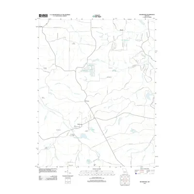 2012 Richwoods2012 Print · USGSRichwoods and the rural stretches of eastern Missouri are captured here just after the turn of the century. Genealogists and historians can trace local family lineages through Saint Stephens Cemetery or locate the site of the Edmonds and Wilcox Furnace and Mill.
 - 2012 Map of Eureka, 2012 Print
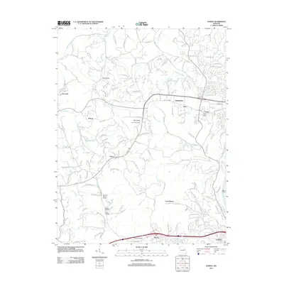 2012 Eureka2012 Print · USGSWildwood and its surrounding Missouri hamlets are shown in the early twenty-first century just as suburban development reached these historic hills. Researchers can trace ancestral locations from Allen Cemetery to old post offices at Grover and Hollow.
 - 2012 Map of Gray Summit, 2012 Print
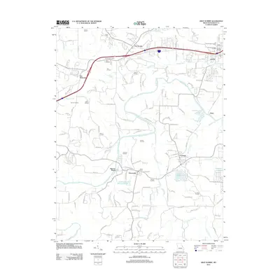 2012 Gray Summit2012 Print · USGSFranklin County in the early twenty-first century reveals a landscape of historic river towns and family burial grounds. Genealogists can trace local history through sites like Saint Bridgets Cemetery, Catawissa, and the uniquely named The Diamonds.
 - 2012 Map of Moselle, 2012 Print
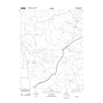 2012 Moselle2012 Print · USGSFranklin County at the start of the 2010s shows a mix of rural Missouri tradition and modern regional infrastructure. Researchers can locate family sites at Pleasant Hill Cemetery, trace the winding Bourbeuse River, or find landmarks like Pohlman Mill.
 - 2012 Map of Pacific, 2012 Print
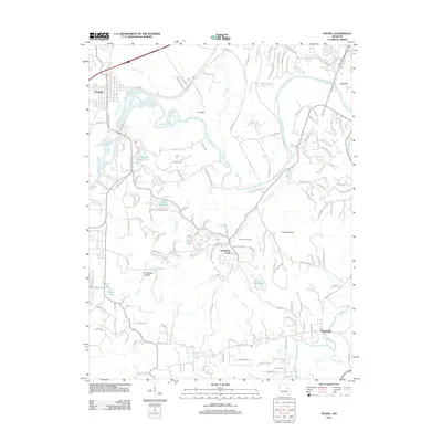 2012 Pacific2012 Print · USGSThe Meramec River valley and the western edge of the St. Louis metro area come into focus in this early 2010s survey. Genealogists and local historians can trace the developments around Pacific and Byrnesville or locate landmarks like Father Dunn Camp and Lake Tekawitha.
 - 2012 Map of Weldon Spring, 2012 Print
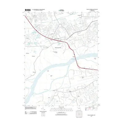 2012 Weldon Spring2012 Print · USGSSaint Charles County's suburban expansion meets its deep industrial and riverfront roots in this recent survey. Researchers can trace family history through sites like Cottleville Cemetery or explore the geography of Howell Island and the Weldon Spring Ordnance Works.
 - 2012 Map of Cedar Hill, 2012 Print
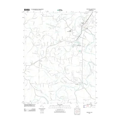 2012 Cedar Hill2012 Print · USGSJefferson County residential growth and rural heritage meet along the Big River in the early 2010s. Researchers can locate family landmarks like Skullbones Cemetery or trace the development of Morse Mill, Dittmer, and Cedar Hill Lakes.
 - 2012 Map of Lonedell, 2012 Print
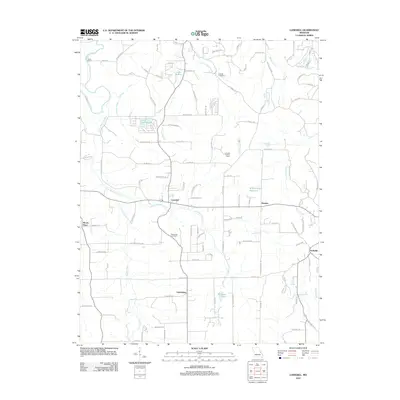 2012 Lonedell2012 Print · USGSJefferson County in the early 2010s is a landscape of rural crossroads and river valleys shaped by the Little Meramec River. Genealogists can trace family landmarks like Finney Cemetery, Woodcock Cemetery, and local landmarks such as Waits Sawmill and the Lonedell Lookout Tower.
 - 2012 Map of Cyclone Hollow, 2012 Print
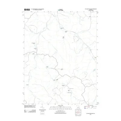 2012 Cyclone Hollow2012 Print · USGSThe rural landscape near Franklin County, Missouri, is revealed in this early twenty-first-century survey. Genealogists and local historians can trace family roots at New Hope Cemetery and Arnold Cemetery or locate the site of James Bakers Sawmill near Huff.
 - 2012 Map of Saint Clair, 2012 Print
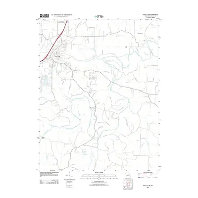 2012 Saint Clair2012 Print · USGSFranklin County's river-carved landscape is shown in detail during the early twenty-first century as suburban growth meets rural tradition. Local researchers can trace old river crossings at Plum Ford, locate Fisher Cemetery, and follow the winding course of the Meramec River.
 - 2012 Map of Labadie, 2012 Print
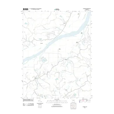 2012 Labadie2012 Print · USGSThe Missouri River valley near the Franklin and St. Charles county line comes to life in this 2012 survey. Historians can trace the rural character of Labadie and Saint Albans or locate the Becker School and the Purina Mills Farm.
 - 2012 Map of Washington East, 2012 Print
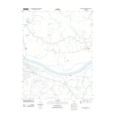 2012 Washington East2012 Print · USGSThe Missouri River bottoms and St. Charles County hills come into focus in this early twenty-first-century survey. Genealogists and local historians can trace family-named sites and landmarks like Saint Peters Cemetery, Ming School, and the Augusta Post Office.
 - 2012 Map of Berger, 2012 Print
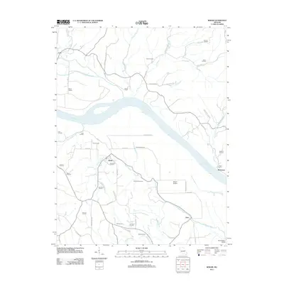 2012 Berger2012 Print · USGSThe Missouri River bottoms and Ozark foothills near the town of Berger come into focus during this early 21st-century survey. Genealogists can trace decades of local family history through numerous sites like Saint Johns Cemetery, Drewel Cemetery, and the settlement at Etlah.
 - 2012 Map of Gerald, 2012 Print
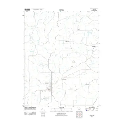 2012 Gerald2012 Print · USGSSettled rural Missouri comes into focus in the early twenty-first century as the town of Gerald expands along its historic road corridors. Genealogists can trace family connections through numerous rural burial grounds like Bates Cemetery or explore small named locales such as Beemont and Jaegers Shop.
 - 2012 Map of Dissen, 2012 Print
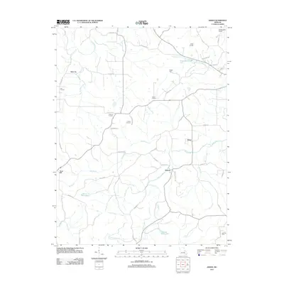 2012 Dissen2012 Print · USGSThis rural Franklin County landscape at the start of the 2010s shows a resilient network of small crossroads and family farmsteads. Genealogists can trace local roots through numerous sites like Kohlbush Cemetery, the historic area of Detmold, and Kohl City.
 - 2012 Map of Leslie, 2012 Print
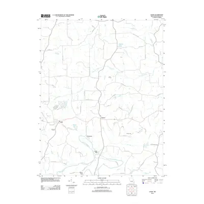 2012 Leslie2012 Print · USGSFranklin County's rural landscape is captured here during the early twenty-first century, centered on the settlements of Leslie and Beaufort. Researchers can trace family history through sites like Butler Cemetery, the historic Noser Mill, and Peters Ford along the Bourbeuse River.
 - 2012 Map of Argo, 2012 Print
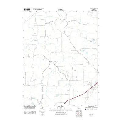 2012 Argo2012 Print · USGSCrawford County's rural character is preserved in this study of the communities around Japan and Argo during the early 2010s. Genealogists can locate numerous burial sites, from the Old Japan Cemetery to Crow Cemetery, along the banks of the Little Bourbeuse River.
 - 2012 Map of Stanton, 2012 Print
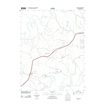 2012 Stanton2012 Print · USGSFranklin County in the early twenty-first century centers on the busy corridor between Stanton and Anaconda. Genealogists and historians can trace land use through local landmarks like Kamper Cemetery, Benson Tourist City, and the winding banks of the Meramec River.
 - 2012 Map of Strain, 2012 Print
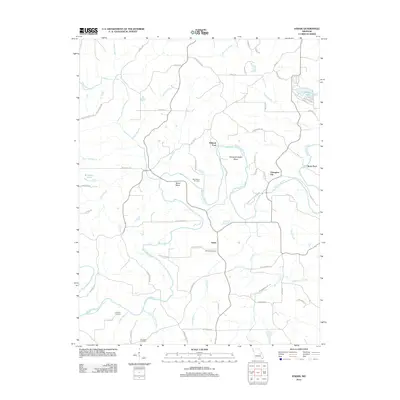 2012 Strain2012 Print · USGSFranklin County's rural interior comes to life in this survey of the early twenty-first century, centered on the winding Bourbeuse River. Genealogists and local historians can trace family roots through sites like Old Japan Cemetery, Schmidt Cemetery, and the historic crossing at Millrock Ford.
 - 2012 Map of Spring Bluff, 2012 Print
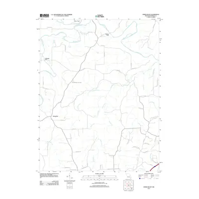 2012 Spring Bluff2012 Print · USGSFranklin County's rural river valleys and spring-fed creeks are captured here in the early twenty-first century. Researchers can trace ancestral connections at the Laubinger Memorial Cemetery or locate historic river crossings like Peters Ford and Laubinger Ford.
 - 2012 Map of Washington West, 2012 Print
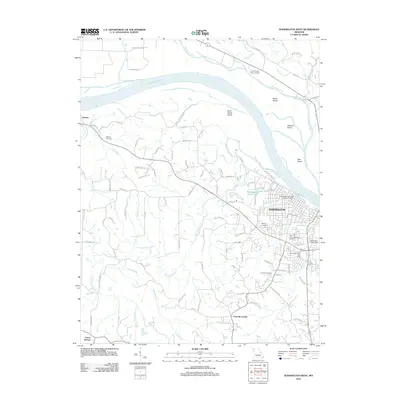 2012 Washington West2012 Print · USGSThe Missouri River waterfront at Washington comes into focus during the early twenty-first century, showing the city alongside its islands and rural neighbors. Trace local history through the Saint Francis Borgia Cemetery, Dundee settlement, and the Washington Water Tower.
 - 2012 Map of New Haven, 2012 Print
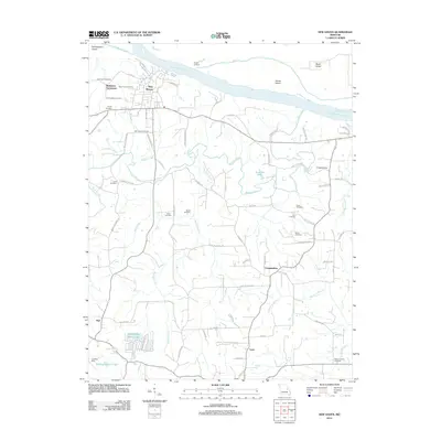 2012 New Haven2012 Print · USGSThe Missouri River town of New Haven and its surrounding countryside are captured here in the early twenty-first century. Genealogists can trace family names and sites across the Baltimore Settlement, Yeager Landing, and numerous rural plots like Nauser Cemetery.
 - 2012 Map of Union, 2012 Print
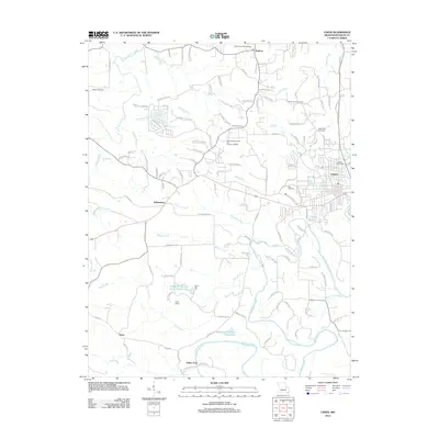 2012 Union2012 Print · USGSFranklin County shows a mix of growing town life and rural tradition during this era. Researchers can trace family sites from Union to Krakow, locating landmarks like Aelker Ford, Saint Pauls Cemetery, and Jeffriesburg.
 - 2012 Map of Treloar, 2012 Print
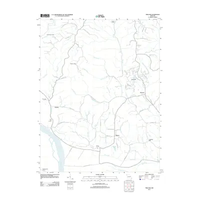 2012 Treloar2012 Print · USGSThe Missouri River bottoms and the rising hills of Warren County are captured here in the early twenty-first century. Genealogists can locate family landmarks like Saint Johns Cemetery and Emmanuel Cemetery or trace the rural roads connecting Treloar and Holstein.
 - 2012 Map of Sullivan, 2012 Print
 2012 Sullivan2012 Print · USGSSullivan and Bourbon appear in the early twenty-first century along a corridor defined by the Meramec River and rugged hollows. Genealogists and local historians can trace family sites at Hill Cemetery, Rock Cemetery, and the landing strip at Sullivan Memorial Airport.
Showing maps 1-25 of 78
Top cities of Franklin County
- Washington historical maps
- Union historical maps
- Pacific historical maps
- Gray Summit historical maps
- New Haven historical maps
- Gerald historical maps
See more
Frequently asked questions
- What are the different types of historical maps available for Franklin County?
- What is the oldest map of Franklin County?
- Where can I purchase historical maps of Franklin County for my home or office?
- Where can I download high-res historical maps of Franklin County?
- Are there historical topographic maps available for Franklin County?
- Is there historical aerial imagery available for Franklin County?
- Where are historical maps of Franklin County sourced from?