2000s (21st Century) Maps of Clinton, Missouri
Explore 16 historic maps of Clinton from the 2000s (21st Century). These maps offer a rare glimpse into what life looked like during the 2000s — showing old roads, neighborhoods, homes, and landmarks that have changed or disappeared over time.
Whether you're researching your family's past, planning a metal detecting trip, or studying how Clinton's landscape evolved across the 2000s, these high-resolution maps are a powerful tool for exploring the history of this region.
- Focus on a specific era: All maps on this page are from the 2000s, giving you a focused view of this time period.
- See what’s changed: Compare century-old streets, trails, and buildings to today's modern landscape using overlays and satellite layers.
- Research with precision: Use these maps for genealogy, historical research, land use analysis, or educational projects.
- View, download, or print: Maps are fully viewable online in high resolution, and can be downloaded or printed for your own records.
Start exploring Clinton's history through authentic maps from the 2000s. This is your window into the past.
Clinton, MO maps
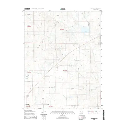
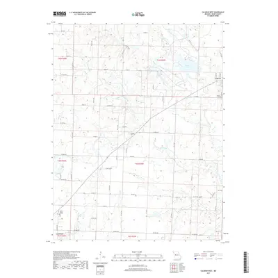
(16)- 2011 Map of Calhoun West, 2011 Print
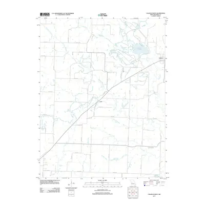 2011 Calhoun West2011 Print · USGSCovers Clinton, including Calhoun, Lewis, and other nearby areas
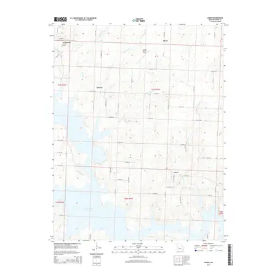
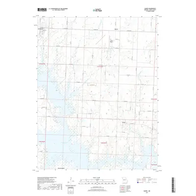
 - 2011 Map of Gaines, 2011 Print
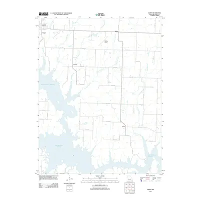 2011 Gaines2011 Print · USGSCovers Clinton, including Alberta, Gaines, and other nearby areas
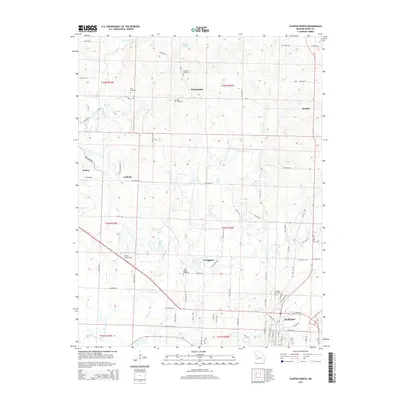
 - 2011 Map of Clinton North, 2011 Print
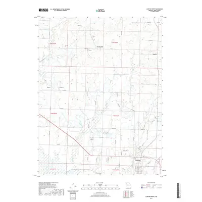
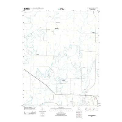 2011 Clinton North2011 Print · USGSCovers Clinton, including Huntingdale, Harvey, and other nearby areas
 - 2011 Map of Clinton South, 2011 Print
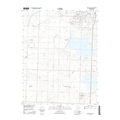
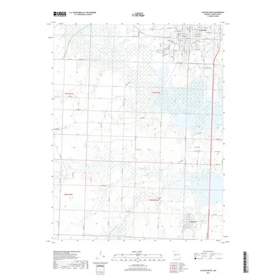
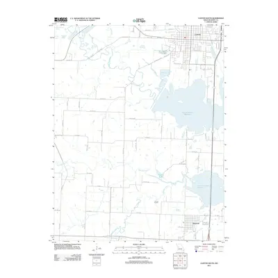 2011 Clinton South2011 Print · USGSCovers Clinton, including Deepwater, La Due, and other nearby areas
 - 2014 Map of Calhoun West, 2014 Print
 2014 Calhoun West2014 Print · USGSCovers Clinton, including Calhoun, Lewis, and other nearby areas
 - 2015 Map of Clinton North, 2015 Print
 2015 Clinton North2015 Print · USGSCovers Clinton, including Huntingdale, Harvey, and other nearby areas
 - 2015 Map of Gaines, 2015 Print
 2015 Gaines2015 Print · USGSCovers Clinton, including Alberta, Gaines, and other nearby areas
 - 2015 Map of Clinton South, 2015 Print
 2015 Clinton South2015 Print · USGSCovers Clinton, including Deepwater, La Due, and other nearby areas
 - 2017 Map of Calhoun West, 2017 Print
 2017 Calhoun West2017 Print · USGSCovers Clinton, including Calhoun, Lewis, and other nearby areas
 - 2017 Map of Clinton North, 2017 Print
 2017 Clinton North2017 Print · USGSCovers Clinton, including Huntingdale, Harvey, and other nearby areas
 - 2017 Map of Clinton South, 2017 Print
 2017 Clinton South2017 Print · USGSCovers Clinton, including Deepwater, La Due, and other nearby areas
 - 2017 Map of Gaines, 2017 Print
 2017 Gaines2017 Print · USGSCovers Clinton, including Alberta, Gaines, and other nearby areas
 - 2021 Map of Calhoun West, 2021 Print
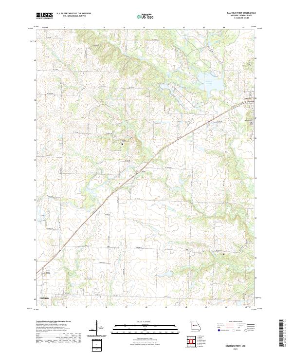 2021 Calhoun West2021 Print · USGSHenry County at the start of the 2020s shows a landscape defined by its historic rail heritage and prairie stream networks. Genealogists can trace rural cemeteries like Drakes Chapel Cem and Combs Cem while following the Katy Trl through Lewis.
 - 2021 Map of Gaines, 2021 Print
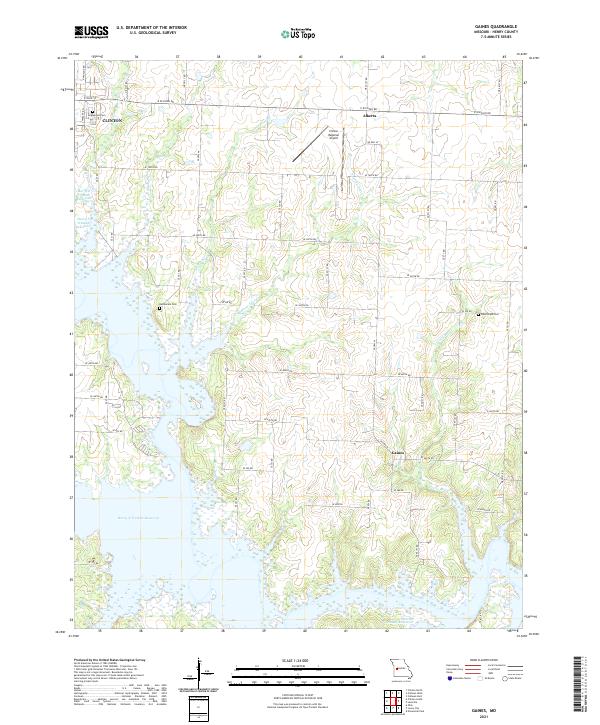 2021 Gaines2021 Print · USGSHenry County is captured here in the early 2020s, showing the sprawling shoreline where the Harry S Truman Reservoir meets rural farmland. Researchers can locate family heritage sites like Englewood Cemetery and Bethlehem Cemetery near Clinton.
 - 2021 Map of Clinton South, 2021 Print
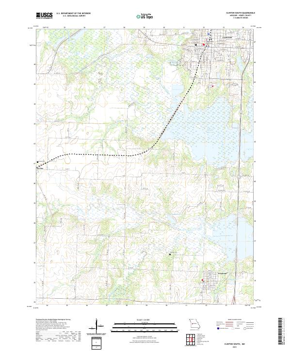 2021 Clinton South2021 Print · USGSHenry County is shown in detail during the early 2020s, centered on the historic seat of Clinton and the expansive Harry S Truman Reservoir. Researchers can trace local lineage through Oak Grove Cem and Dunning Cem, or explore the smaller community of Deepwater.
 - 2021 Map of Clinton North, 2021 Print
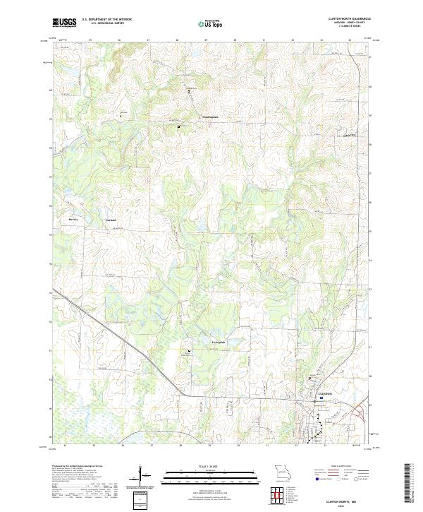 2021 Clinton North2021 Print · USGSHenry County remains a landscape of quiet crossroads and historic family burial sites in this recent survey. Researchers can locate several key cemeteries such as Freeman Cem and Paul Cem or trace the route of the old railroad line now known as the Katy Trl.
End of results
Showing maps 1-16 of 16
Top cities near Clinton
- Leesville historical maps
- Lowry City historical maps
- Leeton historical maps
- Calhoun historical maps
- Deepwater historical maps
- Montrose historical maps
See more
Frequently asked questions
- What are the different types of historical maps available for Clinton?
- What is the oldest map of Clinton?
- Where can I purchase historical maps of Clinton for my home or office?
- Where can I download high-res historical maps of Clinton?
- Are there historical topographic maps available for Clinton?
- Is there historical aerial imagery available for Clinton?
- Where are historical maps of Clinton sourced from?