Old Maps of Clinton, Missouri for Metal Detecting
Plan your next treasure hunt with 28 historic maps of Clinton. Find old homesites, ghost towns, trails, and gathering spots that may be lost to time — perfect for identifying promising metal detecting locations.
- Locate forgotten sites: Uncover places like long-lost settlements, abandoned rail lines, or gathering spots.
- Plan better hunts: Use map overlays combined with LiDAR or satellite views to narrow in on historically rich areas.
- Made for detectorists: Thousands of hobbyists use these maps to discover relics, coins, and hidden history.
Use these historic maps to boost your research and find new opportunities beneath the surface of Clinton.
Clinton, MO maps
(28)- 1887 Map of Clinton
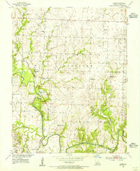
 1887 Clinton1887 Print · USGSWest-Central Missouri is captured during a period of rapid railroad expansion in the 1880s, centered on the growing junction at Clinton. Researchers can trace early township developments and find established settlements like Chalk Level, Iconium, and Brownington along the winding Osage River.
 - 1894 Map of Clinton
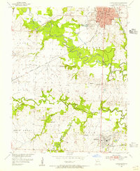
 1894 Clinton1894 Print · USGSHenry County and St. Clair County thrive during the peak of the railroad era in the 1890s. Genealogists and historians can trace the early rail stops at Clinton and Brownington, or locate vanished post offices like Chalk Level and Huntingdale.4 unique versions available
 - 1947 Map of Jefferson City, 1949 Print
 1947 Jefferson City1949 Print · USGSCentral Missouri and the northern Ozarks come into focus in this late 1940s survey of the river-and-rail landscape. Genealogists and historians can trace the growth of Jefferson City and Sedalia or locate family roots near Bagnell Dam and the Lake of the Ozarks.
 - 1953 Map of Gaines, 1955 Print
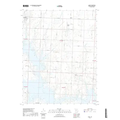
 1953 Gaines1955 Print · USGSHenry County in the early fifties shows a landscape of river-bottom farms and rural industry along the South Grand River. Genealogists and historians can trace local landmarks like Englewood Cem, the Wastell Mine, and several country schools including Freedom Sch.3 unique versions available
 - 1953 Map of Clinton South, 1955 Print
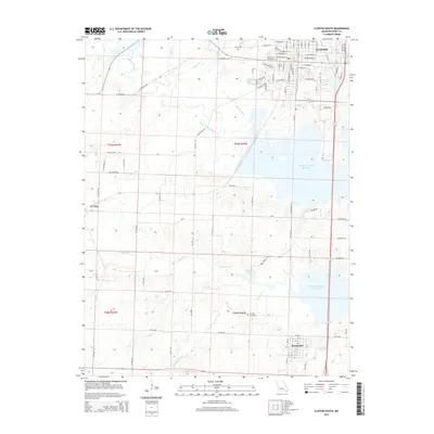
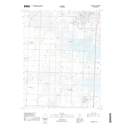
 1953 Clinton South1955 Print · USGSHenry County is captured in the early fifties, showing the convergence of river commerce and coal mining. Genealogists can locate family landmarks such as Oak Grove Grove Cem, Franklin Sch, and the riverside settlement of Deepwater.3 unique versions available
 - 1953 Map of Calhoun West, 1955 Print
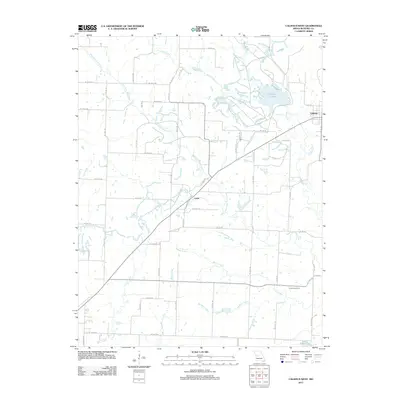
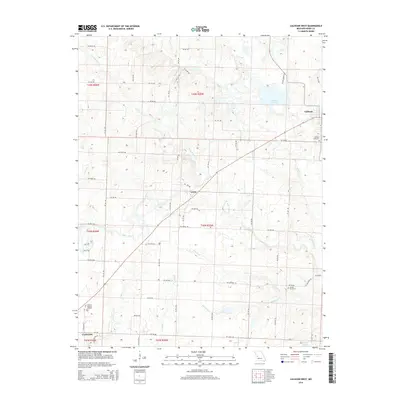
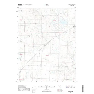
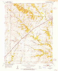 1953 Calhoun West1955 Print · USGSHenry County in the mid-fifties is captured here as a landscape of small farmsteads and rural school districts connected by the Missouri Kansas Texas railroad. Researchers can trace family history through sites like Drakes Chapel, Lewis, and the Deer Creek Sch.3 unique versions available
 - 1953 Map of Clinton North, 1980 Print
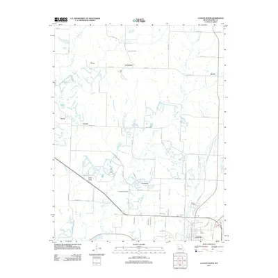
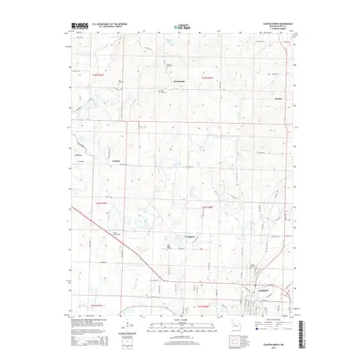
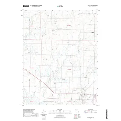
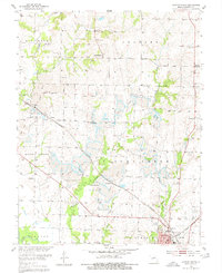 1953 Clinton North1980 Print · USGSHenry County is captured here in the early 1950s, showing a transition from rural farming to heavy industry. Genealogists can trace family roots at Paul Cem, while historians can locate vanished landmarks like Garland Sch and Livingston.3 unique versions available
 - 1954 Map of Jefferson City
 1954 Jefferson City1954 Print · USGSCentral Missouri in the early postwar years showcases a landscape defined by the winding Lake of the Ozarks and the state capital at Jefferson City. Researchers can trace the mid-century rail networks of the Missouri Pacific RR and locate rural communities like Tuscumbia, St Elizabeth, and St Anthony.2 unique versions available
 - 1955 Map of Jefferson City, 1967 Print
 1955 Jefferson City1967 Print · USGSCentral Missouri in the mid-fifties is defined by the winding Missouri River and the expanding reach of Lake of the Ozarks. Researchers can trace the rail corridors of the Missouri Pacific or locate the early footprint of Whiteman AFB and Jefferson City.4 unique versions available
 - 1958 Map of Jefferson City
 1958 Jefferson City1958 Print · USGSCentral Missouri in the late fifties shows a region transforming through the growth of Whiteman Air Force Base and the Lake of the Ozarks. Researchers can trace rail lines like the Missouri Pacific or find family roots at Enloe Cemetery and Mount Pleasant Cem.
 - 1959 Map of Jefferson City
 1959 Jefferson City1959 Print · USGSCentral Missouri is captured during the mid-fifties as the river economy and rail networks like the Missouri Pacific met the rise of the automobile. Local researchers can trace family landmarks and rural infrastructure from the Lake of the Ozarks up to Providence Cemetery and Knob Noster State Park.
 - 1983 Map of Harry S Truman Reservoir, 1984 Print
 1983 Harry S Truman Reservoir1984 Print · USGSBenton and Henry counties center on the vast Harry S Truman Reservoir in the early 1980s as the landscape adapted to its new shoreline. Genealogists and historians can trace old river crossings like Bledsoe Ferry, local landmarks like Mt Zion Ch, and unique settlements such as Tightwad.
 - 2011 Map of Calhoun West, 2011 Print
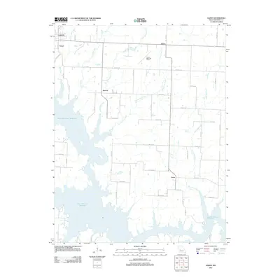
 2011 Calhoun West2011 Print · USGSCovers Clinton, including Calhoun, Lewis, and other nearby areas
 - 2011 Map of Gaines, 2011 Print
 2011 Gaines2011 Print · USGSCovers Clinton, including Alberta, Gaines, and other nearby areas
 - 2011 Map of Clinton North, 2011 Print
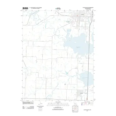
 2011 Clinton North2011 Print · USGSCovers Clinton, including Huntingdale, Harvey, and other nearby areas
 - 2011 Map of Clinton South, 2011 Print
 2011 Clinton South2011 Print · USGSCovers Clinton, including Deepwater, La Due, and other nearby areas
 - 2014 Map of Calhoun West, 2014 Print
 2014 Calhoun West2014 Print · USGSCovers Clinton, including Calhoun, Lewis, and other nearby areas
 - 2015 Map of Clinton North, 2015 Print
 2015 Clinton North2015 Print · USGSCovers Clinton, including Huntingdale, Harvey, and other nearby areas
 - 2015 Map of Gaines, 2015 Print
 2015 Gaines2015 Print · USGSCovers Clinton, including Alberta, Gaines, and other nearby areas
 - 2015 Map of Clinton South, 2015 Print
 2015 Clinton South2015 Print · USGSCovers Clinton, including Deepwater, La Due, and other nearby areas
 - 2017 Map of Calhoun West, 2017 Print
 2017 Calhoun West2017 Print · USGSCovers Clinton, including Calhoun, Lewis, and other nearby areas
 - 2017 Map of Clinton North, 2017 Print
 2017 Clinton North2017 Print · USGSCovers Clinton, including Huntingdale, Harvey, and other nearby areas
 - 2017 Map of Clinton South, 2017 Print
 2017 Clinton South2017 Print · USGSCovers Clinton, including Deepwater, La Due, and other nearby areas
 - 2017 Map of Gaines, 2017 Print
 2017 Gaines2017 Print · USGSCovers Clinton, including Alberta, Gaines, and other nearby areas
 - 2021 Map of Calhoun West, 2021 Print
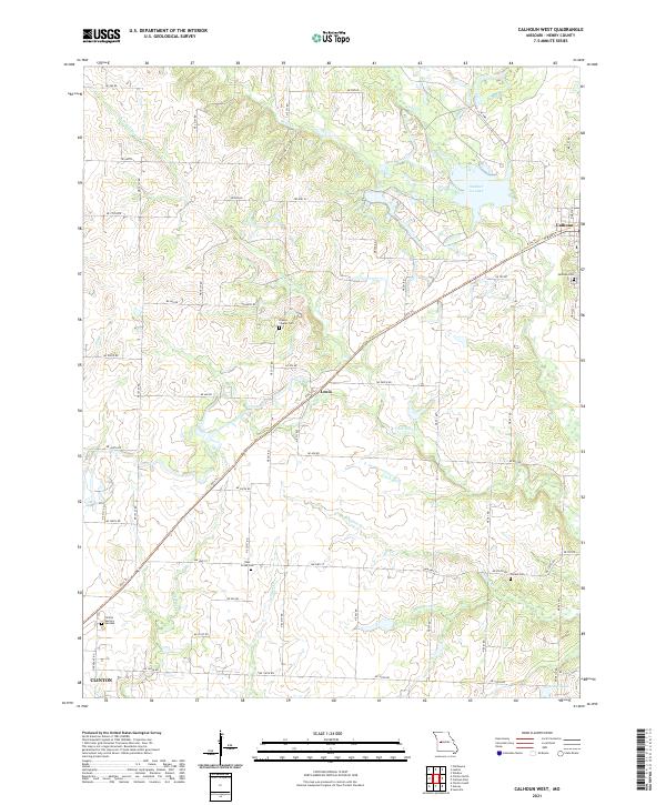 2021 Calhoun West2021 Print · USGSHenry County at the start of the 2020s shows a landscape defined by its historic rail heritage and prairie stream networks. Genealogists can trace rural cemeteries like Drakes Chapel Cem and Combs Cem while following the Katy Trl through Lewis.
Showing maps 1-25 of 28
Top cities near Clinton
- Leesville historical maps
- Lowry City historical maps
- Leeton historical maps
- Calhoun historical maps
- Deepwater historical maps
- Montrose historical maps
See more
Frequently asked questions
- What are the different types of historical maps available for Clinton?
- What is the oldest map of Clinton?
- Where can I purchase historical maps of Clinton for my home or office?
- Where can I download high-res historical maps of Clinton?
- Are there historical topographic maps available for Clinton?
- Is there historical aerial imagery available for Clinton?
- Where are historical maps of Clinton sourced from?